Ray Wood

Wood, Forest in Yorkshire Ribble Valley

England

Ray Wood

Ordnance Survey Cut Mark This mark can be found on a field gatepost beside knot Lane at White Hill.
The benchmark has a recorded height of 153.6954 metres above sea level.
For more detail see : <span class="nowrap"><a title="https://www.bench-marks.org.uk/bm121976" rel="nofollow ugc noopener" href="https://www.bench-marks.org.uk/bm121976">Link</a><img style="margin-left:2px;" alt="External link" title="External link - shift click to open in new window" src="https://s1.geograph.org.uk/img/external.png" width="10" height="10"/></span>
Ordnance Survey Cut Mark Credit: Peter Wood

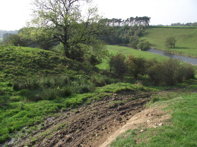
Ray Wood is a beautiful woodland located in the county of Yorkshire, England. Nestled within the larger expanse of the Forest of Galtres, this enchanting woodland covers an area of approximately 60 acres. It is characterized by its diverse range of tree species, including oak, ash, birch, and beech, which create a stunning canopy overhead.

The wood is home to a rich variety of wildlife, making it a popular destination for nature enthusiasts and photographers alike. Visitors can often spot native animals such as deer, badgers, foxes, and a plethora of bird species, including woodpeckers and owls. Additionally, the woodland floor is adorned with an array of wildflowers, adding vibrant splashes of color to the surroundings.

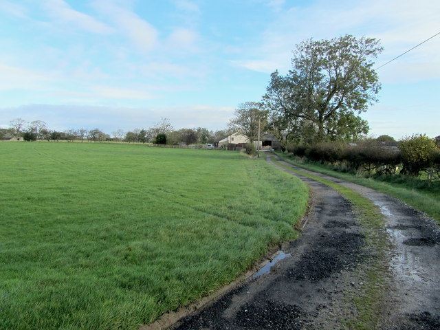
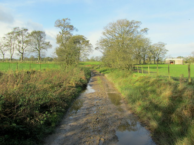
Ray Wood offers several walking trails, allowing visitors to explore its natural beauty at their own pace. These paths wind through the woodland, leading to hidden clearings, babbling brooks, and secluded spots perfect for picnics or quiet contemplation. The peaceful atmosphere and serenity of Ray Wood make it an ideal escape from the hustle and bustle of everyday life.

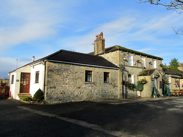
Managed by the Forestry Commission, Ray Wood is well-maintained and accessible to visitors of all ages and abilities. The wood also provides a habitat for numerous fungi species, attracting mycologists keen to study and document the diverse fungal life.

Overall, Ray Wood is a captivating woodland in Yorkshire, boasting a rich tapestry of flora and fauna. Its picturesque trails and tranquil ambiance make it a must-visit destination for anyone seeking a peaceful retreat amidst nature's beauty.

If you have any feedback on the listing, please let us know in the comments section below.
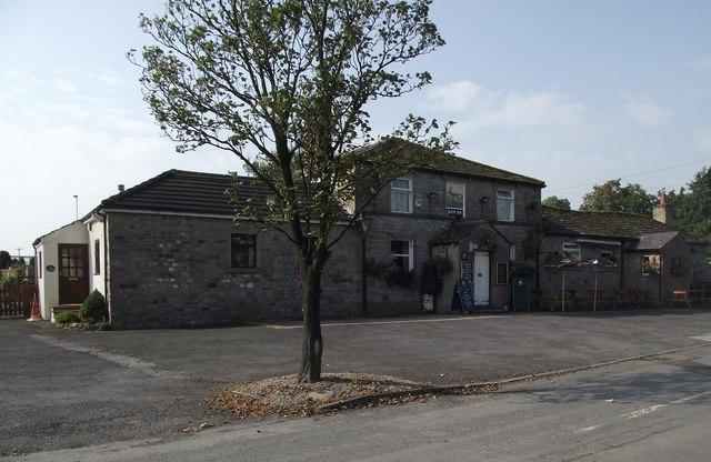
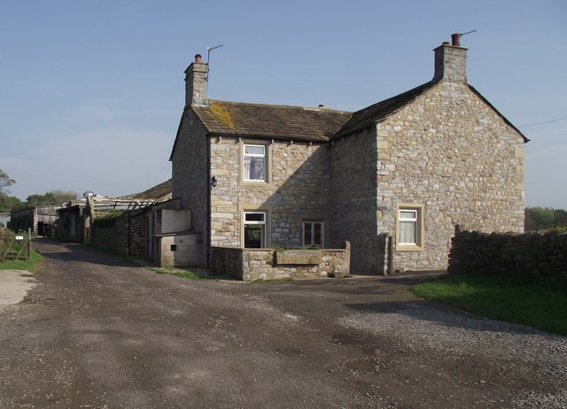
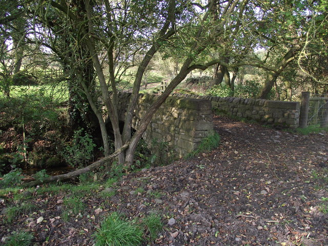
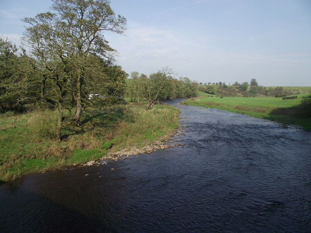
Ray Wood Images

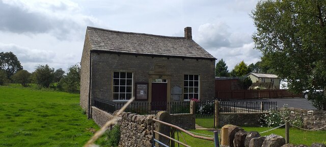
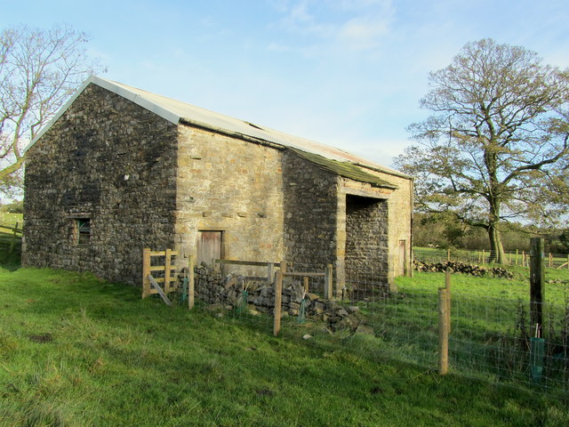
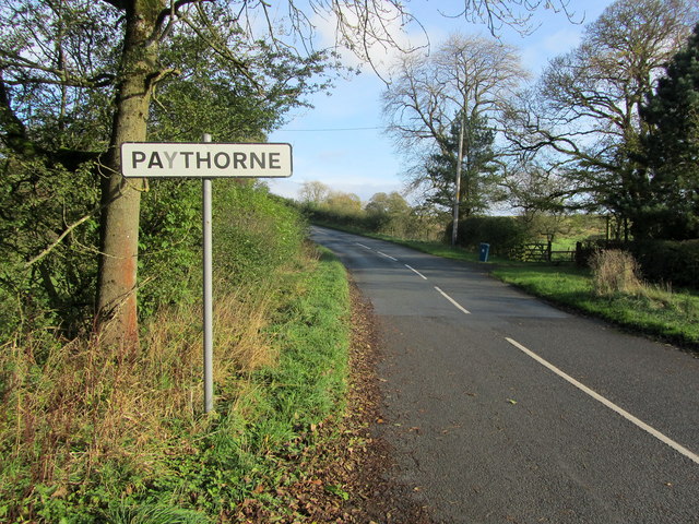
Images are sourced within 2km of 53.953061/-2.2669043 or Grid Reference SD8250. Thanks to Geograph Open Source API. All images are credited.

Ordnance Survey Cut Mark This mark can be found on a field gatepost beside knot Lane at White Hill.
The benchmark has a recorded height of 153.6954 metres above sea level.
For more detail see : <span class="nowrap"><a title="https://www.bench-marks.org.uk/bm121976" rel="nofollow ugc noopener" href="https://www.bench-marks.org.uk/bm121976">Link</a><img style="margin-left:2px;" alt="External link" title="External link - shift click to open in new window" src="https://s1.geograph.org.uk/img/external.png" width="10" height="10"/></span>
Ordnance Survey Cut Mark
This mark can be found on a field gatepost beside knot Lane at White Hill. The benchmark has a recorded height of 153.6954 metres above sea level. For more detail see : LinkExternal link
Ordnance Survey Cut Mark This mark can be found on the parapet wall of Paythorne Bridge
The benchmark has a recorded height of 104.7627 metres above sea level.
For more detail see : <span class="nowrap"><a title="https://www.bench-marks.org.uk/bm45450" rel="nofollow ugc noopener" href="https://www.bench-marks.org.uk/bm45450">Link</a><img style="margin-left:2px;" alt="External link" title="External link - shift click to open in new window" src="https://s1.geograph.org.uk/img/external.png" width="10" height="10"/></span>
Ordnance Survey Cut Mark
This mark can be found on the parapet wall of Paythorne Bridge The benchmark has a recorded height of 104.7627 metres above sea level. For more detail see : LinkExternal link
Ordnance Survey Cut Mark This mark can be found beside the doorway to Paythorne Methodist Church.
The benchmark has a recorded height of 132.7892 metres above sea level.
For more detail see : <span class="nowrap"><a title="https://www.bench-marks.org.uk/bm101370" rel="nofollow ugc noopener" href="https://www.bench-marks.org.uk/bm101370">Link</a><img style="margin-left:2px;" alt="External link" title="External link - shift click to open in new window" src="https://s1.geograph.org.uk/img/external.png" width="10" height="10"/></span>
Ordnance Survey Cut Mark
This mark can be found beside the doorway to Paythorne Methodist Church. The benchmark has a recorded height of 132.7892 metres above sea level. For more detail see : LinkExternal link
Paythorne Methodist Chapel Paythorne Methodist Church is the only church building in the small hamlet of Paythorne and is Grade 2 listed, dating from 1830.
Paythorne Methodist Chapel
Paythorne Methodist Church is the only church building in the small hamlet of Paythorne and is Grade 2 listed, dating from 1830.
Ordnance Survey Cut Mark This mark can be found on the wall of St Mary's Church, Gisburn
The benchmark has a recorded height of 138.3304 metres above sea level.
For more detail see : <span class="nowrap"><a title="https://www.bench-marks.org.uk/bm36317" rel="nofollow ugc noopener" href="https://www.bench-marks.org.uk/bm36317">Link</a><img style="margin-left:2px;" alt="External link" title="External link - shift click to open in new window" src="https://s1.geograph.org.uk/img/external.png" width="10" height="10"/></span>
Ordnance Survey Cut Mark
This mark can be found on the wall of St Mary's Church, Gisburn The benchmark has a recorded height of 138.3304 metres above sea level. For more detail see : LinkExternal link
West Portal Gisburne Park  Railway Tunnel A cut and cover short tunnel required by the landowner and decorated appropriately. The turrets of the east portal can be seen as well across this part of Gisburne Park
West Portal Gisburne Park Railway Tunnel
A cut and cover short tunnel required by the landowner and decorated appropriately. The turrets of the east portal can be seen as well across this part of Gisburne Park
Gisburne Park Railway Tunnel Turrets A curious view of mock castle turrets in parkland, disguising a railway line
Gisburne Park Railway Tunnel Turrets
A curious view of mock castle turrets in parkland, disguising a railway line
Gisburne Park Entrance Lodges At the south entrance at the end of Park Road from the centre of Gisburn
Gisburne Park Entrance Lodges
At the south entrance at the end of Park Road from the centre of Gisburn
The Buck, Paythorne The inn is typical of many country pubs in that its main source of income now seems to be from dining rather than drinking.
The Buck, Paythorne
The inn is typical of many country pubs in that its main source of income now seems to be from dining rather than drinking.
Manor House Farmhouse, Paythorne The farmers, Mr. and Mrs. Calvert, have a herd of 180 pedigree Holstein cows. The farm featured in the October 2011 edition of Lancashire Life magazine.
Manor House Farmhouse, Paythorne
The farmers, Mr. and Mrs. Calvert, have a herd of 180 pedigree Holstein cows. The farm featured in the October 2011 edition of Lancashire Life magazine.
Bridge over a stream near Paythorne Bridge The bridge is part of a public footpath. The stream is only metres away from its confluence with the River Ribble
Bridge over a stream near Paythorne Bridge
The bridge is part of a public footpath. The stream is only metres away from its confluence with the River Ribble
River Ribble at Paythorne Bridge Looking north east.
River Ribble at Paythorne Bridge
Looking north east.
Looking down to the Ribble From the Ribble Way. Heavy vehicles have recently churned up the ground.
Looking down to the Ribble
From the Ribble Way. Heavy vehicles have recently churned up the ground.
Buck Inn, Paythorne Local hostelry that serves the community of Paythorne
Buck Inn, Paythorne
Local hostelry that serves the community of Paythorne
Access Lane leading to Loftrans Part of Loftrans Lane, giving access to the photographed dwelling
Access Lane leading to Loftrans
Part of Loftrans Lane, giving access to the photographed dwelling
Muddy Track near Paythorne Recent heavy rain has rendered this track to a rather sloppy state
Muddy Track near Paythorne
Recent heavy rain has rendered this track to a rather sloppy state
Bank Close Laithe Stone barn near Paythorne
Bank Close Laithe
Stone barn near Paythorne
Entering Paythorne Climbing up towards Paythorne from the River Ribble
Entering Paythorne
Climbing up towards Paythorne from the River Ribble
Show me another place!

Ray Wood is located at Grid Ref: SD8250 (Lat: 53.953061, Lng: -2.2669043)

Division: West Riding

Administrative County: Lancashire

District: Ribble Valley

Police Authority: Lancashire

What 3 Words

///romantics.fragments.hungry. Near Hellifield, North Yorkshire

Related Wikis

Have you been to Ray Wood?

Leave your review of Ray Wood below (or comments, questions and feedback).