Millicent's Plantation
Wood, Forest in Dorset
England
Millicent's Plantation
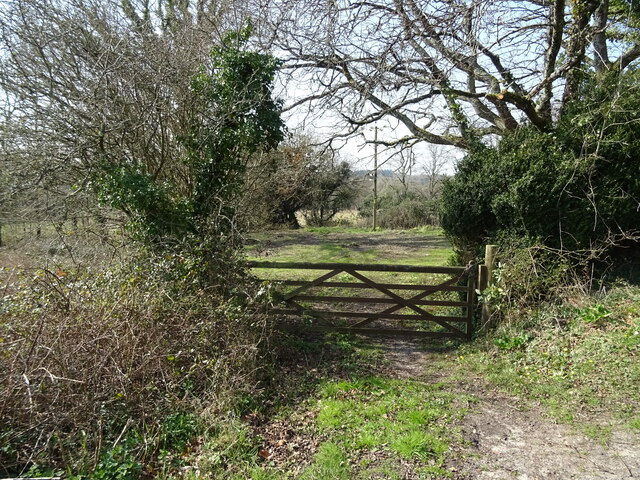
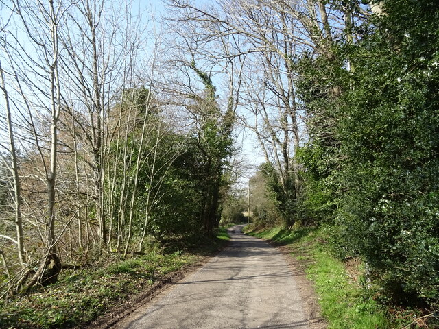
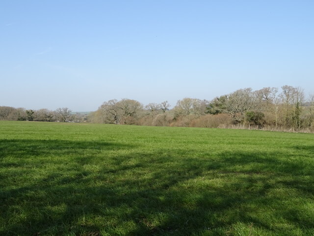
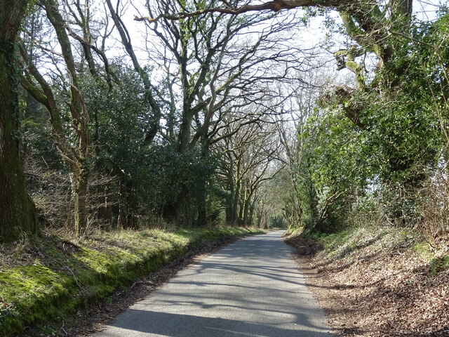
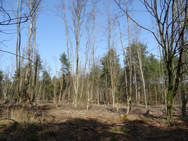
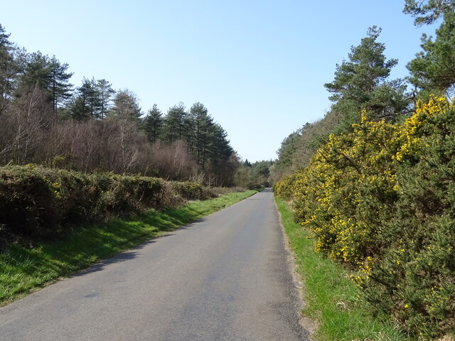
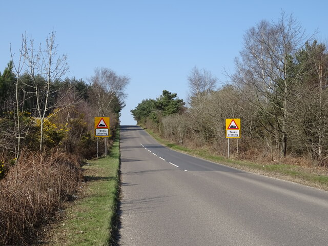
Millicent's Plantation, located in Dorset, England, is a picturesque woodland area known for its diverse flora and serene ambiance. Nestled in the heart of the county, this enchanting plantation spans across a vast expanse of land, offering visitors a tranquil escape from the bustling city life.
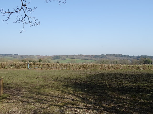
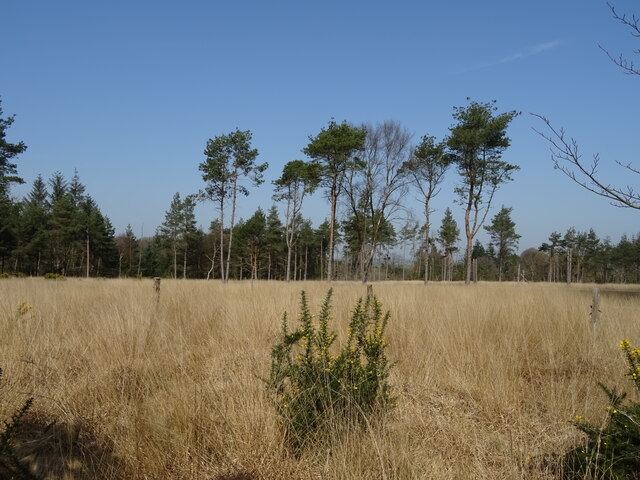
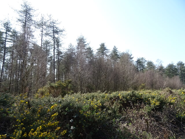
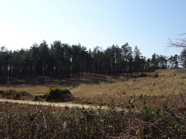
The plantation is primarily known for its rich variety of plant species, which thrive in the fertile soil and favorable climate of the region. From towering oak trees to delicate wildflowers, the plantation boasts a colorful tapestry of vegetation that changes with the seasons. The lush greenery provides a habitat for a wide range of wildlife, including birds, squirrels, and deer, making it a haven for nature enthusiasts and photographers.
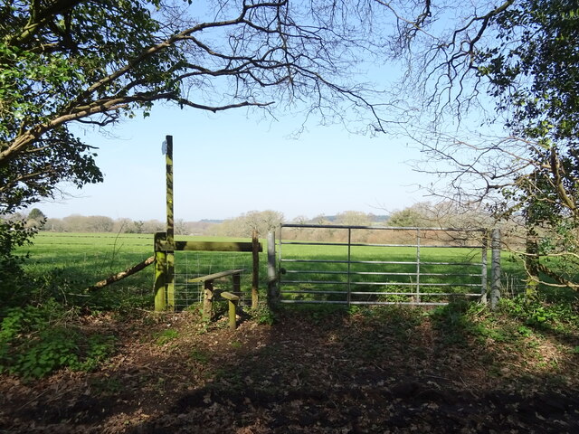
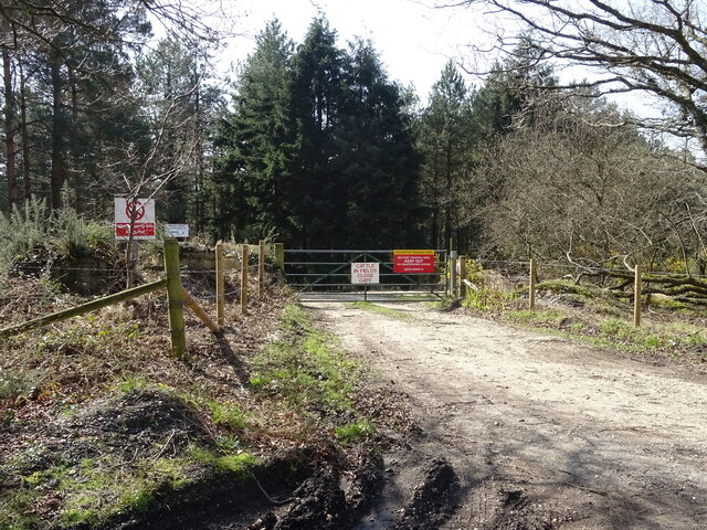
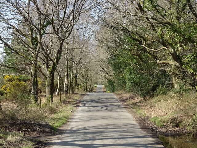
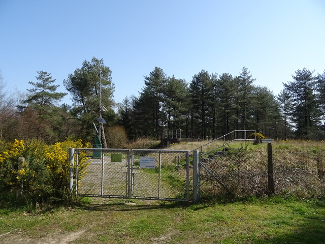
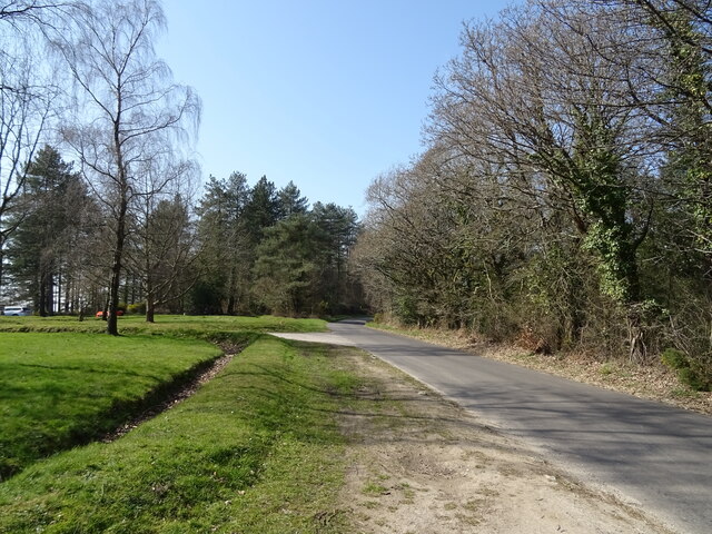
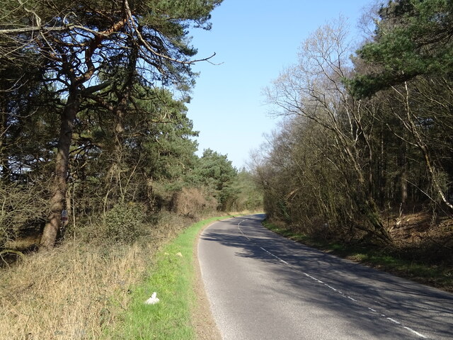
Millicent's Plantation is also beloved for its well-maintained footpaths and hiking trails that wind through the forest. These paths offer visitors the opportunity to explore the plantation's natural beauty, allowing them to take in the sights and sounds of the woodland as they wander through. Along these trails, one can discover hidden streams, charming clearings, and even ancient ruins, adding an element of mystery and historical intrigue to the plantation's allure.
For those seeking a peaceful retreat, Millicent's Plantation offers numerous picnic spots and benches strategically placed amidst the trees. These areas provide visitors with the perfect opportunity to relax, unwind, and soak in the majestic surroundings. Additionally, the plantation hosts various events throughout the year, such as guided nature walks and educational workshops, further enriching the experience for visitors of all ages.
Millicent's Plantation, with its breathtaking beauty and abundant natural wonders, stands as a testament to the stunning landscapes that can be found in Dorset, making it a must-visit destination for nature lovers and anyone seeking solace in the great outdoors.
If you have any feedback on the listing, please let us know in the comments section below.
Millicent's Plantation Images
Images are sourced within 2km of 50.725764/-2.2481187 or Grid Reference SY8291. Thanks to Geograph Open Source API. All images are credited.

Millicent's Plantation is located at Grid Ref: SY8291 (Lat: 50.725764, Lng: -2.2481187)
Unitary Authority: Dorset
Police Authority: Dorset
What 3 Words
///champions.member.dots. Near Bovington Camp, Dorset
Nearby Locations
Related Wikis
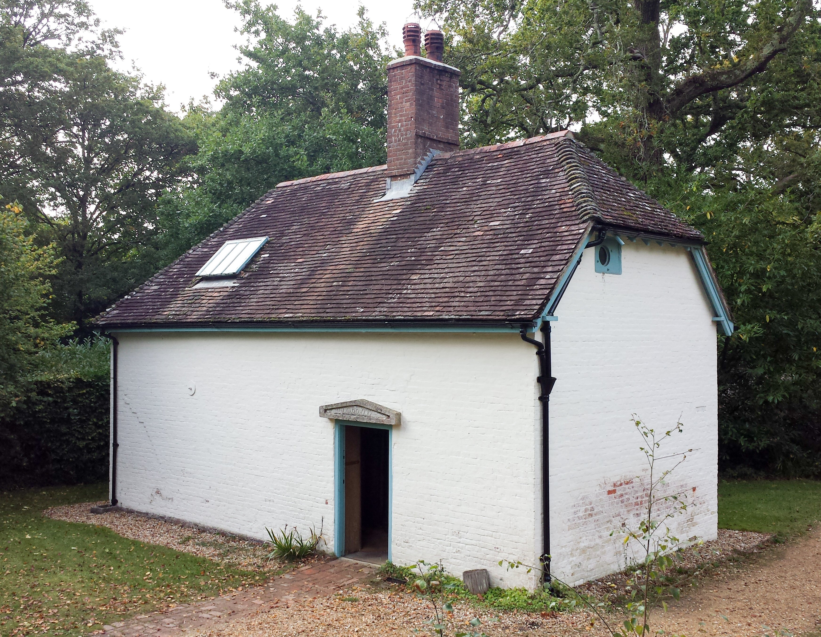
Clouds Hill
Clouds Hill is an isolated cottage near Wareham in the county of Dorset in South West England. It is the former home of T. E. Lawrence ("Lawrence of Arabia...

Oakers Bog
Oakers Bog (grid reference SY813918) is a 30.7 hectare biological and geological Site of Special Scientific Interest in Dorset, notified in 1988. ��2...

Turners Puddle
Turners Puddle is a village and former civil parish, now in the parish of Affpuddle and Turnerspuddle, in the Dorset district, in the ceremonial county...

Cull-Peppers Dish
Cull-Peppers Dish (grid reference SY814926) is a 0.9-hectare (2.2-acre) geological Site of Special Scientific Interest in Dorset, notified in 1989. �...

Briantspuddle
Briantspuddle is a small village in the Piddle Valley in Dorset, England, near the villages of Affpuddle and Tolpuddle and about 8 miles (13 km) east of...
Black Hill Heath
Black Hill Heath (grid reference SY835943) is a 69.67 hectare biological Site of Special Scientific Interest in Dorset, notified in 1989. == Sources... ==

Affpuddle
Affpuddle is a small village and former civil parish, now in the parish of Affpuddle and Turnerspuddle, in the Dorset district of the ceremonial county...
Hundredsbarrow Hundred
Hundredsbarrow Hundred (formerly often Barrow Hundred) was a hundred in the county of Dorset, England, containing the following parishes: Affpuddle Turners...
Related Videos

Flying 🪽. #shorts #shortsfeed #shortsvideo #reels #reels #youtuber #vlog #travel #minivlog #viral
Flying . #shorts #shortsfeed #shortsvideo #reels #reels #youtuber #vlog #travel #minivlog #viral.

Clouds Hill & Moreton Dorset ~ June Holiday 2019 Day #7
cloudshill #caravanningUKcommunity #dorset #nationaltrust #placestovisitindorset #holidaysindorset We start the day with a fried ...

Our Glamping Adventure...
Week Glamping at Longthorns Farm... while visiting the Sites along the way..love it...

Monkey World - Dorset, England, United Kingdom
Monkey World - Ape Rescue Centre My family absolutely love the TV show Monkey Life! You can visit all the rescued ...
Nearby Amenities
Located within 500m of 50.725764,-2.2481187Have you been to Millicent's Plantation?
Leave your review of Millicent's Plantation below (or comments, questions and feedback).