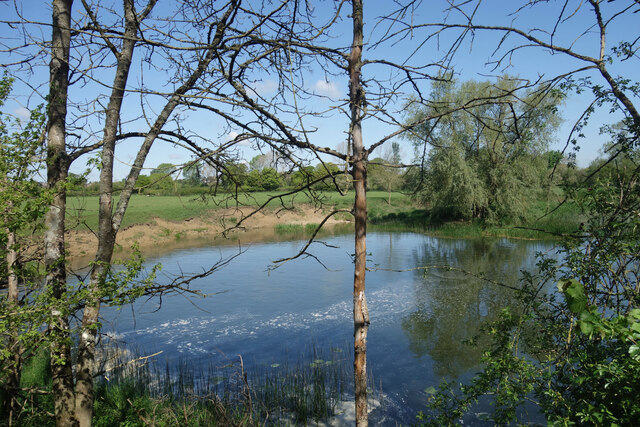
Ham Down Copse
Wood, Forest in Dorset
England
Ham Down Copse
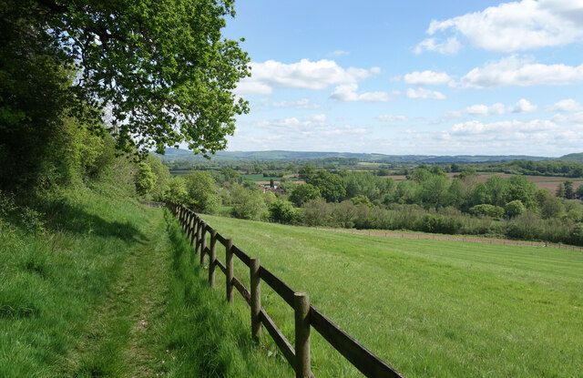
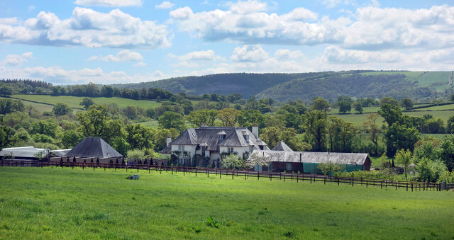
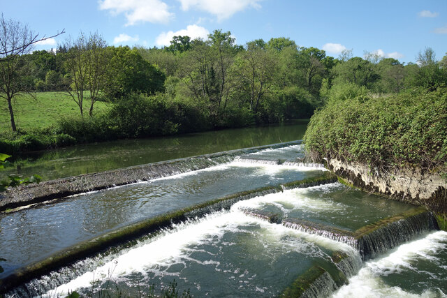
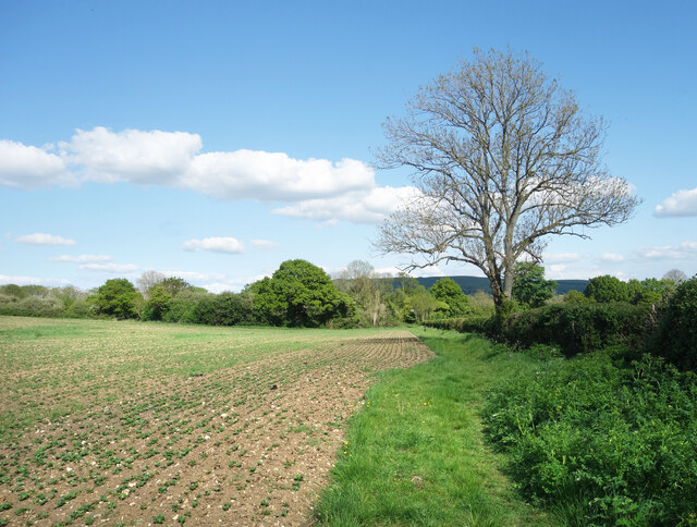
Ham Down Copse is a tranquil woodland located in the picturesque county of Dorset, England. Covering an area of approximately 20 hectares, this copse is a haven for nature enthusiasts and those seeking a peaceful retreat from the hustle and bustle of everyday life.
The copse is primarily composed of native broadleaf trees, including oak, beech, and ash, creating a diverse and vibrant ecosystem. The dense canopy provides ample shade, allowing a rich undergrowth of ferns, bluebells, and wildflowers to thrive beneath. The forest floor is a tapestry of mosses and fallen leaves, offering a soft and delicate carpet to explore.
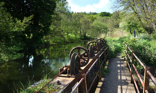
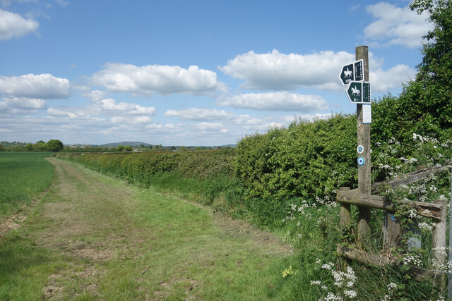
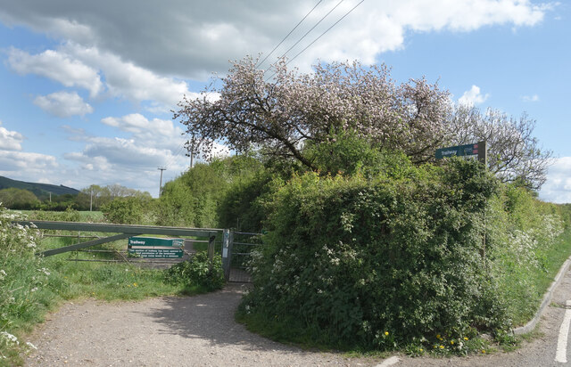
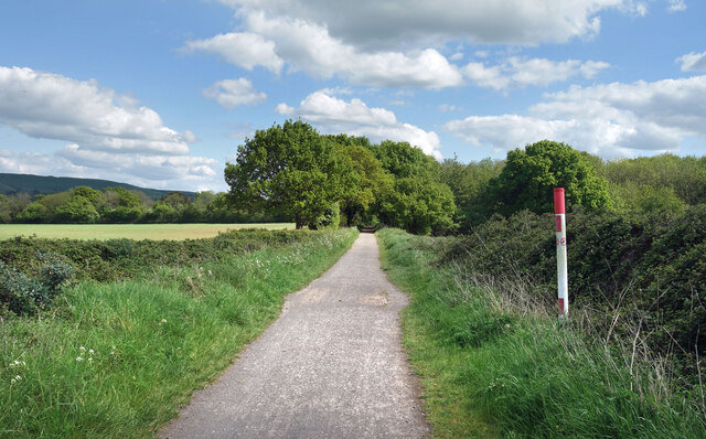
A network of well-maintained footpaths winds its way through the copse, inviting visitors to explore its natural wonders. The paths meander alongside babbling brooks and small clearings, providing opportunities for peaceful moments of reflection and observation. The sound of birdsong fills the air, with a variety of species such as robins, blackbirds, and woodpeckers calling this woodland home.
Ham Down Copse is not only a haven for wildlife but also a site of historical significance. The presence of ancient earthworks and burial mounds suggests that the copse has been inhabited and utilized by humans for centuries. These archaeological remnants add an air of mystery and intrigue to the already enchanting surroundings.
Overall, Ham Down Copse is a treasured natural gem in Dorset, offering visitors a chance to immerse themselves in the beauty of a diverse woodland ecosystem while exploring the rich history of the area.
If you have any feedback on the listing, please let us know in the comments section below.
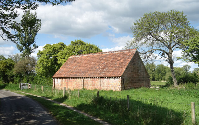
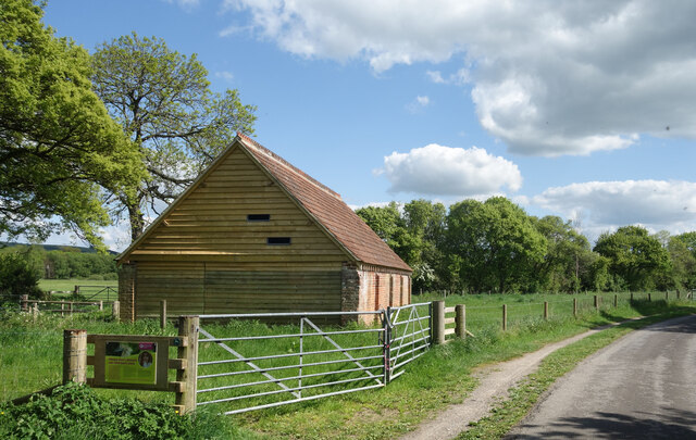
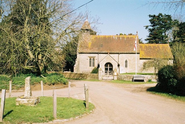
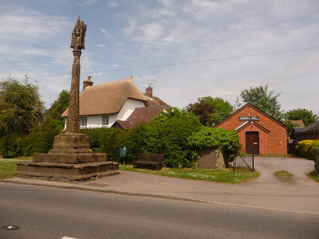
Ham Down Copse Images
Images are sourced within 2km of 50.918569/-2.2580206 or Grid Reference ST8113. Thanks to Geograph Open Source API. All images are credited.
Ham Down Copse is located at Grid Ref: ST8113 (Lat: 50.918569, Lng: -2.2580206)
Unitary Authority: Dorset
Police Authority: Dorset
What 3 Words
///seaweed.staging.ethic. Near Child Okeford, Dorset
Nearby Locations
Related Wikis
Hammoon
Hammoon is a small village and civil parish in the English county of Dorset, sited on a river terrace of alluvial silt by the River Stour, about two miles...

Child Okeford
Child Okeford (sometimes written Childe Okeford) is a village and civil parish in the county of Dorset in southern England, 3 miles (5 kilometres) east...

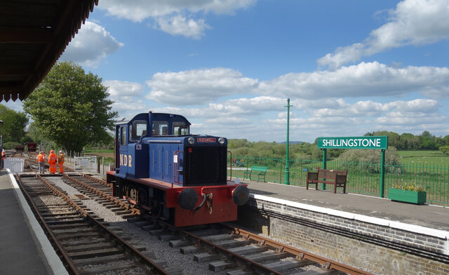
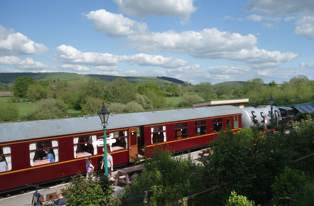
North Dorset Railway
North Dorset Railway (previously known as the Shillingstone Station Project, the North Dorset Railway Trust and the Shillingstone Railway Project) is a...

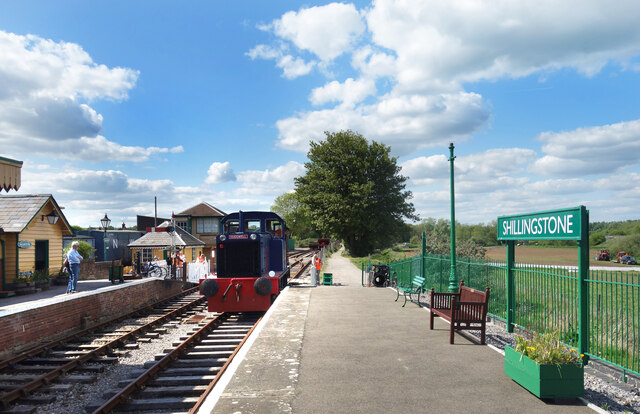
Shillingstone railway station
Shillingstone railway station was a station on the Somerset and Dorset Joint Railway (S&DJR), serving the village of Shillingstone in the English county...

Fiddleford
Fiddleford is a hamlet in the county of Dorset in southern England. Fiddleford is situated between Sturminster Newton and Okeford Fitzpaine in the North...

Fiddleford Manor
Fiddleford Manor (also known as Fiddleford Mill) is a medieval manor house located near Sturminster Newton, Dorset. It is thought to have been originally...

Girdlers Coppice
Girdlers Coppice is a nature reserve of the Dorset Wildlife Trust, near Sturminster Newton, in Dorset, England. It is an ancient woodland, adjacent to...
Shillingstone
Shillingstone is a village and civil parish in the Blackmore Vale area of north Dorset, England, situated on the River Stour between Sturminster Newton...
Nearby Amenities
Located within 500m of 50.918569,-2.2580206Have you been to Ham Down Copse?
Leave your review of Ham Down Copse below (or comments, questions and feedback).