Tan-hill Copse
Wood, Forest in Dorset
England
Tan-hill Copse
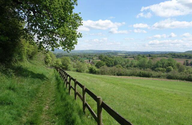
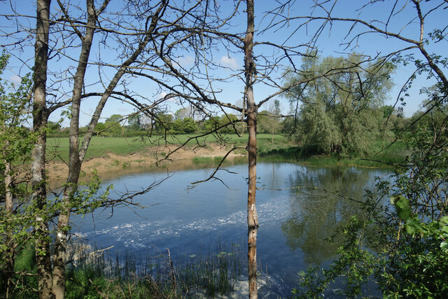
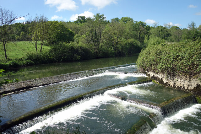
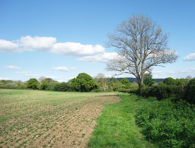
Tan-hill Copse is a picturesque woodland located in the county of Dorset, England. Situated near the village of Winfrith Newburgh, it covers an area of approximately 50 acres and is known for its natural beauty and diverse flora and fauna.
The copse is primarily composed of deciduous trees, with oak, beech, and ash being the dominant species. These trees create a dense canopy, providing ample shade and shelter for a wide range of wildlife. The forest floor is adorned with a variety of wildflowers, including bluebells, primroses, and wood anemones, adding a vibrant splash of color to the surroundings.
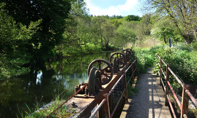
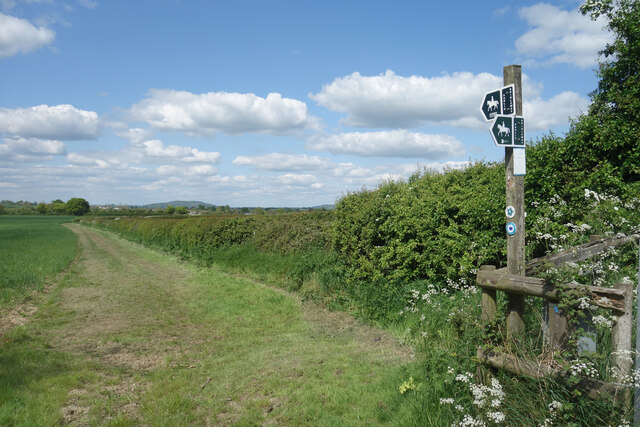
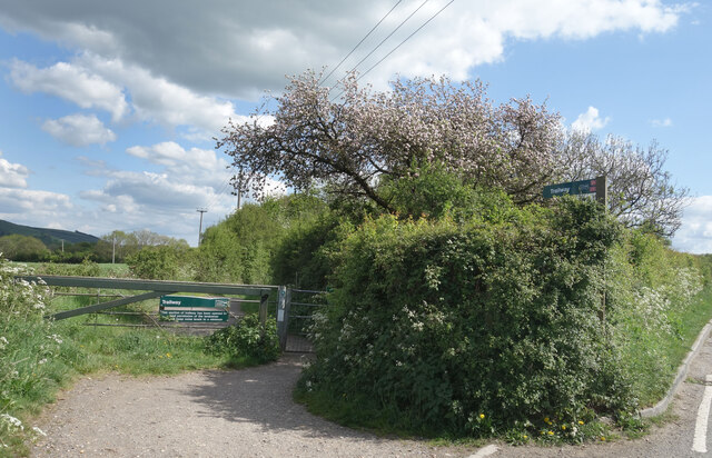
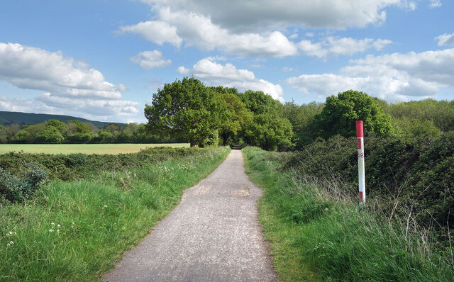
The copse is crisscrossed by a network of footpaths, allowing visitors to explore its enchanting depths. As they wander through the wood, visitors may encounter a plethora of wildlife, including deer, foxes, badgers, and a rich bird population. The tranquil atmosphere of Tan-hill Copse makes it a popular spot for nature lovers, walkers, and photographers alike.
Tan-hill Copse also boasts a rich history, with evidence of ancient settlements and human activity dating back centuries. Archaeological excavations have uncovered pottery shards, flint tools, and other artifacts, providing insights into the lives of those who once called this woodland home.
Overall, Tan-hill Copse is a hidden gem in Dorset, offering a peaceful retreat from the hustle and bustle of modern life. Its natural beauty, diverse wildlife, and historical significance make it a must-visit destination for anyone seeking a connection with nature and a glimpse into the past.
If you have any feedback on the listing, please let us know in the comments section below.
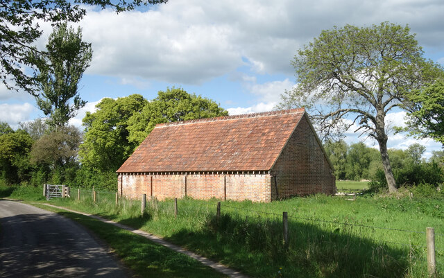
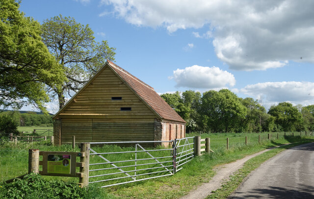
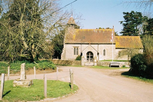
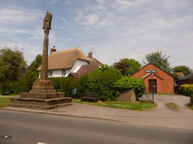
Tan-hill Copse Images
Images are sourced within 2km of 50.916373/-2.262902 or Grid Reference ST8113. Thanks to Geograph Open Source API. All images are credited.
Tan-hill Copse is located at Grid Ref: ST8113 (Lat: 50.916373, Lng: -2.262902)
Unitary Authority: Dorset
Police Authority: Dorset
What 3 Words
///describe.roadblock.apartment. Near Child Okeford, Dorset
Nearby Locations
Related Wikis

Fiddleford
Fiddleford is a hamlet in the county of Dorset in southern England. Fiddleford is situated between Sturminster Newton and Okeford Fitzpaine in the North...
Hammoon
Hammoon is a small village and civil parish in the English county of Dorset, sited on a river terrace of alluvial silt by the River Stour, about two miles...

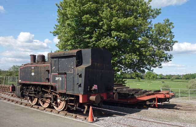
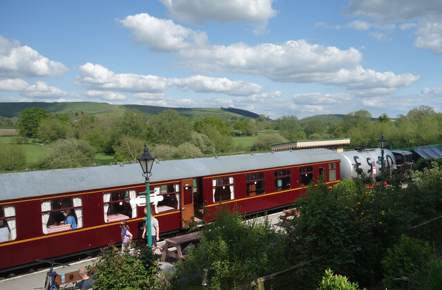
North Dorset Railway
North Dorset Railway (previously known as the Shillingstone Station Project, the North Dorset Railway Trust and the Shillingstone Railway Project) is a...

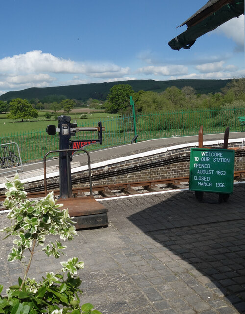
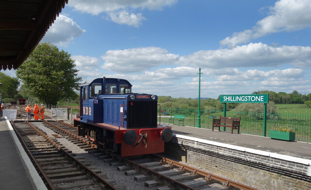
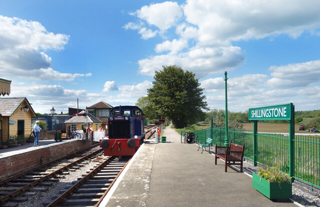
Shillingstone railway station
Shillingstone railway station was a station on the Somerset and Dorset Joint Railway (S&DJR), serving the village of Shillingstone in the English county...

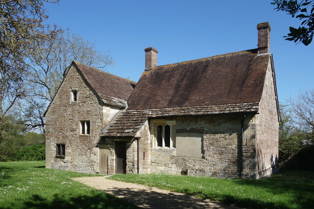
Fiddleford Manor
Fiddleford Manor (also known as Fiddleford Mill) is a medieval manor house located near Sturminster Newton, Dorset. It is thought to have been originally...

Girdlers Coppice
Girdlers Coppice is a nature reserve of the Dorset Wildlife Trust, near Sturminster Newton, in Dorset, England. It is an ancient woodland, adjacent to...

Child Okeford
Child Okeford (sometimes written Childe Okeford) is a village and civil parish in the county of Dorset in southern England, 3 miles (5 kilometres) east...
Shillingstone
Shillingstone is a village and civil parish in the Blackmore Vale area of north Dorset, England, situated on the River Stour between Sturminster Newton...
Related Videos

GLAMPING TRAVEL VLOG! 🌳 Countryside Dog Walks, Bonfire & Cosy Cabin Weekend Away • Dorset UK Retreat
Last weekend, my boyfriend Benji and I, along with our Cocker Spaniel Bonnie, headed to Sturminster Newton in North Dorset to ...

Hiking in North Dorset (summer 2021)
In the summer of 2021, I went glamping and I filmed around my shepherd's hut as well as the country walk I did. Finally I've edited ...

Shillingstone Railway Project In The Heart Of Rural Dorset Progress Update.
I spent the Sunday afternoon down at Shillingstone Railway Station thats managed by the North Dorset Railway Trust, to see what ...

Nearby Amenities
Located within 500m of 50.916373,-2.262902Have you been to Tan-hill Copse?
Leave your review of Tan-hill Copse below (or comments, questions and feedback).