Davey Plantation
Wood, Forest in Dorset
England
Davey Plantation
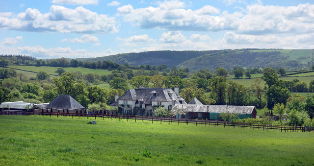
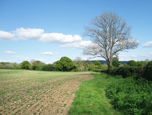
Davey Plantation is a sprawling woodland estate located in the picturesque county of Dorset, England. Spanning over hundreds of acres, this enchanting plantation is renowned for its breathtaking natural beauty and diverse range of flora and fauna.
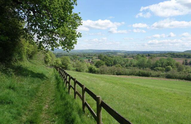
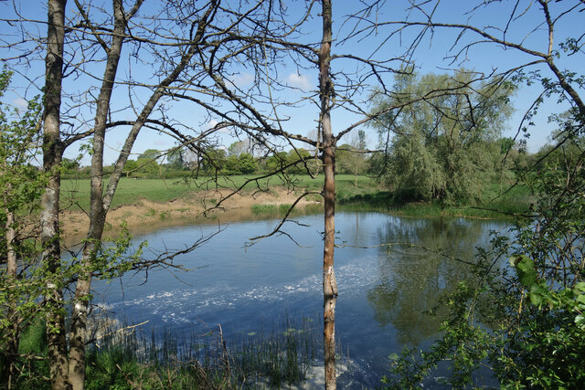
The plantation is predominantly covered by dense forests, offering a serene and tranquil escape from the bustling city life. Towering ancient oak trees dominate the landscape, providing a majestic canopy that filters the sunlight and creates a magical ambiance. The forest floor is adorned with a rich tapestry of wildflowers, mosses, and ferns, adding bursts of vibrant colors to the surroundings.
Davey Plantation is a haven for wildlife enthusiasts and nature lovers alike. It is home to a plethora of animal species, including deer, foxes, badgers, and a wide variety of birds. The plantation's diverse ecosystem supports a delicate balance of life, making it an ideal habitat for both common and rare species.
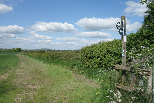
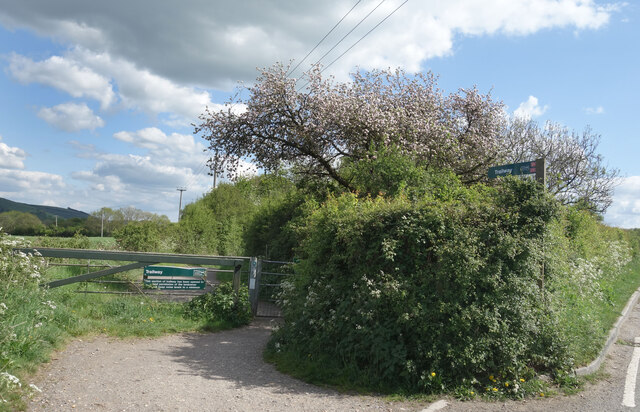
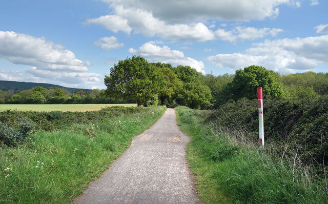
Visitors to Davey Plantation can explore its numerous walking trails and enjoy the tranquility of nature. The estate also offers guided tours led by knowledgeable naturalists, who provide insights into the flora and fauna that inhabit the plantation. Additionally, the plantation boasts a visitor center that houses educational exhibits, interactive displays, and a gift shop.
Davey Plantation, with its captivating woodlands and abundant wildlife, offers a truly immersive experience in the heart of Dorset. Whether it's a leisurely stroll through the forest or an educational adventure, this plantation is a must-visit for those seeking solace in nature's embrace.
If you have any feedback on the listing, please let us know in the comments section below.
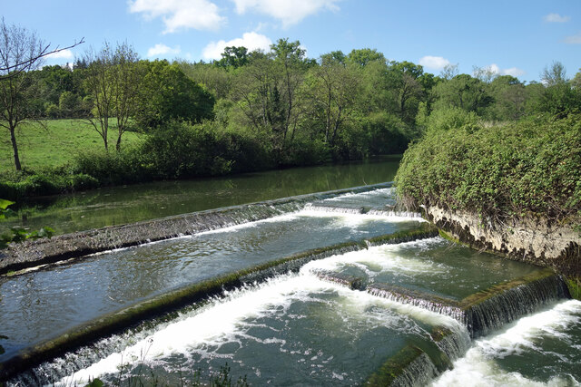
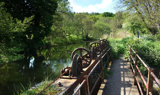
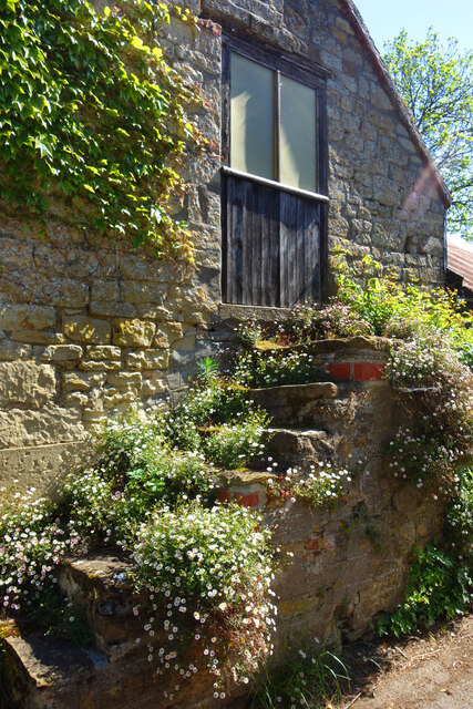
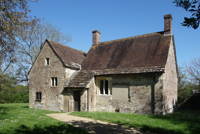
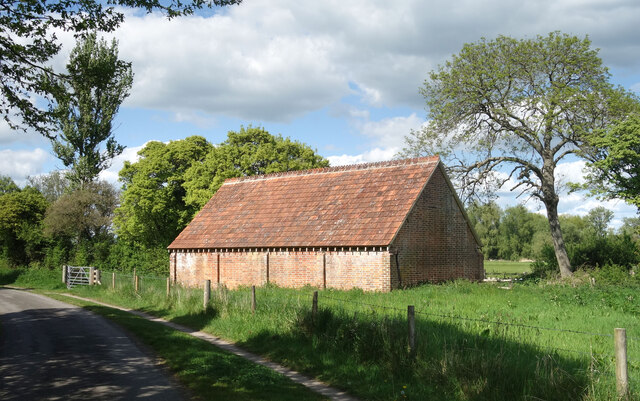
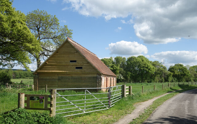
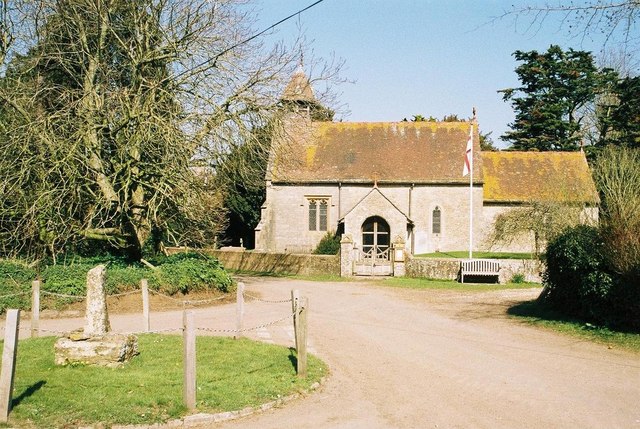
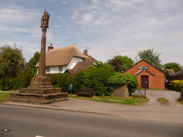
Davey Plantation Images
Images are sourced within 2km of 50.916836/-2.2610837 or Grid Reference ST8113. Thanks to Geograph Open Source API. All images are credited.
Davey Plantation is located at Grid Ref: ST8113 (Lat: 50.916836, Lng: -2.2610837)
Unitary Authority: Dorset
Police Authority: Dorset
What 3 Words
///rent.cared.smirking. Near Child Okeford, Dorset
Nearby Locations
Related Wikis
Hammoon
Hammoon is a small village and civil parish in the English county of Dorset, sited on a river terrace of alluvial silt by the River Stour, about two miles...

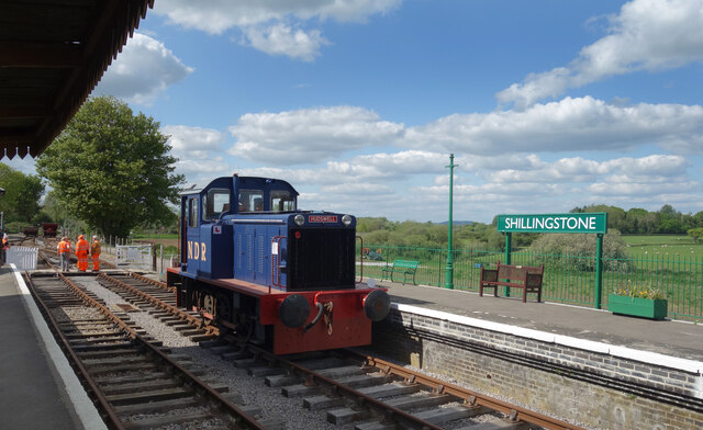
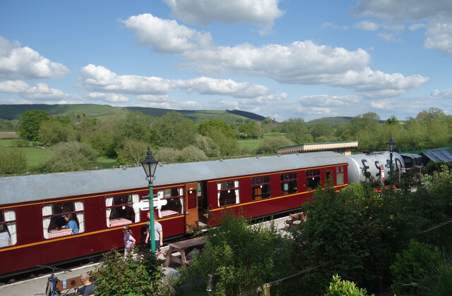
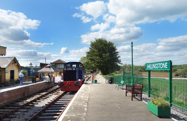
North Dorset Railway
North Dorset Railway (previously known as the Shillingstone Station Project, the North Dorset Railway Trust and the Shillingstone Railway Project) is a...

Shillingstone railway station
Shillingstone railway station was a station on the Somerset and Dorset Joint Railway (S&DJR), serving the village of Shillingstone in the English county...

Fiddleford
Fiddleford is a hamlet in the county of Dorset in southern England. Fiddleford is situated between Sturminster Newton and Okeford Fitzpaine in the North...

Fiddleford Manor
Fiddleford Manor (also known as Fiddleford Mill) is a medieval manor house located near Sturminster Newton, Dorset. It is thought to have been originally...

Child Okeford
Child Okeford (sometimes written Childe Okeford) is a village and civil parish in the county of Dorset in southern England, 3 miles (5 kilometres) east...

Girdlers Coppice
Girdlers Coppice is a nature reserve of the Dorset Wildlife Trust, near Sturminster Newton, in Dorset, England. It is an ancient woodland, adjacent to...
Shillingstone
Shillingstone is a village and civil parish in the Blackmore Vale area of north Dorset, England, situated on the River Stour between Sturminster Newton...
Nearby Amenities
Located within 500m of 50.916836,-2.2610837Have you been to Davey Plantation?
Leave your review of Davey Plantation below (or comments, questions and feedback).