Horsehill Covert
Wood, Forest in Gloucestershire Tewkesbury
England
Horsehill Covert
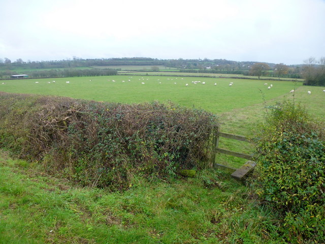
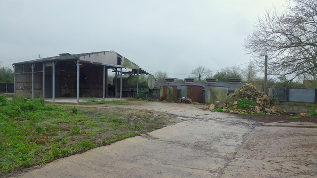
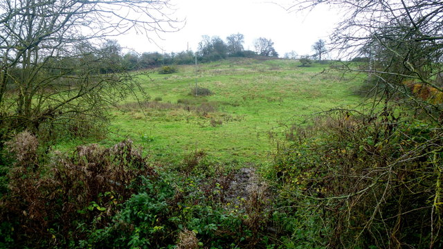
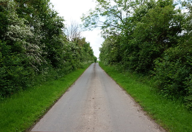
Horsehill Covert is a stunning woodland area located in Gloucestershire, England. Covering a vast area of approximately 100 acres, it is a popular destination for nature enthusiasts and outdoor enthusiasts alike. The covert is nestled within the larger Forest of Dean, a renowned ancient woodland.
The woodland is characterized by a diverse array of tree species, including oak, beech, birch, and ash. This variety of trees creates a rich and vibrant ecosystem, supporting a wide range of flora and fauna. It is home to numerous species of birds, mammals, and insects, making it a haven for wildlife enthusiasts and birdwatchers.
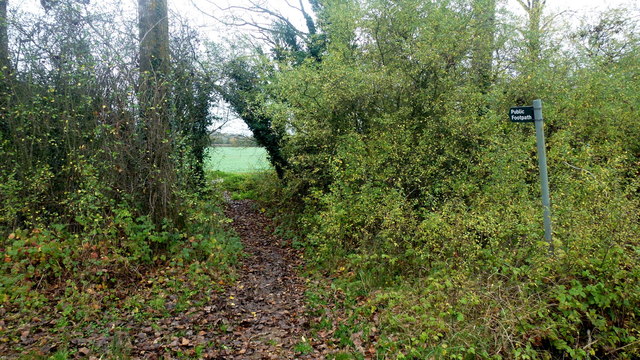
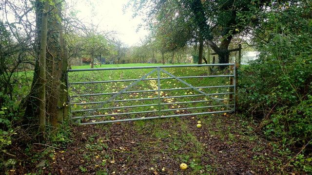
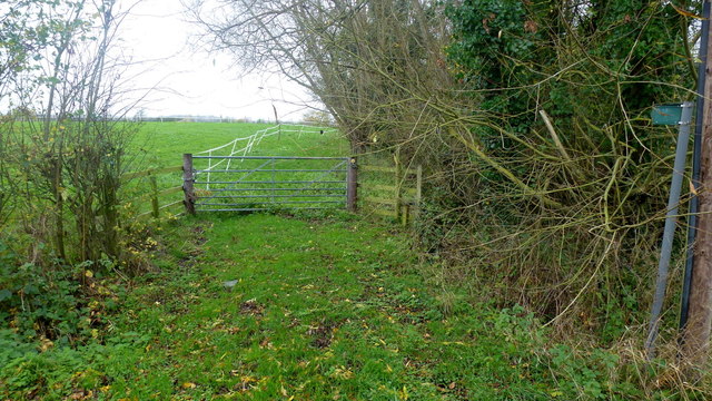
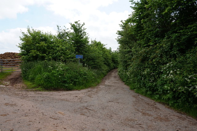
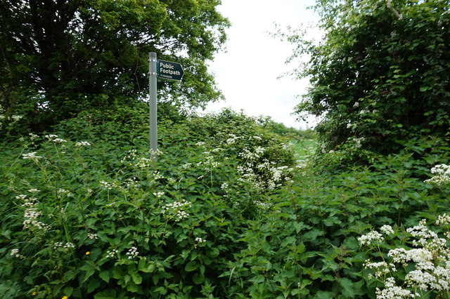
Horsehill Covert offers a range of recreational activities for visitors to enjoy. There are several well-maintained walking trails that wind through the woodland, allowing visitors to explore its natural beauty at their own pace. These trails provide opportunities for peaceful walks, jogging, and even horseback riding.
The woodland is also equipped with picnic areas, making it an ideal spot for families and friends to gather and enjoy a day in nature. Additionally, there are designated areas for camping and barbecues, allowing visitors to extend their stay and immerse themselves in the tranquil surroundings.
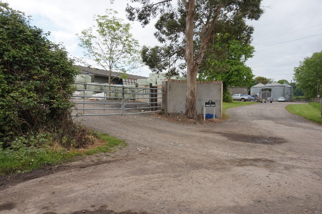
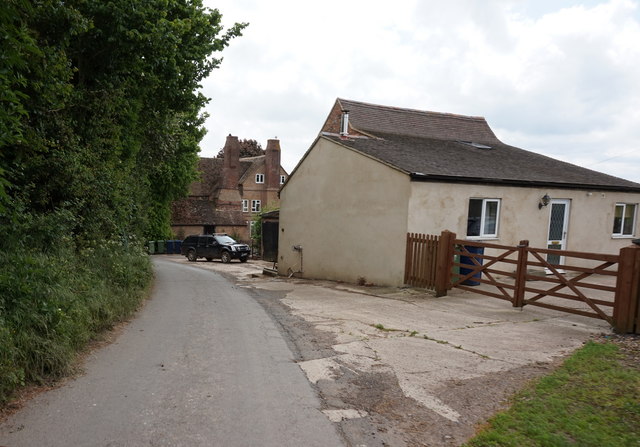
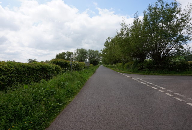
Horsehill Covert is easily accessible, with ample parking available for visitors. The woodland is open year-round and offers a truly immersive experience in the heart of Gloucestershire's natural beauty. Whether you are seeking a peaceful retreat, an adventure-filled hike, or a chance to observe wildlife, Horsehill Covert is a must-visit destination for nature lovers of all ages.
If you have any feedback on the listing, please let us know in the comments section below.
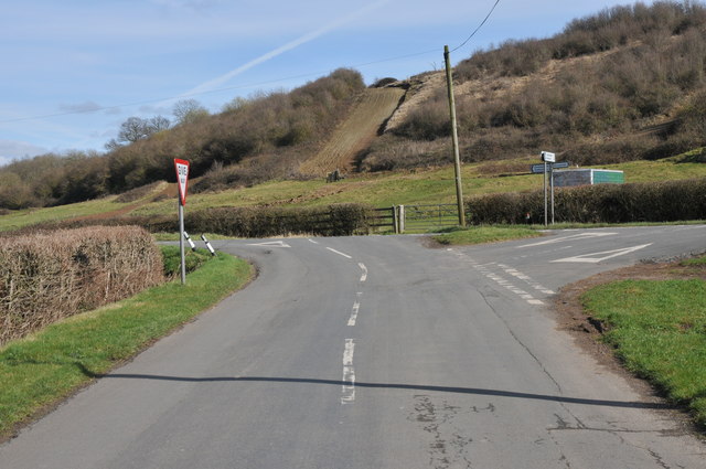
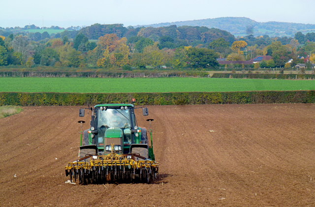
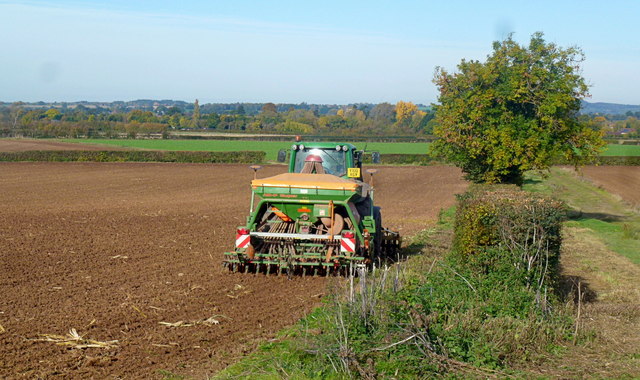
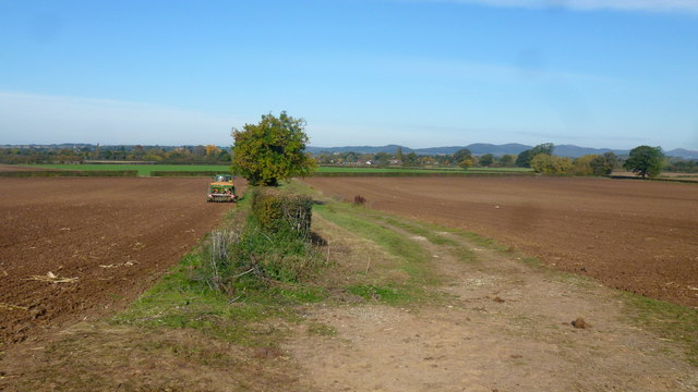
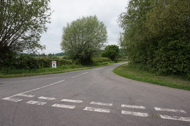
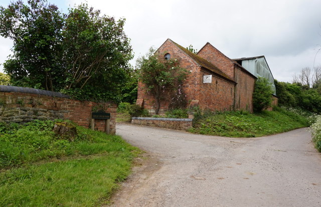
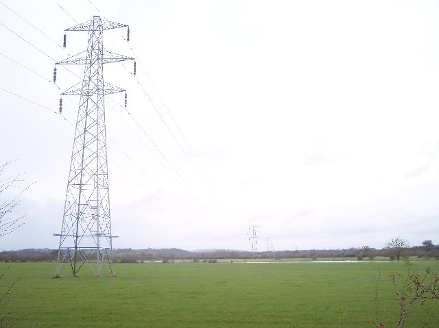
Horsehill Covert Images
Images are sourced within 2km of 51.943887/-2.267039 or Grid Reference SO8127. Thanks to Geograph Open Source API. All images are credited.
Horsehill Covert is located at Grid Ref: SO8127 (Lat: 51.943887, Lng: -2.267039)
Administrative County: Gloucestershire
District: Tewkesbury
Police Authority: Gloucestershire
What 3 Words
///cross.dustbin.tiling. Near Corse, Gloucestershire
Nearby Locations
Related Wikis

Hasfield Court
Hasfield Court is a Grade II* listed building in Hasfield, Gloucestershire, England. Hasfield Court was the site of a medieval manor house, the home of...

Hasfield
Hasfield is a civil parish in Gloucestershire, England, and lies six miles (9.7 km) south-west of Tewkesbury and seven miles (11 km) north of Gloucester...

Foscombe
Foscombe is a grade II* listed country house in Ashleworth, Gloucestershire. It was built around 1860 in the Gothic Revival style for the personal use...
Ashleworth Ham
Ashleworth Ham (grid reference SO833263) is a 104.73-hectare (258.8-acre) biological Site of Special Scientific Interest. It is a large area of grassland...

Tirley
Tirley is a village and civil parish in Gloucestershire, England. It is located in the Borough of Tewkesbury district, 4 mi (6 km) south-west of Tewkesbury...

Ashleworth Court
Ashleworth Court is a grade I listed house close to the River Severn in Ashleworth, Gloucestershire, England.The site has revealed pottery from Roman Britain...
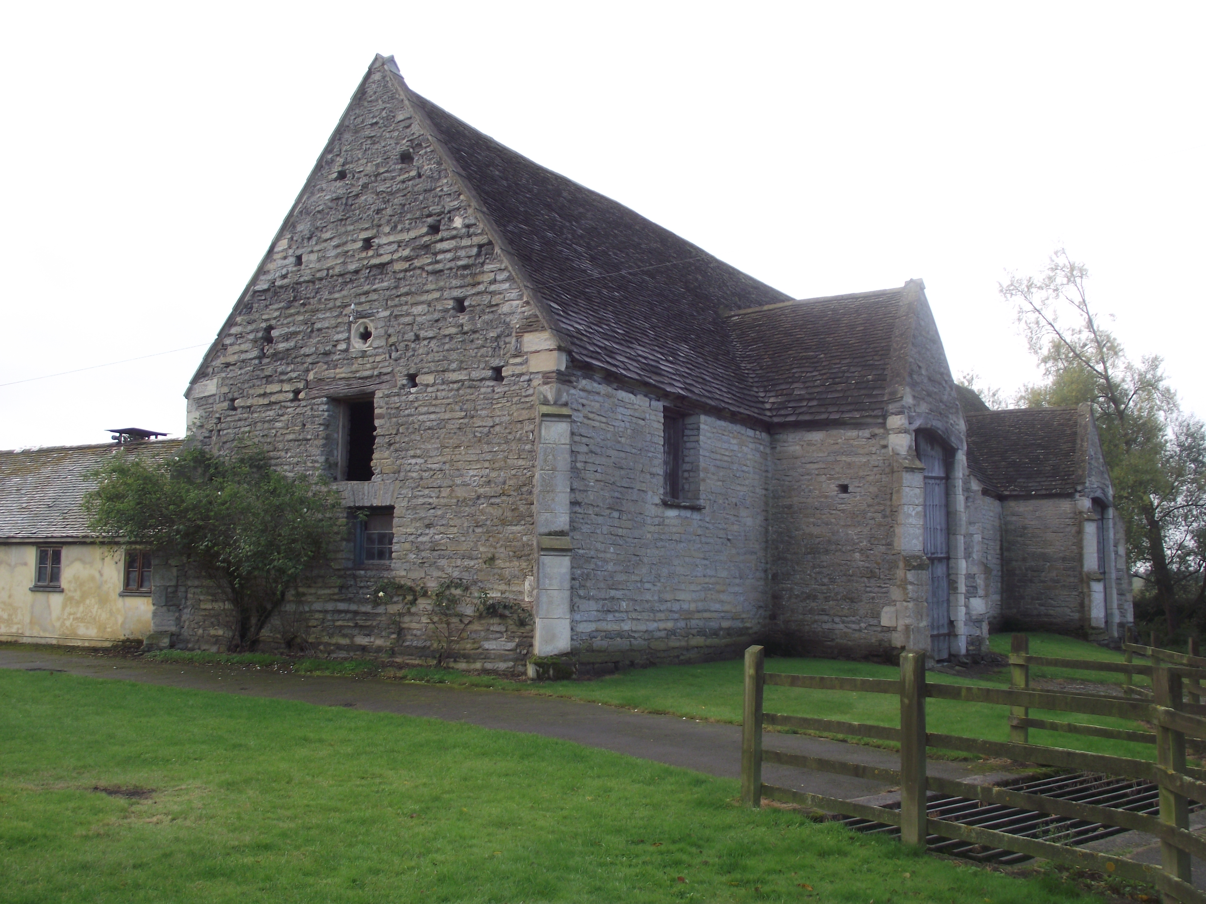
Ashleworth Tithe Barn
Ashleworth Tithe Barn is a large 15th-century tithe barn located at Ashleworth, Gloucestershire, England, standing close to the River Severn. It is a Grade...

South Wales Gas Pipeline
The South Wales Gas Pipeline (also known as the Milford Haven pipeline) is the UK's largest high-pressure gas pipeline. The 197-mile (317 km) pipeline...
Nearby Amenities
Located within 500m of 51.943887,-2.267039Have you been to Horsehill Covert?
Leave your review of Horsehill Covert below (or comments, questions and feedback).