Hardlands Plantation
Wood, Forest in Yorkshire Craven
England
Hardlands Plantation
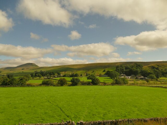
Hardlands Plantation is a serene woodland area located in the picturesque county of Yorkshire, England. Nestled amidst the rolling hills and tranquil countryside, this plantation is a haven for nature enthusiasts and those seeking respite from the hustle and bustle of urban life.
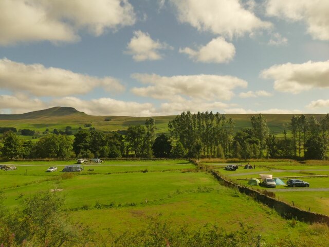
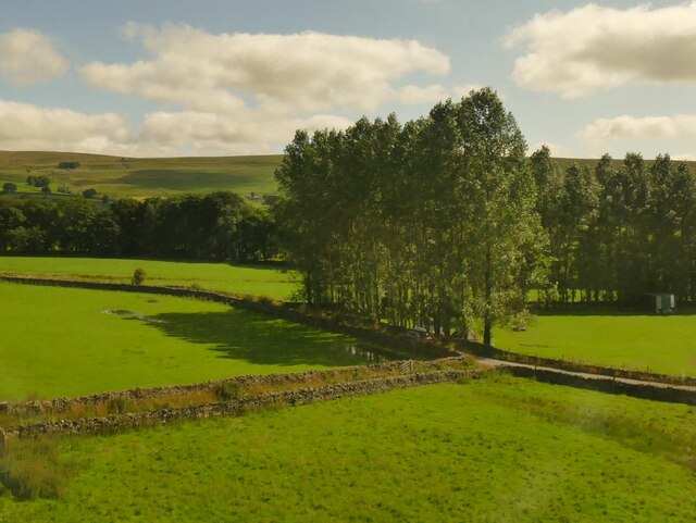
Covering a vast expanse of land, Hardlands Plantation offers visitors a unique opportunity to immerse themselves in the beauty of nature. The plantation is primarily composed of dense forests, with towering mature trees providing a lush green canopy overhead. The woodland is home to a diverse range of flora and fauna, including native species such as oak, beech, and birch trees, as well as an array of wildflowers that bloom throughout the seasons.
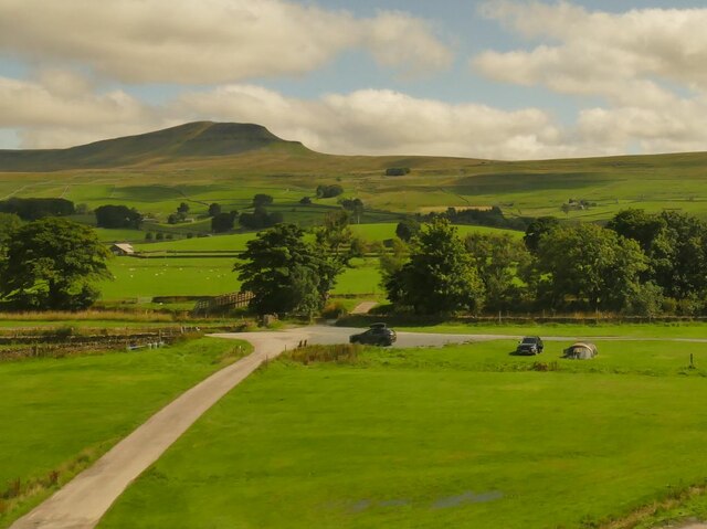
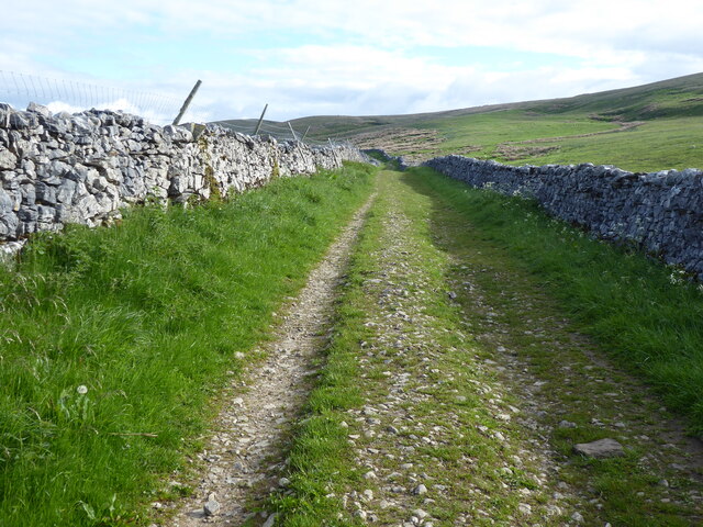
Walking trails wind their way through the plantation, allowing visitors to explore its enchanting beauty at their own pace. As they wander along the pathways, they may come across babbling brooks, charming wooden bridges, and hidden meadows teeming with wildlife. The plantation also features several picnic spots, perfect for enjoying a leisurely lunch amidst the tranquility of nature.
Hardlands Plantation is not only a paradise for nature lovers but also serves as an important habitat for various wildlife species. Birdwatchers can spot a myriad of feathered friends, including woodpeckers, owls, and buzzards. The woodland is also home to mammals such as foxes, rabbits, and deer, adding to the plantation's natural charm.
Overall, Hardlands Plantation in Yorkshire offers a captivating experience for visitors, providing a glimpse into the untamed beauty of the region's woodlands. Whether one seeks a peaceful retreat or an opportunity to connect with nature, this plantation is sure to leave a lasting impression.
If you have any feedback on the listing, please let us know in the comments section below.
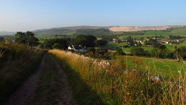
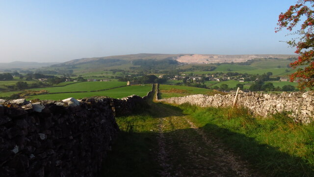
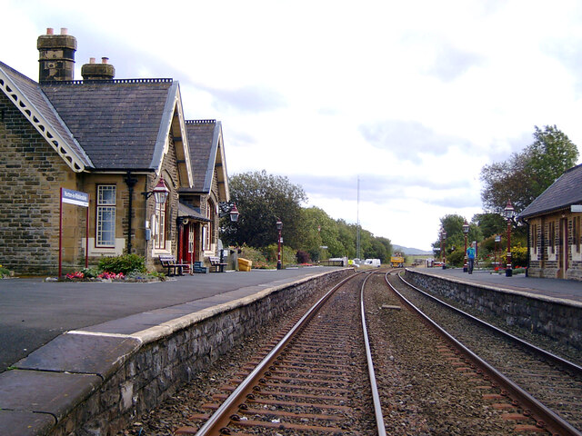
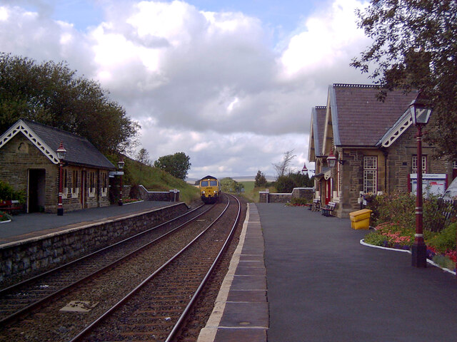
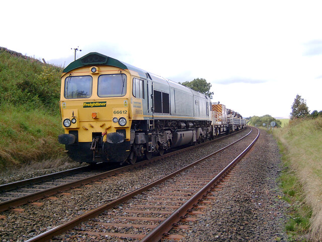
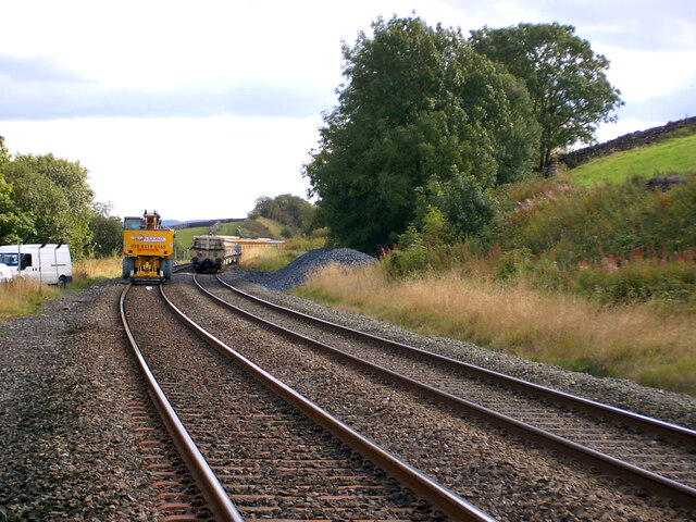
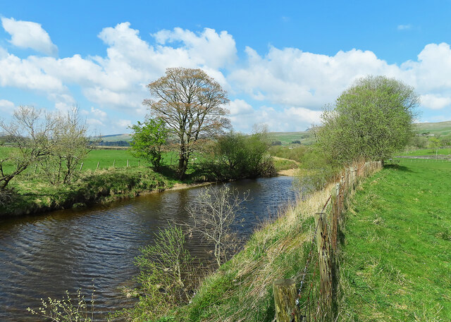
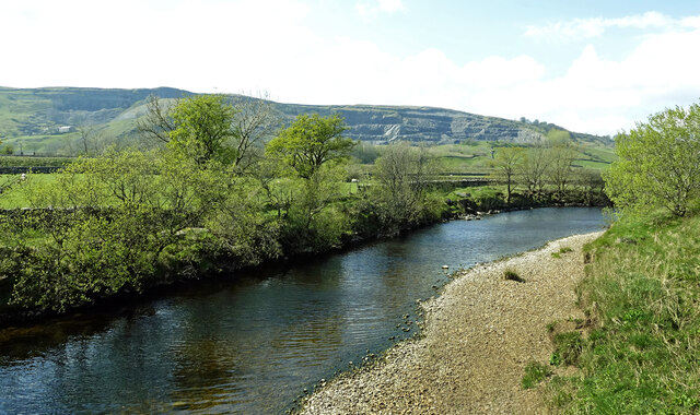
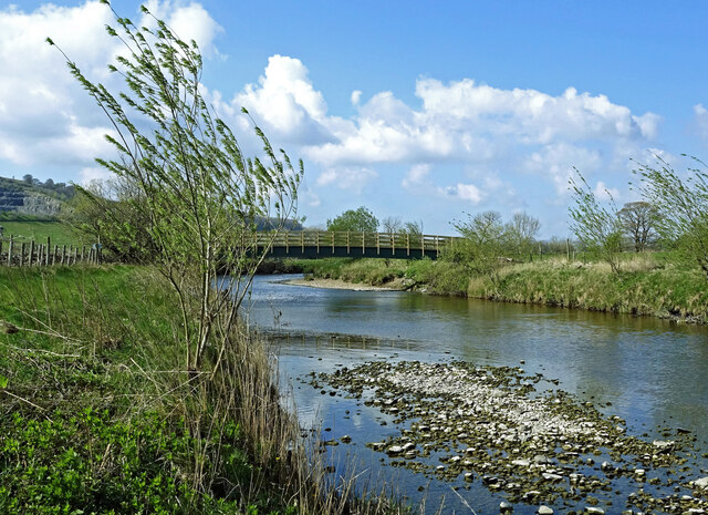
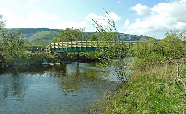
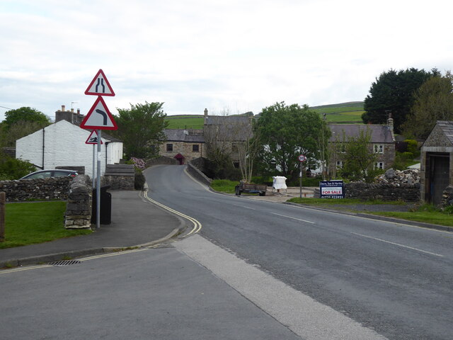
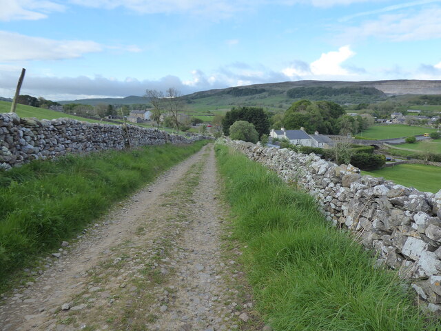
Hardlands Plantation Images
Images are sourced within 2km of 54.142104/-2.2836873 or Grid Reference SD8171. Thanks to Geograph Open Source API. All images are credited.

Hardlands Plantation is located at Grid Ref: SD8171 (Lat: 54.142104, Lng: -2.2836873)
Division: West Riding
Administrative County: North Yorkshire
District: Craven
Police Authority: North Yorkshire
What 3 Words
///sweetened.commoners.cornering. Near Settle, North Yorkshire
Nearby Locations
Related Wikis

Brackenbottom
Brackenbottom is a village in Ribblesdale, North Yorkshire, England. == External links == Media related to Brackenbottom at Wikimedia Commons

Ribblesdale
Ribblesdale is one of the Yorkshire Dales in England. It is the dale or upper valley of the River Ribble in North Yorkshire. Towns and villages in Ribblesdale...
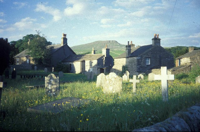
Horton in Ribblesdale
Horton in Ribblesdale is a small village and civil parish in the Craven district of North Yorkshire, England. It is situated in Ribblesdale on the Settle...
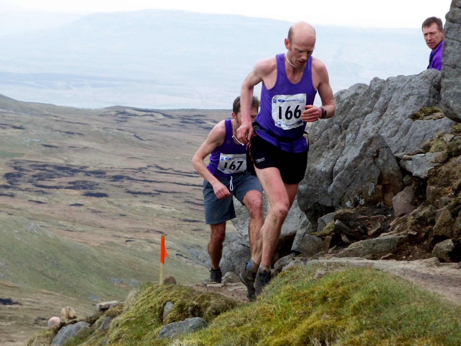
Three Peaks Race
The Three Peaks Race is a fell race held annually on the last weekend in April, starting and finishing in Horton in Ribblesdale. The course traverses the...
Nearby Amenities
Located within 500m of 54.142104,-2.2836873Have you been to Hardlands Plantation?
Leave your review of Hardlands Plantation below (or comments, questions and feedback).