Garrick Wood

Wood, Forest in Wiltshire

England

Garrick Wood

West Kington Village Sign Sign for the village of West Kington, on Drifton Hill at the western end of the village.
West Kington Village Sign Credit: Kevin Pearson

Garrick Wood is a picturesque forest located in Wiltshire, England. Covering an area of approximately 40 hectares, this woodland is a popular destination for nature enthusiasts, hikers, and wildlife lovers. The wood is known for its diverse range of flora and fauna, making it an ideal habitat for various species.

One of the striking features of Garrick Wood is its ancient woodland status, indicating that it has been continuously wooded since at least 1600. This brings a sense of history and natural heritage to the area, with some of the trees estimated to be over 400 years old. The wood is predominantly made up of oak, ash, and beech trees, which provide a dense canopy, creating a serene and calming atmosphere.

Visitors to Garrick Wood can explore a network of well-maintained footpaths and trails. These paths wind through the woodland, meandering past tranquil streams and enchanting clearings. The wood also boasts a variety of flora, including bluebells, primroses, and wild garlic, which create a vibrant display during the spring months.

The forest is home to a diverse range of wildlife, including deer, foxes, badgers, and a plethora of bird species. Nature enthusiasts can often spot woodpeckers, owls, and various songbirds nestled within the branches of the ancient trees.

With its natural beauty and rich biodiversity, Garrick Wood offers a tranquil retreat for those seeking solace in nature. Whether it's a leisurely stroll, a birdwatching expedition, or simply enjoying the peaceful surroundings, this forest is a haven for anyone looking to connect with the great outdoors.

If you have any feedback on the listing, please let us know in the comments section below.
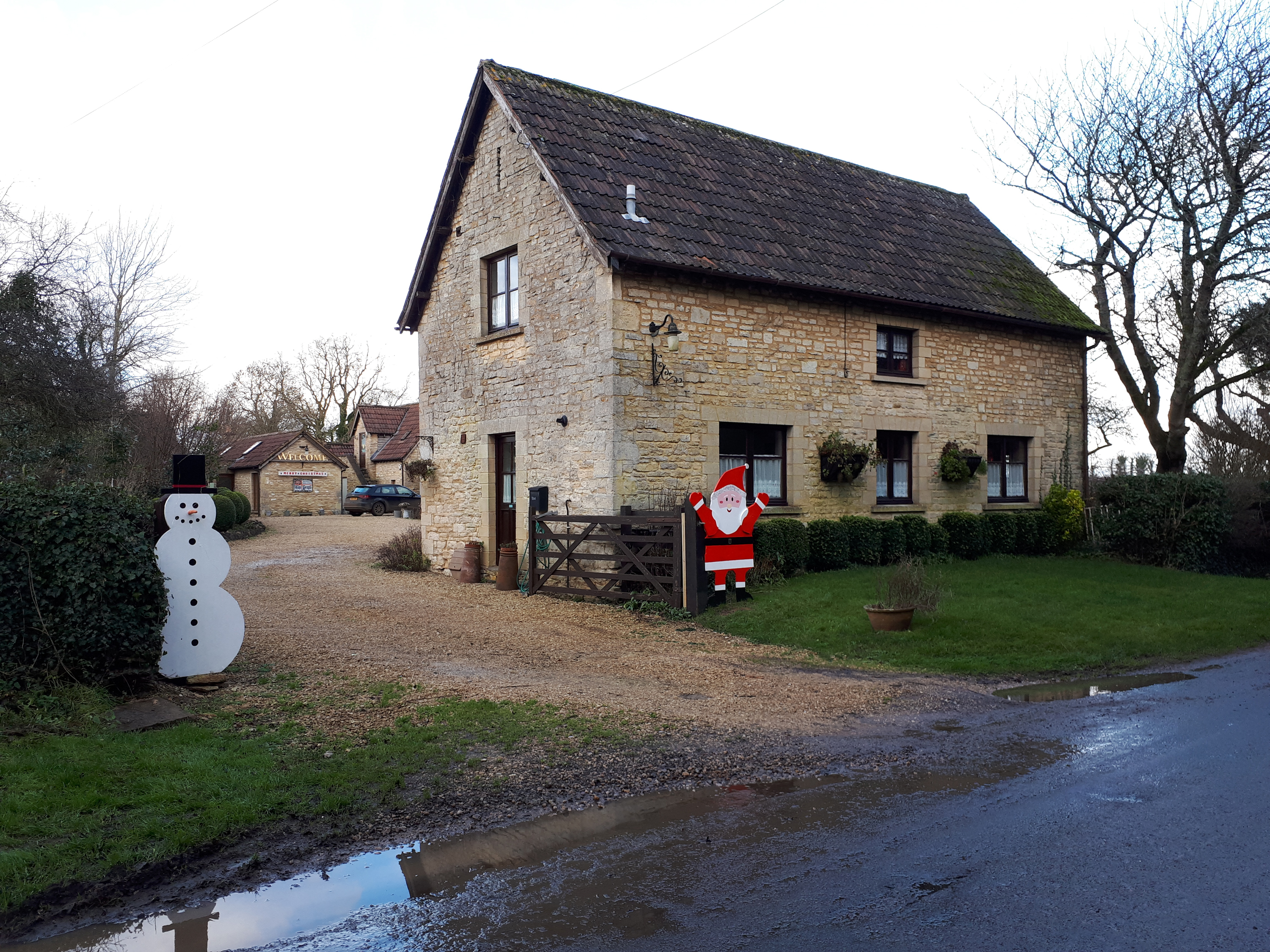
Garrick Wood Images

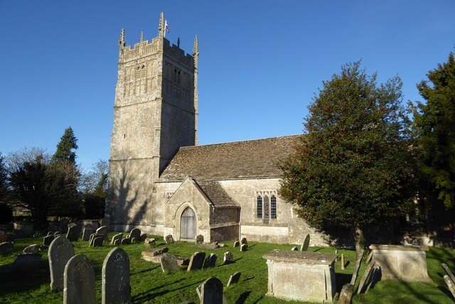
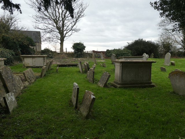
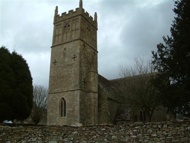
Images are sourced within 2km of 51.500758/-2.267003 or Grid Reference ST8178. Thanks to Geograph Open Source API. All images are credited.

West Kington Village Sign Sign for the village of West Kington, on Drifton Hill at the western end of the village.
West Kington Village Sign
Sign for the village of West Kington, on Drifton Hill at the western end of the village.
Drifton Hill, West Kington The bottom of Drifton Hill in West Kington, where it runs alongside the Broadmead Brook.
The cottages along Drifton Hill were one of the settings for the video for Safety Dance by Men Without Hats.
Drifton Hill, West Kington
The bottom of Drifton Hill in West Kington, where it runs alongside the Broadmead Brook. The cottages along Drifton Hill were one of the settings for the video for Safety Dance by Men Without Hats.
Junction of Drifton Hill in West Kington The junction at the top of Drifton Hill in West Kington, looking east down Wood Lane, with Smith Street straight ahead.
Junction of Drifton Hill in West Kington
The junction at the top of Drifton Hill in West Kington, looking east down Wood Lane, with Smith Street straight ahead.
Wood Lane, West Kington Looking down Wood Lane in West Kington, where it crosses the Broadmead Brook.  The lane leading to West Kington Wick is on the right.
Wood Lane, West Kington
Looking down Wood Lane in West Kington, where it crosses the Broadmead Brook. The lane leading to West Kington Wick is on the right.
Crossroads on the Fosse Way at West Kington Wick The crossroads at West Kington Wick on the Fosseway, looking north west back towards the village.
Crossroads on the Fosse Way at West Kington Wick
The crossroads at West Kington Wick on the Fosseway, looking north west back towards the village.
Ford on the Broadmead Brook  This ford and clapper bridge are found on the Broadmead Brook near Nettleton.
Ford on the Broadmead Brook
This ford and clapper bridge are found on the Broadmead Brook near Nettleton.
Burton church St Mary's church in Burton dates from the 13th century and is Grade I listed, see: <span class="nowrap"><a title="https://historicengland.org.uk/listing/the-list/list-entry/1022949?section=official-list-entry" rel="nofollow ugc noopener" href="https://historicengland.org.uk/listing/the-list/list-entry/1022949?section=official-list-entry">Link</a><img style="margin-left:2px;" alt="External link" title="External link - shift click to open in new window" src="https://s1.geograph.org.uk/img/external.png" width="10" height="10"/></span>
Burton church
St Mary's church in Burton dates from the 13th century and is Grade I listed, see: LinkExternal link
St Mary, West Kington: January 2024
St Mary the Virgin Church of Burton & Nettleton
St Mary the Virgin: Churchyard of Burton & Nettleton (1)
St Mary the Virgin: Churchyard of Burton & Nettleton (2)
St Mary the Virgin: Churchyard of Burton & Nettleton (3)
St Mary the Virgin: Churchyard of Burton & Nettleton (4)
St Mary the Virgin: Churchyard of Burton & Nettleton (5)
Farmland south of St Mary's Church
Drifton Hill Looking down Drifton Hill into West Kington.
Drifton Hill
Looking down Drifton Hill into West Kington.
West Kington
West Kington
Broadmead Brook Bridge West Kington is a small Cotswold village strung along the steep sided valley of this small tributary of the River Avon. Its 19th C church is situated on higher ground behind the cottages in the picture.
Broadmead Brook Bridge
West Kington is a small Cotswold village strung along the steep sided valley of this small tributary of the River Avon. Its 19th C church is situated on higher ground behind the cottages in the picture.
Show me another place!

Garrick Wood is located at Grid Ref: ST8178 (Lat: 51.500758, Lng: -2.267003)

Unitary Authority: Wiltshire

Police Authority: Wiltshire

What 3 Words

///handed.egging.unlocking. Near Nettleton, Wiltshire

Related Wikis

Nettleton, Wiltshire

Nettleton is a village and civil parish about 6.5 miles (10.5 km) northwest of Chippenham in Wiltshire, England. The parish includes the villages of Burton...

West Kington

West Kington is a village in the civil parish of Nettleton, in Wiltshire, England. The village lies in the steeply wooded valley of the Broadmead Brook...

Fosse Farmhouse

Fosse Farmhouse is an 18th-century farmhouse in the English Cotswolds near the Fosse Way and Castle Combe. It is now used to provide hospitality and accommodation...

Burton, Nettleton

Burton is a small village in the Cotswolds Area of Outstanding Natural Beauty in Wiltshire, England. Kelly's 1915 Directory of Wiltshire identifies Burton...

Nearby Amenities

Located within 500m of 51.500758,-2.267003
Nettleton
Place: village
Wikidata: Q3297030
Wikipedia: en:Nettleton, Wiltshire
Lat/Long: 51.4997693/-2.2606639
Bench
Ele: 116.4444580
Lat/Long: 51.5040422/-2.2627558
Barrier: stile
Lat/Long: 51.4976221/-2.2658459
Barrier: stile
Lat/Long: 51.4984887/-2.2622517
Barrier: stile
Lat/Long: 51.5005484/-2.2629342
Barrier: stile
Lat/Long: 51.5010863/-2.2607265
Post Box
Operator: Royal Mail
Post Box Design: type_n
Post Box Type: lamp
Lat/Long: 51.5011444/-2.260619
Power: pole
Lat/Long: 51.5008633/-2.2625177
Power: pole
Lat/Long: 51.5000267/-2.2620289
Power: pole
Lat/Long: 51.4992127/-2.2615409
Power: pole
Lat/Long: 51.4984249/-2.2610972
Power: pole
Lat/Long: 51.5017193/-2.2630291
Power: pole
Lat/Long: 51.5023762/-2.2622445
Power: pole
Lat/Long: 51.5032033/-2.2622889
Waste Basket
Lat/Long: 51.5011273/-2.2605996
Public Bookcase
Booth: K6
Colour: red
Disused Amenity: telephone
Man Made: telephone_box
Public Bookcase Type: phone_box
Lat/Long: 51.5012882/-2.2607625
Power: pole
Lat/Long: 51.5040002/-2.2624308
Power: pole
Lat/Long: 51.5042837/-2.2629208
Waste Basket
Lat/Long: 51.504054/-2.2627828
Waste Basket
Lat/Long: 51.5046824/-2.2640404
Advertising: board
Support: pole
Lat/Long: 51.5047033/-2.2640577
Direction: 160
Generator Method: photovoltaic
Generator Output Electricity: yes
Generator Source: solar
Generator Type: solar_photovoltaic_panel
Location: roof
Power: generator
Lat/Long: 51.5033303/-2.2633042
The data included in this document is from www.openstreetmap.org. The data is made available under ODbL.

Have you been to Garrick Wood?

Leave your review of Garrick Wood below (or comments, questions and feedback).