Pit Covert

Wood, Forest in Northumberland

England

Pit Covert

A69 heading west below Holm Bank The view is from a lay-by on the south side of the road just west of  a bridge apparently named as Little Bridge.
A69 heading west below Holm Bank Credit: Trevor Littlewood

Pit Covert is a picturesque woodland located in the county of Northumberland, England. Situated in the heart of the Northumberland National Park, this enchanting forest covers an area of approximately 100 acres. It is known for its stunning natural beauty and diverse ecosystem.

The woodland is predominantly composed of various species of deciduous and coniferous trees, such as oak, birch, and pine. The dense canopy created by these tall trees provides shelter and habitat for a wide range of wildlife, including birds, squirrels, and deer. The forest floor is adorned with a rich carpet of moss, ferns, and wildflowers, adding to its ethereal charm.

Pit Covert is crisscrossed by a network of walking trails, allowing visitors to explore its hidden corners and discover its hidden treasures. These trails cater to different levels of difficulty, making it accessible for both casual strollers and avid hikers. Along the way, visitors may come across ancient stone ruins and remnants of mining activity, reminding them of the area's rich history.

The woodland is a popular destination for nature enthusiasts, photographers, and those seeking tranquility away from the bustle of city life. It offers a peaceful and serene environment, providing an escape from the stresses of everyday life. Whether it be for a leisurely walk, a picnic, or simply to immerse oneself in the beauty of nature, Pit Covert is a haven for those seeking solace in the Northumberland countryside.

If you have any feedback on the listing, please let us know in the comments section below.

Pit Covert Images

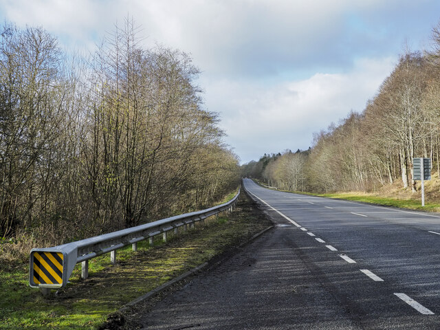
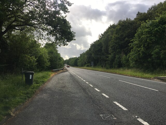
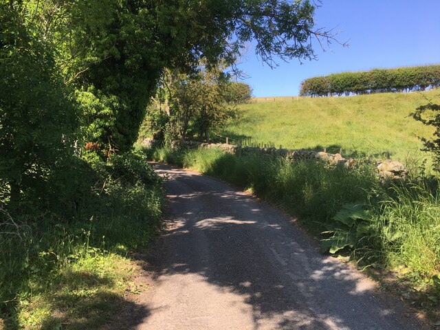
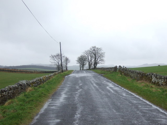
Images are sourced within 2km of 54.990717/-2.2895683 or Grid Reference NY8166. Thanks to Geograph Open Source API. All images are credited.

A69 heading west below Holm Bank The view is from a lay-by on the south side of the road just west of  a bridge apparently named as Little Bridge.
A69 heading west below Holm Bank
The view is from a lay-by on the south side of the road just west of a bridge apparently named as Little Bridge.
Lay-by on the A69 near Holm Bank
West Mill Hills Cottage
Minor road near Middle Lipwood
Road junction near Chesterwood
Field near Chesterfield Farm The woodland to the right occupies the valley of the Honeycrook Burn. Within the wood can be found the remains of the Langley Barony Lead Mine, and, further downstream, Tony's Patch Nature Reserve.
Field near Chesterfield Farm
The woodland to the right occupies the valley of the Honeycrook Burn. Within the wood can be found the remains of the Langley Barony Lead Mine, and, further downstream, Tony's Patch Nature Reserve.
Industrial relic? At Chestewood . It is not clear whether this a fireplace of a long-demolished domestic building, or some relic of former industry in the locality.
Industrial relic?
At Chestewood . It is not clear whether this a fireplace of a long-demolished domestic building, or some relic of former industry in the locality.
Barn at Chesterwood For speculation about the stone structure in the middle distance, see <a href="https://www.geograph.org.uk/photo/7669337">NY8365 : Industrial relic?</a>.
Barn at Chesterwood
For speculation about the stone structure in the middle distance, see NY8365 : Industrial relic?.
Chesterwood Hamlet near Haydon Bridge including relics of bastles.
Chesterwood
Hamlet near Haydon Bridge including relics of bastles.
Memorial bench near Chesterfield Farm Haydon Bridge is extraordinarily well provided with public benches - we encountered no fewer than five on a five-kilometre circuit. This is a particular fine example with a sturdy wooden bench on a solid concrete base. It commemorates Kenneth Smith (1932-2022) who used to live in the vicinity. Chesterfield Farm <a href="https://www.geograph.org.uk/gridref/NY8366">NY8366</a> can be seen on the skyline amongst the trees.
Memorial bench near Chesterfield Farm
Haydon Bridge is extraordinarily well provided with public benches - we encountered no fewer than five on a five-kilometre circuit. This is a particular fine example with a sturdy wooden bench on a solid concrete base. It commemorates Kenneth Smith (1932-2022) who used to live in the vicinity. Chesterfield Farm NY8366 can be seen on the skyline amongst the trees.
Chesterfield Farm
Chesterfield Farm
Field near Chesterfield Farm The valley of the Honeycrook Burn lies in the middle distance.
Field near Chesterfield Farm
The valley of the Honeycrook Burn lies in the middle distance.
Bastle house at Chesterwood (3) In August 2010, renovation of this old bastle house was in progress - see <a href="https://www.geograph.org.uk/photo/2021108">NY8365 : Bastle house at Chesterwood</a> and <a href="https://www.geograph.org.uk/photo/2021119">NY8365 : Bastle house at Chesterwood (2)</a>.

According to Ramm, McDowall and Mercer in "Shielings and Bastles" (1970) this "small two-storey building measures 27 ft by 22 ft (approx) externally. The lower storey has walls about 3½ ft thick, the E end being built on a base course of large unshaped boulders. The upper storey has walls only 1½ ft thick. The W gable wall is carried up to a parapet finished with specially shaped stones and has a chimney."

See also <a href="https://www.geograph.org.uk/photo/2994134">NY8265 : Bastle house no.2 at Chesterwood</a>, <a href="https://www.geograph.org.uk/photo/2994154">NY8265 : Bastle house no.3 at Chesterwood</a>, <a href="https://www.geograph.org.uk/photo/2021139">NY8265 : Cottages at Chesterwood</a> and <a href="https://www.geograph.org.uk/photo/2049333">NY8265 : Cottages at Chesterwood (2)</a>.
Bastle house at Chesterwood (3)
In August 2010, renovation of this old bastle house was in progress - see NY8365 : Bastle house at Chesterwood and NY8365 : Bastle house at Chesterwood (2). According to Ramm, McDowall and Mercer in "Shielings and Bastles" (1970) this "small two-storey building measures 27 ft by 22 ft (approx) externally. The lower storey has walls about 3½ ft thick, the E end being built on a base course of large unshaped boulders. The upper storey has walls only 1½ ft thick. The W gable wall is carried up to a parapet finished with specially shaped stones and has a chimney." See also NY8265 : Bastle house no.2 at Chesterwood, NY8265 : Bastle house no.3 at Chesterwood, NY8265 : Cottages at Chesterwood and NY8265 : Cottages at Chesterwood (2).
Bastle house no.2 at Chesterwood According to Ramm, McDowall and Mercer in "Shielings and Bastles" (1970) "this two-storey building measures 22 ft by 29 ft (approx) externally, with walls averaging nearly 3 ft thick. The W end wall is slightly thicker (3½ ft) and belongs to an earlier building which ran westwards and has been replaced by a house of the 19th century. The building has a doorway to the lower storey on the S side and on the same side an outside stone stairway leading to the upper storey."

I am grateful to Dave Clark for the info that this building was once called "The Golf House". The owner of the bastle told me that in the early part of the 20th century it was used as a clubhouse by those playing golf on a nearby course (of which, no trace now remains).

See also <a href="https://www.geograph.org.uk/photo/2994120">NY8365 : Bastle house at Chesterwood (3)</a>, <a href="https://www.geograph.org.uk/photo/2994154">NY8265 : Bastle house no.3 at Chesterwood</a>, <a href="https://www.geograph.org.uk/photo/2021139">NY8265 : Cottages at Chesterwood</a> and <a href="https://www.geograph.org.uk/photo/2049333">NY8265 : Cottages at Chesterwood (2)</a>.
Bastle house no.2 at Chesterwood
According to Ramm, McDowall and Mercer in "Shielings and Bastles" (1970) "this two-storey building measures 22 ft by 29 ft (approx) externally, with walls averaging nearly 3 ft thick. The W end wall is slightly thicker (3½ ft) and belongs to an earlier building which ran westwards and has been replaced by a house of the 19th century. The building has a doorway to the lower storey on the S side and on the same side an outside stone stairway leading to the upper storey." I am grateful to Dave Clark for the info that this building was once called "The Golf House". The owner of the bastle told me that in the early part of the 20th century it was used as a clubhouse by those playing golf on a nearby course (of which, no trace now remains). See also NY8365 : Bastle house at Chesterwood (3), NY8265 : Bastle house no.3 at Chesterwood, NY8265 : Cottages at Chesterwood and NY8265 : Cottages at Chesterwood (2).
Bastle house no.3 at Chesterwood According to Ramm, McDowall and Mercer in "Shielings and Bastles" (1970) "this long building now of one lofty storey only is used as a farm store. The walling is of large random blocks, roughly coursed and with small packing pieces between them {see <a href="https://www.geograph.org.uk/photo/2994160">NY8265 : Bastle house no.3 at Chesterwood - detail of wall</a>}. The building is divided into two by a cross-wall which originally formed the E end wall of the W part; the E part was built later. The walls vary in thickness: to the N 3 ft, to the south 3½ ft, to the E 3¾ ft. There are doorways, now blocked, 6 ft from each end of the S front and a small vent in the W part. Small offsets in the walls, now some 5 ft above floor level, presumably carried the timbers for an upper floor which has been completely removed, and the walls have been reduced in height."

See also <a href="https://www.geograph.org.uk/photo/2994120">NY8365 : Bastle house at Chesterwood (3)</a>, <a href="https://www.geograph.org.uk/photo/2994134">NY8265 : Bastle house no.2 at Chesterwood</a>, <a href="https://www.geograph.org.uk/photo/2021139">NY8265 : Cottages at Chesterwood</a> and <a href="https://www.geograph.org.uk/photo/2049333">NY8265 : Cottages at Chesterwood (2)</a>.
Bastle house no.3 at Chesterwood
According to Ramm, McDowall and Mercer in "Shielings and Bastles" (1970) "this long building now of one lofty storey only is used as a farm store. The walling is of large random blocks, roughly coursed and with small packing pieces between them {see NY8265 : Bastle house no.3 at Chesterwood - detail of wall}. The building is divided into two by a cross-wall which originally formed the E end wall of the W part; the E part was built later. The walls vary in thickness: to the N 3 ft, to the south 3½ ft, to the E 3¾ ft. There are doorways, now blocked, 6 ft from each end of the S front and a small vent in the W part. Small offsets in the walls, now some 5 ft above floor level, presumably carried the timbers for an upper floor which has been completely removed, and the walls have been reduced in height." See also NY8365 : Bastle house at Chesterwood (3), NY8265 : Bastle house no.2 at Chesterwood, NY8265 : Cottages at Chesterwood and NY8265 : Cottages at Chesterwood (2).
Bastle house no.3 at Chesterwood - detail of wall See <a href="https://www.geograph.org.uk/photo/2994154">NY8265 : Bastle house no.3 at Chesterwood</a>.
Bastle house no.3 at Chesterwood - detail of wall
Grazing, Grindon Common
Roman Road running west, Grindon Common
Show me another place!

Pit Covert is located at Grid Ref: NY8166 (Lat: 54.990717, Lng: -2.2895683)

Unitary Authority: Northumberland

Police Authority: Northumbria

What 3 Words

///sharpened.jungle.cabbage. Near Haydon Bridge, Northumberland

Nearby Locations

Pit Covert Whinnetley Moss

Related Wikis

Stanegate

The Stanegate (meaning "stone road" in Northumbrian dialect) was an important Roman road and early frontier built in what is now northern England. It linked...

Chesterwood

Chesterwood is a hamlet in Northumberland, in England. It is situated a short distance to the north-west of Haydon Bridge on the South Tyne, west of Hexham...

River Allen, Northumberland

The River Allen is a river in the English county of Northumberland. The river has its sources in the hills of the Northern Pennines, and is formed by the...

A69 road

The A69 is a major northern trunk road in England, running east–west across the Pennines, through the counties of Tyne and Wear, Northumberland and Cumbria...

Nearby Amenities

Located within 500m of 54.990717,-2.2895683
Design: three-level
Power: tower
Lat/Long: 54.9874092/-2.290057
Design: three-level
Power: tower
Lat/Long: 54.9876373/-2.2852356
Barrier: stile
Lat/Long: 54.9918037/-2.2836345
The data included in this document is from www.openstreetmap.org. The data is made available under ODbL.

Have you been to Pit Covert?

Leave your review of Pit Covert below (or comments, questions and feedback).