Cransford

Settlement in Suffolk East Suffolk

England

Cransford

Field  edge  track  and  footpath  toward  Low  Road Gold Medal Wood ahead right over stubble
Field edge track and footpath toward Low Road Credit: Martin Dawes

Cransford is a charming village located in the county of Suffolk, England. Situated about 20 miles northeast of Ipswich, it is nestled in the picturesque countryside of the Suffolk Coastal District. With a population of around 300 residents, Cransford offers a tranquil and idyllic setting for those seeking a peaceful retreat.

The village is known for its rich history, dating back to medieval times when it was mentioned in the Domesday Book of 1086. Its name derives from the Old English words "cran" and "ford," referring to the cranberry bushes and the ford crossing the River Alde that once passed through the area.

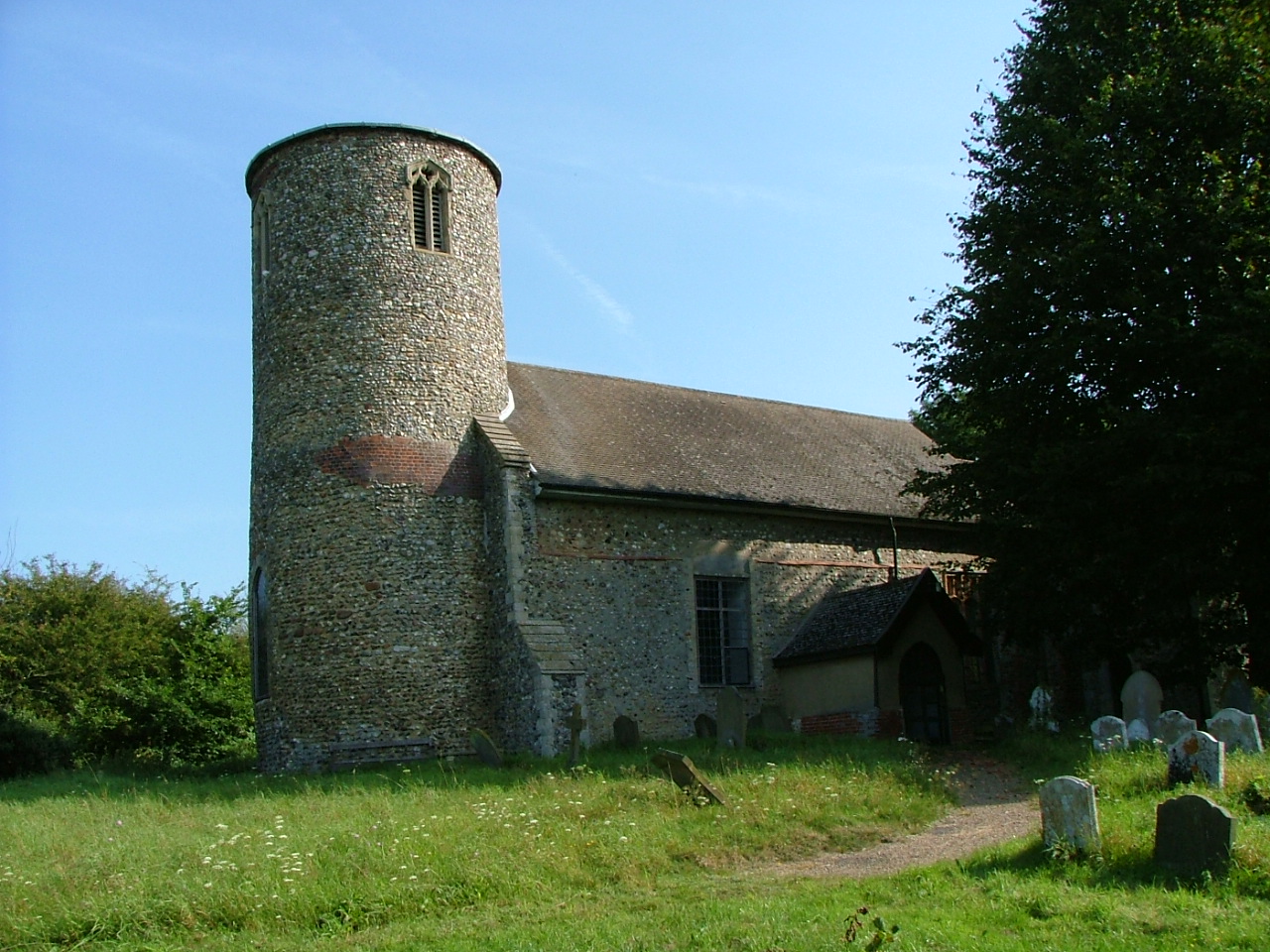
Cransford boasts a small but tight-knit community, with a strong sense of community spirit. The village is centered around a beautiful 14th-century church, St. Peter's Church, which stands as a testament to its historical significance. The church's architecture and stained glass windows are a sight to behold for history enthusiasts.

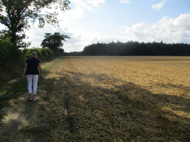
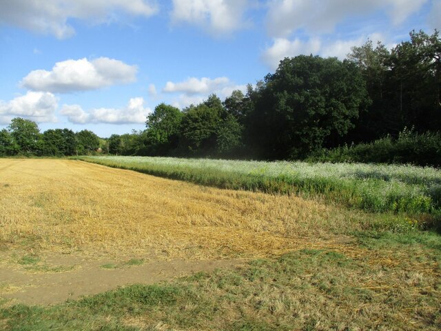
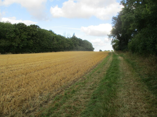
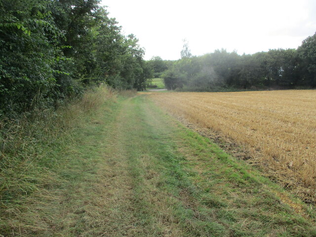
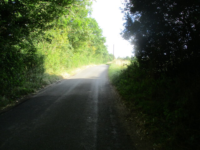
The village is surrounded by picturesque countryside, making it an ideal destination for nature lovers. Rolling hills, meandering rivers, and lush green fields provide ample opportunities for walking, cycling, and exploring the great outdoors. The nearby Cransford Wood is a popular spot for a peaceful stroll, offering a diverse array of flora and fauna.

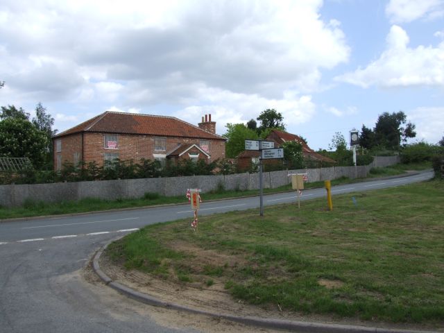
While Cransford is primarily a residential area, there are a few amenities within close proximity. The village boasts a small pub, The Cransford Crown, which serves as a social hub for locals and visitors alike. Additionally, the nearby town of Framlingham provides more extensive amenities, including shops, restaurants, and schools.

Overall, Cransford offers a peaceful and historical haven for those seeking a slower pace of life and a close-knit community in the heart of Suffolk's beautiful countryside.

If you have any feedback on the listing, please let us know in the comments section below.

Cransford Images

Images are sourced within 2km of 52.230075/1.398298 or Grid Reference TM3264. Thanks to Geograph Open Source API. All images are credited.

Field  edge  track  and  footpath  toward  Low  Road Gold Medal Wood ahead right over stubble
Field edge track and footpath toward Low Road
Gold Medal Wood ahead right over stubble
Winter  bird  cover  at  end  of  stubble  field Hall Farm behind trees left of centre
Winter bird cover at end of stubble field
Hall Farm behind trees left of centre
Grass  field  edge  track  and  footpath  in  stubble  field Gold Medal Wood to the left
Grass field edge track and footpath in stubble field
Gold Medal Wood to the left
Grassed  field  track  to  Low  Road Stubble field cleared
Grassed field track to Low Road
Stubble field cleared
From  woodland  shade  to  bright  sunlight Walking along Low Road toward Great Glemham
From woodland shade to bright sunlight
Walking along Low Road toward Great Glemham
The  B1119  east  toward  Rendham Arable fields and woods, the trees on the skyline right go by the name of, Kilderbee's Grove
The B1119 east toward Rendham
Arable fields and woods, the trees on the skyline right go by the name of, Kilderbee's Grove
View south from the B1119
View south-east from the B1119
View into the Gull valley west of Sweffling
Bruisyard Road, Cransford
Junction of the B1119 with the lane to Parham
Track from the B1119 towards Sweffling Hall
Minor  roads  crossroad  on  B1119  toward  Framlingham Left for Parham, right for Cransford
Minor roads crossroad on B1119 toward Framlingham
Left for Parham, right for Cransford
Junction  of  minor  road  from  Parham  with  B1119
Junction of minor road from Parham with B1119
Cransford  Village  Hall
Cransford Village Hall
Church of St. Peter, Bruisyard <span class="nowrap"><a title="https://historicengland.org.uk/listing/the-list/list-entry/1377166?section=official-list-entry" rel="nofollow ugc noopener" href="https://historicengland.org.uk/listing/the-list/list-entry/1377166?section=official-list-entry">Link</a><img style="margin-left:2px;" alt="External link" title="External link - shift click to open in new window" src="https://s1.geograph.org.uk/img/external.png" width="10" height="10"/></span>
Church of St. Peter, Bruisyard
Church of St. Peter, Cransford <span class="nowrap"><a title="https://historicengland.org.uk/listing/the-list/list-entry/1183119?section=official-list-entry" rel="nofollow ugc noopener" href="https://historicengland.org.uk/listing/the-list/list-entry/1183119?section=official-list-entry">Link</a><img style="margin-left:2px;" alt="External link" title="External link - shift click to open in new window" src="https://s1.geograph.org.uk/img/external.png" width="10" height="10"/></span>
Church of St. Peter, Cransford
Floods in the valley of the River Alde
Show me another place!

Cransford is located at Grid Ref: TM3264 (Lat: 52.230075, Lng: 1.398298)

Administrative County: Suffolk

District: East Suffolk

Police Authority: Suffolk

What 3 Words

///inspected.lightly.racing. Near Framlingham, Suffolk

Nearby Locations

Cransford Cransford

Related Wikis

Cransford

Cransford is a village and a civil parish in the East Suffolk district, in the English county of Suffolk. The civil parish had a population at the 2011...
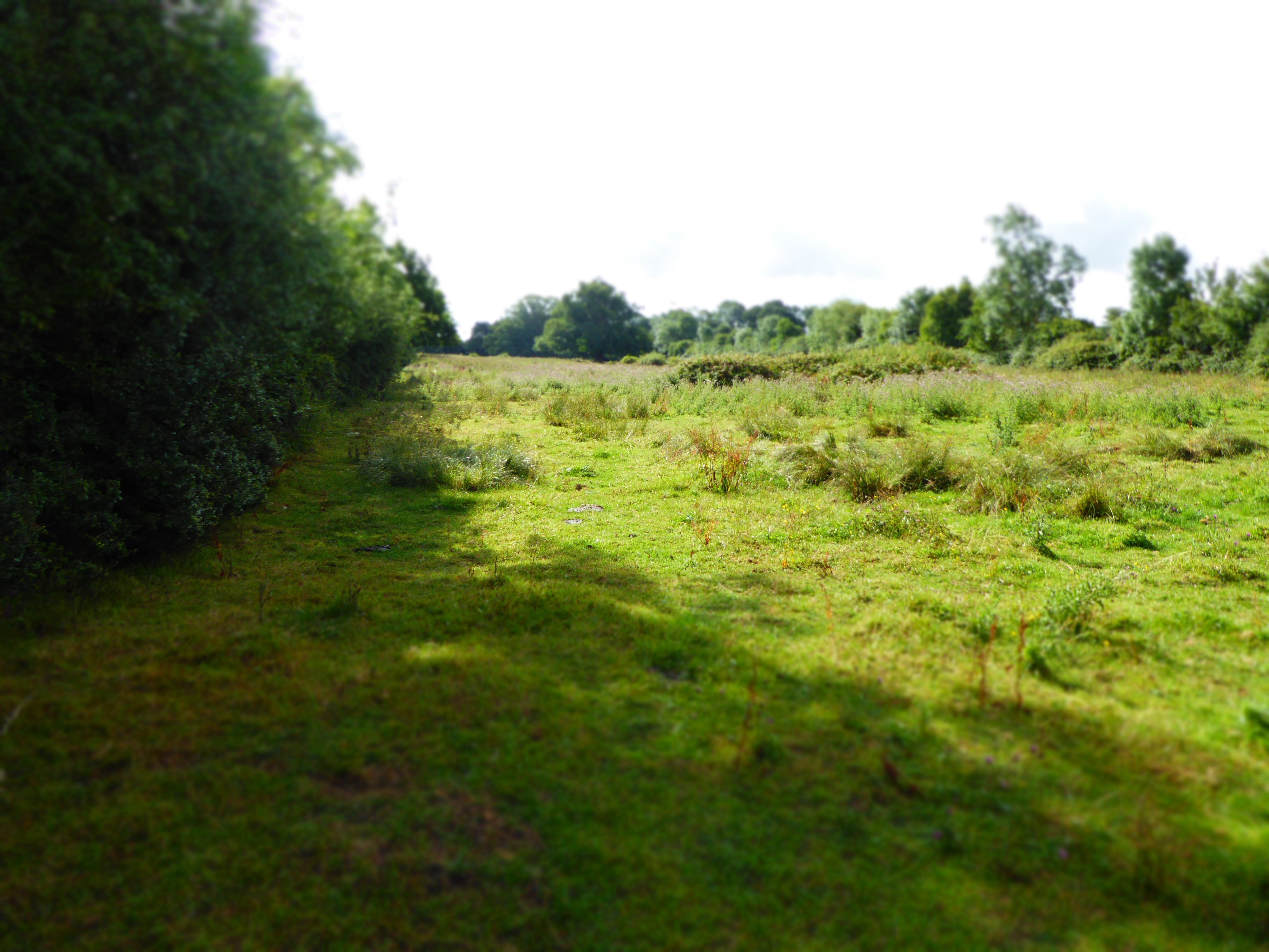
Cransford Meadow

Cransford Meadow is a 4.6-hectare (11-acre) biological Site of Special Scientific Interest south of Cransford in Suffolk.This unimproved grassland site...

Bruisyard

Bruisyard is a village in the valley of the River Alde in the county of Suffolk, England. The village had a population of around 175 at the 2011 census...

Bruisyard Abbey

The Abbey of Bruisyard was a house of Minoresses (Poor Clares) at Bruisyard in Suffolk. It was founded from Campsey Priory in Suffolk on the initiative...

Norwich Crag Formation

The Norwich Crag Formation is a stratigraphic unit of the British Pleistocene Epoch. It is the second youngest unit of the Crag Group, a sequence of four...

Sweffling

Sweffling is a village and a civil parish in the East Suffolk district, in the county of Suffolk, England. Nearby settlements include the town of Saxmundham...

Rendham

Rendham is a village and civil parish on the B1119 road, in the East Suffolk district, in the English county of Suffolk. It is near the town Saxmundham...

Hulver Street

Hulver Street, also known simply as Hulver, is a hamlet near the market town of Beccles, in the civil parish of Henstead with Hulver Street, in the East...

Nearby Amenities

Located within 500m of 52.230075,1.398298
Cransford
Place: hamlet
Wikidata: Q3147154
Wikipedia: en:Cransford
Lat/Long: 52.2303545/1.395944
Bus Stop
Village Sign
Naptan AtcoCode: 390060345
Naptan Bearing: SE
Naptan BusStopType: CUS
Naptan CommonName: Village Sign
Naptan Indicator: adj
Naptan Landmark: Village Sign
Naptan NaptanCode: sufgpgtj
Naptan Street: B116
Naptan Verified: no
Source: naptan_import
Lat/Long: 52.2301638/1.3984004
Bus Stop
Village Sign
Naptan AtcoCode: 390060346
Naptan Bearing: NW
Naptan BusStopType: CUS
Naptan CommonName: Village Sign
Naptan Indicator: opp
Naptan Landmark: Village Sign
Naptan NaptanCode: sufgpgtm
Naptan Street: B116
Naptan Verified: no
Source: naptan_import
Lat/Long: 52.2301125/1.3983086
Post Box
Ref: IP13 6270
Lat/Long: 52.2307497/1.396261
The data included in this document is from www.openstreetmap.org. The data is made available under ODbL.

Have you been to Cransford?

Leave your review of Cransford below (or comments, questions and feedback).