Anley Crag Plantation
Wood, Forest in Yorkshire Craven
England
Anley Crag Plantation

Anley Crag Plantation is a picturesque woodland located in the county of Yorkshire, England. Spanning over a vast area, the plantation is known for its dense and diverse collection of trees, making it a haven for nature enthusiasts and hikers alike.
The woodland is primarily composed of deciduous trees such as oak, beech, and birch, interspersed with coniferous trees like pine and spruce. This combination creates a unique and enchanting landscape throughout the year, with vibrant autumnal colors and a lush green canopy during the summer months.
The plantation is also home to a wide range of wildlife, including deer, foxes, and various bird species. Birdwatchers can spot common woodland birds such as robins, blue tits, and blackbirds, as well as some rarer species like the woodpecker and tawny owl. The diverse flora and fauna found in Anley Crag Plantation contribute to its designation as a Site of Special Scientific Interest (SSSI).
Visitors to the plantation can enjoy a network of well-maintained walking paths, allowing them to explore the woodland at their own pace. The trails offer breathtaking views of the surrounding countryside and lead to secluded spots where one can relax and immerse themselves in the tranquility of nature.
Anley Crag Plantation is a popular destination for outdoor activities such as picnics, photography, and nature walks. It provides a peaceful retreat away from the hustle and bustle of urban life, offering visitors a chance to connect with nature in a truly remarkable setting.
If you have any feedback on the listing, please let us know in the comments section below.
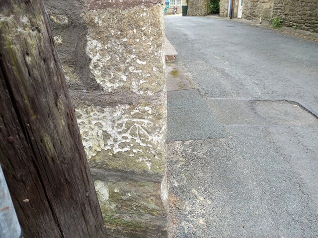
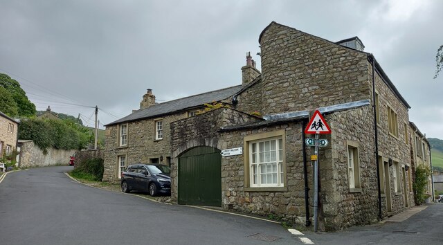
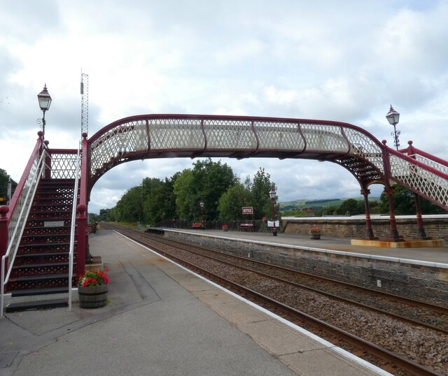
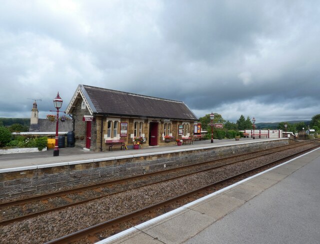
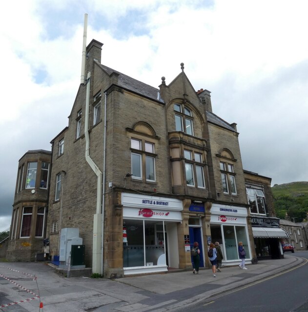
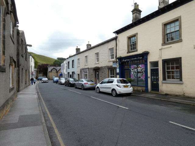
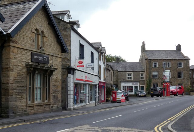
Anley Crag Plantation Images
Images are sourced within 2km of 54.052473/-2.2867111 or Grid Reference SD8161. Thanks to Geograph Open Source API. All images are credited.


Anley Crag Plantation is located at Grid Ref: SD8161 (Lat: 54.052473, Lng: -2.2867111)
Division: West Riding
Administrative County: North Yorkshire
District: Craven
Police Authority: North Yorkshire
What 3 Words
///thin.unless.violinist. Near Settle, North Yorkshire
Nearby Locations
Related Wikis

Settle Junction railway station
Settle Junction railway station was located near the town of Settle, North Yorkshire, England, immediately to south of the junction between the Midland...

Giggleswick railway station
Giggleswick is a railway station on the Bentham Line, which runs between Leeds and Morecambe via Skipton. The station, situated 41+1⁄4 miles (66 km) north...
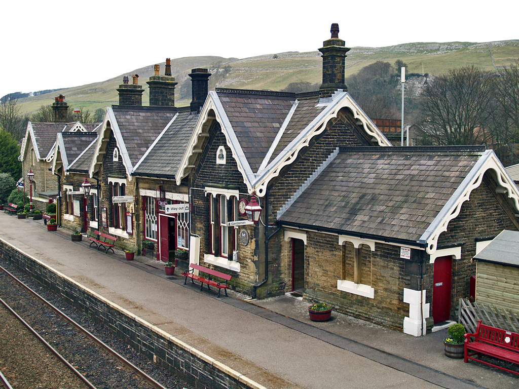
Settle railway station
Settle is a railway station on the Settle and Carlisle Line, which runs between Carlisle and Leeds via Settle. The station, situated 41 miles 37 chains...

Settle, North Yorkshire
Settle is a market town and civil parish in the Craven district of North Yorkshire, England. Historically in the West Riding of Yorkshire, the town had...

Settle Victoria Hall
Settle Victoria Hall is a Grade II listed concert hall in Kirkgate, Settle, North Yorkshire, England. It is the UK's oldest surviving music hall.Built...

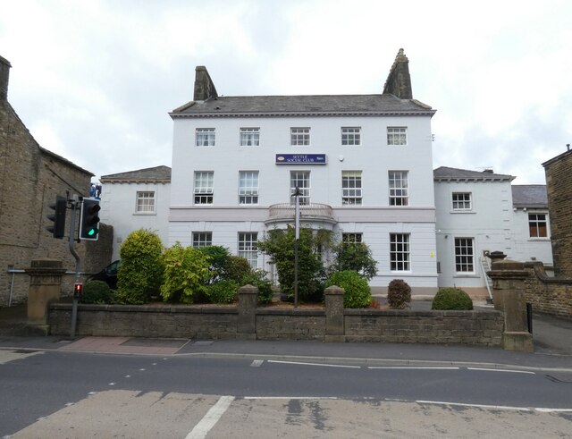
Settle Town Hall
Settle Town Hall is a municipal building in Cheapside in Settle, North Yorkshire, England. The structure, which was the meeting place of Settle Rural District...
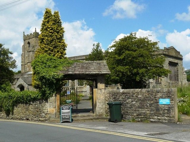
Church of St Alkelda, Giggleswick
The Church of St Alkelda, Giggleswick (historically St Alkald), is an Anglican church in the village of Giggleswick, North Yorkshire, England. St Alkelda...

Rathmell
Rathmell is a village and civil parish in the Craven district of North Yorkshire, England. The population of the civil parish in the 2011 census was 305...
Nearby Amenities
Located within 500m of 54.052473,-2.2867111Have you been to Anley Crag Plantation?
Leave your review of Anley Crag Plantation below (or comments, questions and feedback).