Cleatop Wood
Wood, Forest in Yorkshire Craven
England
Cleatop Wood
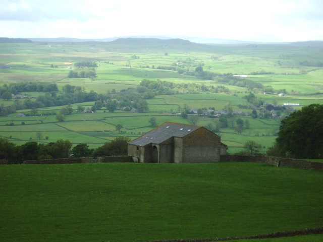
Cleatop Wood is a picturesque forest located in the county of Yorkshire, England. Spanning over a vast area, this woodland is renowned for its natural beauty and diverse ecosystem. The wood is situated on the outskirts of a small village, providing a tranquil escape from the hustle and bustle of urban life.
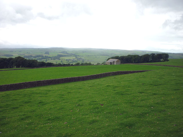
Cleatop Wood is characterized by its dense canopy of towering trees, predominantly consisting of oak, beech, and birch. These majestic trees create a serene and serene atmosphere, offering shade and shelter to various wildlife species that call the wood their home. The forest floor is carpeted with a rich layer of leaf litter, creating a haven for a multitude of plant species, including wildflowers and ferns.
The wood is crisscrossed with an extensive network of footpaths, allowing visitors to explore its scenic trails and discover its hidden gems. These paths meander through sun-dappled glades, babbling brooks, and enchanting clearings, providing ample opportunities for nature lovers, hikers, and photographers to immerse themselves in the beauty of the woodland.
Cleatop Wood is not only a place of natural beauty but also a site of historical significance. The forest has witnessed centuries of human habitation, with evidence of ancient settlements and archaeological finds. It is believed that the wood played a crucial role in the lives of the local communities, providing resources for fuel, timber, and sustenance.
Today, Cleatop Wood continues to be cherished and protected by local conservation efforts, ensuring its preservation for future generations to enjoy. With its breathtaking vistas, diverse wildlife, and rich history, Cleatop Wood remains a beloved destination for nature enthusiasts seeking solace in the beauty of Yorkshire's countryside.
If you have any feedback on the listing, please let us know in the comments section below.
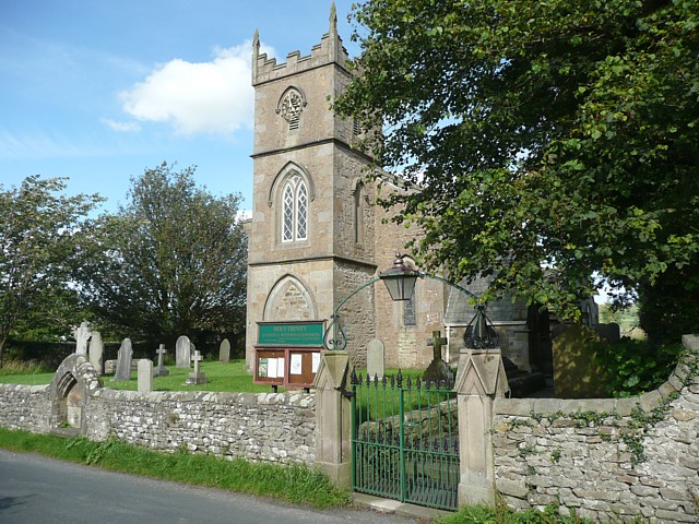
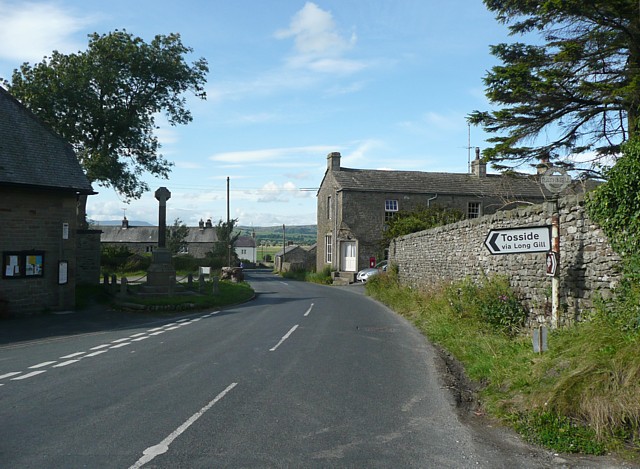
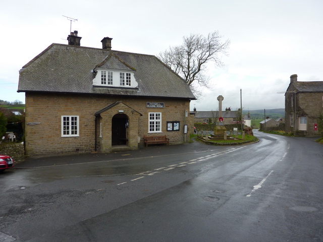
Cleatop Wood Images
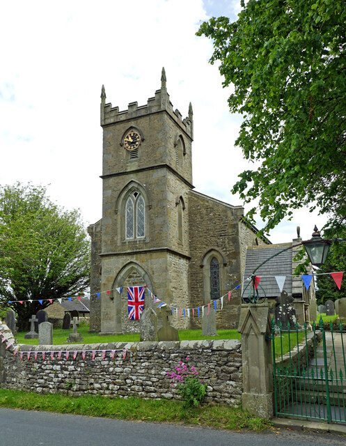
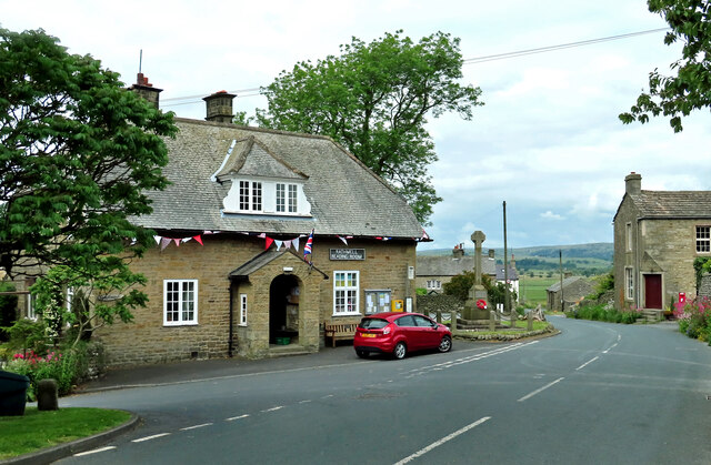
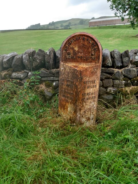
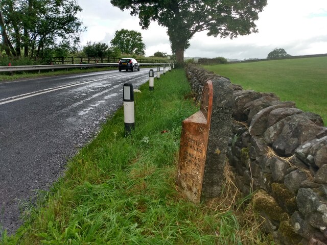
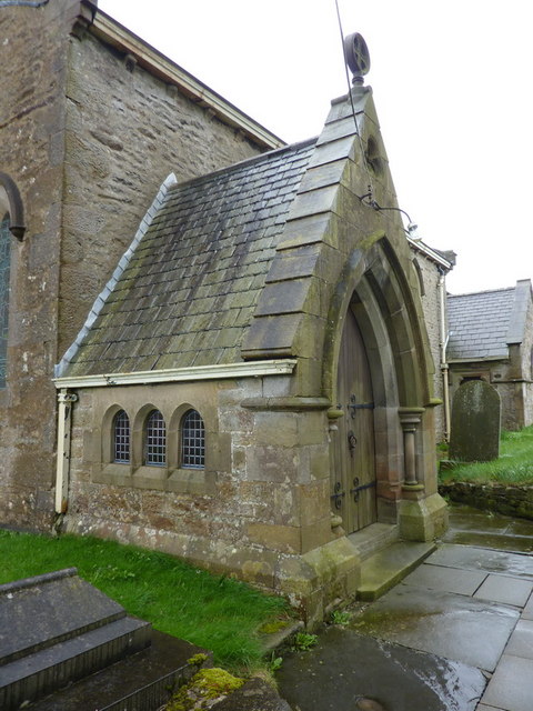
Images are sourced within 2km of 54.046237/-2.2823461 or Grid Reference SD8161. Thanks to Geograph Open Source API. All images are credited.


Cleatop Wood is located at Grid Ref: SD8161 (Lat: 54.046237, Lng: -2.2823461)
Division: West Riding
Administrative County: North Yorkshire
District: Craven
Police Authority: North Yorkshire
What 3 Words
///brightly.because.haggling. Near Settle, North Yorkshire
Nearby Locations
Related Wikis

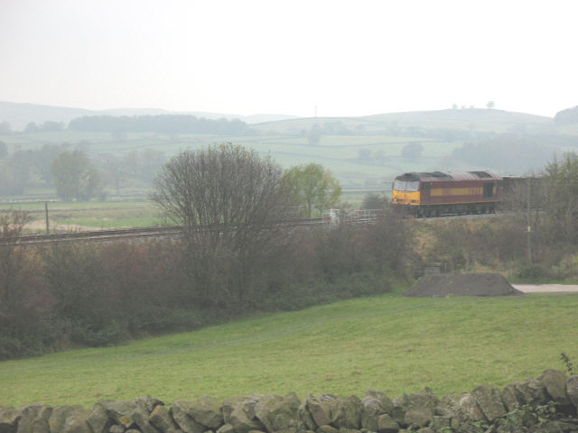
Settle Junction railway station
Settle Junction railway station was located near the town of Settle, North Yorkshire, England, immediately to south of the junction between the Midland...

Rathmell
Rathmell is a village and civil parish in the Craven district of North Yorkshire, England. The population of the civil parish in the 2011 census was 305...

Giggleswick railway station
Giggleswick is a railway station on the Bentham Line, which runs between Leeds and Morecambe via Skipton. The station, situated 41+1⁄4 miles (66 km) north...
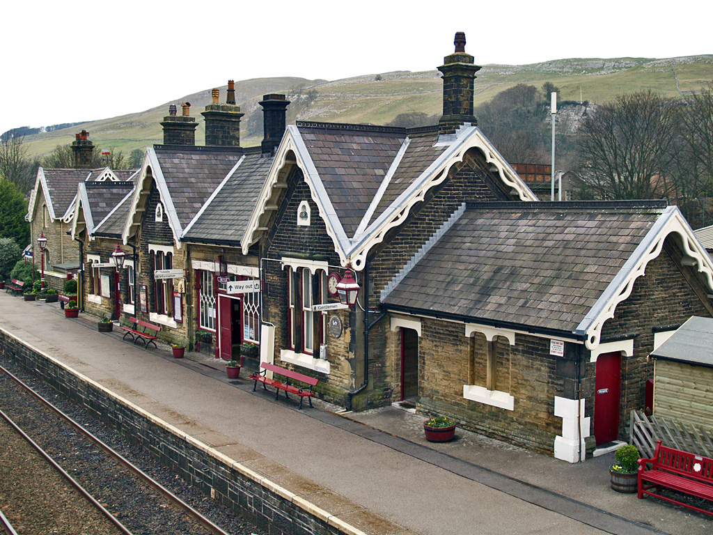
Settle railway station
Settle is a railway station on the Settle and Carlisle Line, which runs between Carlisle and Leeds via Settle. The station, situated 41 miles 37 chains...
Nearby Amenities
Located within 500m of 54.046237,-2.2823461Have you been to Cleatop Wood?
Leave your review of Cleatop Wood below (or comments, questions and feedback).