Black Firs

Wood, Forest in Cheshire

England

Black Firs

Pasture land N of Dayhouse Green Farm, Smallwood
Pasture land N of Dayhouse Green Farm, Smallwood Credit: Colin Park

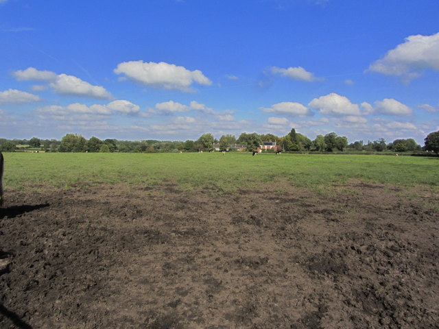
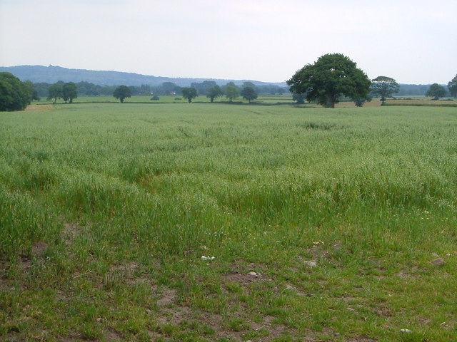
Black Firs is a small woodland located in the county of Cheshire, England. Situated near the village of Adlington, it covers an area of approximately 50 acres and is a popular destination for nature enthusiasts and walkers alike.

The woodland is primarily composed of tall coniferous trees, such as Scots pine and Norway spruce, which create a dense canopy overhead, providing a cool and shaded environment. The forest floor is covered in a thick layer of fallen needles and leaves, adding to the tranquility and natural beauty of the area.

Black Firs is known for its diverse wildlife, with a variety of bird species, including woodpeckers and owls, making their home within the woodland. Visitors may also spot small mammals like squirrels and rabbits scurrying amongst the undergrowth. The forest is particularly vibrant during the spring and summer months when wildflowers bloom, attracting butterflies and bees.

The woodland offers a network of well-maintained footpaths, allowing visitors to explore its various trails and discover its hidden corners. There are picnic areas and benches dotted throughout the forest, providing opportunities for visitors to rest and soak in the peaceful surroundings. Additionally, the woodland is dog-friendly, making it a popular spot for dog walkers.

Black Firs provides a tranquil escape from the hustle and bustle of everyday life, offering a serene environment for individuals to connect with nature. Its accessibility and natural beauty make it a cherished destination for both locals and tourists seeking a peaceful woodland experience in Cheshire.

If you have any feedback on the listing, please let us know in the comments section below.

Black Firs Images

Images are sourced within 2km of 53.125668/-2.2805598 or Grid Reference SJ8158. Thanks to Geograph Open Source API. All images are credited.

Pasture land N of Dayhouse Green Farm, Smallwood
Crossroads NE of Smallwood
Smallwood The church at Smallwood.
Smallwood
The church at Smallwood.
Spen Green House at Spen Green.
Spen Green
House at Spen Green.
St John the Baptist, Smallwood
The Bull's Head, Fourlanes End At least Fourlanes End is not dry after the closure of <a href="https://www.geograph.org.uk/photo/194823">SJ8059 : The Salamanca, Fourlanes End</a>. This pub is only 200 metres northwest along the Newcastle Road towards Holmes Chapel, and the other side of the crossroads.
The Bull's Head, Fourlanes End
At least Fourlanes End is not dry after the closure of SJ8059 : The Salamanca, Fourlanes End. This pub is only 200 metres northwest along the Newcastle Road towards Holmes Chapel, and the other side of the crossroads.
View from Love Lane A less romantic landscape than one might hope. Beyond the South Cheshire plain rises Mow Cop on the Staffordshire border.
View from Love Lane
A less romantic landscape than one might hope. Beyond the South Cheshire plain rises Mow Cop on the Staffordshire border.
Byway at Spen Green Marked as a Byway Open to All Traffic this track runs south from Pools Lane, Spen Green. Mainly used to get the cows in from the fields it gets very muddy.
Byway at Spen Green
Marked as a Byway Open to All Traffic this track runs south from Pools Lane, Spen Green. Mainly used to get the cows in from the fields it gets very muddy.
Fishing pond at Dayhouse Green Farm
Deers Green Farm
Deers Green Farm
Houses on Bankhouse Lane View across pasture land from the edge of Spen Green to the houses on Bankhouse Lane
Houses on Bankhouse Lane
View across pasture land from the edge of Spen Green to the houses on Bankhouse Lane
Smallwood Vintage Rally View across part of the rally field looking towards Love Lane Farm. Of course it only looks like this a couple of days a year. Normally it's just a boring old field.
Smallwood Vintage Rally
View across part of the rally field looking towards Love Lane Farm. Of course it only looks like this a couple of days a year. Normally it's just a boring old field.
Trent & Mersey Canal Betchton - the South Cheshire Way following the towpath of the Trent & Mersey Canal just east of Chell's Aqueduct.
Trent & Mersey Canal
Betchton - the South Cheshire Way following the towpath of the Trent & Mersey Canal just east of Chell's Aqueduct.
Fields beside Trent and Mersey Canal
Congleton Road/Cross Lane junction Overton Green Lane
Cross Lane With Dayhouse Green Farm atop the rise.
Cross Lane
With Dayhouse Green Farm atop the rise.
Deers Green Farm
Deers Green Farm
Deers Green Farm herd Suppliers to Sainsbury Supermarkets - no cheese from these, then.
Deers Green Farm herd
Suppliers to Sainsbury Supermarkets - no cheese from these, then.
Show me another place!

Black Firs is located at Grid Ref: SJ8158 (Lat: 53.125668, Lng: -2.2805598)

Unitary Authority: Cheshire East

Police Authority: Cheshire

What 3 Words

///statement.almost.culminate. Near Rode Heath, Cheshire

Related Wikis

Rode Hall

Rode Hall, a Georgian country house, is the seat of the Wilbraham family, members of the landed gentry in the parish of Odd Rode, Cheshire, England. The...

St John the Baptist's Church, Smallwood

St John the Baptist's Church is in Church Lane, Smallwood, Cheshire, England. It is an active Anglican parish church in the deanery of Congleton, the...

Rode Heath

Rode Heath is a small village in the civil parish of Odd Rode, near Alsager and within the unitary authority of Cheshire East and the ceremonial county...

Smallwood, Cheshire

Smallwood is a civil parish and small village in the unitary authority of Cheshire East and the ceremonial county of Cheshire, England. The village is...

Have you been to Black Firs?

Leave your review of Black Firs below (or comments, questions and feedback).