Warkcommon Covert

Wood, Forest in Northumberland
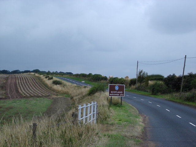
England

Warkcommon Covert

Memorial to William Henry Ogilvie William Ogilvie was a poet, known for <a href="https://www.geograph.org.uk/photo/588393">NT4418 : The Hill Road to Roberton</a>. He is far better remembered in Australia where he lived and wrote for much of his life. There is a car park here.
Memorial to William Henry Ogilvie Credit: Richard Webb

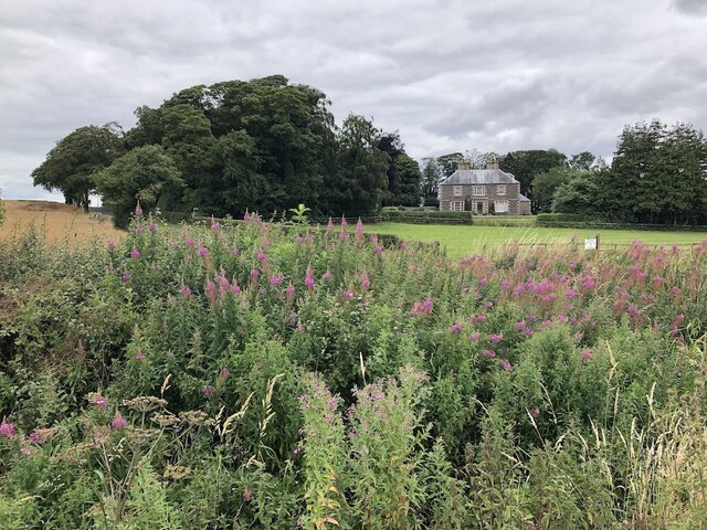
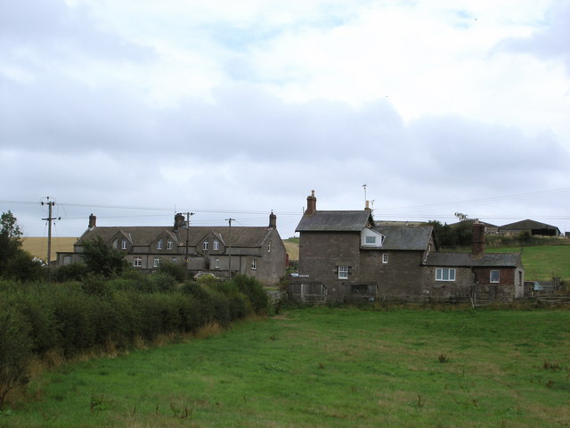
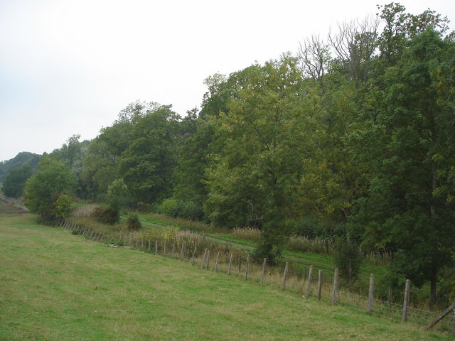
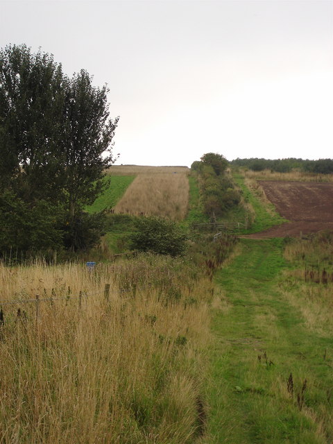
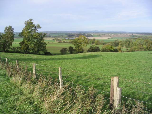
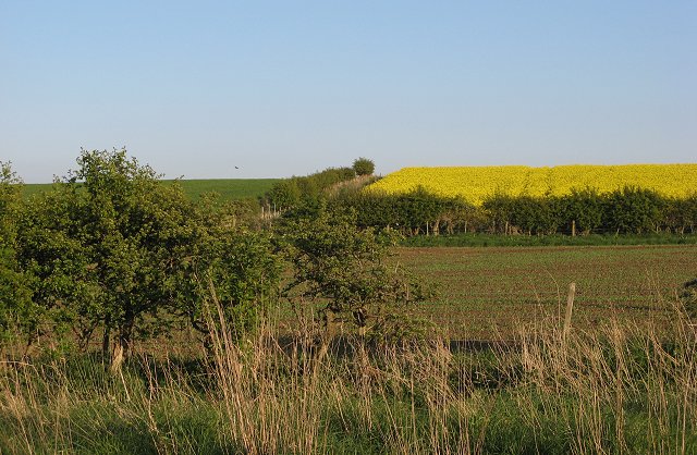
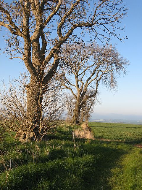
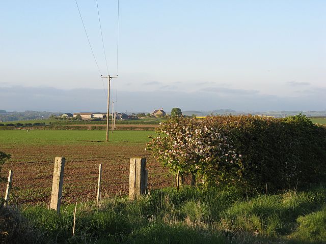
Warkcommon Covert is a woodland area located in Northumberland, England. Situated near the village of Wark, the covert is known for its dense forest cover and natural beauty. The woodland spans across a vast area and is characterized by a variety of tree species, including oak, ash, birch, and pine.

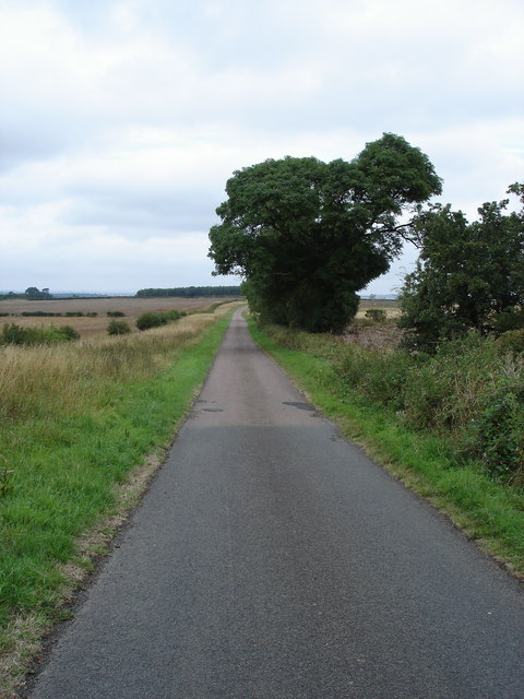
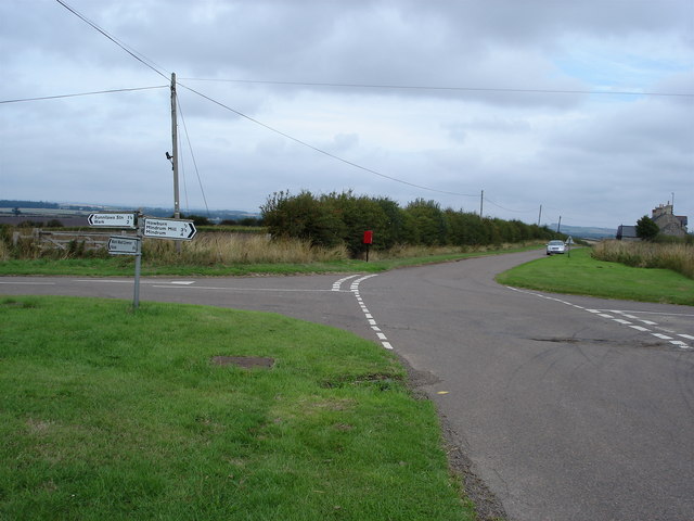
The terrain of Warkcommon Covert is hilly and undulating, with numerous walking trails that wind through the woods, making it a popular destination for nature enthusiasts and hikers. These trails offer visitors the opportunity to explore the diverse flora and fauna that inhabit the area. Wildlife such as deer, rabbits, squirrels, and a variety of bird species can often be spotted within the covert.

The woodland is managed by local authorities, who work to maintain its natural ecosystem and protect its biodiversity. Conservation efforts in the area include tree planting initiatives and the preservation of ancient trees, which contribute to the overall health and sustainability of the woodland.

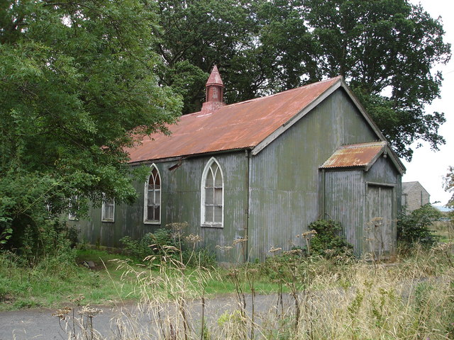
Warkcommon Covert also holds historical significance, with remnants of ancient settlements and structures scattered throughout the area. These archaeological finds provide insight into the human history of the region, adding an extra layer of interest for those exploring the woodland.

Overall, Warkcommon Covert offers visitors the chance to immerse themselves in the tranquility of nature, with its picturesque landscapes, diverse wildlife, and rich history making it a captivating destination for all.

If you have any feedback on the listing, please let us know in the comments section below.

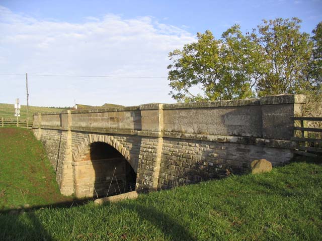
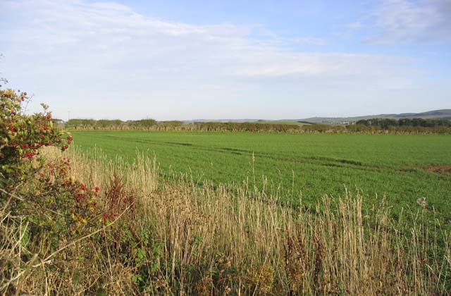
Warkcommon Covert Images

Images are sourced within 2km of 55.618789/-2.2992807 or Grid Reference NT8136. Thanks to Geograph Open Source API. All images are credited.

Memorial to William Henry Ogilvie William Ogilvie was a poet, known for <a href="https://www.geograph.org.uk/photo/588393">NT4418 : The Hill Road to Roberton</a>. He is far better remembered in Australia where he lived and wrote for much of his life. There is a car park here.
Memorial to William Henry Ogilvie
William Ogilvie was a poet, known for NT4418 : The Hill Road to Roberton. He is far better remembered in Australia where he lived and wrote for much of his life. There is a car park here.
Holefield
Holefield
Looking into England The only clue that this is the National Border is that the road surface changes colour !
Looking into England
The only clue that this is the National Border is that the road surface changes colour !
Hall at Howburn This hall has seen better days and no longer seems to be in use
Hall at Howburn
This hall has seen better days and no longer seems to be in use
Scotland from England The B6396 at Pressen Hill.
Scotland from England
The B6396 at Pressen Hill.
Sunilaws Station Former Station on the LNER Kelso & Berwick railway
Sunilaws Station
Former Station on the LNER Kelso & Berwick railway
Looking North from NT794354 North over the Merse towards Dirrington Law
Looking North from NT794354
North over the Merse towards Dirrington Law
Crossroads at Wark Common The 1: 50000 OS Map indicates that there used to be a phone box beside the post box.
Crossroads at Wark Common
The 1: 50000 OS Map indicates that there used to be a phone box beside the post box.
Looking North to England The photograph was taken from Scotland looking towards the former LNER Kelso Berwick railway. One of the quirks of the Border line is that at this point England is actually north of Scotland.
Looking North to England
The photograph was taken from Scotland looking towards the former LNER Kelso Berwick railway. One of the quirks of the Border line is that at this point England is actually north of Scotland.
The Border This unassuming hedge marks another section of the Border between Scotland and England.
The Border
This unassuming hedge marks another section of the Border between Scotland and England.
Farmland near Nottylees This is an area of rich arable farmland. The River Tweed can be seen in the middle background with the village of Birgham behind to the right.
Farmland near Nottylees
This is an area of rich arable farmland. The River Tweed can be seen in the middle background with the village of Birgham behind to the right.
Bridge over a disused railway line The Kelso to Coldstream branch railway line used to run below this bridge, 2km Southeast of Carham. The identification number marked on the bridge is BRB KLO 44.
Bridge over a disused railway line
The Kelso to Coldstream branch railway line used to run below this bridge, 2km Southeast of Carham. The identification number marked on the bridge is BRB KLO 44.
Pasture field This field is near Wark Westcommon.
Pasture field
This field is near Wark Westcommon.
Arable field near Holefield Viewed from the B6396.
Arable field near Holefield
Viewed from the B6396.
Arable land, Wark Common Farm A mix of colourful crops.
Arable land, Wark Common Farm
A mix of colourful crops.
Gordon's Bridge Spring barley and oilseed rape either side of a burn and road at Pressen.
Gordon's Bridge
Spring barley and oilseed rape either side of a burn and road at Pressen.
Ash trees, Haddenrig A line of trees on the site of a hedgerow.
Ash trees, Haddenrig
A line of trees on the site of a hedgerow.
Sunilaws Looking across arable land on Wark Common.
Sunilaws
Looking across arable land on Wark Common.
Show me another place!

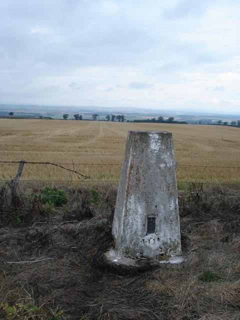
Warkcommon Covert is located at Grid Ref: NT8136 (Lat: 55.618789, Lng: -2.2992807)

Unitary Authority: Northumberland

Police Authority: Northumbria

What 3 Words

///awaiting.songbirds.best. Near Coldstream, Scottish Borders

Related Wikis

Sunilaws railway station

Sunilaws railway station served the parish of Carham, Northumberland, England, from 1859 to 1965 on the Kelso Branch. == History == The station was opened...

Carham railway station

Carham railway station was located in the historic county of Roxburghshire, Scotland, from 1849 to 1964 on the Kelso Branch. It served the village of Carham...

Battle of Carham

The Battle of Carham was fought between the English ruler of Bamburgh and the king of Scotland in alliance with the Cumbrians. The encounter took place...

Hadden, Roxburghshire

Hadden is a hamlet in Scotland near Kelso, and is now part of the Scottish Borders district. "Hadden is an inhabited place in the parish of Sprouston....

Nearby Amenities

Located within 500m of 55.618789,-2.2992807
Wark Westcommon
Place: hamlet
Lat/Long: 55.6172207/-2.303492
The data included in this document is from www.openstreetmap.org. The data is made available under ODbL.

Have you been to Warkcommon Covert?

Leave your review of Warkcommon Covert below (or comments, questions and feedback).