Tree Burn Covert

Wood, Forest in Northumberland

England

Tree Burn Covert

Holefield
Holefield Credit: Richard Webb

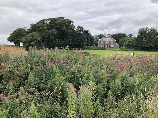
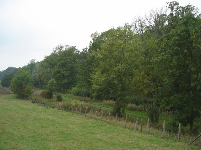
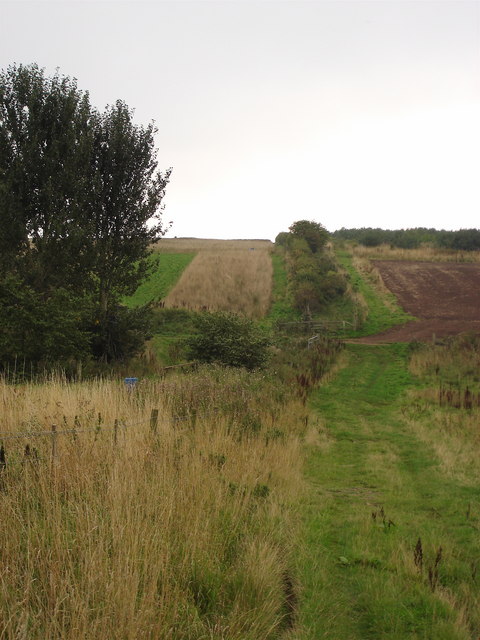
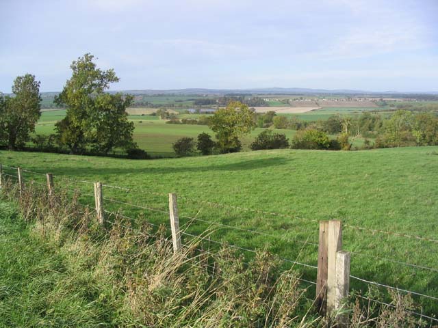
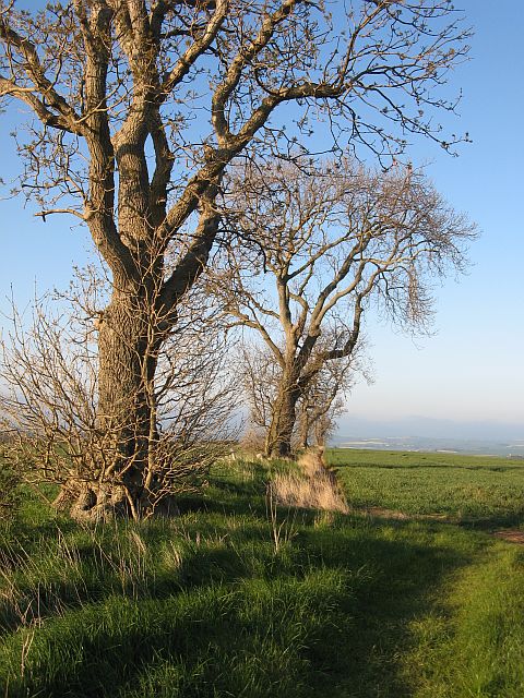
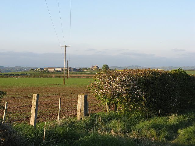
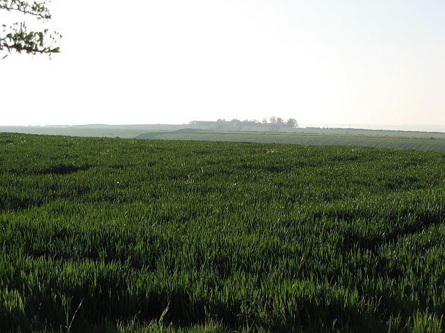
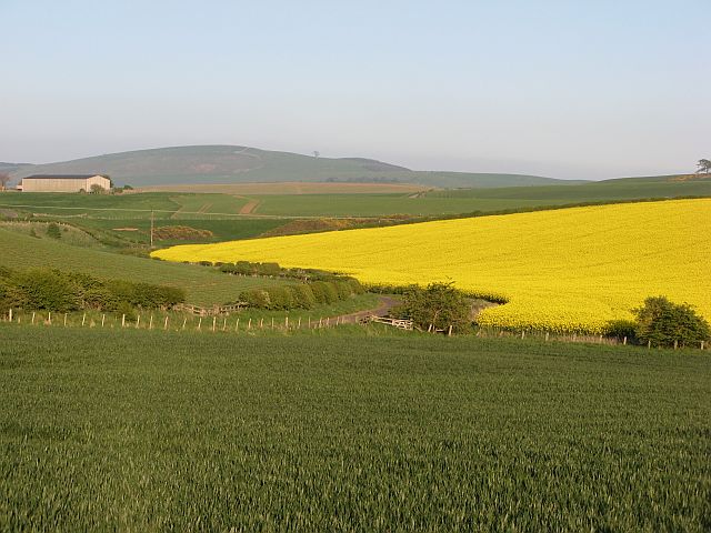
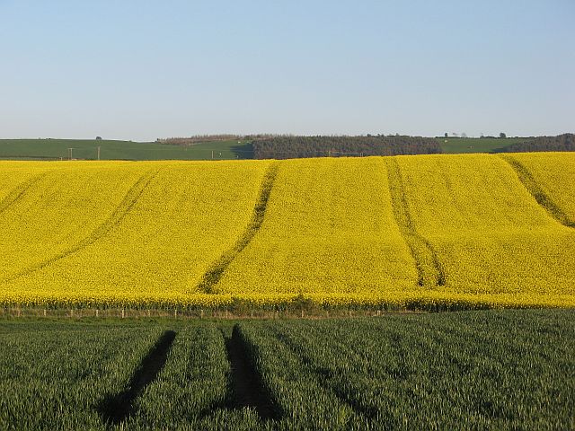
Tree Burn Covert is a small woodland area located in Northumberland, England. Covering approximately 20 acres, this forest is a mix of both coniferous and deciduous trees, providing a diverse and picturesque landscape for visitors to explore.

The woodland is home to a variety of wildlife, including deer, birds, and small mammals, making it a popular spot for nature enthusiasts and birdwatchers. The peaceful atmosphere of the forest also makes it a great location for those looking to escape the hustle and bustle of everyday life and connect with nature.

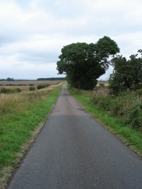
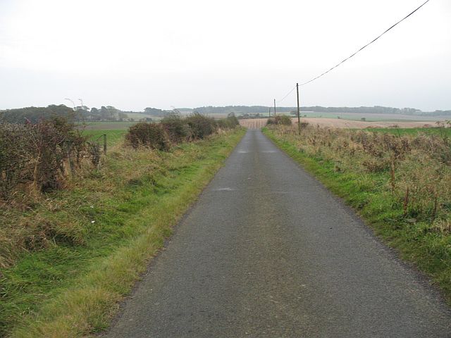
Visitors to Tree Burn Covert can enjoy a network of walking trails that wind through the trees, allowing for leisurely strolls or more challenging hikes. The forest is also a popular spot for picnics, with plenty of designated areas for visitors to relax and enjoy a meal surrounded by nature.

Overall, Tree Burn Covert offers a tranquil and scenic escape for those looking to immerse themselves in the beauty of the Northumberland countryside. Whether for a peaceful walk, wildlife spotting, or simply enjoying the serenity of the forest, this woodland is a must-visit destination for nature lovers.

If you have any feedback on the listing, please let us know in the comments section below.

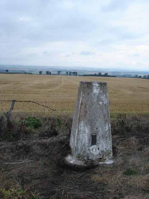
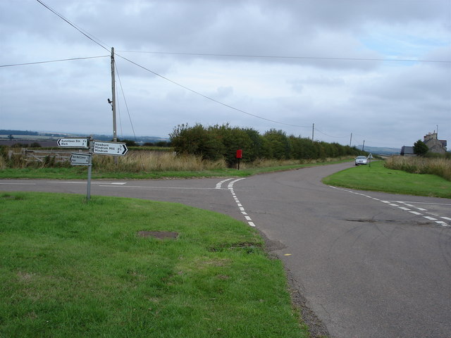
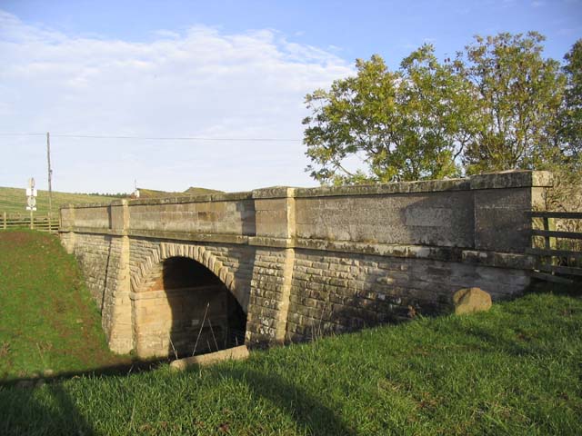
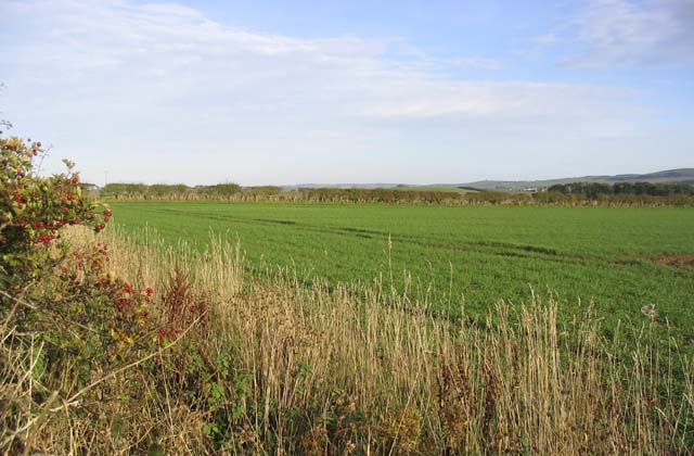
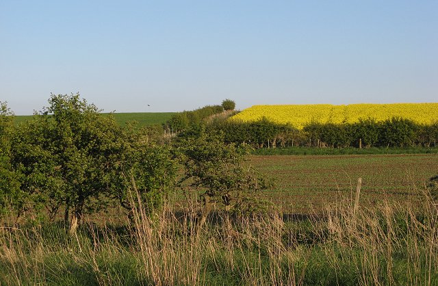
Tree Burn Covert Images

Images are sourced within 2km of 55.621672/-2.2996996 or Grid Reference NT8136. Thanks to Geograph Open Source API. All images are credited.

Holefield
Holefield
Looking into England The only clue that this is the National Border is that the road surface changes colour !
Looking into England
The only clue that this is the National Border is that the road surface changes colour !
Hall at Howburn This hall has seen better days and no longer seems to be in use
Hall at Howburn
This hall has seen better days and no longer seems to be in use
Sunilaws Station Former Station on the LNER Kelso & Berwick railway
Sunilaws Station
Former Station on the LNER Kelso & Berwick railway
Looking North from NT794354 North over the Merse towards Dirrington Law
Looking North from NT794354
North over the Merse towards Dirrington Law
Crossroads at Wark Common The 1: 50000 OS Map indicates that there used to be a phone box beside the post box.
Crossroads at Wark Common
The 1: 50000 OS Map indicates that there used to be a phone box beside the post box.
Looking North to England The photograph was taken from Scotland looking towards the former LNER Kelso Berwick railway. One of the quirks of the Border line is that at this point England is actually north of Scotland.
Looking North to England
The photograph was taken from Scotland looking towards the former LNER Kelso Berwick railway. One of the quirks of the Border line is that at this point England is actually north of Scotland.
The Border This unassuming hedge marks another section of the Border between Scotland and England.
The Border
This unassuming hedge marks another section of the Border between Scotland and England.
Farmland near Nottylees This is an area of rich arable farmland. The River Tweed can be seen in the middle background with the village of Birgham behind to the right.
Farmland near Nottylees
This is an area of rich arable farmland. The River Tweed can be seen in the middle background with the village of Birgham behind to the right.
Bridge over a disused railway line The Kelso to Coldstream branch railway line used to run below this bridge, 2km Southeast of Carham. The identification number marked on the bridge is BRB KLO 44.
Bridge over a disused railway line
The Kelso to Coldstream branch railway line used to run below this bridge, 2km Southeast of Carham. The identification number marked on the bridge is BRB KLO 44.
Pasture field This field is near Wark Westcommon.
Pasture field
This field is near Wark Westcommon.
Arable land, Wark Common Farm A mix of colourful crops.
Arable land, Wark Common Farm
A mix of colourful crops.
Ash trees, Haddenrig A line of trees on the site of a hedgerow.
Ash trees, Haddenrig
A line of trees on the site of a hedgerow.
Sunilaws Looking across arable land on Wark Common.
Sunilaws
Looking across arable land on Wark Common.
Wark Common This cornfield is access land, it is a common. Here  in England, one arable field has been designated "open", while to the west in Scotland, to cross this field would be unlawful on account of damaging a growing crop.
I would dearly hope that folk wait until this is stubble before enjoying their hard won limited rights.
Wark Common
This cornfield is access land, it is a common. Here in England, one arable field has been designated "open", while to the west in Scotland, to cross this field would be unlawful on account of damaging a growing crop. I would dearly hope that folk wait until this is stubble before enjoying their hard won limited rights.
Pressen Looking down towards the How Burn and Gordon's Bridge.
Pressen
Looking down towards the How Burn and Gordon's Bridge.
Farmland, Howburn Multicoloured agriculture.
Farmland, Howburn
Multicoloured agriculture.
East of the Border - just The road marks the end of Scotland south of the Tweed. The 1:25000 map suggests that the road is English.
East of the Border - just
The road marks the end of Scotland south of the Tweed. The 1:25000 map suggests that the road is English.
Show me another place!

Tree Burn Covert is located at Grid Ref: NT8136 (Lat: 55.621672, Lng: -2.2996996)

Unitary Authority: Northumberland

Police Authority: Northumbria

What 3 Words

///sharpened.misfits.kipper. Near Coldstream, Scottish Borders

Related Wikis

Sunilaws railway station

Sunilaws railway station served the parish of Carham, Northumberland, England, from 1859 to 1965 on the Kelso Branch. == History == The station was opened...

Battle of Carham

The Battle of Carham was fought between the English ruler of Bamburgh and the king of Scotland in alliance with the Cumbrians. The encounter took place...

Carham railway station

Carham railway station was located in the historic county of Roxburghshire, Scotland, from 1849 to 1964 on the Kelso Branch. It served the village of Carham...

Carham

Carham or Carham on Tweed is a village in Northumberland, England. The village lies on the south side of the River Tweed about 3 miles (5 km) west of Coldstream...

Have you been to Tree Burn Covert?

Leave your review of Tree Burn Covert below (or comments, questions and feedback).