Hell Hole
Wood, Forest in Staffordshire Stafford
England
Hell Hole
Hell Hole, Staffordshire (Wood, Forest) is a unique and captivating natural attraction located in Staffordshire, England. Situated amidst the serene beauty of the picturesque Staffordshire countryside, Hell Hole is a dense woodland and forest area that has gained fame for its intriguing name and mysterious ambiance.
Covering an approximate area of 100 acres, Hell Hole is characterized by a dense canopy of ancient trees, creating an enchanting and somewhat eerie atmosphere. The forest is predominantly made up of oak, beech, and birch trees, which have grown for centuries, forming a dense and tangled undergrowth. This contributes to the area's nickname, as the thick foliage and lack of sunlight create an almost otherworldly experience for visitors.
The forest is home to a diverse range of wildlife, including deer, foxes, badgers, and a variety of bird species, making it a popular spot for nature enthusiasts and birdwatchers. The forest floor is adorned with a rich tapestry of wildflowers, adding a splash of color to the otherwise dark and mysterious surroundings.
Hell Hole has become a favorite destination for hikers and nature lovers alike, offering numerous walking trails that wind through the forest. Visitors can explore the area's unique natural features, including small streams, hidden ponds, and rocky outcrops, adding to the allure of this enchanting woodland.
While the origin of the name Hell Hole remains uncertain, the forest continues to draw visitors who are captivated by its haunting beauty and intriguing atmosphere. Whether one seeks solitude and tranquility or an adventure in the heart of nature, Hell Hole, Staffordshire is a truly remarkable destination that offers a unique and unforgettable experience.
If you have any feedback on the listing, please let us know in the comments section below.
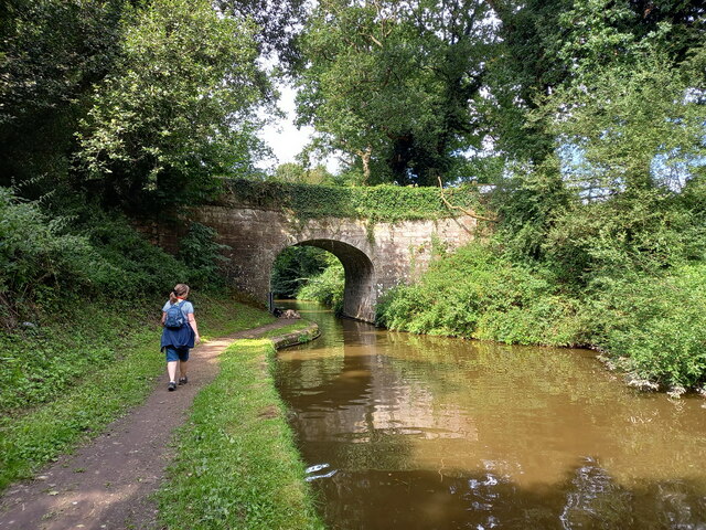
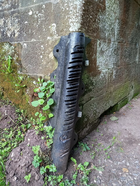
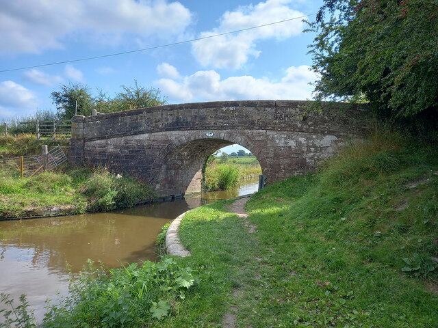
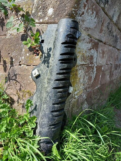
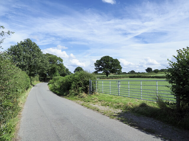
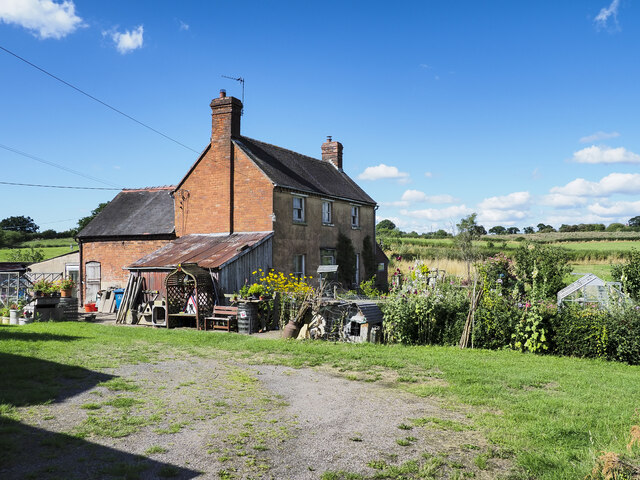
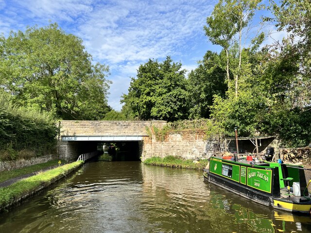
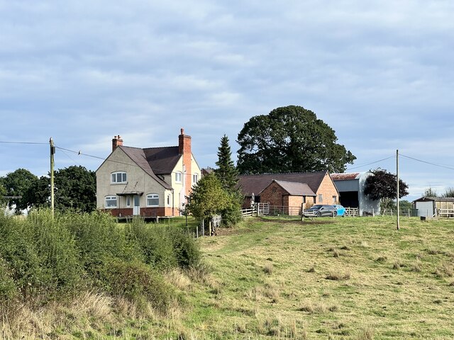
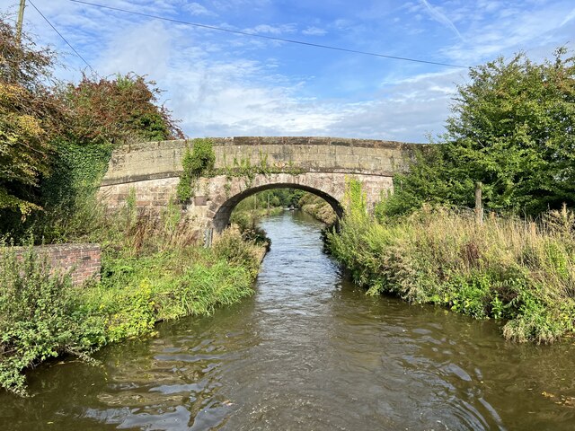
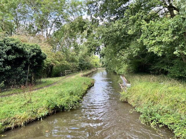
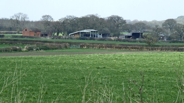
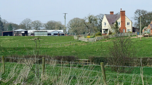
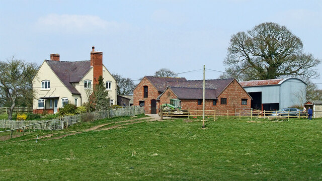
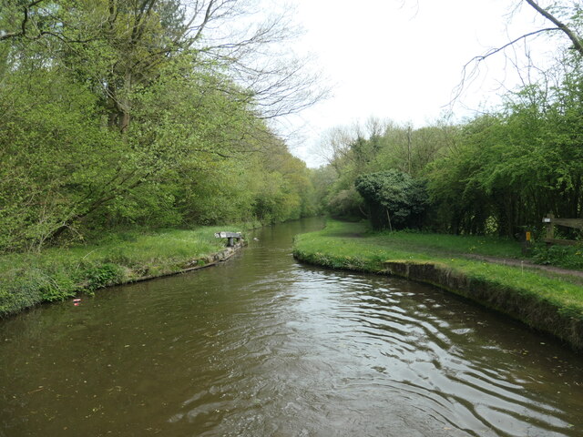
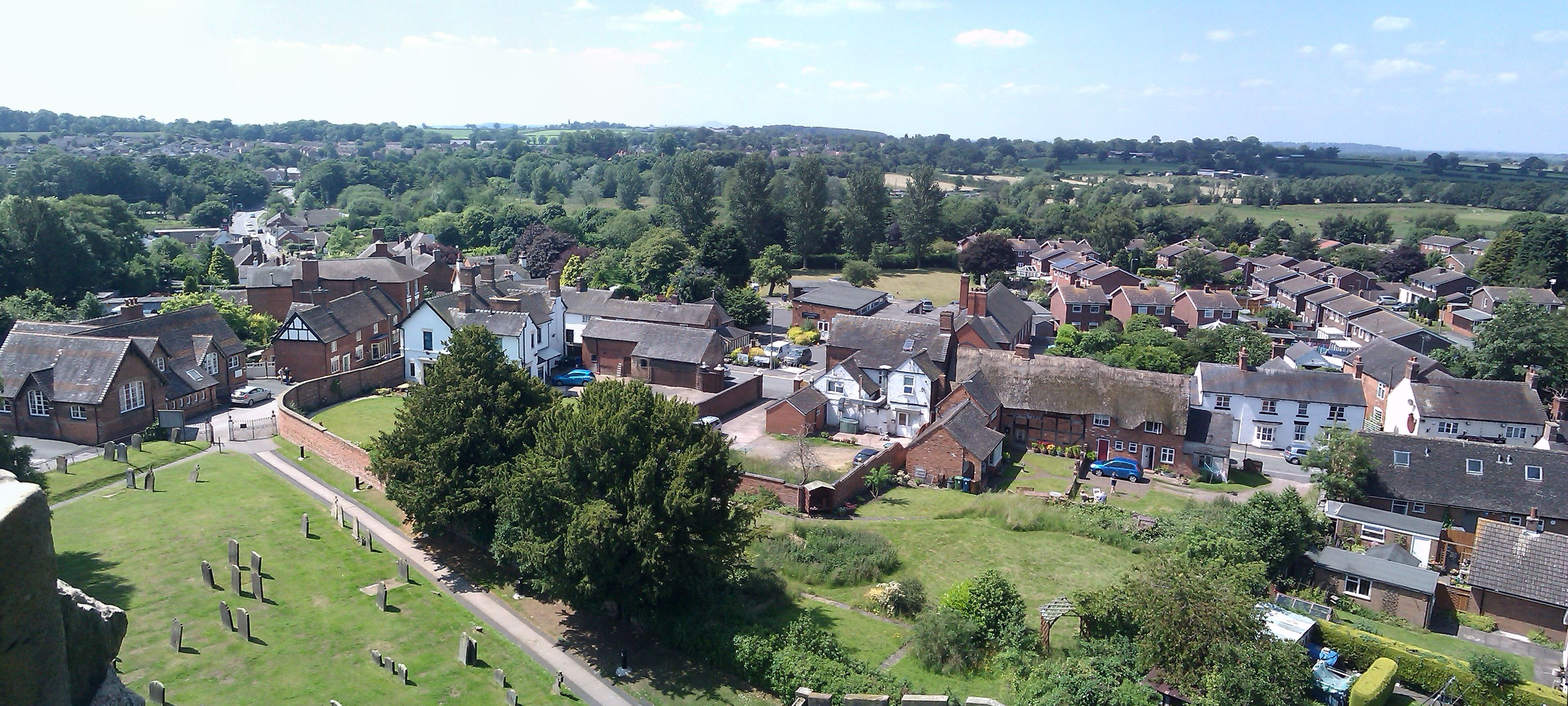
Hell Hole Images
Images are sourced within 2km of 52.797495/-2.2853231 or Grid Reference SJ8022. Thanks to Geograph Open Source API. All images are credited.


Hell Hole is located at Grid Ref: SJ8022 (Lat: 52.797495, Lng: -2.2853231)
Administrative County: Staffordshire
District: Stafford
Police Authority: Staffordshire
What 3 Words
///hurls.relations.reseller. Near Gnosall, Staffordshire
Nearby Locations
Related Wikis

Norbury Junction
Norbury Junction (grid reference SJ793228) is a hamlet and former canal junction which lies about 1 mile (1.6 km) to the south east of Norbury, in Staffordshire...

Gnosall Rural District
Gnosall was a rural district in Staffordshire, England from 1894 to 1934. It was formed under the Local Government Act 1894 from that part of the Newport...
Coton, Staffordshire
Coton is a hamlet in the English county of Staffordshire.It lies on the A518 road some two miles west of Gnosall. == See also == Listed buildings in Gnosall...

St Lawrence's Church, Gnosall
St Lawrence's Church is an Anglican church in Gnosall, Staffordshire, England. It is a Grade I listed building. The earliest parts of the church are of...
Gnosall
Gnosall () is a village and civil parish in the Borough of Stafford, Staffordshire, England, with a population of 4,736 across 2,048 households (2011 census...

Gnosall railway station
Gnosall railway station was a station in Gnosall, Staffordshire, England. The station was opened in June 1849 and closed on 7 September 1964. == References... ==

Norbury, Staffordshire
Norbury is a village and civil parish in the Borough of Stafford, in west Staffordshire, England. The population as taken at the 2011 census was 371.It...
Loynton
Loynton is a hamlet on the A519 near the villages of Norbury, and Woodseaves in Staffordshire, England. It lies in the civil parish of Norbury. Loynton...
Nearby Amenities
Located within 500m of 52.797495,-2.2853231Have you been to Hell Hole?
Leave your review of Hell Hole below (or comments, questions and feedback).