Aird a Mhachair

Settlement in Inverness-shire

Scotland

Aird a Mhachair

Bagh a Tuath Translation - North Bay.  There are so many wonderful beaches in the Hebrides that frequently they are simply named for how they face - west, north, east or south.
Bagh a Tuath Credit: Gordon Brown

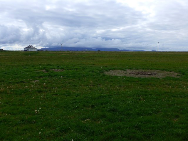
Aird a Mhachair is a small coastal village located in the Inverness-shire region of Scotland. Situated on the west coast of Scotland, it is nestled between the stunning mountains of the Highlands and the picturesque shores of the Inner Sound. The village is part of the Scottish Highlands, known for its rugged beauty and tranquil atmosphere.

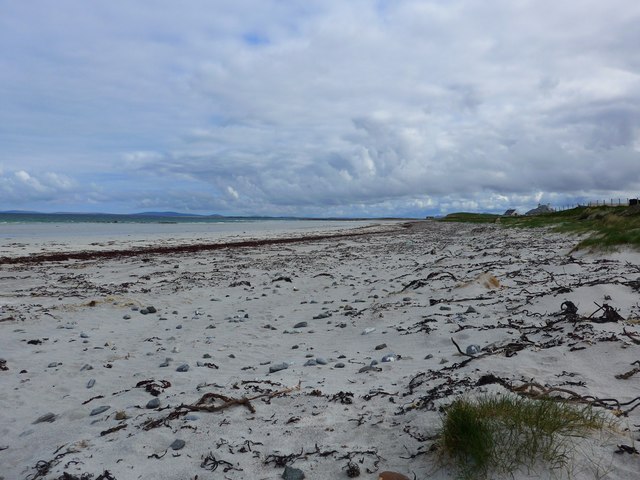
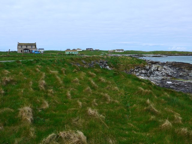
Aird a Mhachair is a traditional Scottish village with a population of around 200 residents. It is mainly a residential area with a few local amenities. The village exudes a sense of tranquility and offers a peaceful escape from the bustling city life. The surrounding landscape is characterized by rolling hills, verdant meadows, and breathtaking views of the sea. The area is also rich in wildlife, providing opportunities for birdwatching and nature lovers.

Although Aird a Mhachair is a small village, it is well-connected to nearby towns and cities. The vibrant city of Inverness is approximately 40 miles away, offering a range of amenities, including shopping centers, restaurants, and cultural attractions. Additionally, the village is within driving distance of the famous Loch Ness, known for its mythical monster, and the stunning Isle of Skye.

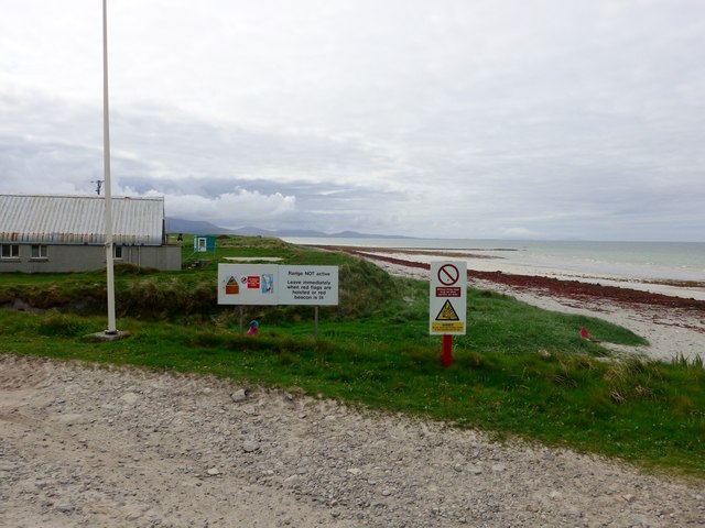
For outdoor enthusiasts, Aird a Mhachair offers a plethora of activities. The nearby mountains provide excellent opportunities for hiking, climbing, and mountain biking. The coastline offers beautiful beaches and opportunities for water sports such as kayaking and sailing. Fishing is also popular in the area, with local rivers and lochs teeming with salmon and trout.

Overall, Aird a Mhachair is a hidden gem in the Scottish Highlands, offering a peaceful and picturesque setting for those seeking a tranquil escape amidst the stunning natural beauty of the region.

If you have any feedback on the listing, please let us know in the comments section below.

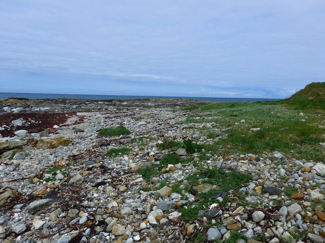
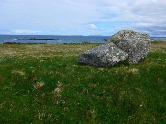
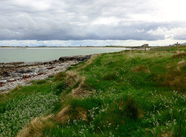
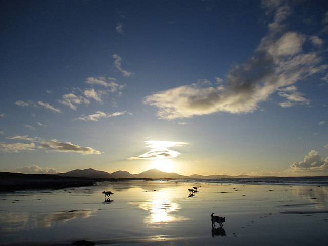
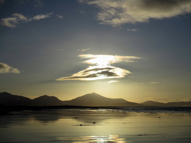
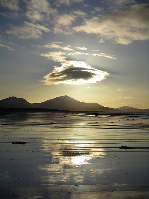
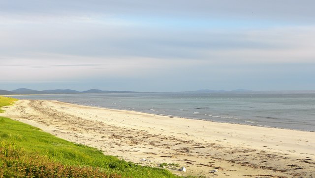
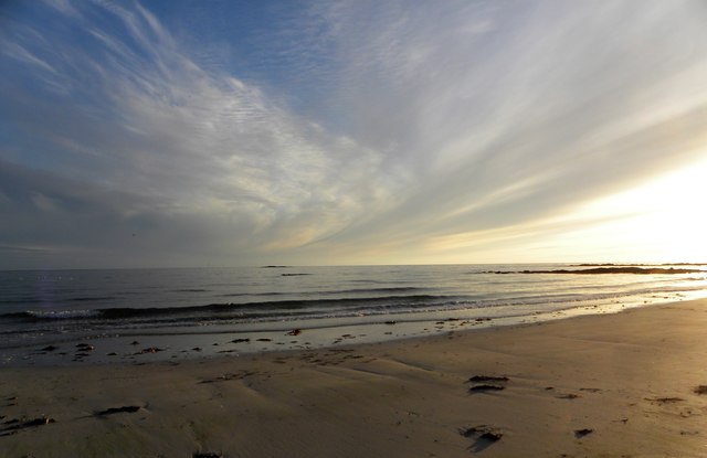
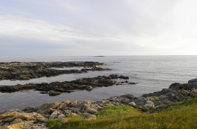
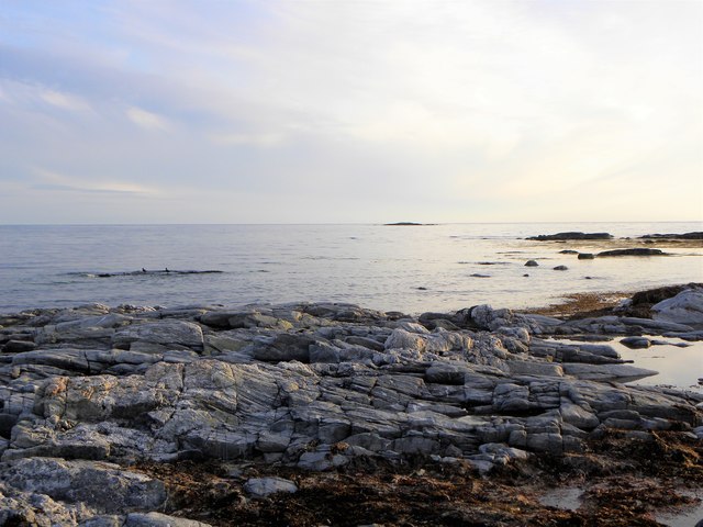
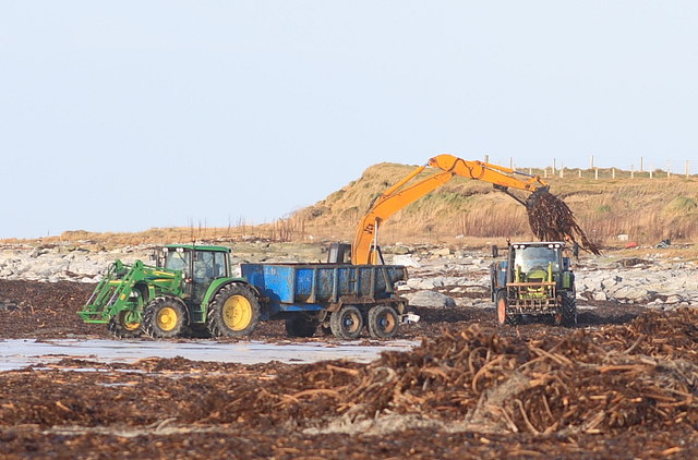
Aird a Mhachair Images

Images are sourced within 2km of 57.37824/-7.426454 or Grid Reference NF7445. Thanks to Geograph Open Source API. All images are credited.

Bagh a Tuath Translation - North Bay.  There are so many wonderful beaches in the Hebrides that frequently they are simply named for how they face - west, north, east or south.
Bagh a Tuath
Translation - North Bay. There are so many wonderful beaches in the Hebrides that frequently they are simply named for how they face - west, north, east or south.
The coast at Ardivachar
Houses at Kilaulay It looks as though perhaps a cattle feeder has been positioned then removed to make the circular pattern in the grass.
Houses at Kilaulay
It looks as though perhaps a cattle feeder has been positioned then removed to make the circular pattern in the grass.
Northern entry to the South Uist Firing range The range head lies here at West Gerinish, where the ground launch areas are sited and provide missile launching, preparation and maintenance facilities. 

On the day we visited the range was quiet - no red flag flying.
Northern entry to the South Uist Firing range
The range head lies here at West Gerinish, where the ground launch areas are sited and provide missile launching, preparation and maintenance facilities. On the day we visited the range was quiet - no red flag flying.
The shore at Ardivachar
Near the shore at Rubha Aird na Machrach
Looking across Bagh a Tuath In English, 'North Bay'.

The houses are at Kilaulay.
Looking across Bagh a Tuath
In English, 'North Bay'. The houses are at Kilaulay.
Beach South of Ardivachar Low tide and low sun on the beach.
Beach South of Ardivachar
Low tide and low sun on the beach.
Beach South of Ardivachar Unusual cloud over the distant hills.
Beach South of Ardivachar
Unusual cloud over the distant hills.
Sandy Reflections Low tide on the beach south of Ardivachar.
Sandy Reflections
Low tide on the beach south of Ardivachar.
Northern end of South Uist's big beach This white sand beach stretches almost all the way down the west side of South Uist. Generally plenty of room to erect your deck chair without getting too close to others.
Northern end of South Uist's big beach
This white sand beach stretches almost all the way down the west side of South Uist. Generally plenty of room to erect your deck chair without getting too close to others.
Evening light on the beach Around 10pm on a June evening with light slowly fading over the Atlantic.
Evening light on the beach
Around 10pm on a June evening with light slowly fading over the Atlantic.
Geo Bhata A small rocky bay at Aird a Mhachair.
Geo Bhata
A small rocky bay at Aird a Mhachair.
Rocky foreshore, Geo Bhata Looking out to sea along a reef at Geo Bhata.
Rocky foreshore, Geo Bhata
Looking out to sea along a reef at Geo Bhata.
Eider creche Groups of eider ducklings with 'aunties' who look after them.
Eider creche
Groups of eider ducklings with 'aunties' who look after them.
Oystercatchers on the rocks Time for oystercatchers to have a bit of a piping session on the rocks, whilst eiders paddle about nearby.
Oystercatchers on the rocks
Time for oystercatchers to have a bit of a piping session on the rocks, whilst eiders paddle about nearby.
Seaweed Collection A period of westerly winds has dropped a good crop of seaweed along the west coast. Many tons have been taken off in the last few days and spread over the machair.
Seaweed Collection
A period of westerly winds has dropped a good crop of seaweed along the west coast. Many tons have been taken off in the last few days and spread over the machair.
House at Cill Amhlaidh With a post box and red phone box.
House at Cill Amhlaidh
With a post box and red phone box.
Show me another place!

Aird a Mhachair is located at Grid Ref: NF7445 (Lat: 57.37824, Lng: -7.426454)

Unitary Authority: Na h-Eileanan an Iar

Police Authority: Highlands and Islands

Also known as: Ardivachar

What 3 Words

///hourglass.parkway.helpfully. Near Balivanich, Na h-Eileanan Siar

Related Wikis

Kilaulay

Kilaulay (Scottish Gaelic: Cill Amhlaigh / Cill Amhlaidh ) is a crofting township on the island of South Uist, in the Outer Hebrides of Scotland. Kilaulay...

Balgarva

Balgarva (Scottish Gaelic: Baile Gharbhaidh) is a crofting settlement on South Uist in the Outer Hebrides, Scotland. Balgarva is within the parish of South...

Loch Bee

Loch Bì, sometimes anglicised as Loch Bee, is the largest loch on the island of South Uist in the Outer Hebrides of Scotland. It lies at the northern end...

Iochdar

Iochdar (Scottish Gaelic: An t-Ìochdair), also spelled Eochar, is a hamlet and community on the west coast of the island of South Uist, in the Outer Hebrides...

Nearby Amenities

Located within 500m of 57.37824,-7.426454
Bus Stop
Ardivachar
Bus: yes
Naptan AtcoCode: 6010731510
Naptan Bearing: N
Naptan BusStopType: CUS
Naptan CommonName: Ardivachar
Naptan Indicator: Village
Naptan Landmark: road end bus turning
Naptan NaptanCode: 94723463
Naptan Street: Village
Naptan Verified: no
Public Transport: platform
Source: naptan_import
Lat/Long: 57.3817278/-7.4239079
Barrier: cattle_grid
Lat/Long: 57.3812737/-7.4236299
Power: pole
Lat/Long: 57.3819897/-7.423449
Power: pole
Lat/Long: 57.3814489/-7.424082
The data included in this document is from www.openstreetmap.org. The data is made available under ODbL.

Have you been to Aird a Mhachair?

Leave your review of Aird a Mhachair below (or comments, questions and feedback).