Àird a' Mhachair

Hill, Mountain in Inverness-shire

Scotland

Àird a' Mhachair

Bagh a Tuath Translation - North Bay.  There are so many wonderful beaches in the Hebrides that frequently they are simply named for how they face - west, north, east or south.
Bagh a Tuath Credit: Gordon Brown

Àird a' Mhachair is a hill located in Inverness-shire, a county in the Scottish Highlands. It is situated in the northern part of the county, near the village of Roybridge. With an elevation of approximately 430 meters (1,411 feet), Àird a' Mhachair offers stunning panoramic views of the surrounding landscape.

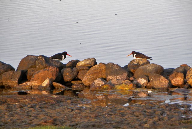
The hill is a popular destination for hikers and nature enthusiasts due to its relatively easy ascent and the breathtaking scenery it provides. Its location within the Lochaber Geopark ensures a diverse range of geological features, including rocky outcrops, heather-covered slopes, and small streams. The hill is also home to a variety of wildlife, including red deer, mountain hares, and various bird species.

The ascent of Àird a' Mhachair typically starts from the car park near Roybridge, following a well-marked path that gradually winds its way up the hill. The trail is suitable for both experienced hikers and beginners, although appropriate footwear and clothing are recommended due to the changeable weather conditions in the Highlands.

At the summit, visitors are rewarded with breathtaking views of the surrounding mountains, including the prominent peaks of Ben Nevis and Aonach Mor. On a clear day, it is possible to see as far as the Isle of Skye and the Inner Hebrides.

Overall, Àird a' Mhachair offers a fantastic opportunity to experience the natural beauty of the Scottish Highlands and enjoy a memorable hike in an idyllic setting.

If you have any feedback on the listing, please let us know in the comments section below.

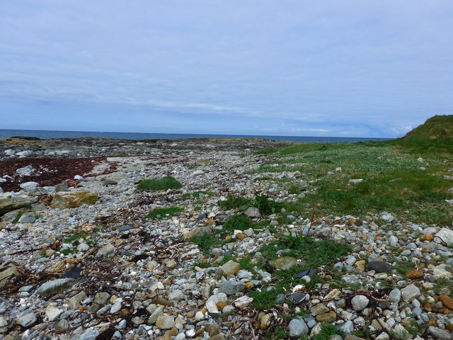
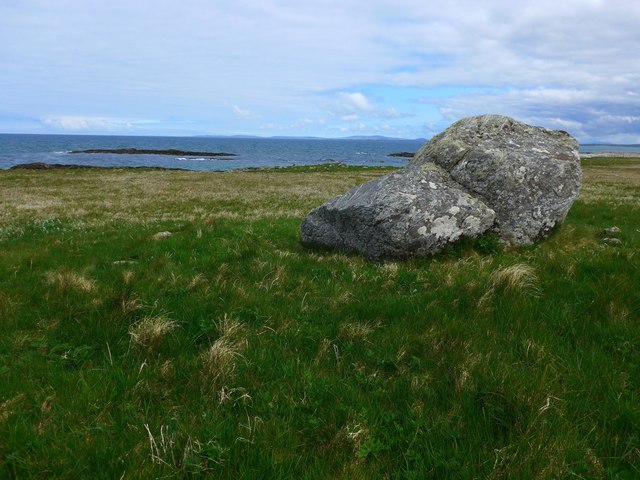
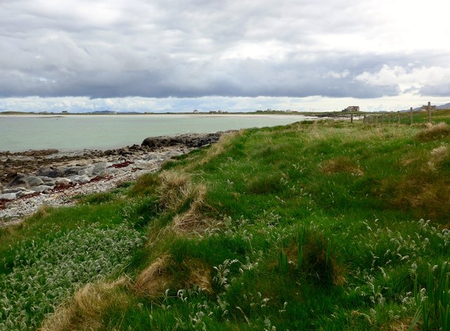
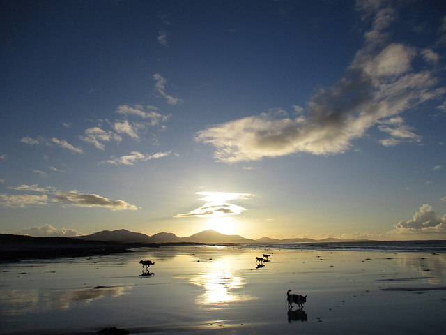
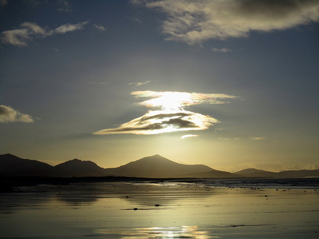
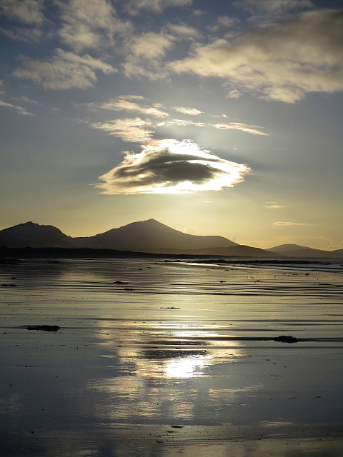
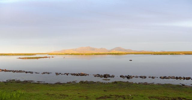
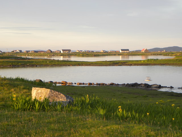
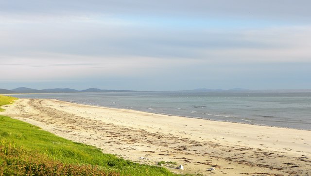
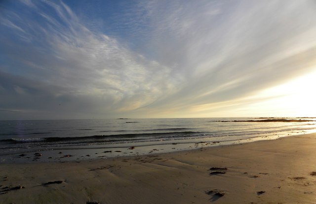
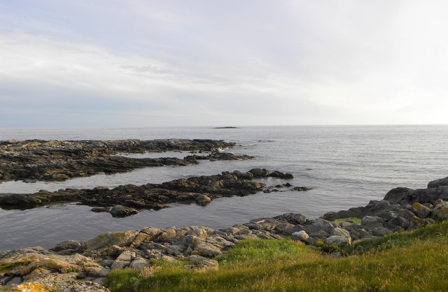
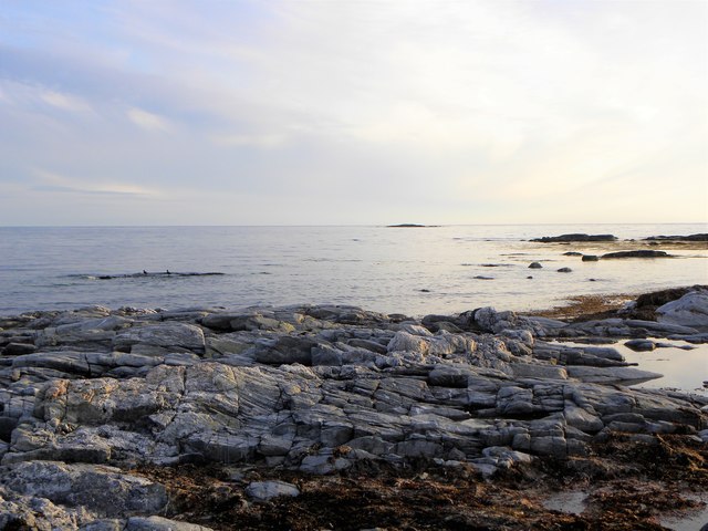
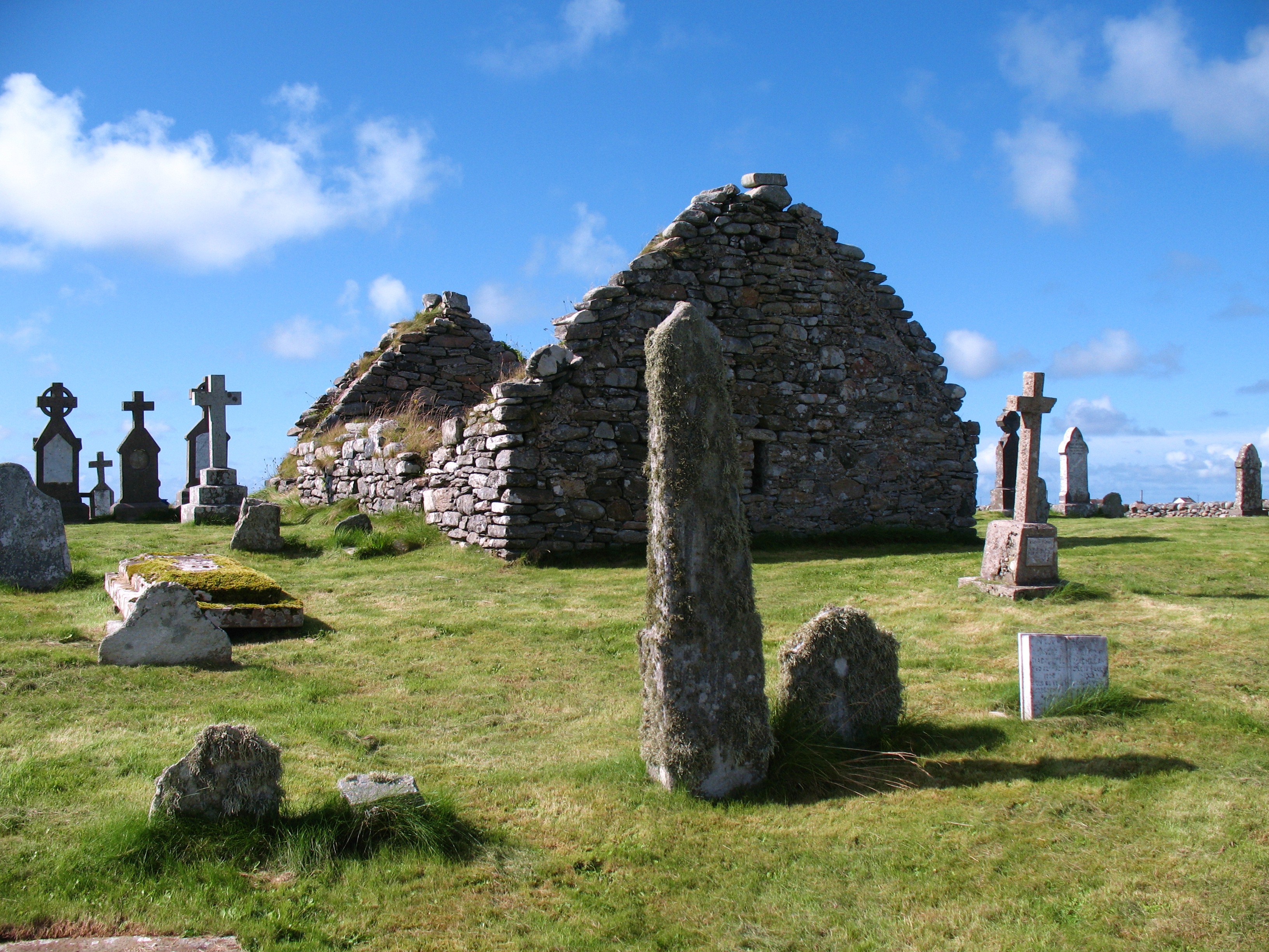
Àird a' Mhachair Images

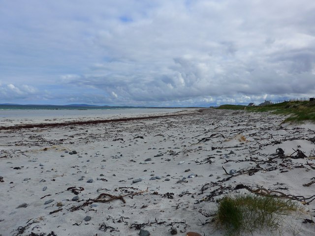
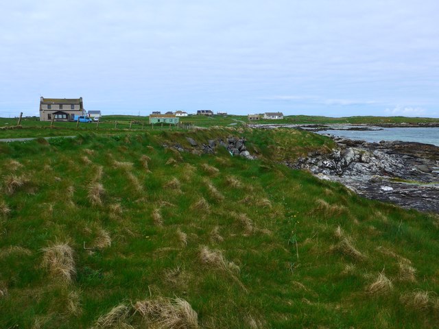
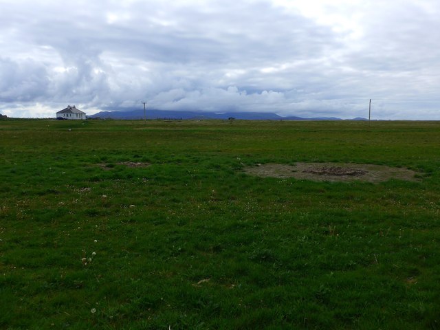
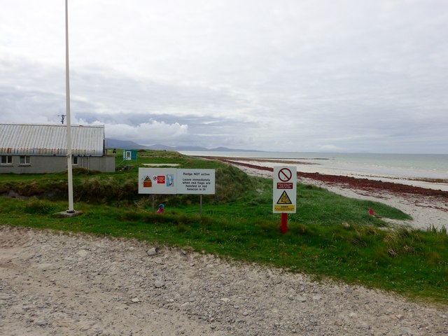
Images are sourced within 2km of 57.387106/-7.4251845 or Grid Reference NF7445. Thanks to Geograph Open Source API. All images are credited.

Bagh a Tuath Translation - North Bay.  There are so many wonderful beaches in the Hebrides that frequently they are simply named for how they face - west, north, east or south.
Bagh a Tuath
Translation - North Bay. There are so many wonderful beaches in the Hebrides that frequently they are simply named for how they face - west, north, east or south.
The coast at Ardivachar
Houses at Kilaulay It looks as though perhaps a cattle feeder has been positioned then removed to make the circular pattern in the grass.
Houses at Kilaulay
It looks as though perhaps a cattle feeder has been positioned then removed to make the circular pattern in the grass.
Northern entry to the South Uist Firing range The range head lies here at West Gerinish, where the ground launch areas are sited and provide missile launching, preparation and maintenance facilities. 

On the day we visited the range was quiet - no red flag flying.
Northern entry to the South Uist Firing range
The range head lies here at West Gerinish, where the ground launch areas are sited and provide missile launching, preparation and maintenance facilities. On the day we visited the range was quiet - no red flag flying.
The shore at Ardivachar
Near the shore at Rubha Aird na Machrach
Looking across Bagh a Tuath In English, 'North Bay'.

The houses are at Kilaulay.
Looking across Bagh a Tuath
In English, 'North Bay'. The houses are at Kilaulay.
Beach South of Ardivachar Low tide and low sun on the beach.
Beach South of Ardivachar
Low tide and low sun on the beach.
Beach South of Ardivachar Unusual cloud over the distant hills.
Beach South of Ardivachar
Unusual cloud over the distant hills.
Sandy Reflections Low tide on the beach south of Ardivachar.
Sandy Reflections
Low tide on the beach south of Ardivachar.
Oystercatchers at Loch Bi You are never far from the loud piping calls of oystercatchers on the Uists. These two appeared to be having a chat on the edge of Loch Bi.
Oystercatchers at Loch Bi
You are never far from the loud piping calls of oystercatchers on the Uists. These two appeared to be having a chat on the edge of Loch Bi.
Evening light, Loch Bi One curious feature here is the line of stones just offshore and shown on the OS map as a boundary. One would hardly consider this as a wall.
Evening light, Loch Bi
One curious feature here is the line of stones just offshore and shown on the OS map as a boundary. One would hardly consider this as a wall.
Across a corner of Loch Bi Loch Bi is an extensive area of brackish water extending across much of the northern end of South Uist and almost cutting it in half. This view is across one small inlet towards houses at Lochdar.
Across a corner of Loch Bi
Loch Bi is an extensive area of brackish water extending across much of the northern end of South Uist and almost cutting it in half. This view is across one small inlet towards houses at Lochdar.
Northern end of South Uist's big beach This white sand beach stretches almost all the way down the west side of South Uist. Generally plenty of room to erect your deck chair without getting too close to others.
Northern end of South Uist's big beach
This white sand beach stretches almost all the way down the west side of South Uist. Generally plenty of room to erect your deck chair without getting too close to others.
Evening light on the beach Around 10pm on a June evening with light slowly fading over the Atlantic.
Evening light on the beach
Around 10pm on a June evening with light slowly fading over the Atlantic.
Geo Bhata A small rocky bay at Aird a Mhachair.
Geo Bhata
A small rocky bay at Aird a Mhachair.
Rocky foreshore, Geo Bhata Looking out to sea along a reef at Geo Bhata.
Rocky foreshore, Geo Bhata
Looking out to sea along a reef at Geo Bhata.
Eider creche Groups of eider ducklings with 'aunties' who look after them.
Eider creche
Groups of eider ducklings with 'aunties' who look after them.
Show me another place!

Àird a' Mhachair is located at Grid Ref: NF7445 (Lat: 57.387106, Lng: -7.4251845)

Unitary Authority: Na h-Eileanan an Iar

Police Authority: Highlands and Islands

Also known as: Ardivachar

What 3 Words

///obtain.planet.grace. Near Balivanich, Na h-Eileanan Siar

Related Wikis

Kilaulay

Kilaulay (Scottish Gaelic: Cill Amhlaigh / Cill Amhlaidh ) is a crofting township on the island of South Uist, in the Outer Hebrides of Scotland. Kilaulay...

Balgarva

Balgarva (Scottish Gaelic: Baile Gharbhaidh) is a crofting settlement on South Uist in the Outer Hebrides, Scotland. Balgarva is within the parish of South...

Loch Bee

Loch Bì, sometimes anglicised as Loch Bee, is the largest loch on the island of South Uist in the Outer Hebrides of Scotland. It lies at the northern end...

Iochdar

Iochdar (Scottish Gaelic: An t-Ìochdair), also spelled Eochar, is a hamlet and community on the west coast of the island of South Uist, in the Outer Hebrides...

Carnan (townland)

Carnan is a townland in County Tyrone, Northern Ireland. It is situated in the historic barony of Dungannon Upper and the civil parish of Arboe and covers...

Borve Castle, Benbecula

Borve Castle, also known as Castle Wearie, and Caisteal Bhuirgh in Scottish Gaelic, is a ruined 14th-century tower house, located at the south-west of...

Our Lady of the Isles

Our Lady of the Isles (Gaelic: Moire ro Naomh nan Eilean or Bana Thighearna nan Eilean) is a sculpture of the Madonna and Child, on South Uist in the Outer...

Nunton, Benbecula

Nunton (Scottish Gaelic: Baile nan Cailleach) is a settlement on Benbecula in the Outer Hebrides, Scotland. Nunton is within the parish of South Uist,...

Nearby Amenities

Located within 500m of 57.387106,-7.4251845
Àird a' Mhachair
Name En: Ardivachar
Name Gd: Àird a' Mhachair
Place: hamlet
Lat/Long: 57.3864926/-7.4212379
Turning Circle
Lat/Long: 57.3859201/-7.4185543
Barrier: cattle_grid
Lat/Long: 57.3859523/-7.422819
Barrier: cattle_grid
Lat/Long: 57.3852858/-7.4250787
Turning Circle
Lat/Long: 57.3854979/-7.4263885
Power: pole
Lat/Long: 57.384944/-7.4249594
Power: pole
Lat/Long: 57.3850738/-7.4238219
Power: pole
Lat/Long: 57.3866931/-7.4205013
Power: pole
Lat/Long: 57.3859134/-7.4203779
Power: pole
Lat/Long: 57.3854609/-7.4202975
Power: pole
Lat/Long: 57.3850763/-7.4197878
Power: pole
Lat/Long: 57.3853207/-7.4216439
Power: pole
Lat/Long: 57.3851819/-7.4228241
Power: pole
Lat/Long: 57.3855896/-7.4191817
Power: pole
Lat/Long: 57.3856922/-7.418039
Power: pole
Lat/Long: 57.3845848/-7.4203699
Power: pole
Lat/Long: 57.3840195/-7.4210297
Power: pole
Lat/Long: 57.383528/-7.4216225
Power: pole
Lat/Long: 57.3830422/-7.4221777
Power: pole
Lat/Long: 57.3874455/-7.4205754
The data included in this document is from www.openstreetmap.org. The data is made available under ODbL.

Have you been to Àird a' Mhachair?

Leave your review of Àird a' Mhachair below (or comments, questions and feedback).