Bankcrofts Plantation

Wood, Forest in Lancashire Burnley

England

Bankcrofts Plantation

Straightened Leeds & Liverpool Canal The route of the M65 motorway required a new straight cut for the canal rather than a meander around a clough. It must have required major earthworks to keep a level contour on the new cut.
Straightened Leeds & Liverpool Canal Credit: Kevin Waterhouse

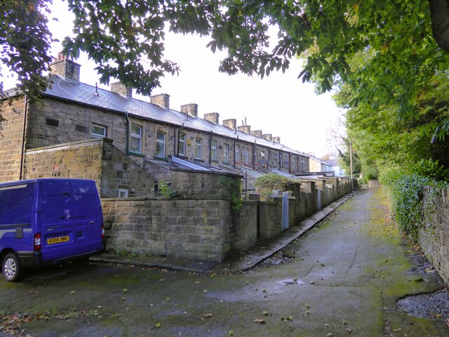
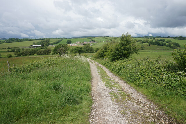
Bankcrofts Plantation is a picturesque woodland located in Lancashire, England. Situated near the town of Wood, this plantation covers a vast area and is known for its dense forest and diverse ecosystem. The woodland is accessible to the public and offers a tranquil escape from the hustle and bustle of city life.

The plantation is characterized by its tall, majestic trees, primarily consisting of oak, beech, and birch. These trees provide a habitat for a wide range of wildlife, including various species of birds, small mammals, and insects. The forest floor is covered in a lush carpet of ferns, mosses, and wildflowers, contributing to the plantation's overall beauty and serenity.

Bankcrofts Plantation offers several well-maintained walking trails, allowing visitors to explore the woodland and immerse themselves in nature. These trails wind through the forest, offering glimpses of enchanting clearings and meandering streams. The plantation is a popular destination for nature lovers, hikers, and birdwatchers, who appreciate the tranquility and natural beauty it offers.

Additionally, the plantation is a designated site of special scientific interest due to its unique flora and fauna. Conservation efforts are in place to protect and preserve the plantation's biodiversity, ensuring its sustainability for future generations to enjoy.

Overall, Bankcrofts Plantation is a stunning woodland in Lancashire, offering visitors a chance to reconnect with nature and experience the beauty of a thriving forest ecosystem.

If you have any feedback on the listing, please let us know in the comments section below.

Bankcrofts Plantation Images

Images are sourced within 2km of 53.801127/-2.30224 or Grid Reference SD8033. Thanks to Geograph Open Source API. All images are credited.

Straightened Leeds & Liverpool Canal The route of the M65 motorway required a new straight cut for the canal rather than a meander around a clough. It must have required major earthworks to keep a level contour on the new cut.
Straightened Leeds & Liverpool Canal
The route of the M65 motorway required a new straight cut for the canal rather than a meander around a clough. It must have required major earthworks to keep a level contour on the new cut.
Former railway bridge Spanning Green Brook and now used as a cycle route, the Padiham Greenway.
Former railway bridge
Spanning Green Brook and now used as a cycle route, the Padiham Greenway.
Cycle path following route of former railway The Padiham Greenway approaching the bridge across Park Road. Behind the camera is the fenced off viaduct that took the cycle path over the River Calder but is closed due to structural issues.
Cycle path following route of former railway
The Padiham Greenway approaching the bridge across Park Road. Behind the camera is the fenced off viaduct that took the cycle path over the River Calder but is closed due to structural issues.
Housing block On Moor Lane at the junction with Guy Street
Housing block
On Moor Lane at the junction with Guy Street
The back yards to terrace housing View of the rear of Bridge Street from a minor gateway to Memorial Park
The back yards to terrace housing
View of the rear of Bridge Street from a minor gateway to Memorial Park
Gawthorpe Hall, Padiham
Garden, Gawthorpe Hall, Padiham
Gawthorpe Hall, Padiham
Gawthorpe Hall The south facade
Gawthorpe Hall
The south facade
North Terrace At Gawthorpe Hall overlooking the River Calder
North Terrace
At Gawthorpe Hall overlooking the River Calder
Ornate Wall at Gawthorpe Hall
Gawthorpe Hall Gardens' Steps
Track near Hunters Oak The track is heading down towards the River Calder which flows from right to left in the valley.
Track near Hunters Oak
The track is heading down towards the River Calder which flows from right to left in the valley.
Gawthorpe Hall Gawthorpe Hall is owned by the National Trust and leased to Lancashire County Council.
Gawthorpe Hall
Gawthorpe Hall is owned by the National Trust and leased to Lancashire County Council.
Gawthorpe Hall Gawthorpe Hall is owned by the National Trust and leased to Lancashire County Council.
Gawthorpe Hall
Gawthorpe Hall is owned by the National Trust and leased to Lancashire County Council.
Dugdale Warehouse and Wharf An historic warehouse on the Leeds & Liverpool Canal at Rose Grove. Boaters' services are located on the wharf
Dugdale Warehouse and Wharf
An historic warehouse on the Leeds & Liverpool Canal at Rose Grove. Boaters' services are located on the wharf
Leeds and Liverpool Canal Approaching the historic Knotts Bridge No.123
Leeds and Liverpool Canal
Approaching the historic Knotts Bridge No.123
Padiham Road heading to Burnley
Show me another place!

Bankcrofts Plantation is located at Grid Ref: SD8033 (Lat: 53.801127, Lng: -2.30224)

Administrative County: Lancashire

District: Burnley

Police Authority: Lancashire

What 3 Words

///smart.uniform.jaundice. Near Padiham, Lancashire

Related Wikis

Great Barn, Ightenhill

Great Barn is an historic building in the English civil parish of Ightenhill, Lancashire. Built around 1605 about 100 metres (330 ft) west of Gawthorpe...

Shuttleworth College, Padiham

Shuttleworth College, formerly Gawthorpe High School, is a mixed 11–16 foundation secondary school located in Padiham, Lancashire, England. == History... ==
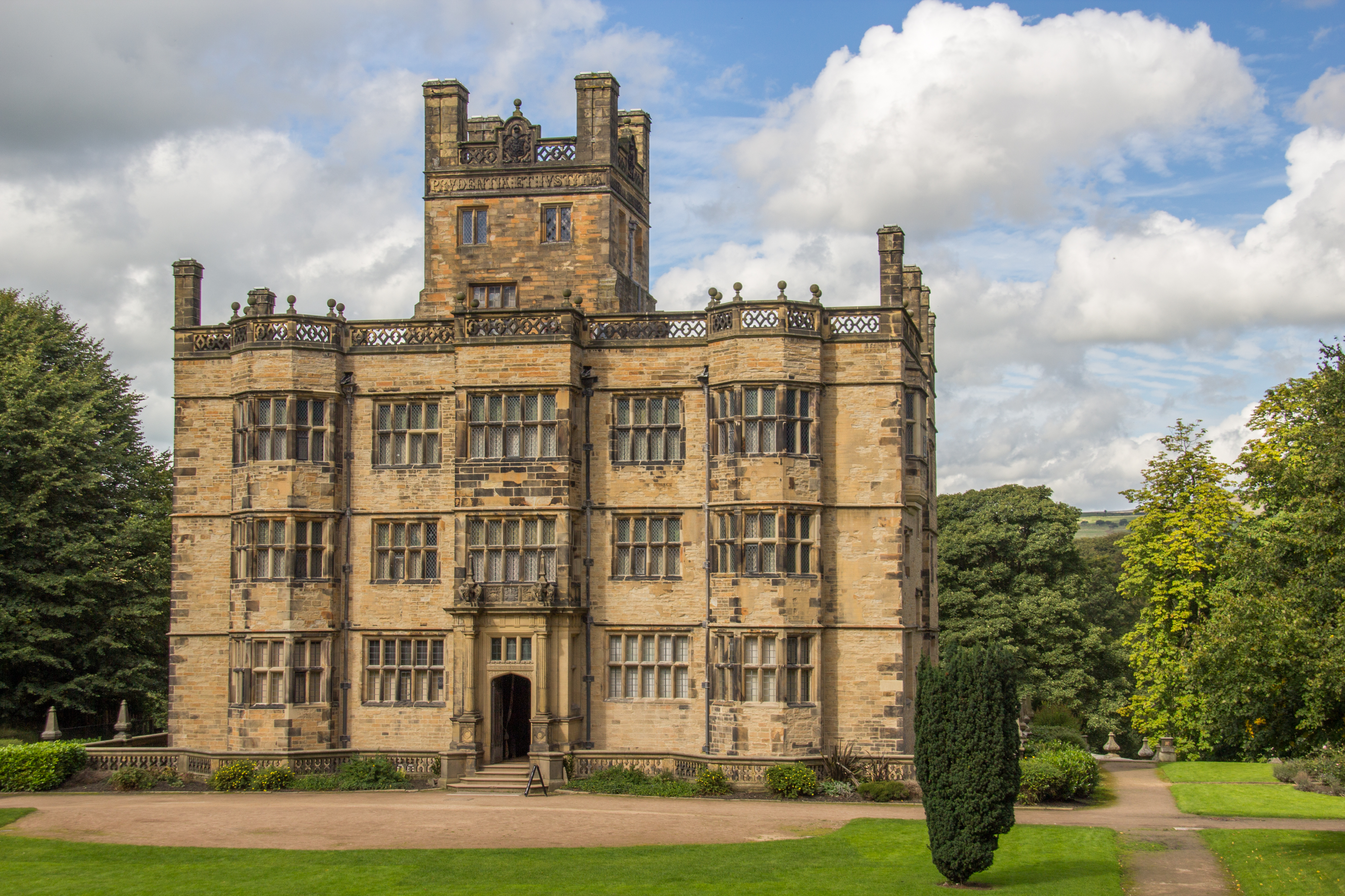
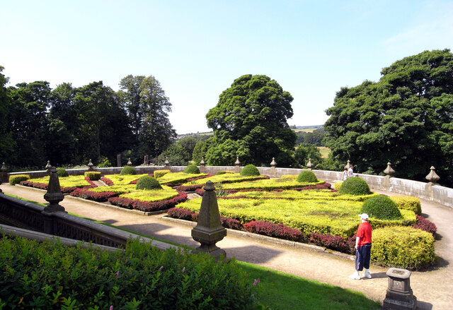
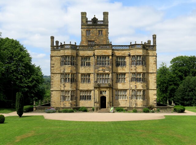
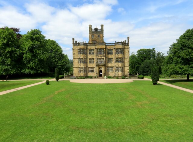
Gawthorpe Hall

Gawthorpe Hall is an Elizabethan country house on the banks of the River Calder, in Ightenhill, a civil parish in the Borough of Burnley, Lancashire, England...

Gawthorpe (ward)

Gawthorpe is an electoral ward in the non-metropolitan district of Burnley in Lancashire, England. The population of the Burnley Ward at the 2011 census...

Padiham

Padiham ( PAD-i-əm) is a market town and civil parish on the River Calder, in the Borough of Burnley in Lancashire, England. It is located north west of...

Padiham Town Hall

Padiham Town Hall is a municipal building in Burnley Road, Padiham, Lancashire, England. The town hall, which was the headquarters of Padiham Urban District...

Burnley High School

Burnley High School is a mixed secondary free school located in the town and Borough of Burnley, Lancashire, England. The school opened in September 2014...

Burnley Grammar School

Burnley Grammar School was latterly, a state-funded selective boys grammar school, situated in Byron Street in Burnley, Lancashire. However, during its...

Nearby Amenities

Located within 500m of 53.801127,-2.30224
Barrier: entrance
Lat/Long: 53.7978553/-2.3048179
Bus Stop
Victoria Road
Bus: yes
Public Transport: platform
Lat/Long: 53.7988536/-2.3086511
Bus Stop
Victoria Road
Bus: yes
Public Transport: platform
Lat/Long: 53.7988064/-2.3080493
Bus Stop
Milton Street
Bus: yes
Public Transport: platform
Lat/Long: 53.7975684/-2.3043088
Bus Stop
Milton Street
Bus: yes
Public Transport: platform
Lat/Long: 53.7970968/-2.3023687
Parking
Access: yes
Fee: no
Parking: surface
Lat/Long: 53.8019803/-2.2975053
Historic: yes
Lat/Long: 53.8022179/-2.2963913
Post Box
Post Box Type: pillar
Ref: BB12 17
Royal Cypher: EIIR
Royal Cypher Wikidata: Q33102113
Lat/Long: 53.7988219/-2.3086524
Crossing
Crossing: uncontrolled
Kerb: lowered
Tactile Paving: yes
Lat/Long: 53.7982782/-2.3062481
Crossing
Crossing: traffic_signals
Crossing Ref: toucan
Kerb: lowered
Tactile Paving: yes
Lat/Long: 53.798102/-2.3059207
Crossing
Crossing: traffic_signals
Crossing Ref: toucan
Kerb: lowered
Tactile Paving: yes
Lat/Long: 53.7972057/-2.302885
Crossing
Crossing: uncontrolled
Kerb: lowered
Lat/Long: 53.7969728/-2.3023703
Crossing
Crossing: uncontrolled
Kerb: lowered
Lat/Long: 53.7967645/-2.3016795
Crossing
Lat/Long: 53.801939/-2.2970474
The data included in this document is from www.openstreetmap.org. The data is made available under ODbL.

Have you been to Bankcrofts Plantation?

Leave your review of Bankcrofts Plantation below (or comments, questions and feedback).