Manston Copse

Wood, Forest in Dorset

England

Manston Copse

River Stour at Fiddleford Mill The weir pool below the mill race.
River Stour at Fiddleford Mill Credit: Des Blenkinsopp

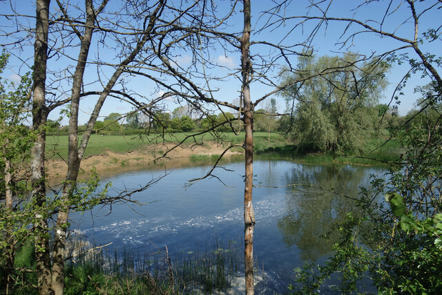
Manston Copse is a picturesque wood located in the county of Dorset, England. Situated near the village of Manston, it covers an area of approximately 30 hectares and is renowned for its natural beauty and diverse ecosystem. The copse is predominantly composed of broadleaf trees, including oak, beech, and ash, which create a dense canopy, providing shade and shelter for a variety of flora and fauna.

The forest floor is covered with a carpet of bluebells in the spring, creating a stunning display of vibrant colors. Alongside the bluebells, visitors can also find an array of other wildflowers, such as primroses and wood anemones. The copse is home to several species of birds, including woodpeckers, tits, and warblers, which can be heard singing melodiously throughout the day.

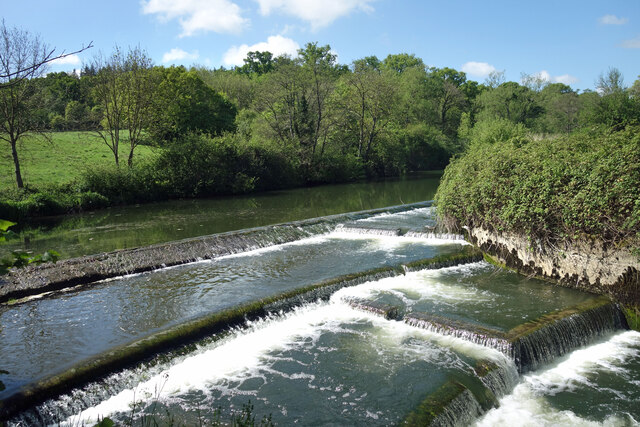
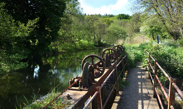
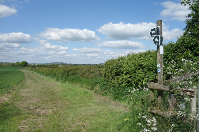
Manston Copse is intersected by a network of footpaths, which allows visitors to explore its natural wonders. A circular trail has been created, guiding hikers through the wood and offering breathtaking views of the surrounding countryside. The copse also features a picnic area, providing a tranquil spot for visitors to relax and enjoy the peaceful ambiance of the woodland.

Managed by the local authorities, Manston Copse is a designated Site of Special Scientific Interest (SSSI), reflecting its ecological significance. The wood is not only a haven for wildlife but also serves as an important carbon sink, contributing to the overall health of the environment.

Overall, Manston Copse is a cherished natural treasure in Dorset, offering visitors a chance to immerse themselves in the beauty of nature and experience the tranquility of a truly enchanting woodland setting.

If you have any feedback on the listing, please let us know in the comments section below.

Manston Copse Images

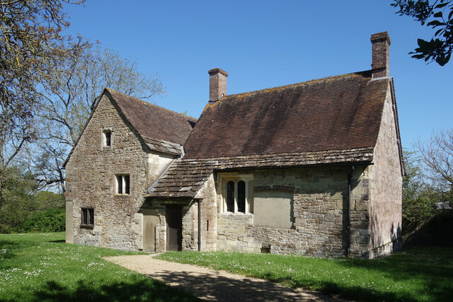
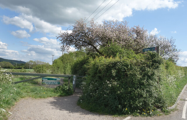
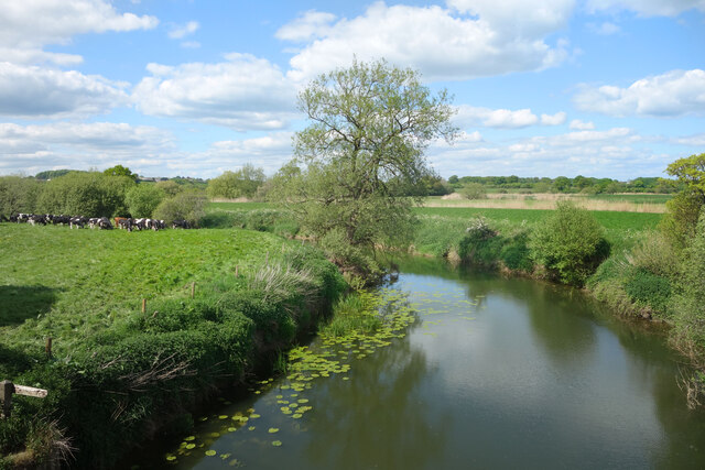
Images are sourced within 2km of 50.935515/-2.2832039 or Grid Reference ST8015. Thanks to Geograph Open Source API. All images are credited.

River Stour at Fiddleford Mill The weir pool below the mill race.
River Stour at Fiddleford Mill
The weir pool below the mill race.
Weir at Fiddleford Mill The main River Stour drops over the weir while the mill race continues off to the left.
Weir at Fiddleford Mill
The main River Stour drops over the weir while the mill race continues off to the left.
Sluice gear at Fiddleford Mill A bit rusty looking but seemingly still in working order these sluices control the weir between the mill stream and the main river.
Sluice gear at Fiddleford Mill
A bit rusty looking but seemingly still in working order these sluices control the weir between the mill stream and the main river.
Wildflowers on the steps, Fiddleford Mill A disused stairway on one of the outbuildings.
Wildflowers on the steps, Fiddleford Mill
A disused stairway on one of the outbuildings.
Fiddleford Manor Part of a  Manor House built for the Sheriff of Somerset & Dorset in about 1370.
This part of the building is in the care of English Heritage and is open to the public. Another range of buildings behind is still lived in and isn't open.
Fiddleford Manor
Part of a Manor House built for the Sheriff of Somerset & Dorset in about 1370. This part of the building is in the care of English Heritage and is open to the public. Another range of buildings behind is still lived in and isn't open.
Stour Valley Way near Hammoon The map and these signposts show the Stour Valley Way leaving the Trailway along the old rail route and diverting up to the hamlet of Hammoon about 1km to the north. Then it comes back again on the other side of the road and rejoins the Trailway about 250 metres further along.
The reason for this isn't clear as the Trailway is open all along anyway.
Stour Valley Way near Hammoon
The map and these signposts show the Stour Valley Way leaving the Trailway along the old rail route and diverting up to the hamlet of Hammoon about 1km to the north. Then it comes back again on the other side of the road and rejoins the Trailway about 250 metres further along. The reason for this isn't clear as the Trailway is open all along anyway.
Gate onto the Trailway Access from the lane to Hammoon onto the old railway track, now a footpath and cycleway.
Gate onto the Trailway
Access from the lane to Hammoon onto the old railway track, now a footpath and cycleway.
River Stour from the Trailway Bridge Along the old railway route east of Sturminster, now a cycleway.
River Stour from the Trailway Bridge
Along the old railway route east of Sturminster, now a cycleway.
Slightly Altered Weir Exactly the same spot as <a href="https://www.geograph.org.uk/photo/2324136">ST8013 : Pool at Fiddleford Weir</a> standing on the footbridge. This is 11 years later and some riffles have been added to the spillway, possibly to churn up the water a bit or make it easier for fish to get up.
Slightly Altered Weir
Exactly the same spot as ST8013 : Pool at Fiddleford Weir standing on the footbridge. This is 11 years later and some riffles have been added to the spillway, possibly to churn up the water a bit or make it easier for fish to get up.
A357 in Piddles Wood There is the end of a muddy lay-by on the left
A357 in Piddles Wood
There is the end of a muddy lay-by on the left
The Trailway near Fiddleford This pedestrian and cycle path follows the trackway of the Somerset and Dorset Joint Railway
The Trailway near Fiddleford
This pedestrian and cycle path follows the trackway of the Somerset and Dorset Joint Railway
Lone tree in a field north of the Trailway
Sewage works by the Trailway near Sturminster Newton
Field and woodland north of the Trailway, east of Sturminster Newton The woodland screens the sewage works
Field and woodland north of the Trailway, east of Sturminster Newton
The woodland screens the sewage works
Bridge on Trailway east of Sturminster Newton This pedestrian and cycle path follows the trackway of the Somerset and Dorset Joint Railway
Bridge on Trailway east of Sturminster Newton
This pedestrian and cycle path follows the trackway of the Somerset and Dorset Joint Railway
Muddy paths across field on edge of Sturminster Newton Several paths cross this field, convenient for walkers and dog-walkers from the nearby estates
Muddy paths across field on edge of Sturminster Newton
Several paths cross this field, convenient for walkers and dog-walkers from the nearby estates
A blocked footpath at Sturminster Newton The sign reads "Jubilee Path Station Road" with symbols of cycle and pedestrian; however the fence is an insuperable obstacle
A blocked footpath at Sturminster Newton
The sign reads "Jubilee Path Station Road" with symbols of cycle and pedestrian; however the fence is an insuperable obstacle
Park in Sturminster Newton The gates have the name: Somerset and Dorset Joint Railway
Park in Sturminster Newton
The gates have the name: Somerset and Dorset Joint Railway
Show me another place!

Manston Copse is located at Grid Ref: ST8015 (Lat: 50.935515, Lng: -2.2832039)

Unitary Authority: Dorset

Police Authority: Dorset

What 3 Words

///judge.swept.covertly. Near Sturminster Newton, Dorset

Nearby Locations

Manston Copse

Related Wikis

Sturminster Newton United F.C.

Sturminster Newton United Football Club is a football club based in Sturminster Newton, Dorset, England, currently playing in the Dorset Premier League...

Rixon, Dorset

Rixon is a village near Sturminster Newton in Dorset, England. The village's transport links are currently provided by Damory Coaches, services 369 between...

Manston, Dorset

Manston is a small village and civil parish in the county of Dorset in southern England, lying next to the River Stour in the Blackmore Vale, two miles...

Sturminster Newton High School

Sturminster Newton High School is a coeducational secondary school and sixth form located in Sturminster Newton in the English county of Dorset. ��2�...

Nearby Amenities

Located within 500m of 50.935515,-2.2832039
Power: pole
Lat/Long: 50.936356/-2.2863351
Power: pole
Lat/Long: 50.9361388/-2.2878733
Power: pole
Lat/Long: 50.9359343/-2.2894478
The data included in this document is from www.openstreetmap.org. The data is made available under ODbL.

Have you been to Manston Copse?

Leave your review of Manston Copse below (or comments, questions and feedback).