Big Wood

Wood, Forest in Staffordshire Stafford

England

Big Wood

Entering the small Hamlet of Sugnall The sign is showing the Sugnall walled kitchen garden to the left, which is part of the Sugnall Hall Estate.  see<span class="nowrap"><a title="http://www.sugnall.co.uk/history.html" rel="nofollow ugc noopener" href="http://www.sugnall.co.uk/history.html">Link</a><img style="margin-left:2px;" alt="External link" title="External link - shift click to open in new window" src="https://s1.geograph.org.uk/img/external.png" width="10" height="10"/></span>
Entering the small Hamlet of Sugnall Credit: Mick Malpass

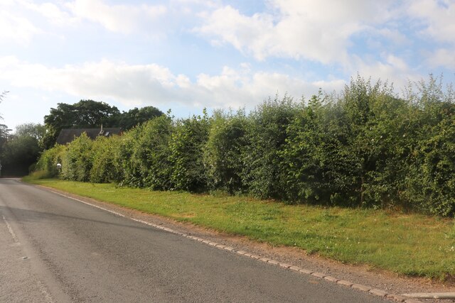
Big Wood is a large forested area located in the county of Staffordshire, England. Spanning over several hectares, it is a popular destination for nature enthusiasts and outdoor adventurers. The wood is characterized by its dense canopy of deciduous and coniferous trees, creating a picturesque and serene environment.

The forest is home to a diverse range of flora and fauna, providing a habitat for various species of plants, birds, mammals, and insects. Walking along the well-marked trails, visitors can spot oak, beech, birch, and pine trees, as well as wildflowers such as bluebells and primroses during the springtime.

Big Wood offers a multitude of recreational activities for visitors of all ages. Hiking and cycling trails wind through the forest, allowing for exploration and discovery of the area's natural beauty. There are also designated picnic areas and campsites for those who wish to spend more time surrounded by nature.

In addition to its natural attractions, Big Wood holds historical significance. It is believed to have been an ancient hunting ground and has remnants of historic structures like old stone walls and ruins. These traces of the past add an extra layer of intrigue to the woodland, inviting visitors to imagine its former uses and inhabitants.

Overall, Big Wood in Staffordshire is a captivating destination for anyone seeking tranquility and immersion in nature. Its vast expanse of trees, diverse wildlife, recreational opportunities, and historical elements make it a place of interest and enjoyment for locals and tourists alike.

If you have any feedback on the listing, please let us know in the comments section below.
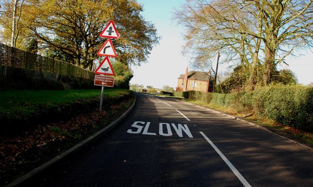
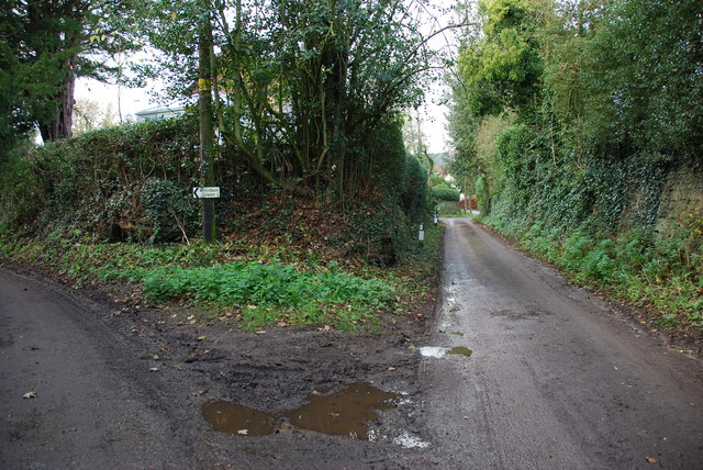
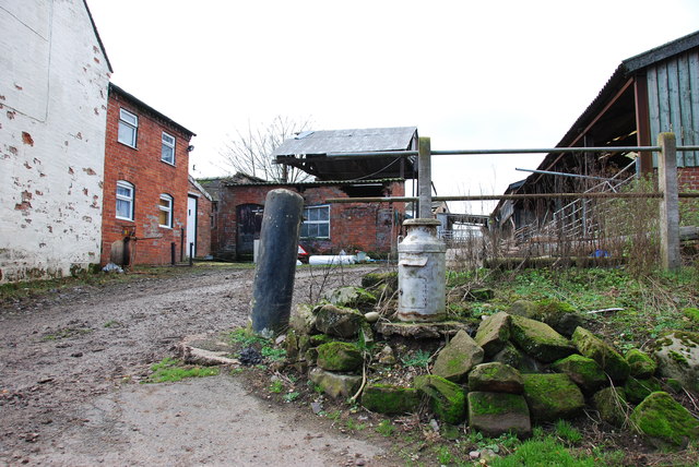
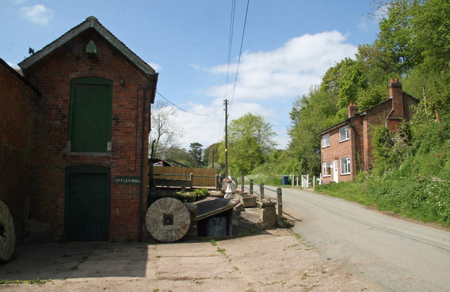
Big Wood Images

Images are sourced within 2km of 52.871587/-2.3065341 or Grid Reference SJ7930. Thanks to Geograph Open Source API. All images are credited.

Entering the small Hamlet of Sugnall The sign is showing the Sugnall walled kitchen garden to the left, which is part of the Sugnall Hall Estate.  see<span class="nowrap"><a title="http://www.sugnall.co.uk/history.html" rel="nofollow ugc noopener" href="http://www.sugnall.co.uk/history.html">Link</a><img style="margin-left:2px;" alt="External link" title="External link - shift click to open in new window" src="https://s1.geograph.org.uk/img/external.png" width="10" height="10"/></span>
Entering the small Hamlet of Sugnall
The sign is showing the Sugnall walled kitchen garden to the left, which is part of the Sugnall Hall Estate. seeLinkExternal link
Derelict Red Brick Stables at Sugnall
Pasture to the left of Sugnall Hall The main Hall is on the opposite side of the B5026 to the Walled Garden.  see<span class="nowrap"><a title="http://www.sugnall.co.uk/history.html" rel="nofollow ugc noopener" href="http://www.sugnall.co.uk/history.html">Link</a><img style="margin-left:2px;" alt="External link" title="External link - shift click to open in new window" src="https://s1.geograph.org.uk/img/external.png" width="10" height="10"/></span>
Pasture to the left of Sugnall Hall
The main Hall is on the opposite side of the B5026 to the Walled Garden. seeLinkExternal link
Outbuildings for Sugnall Hall
The B5026 on its way to Sugnall
Storage Yard for Farm Implements in Croxton
Side Streets in Croxton The lane straight on rejoins the B5026 just outside the village, the lane to the left goes to Woodwall Green.
Side Streets in Croxton
The lane straight on rejoins the B5026 just outside the village, the lane to the left goes to Woodwall Green.
Small Farm in Croxton This farm has a very inventive post box, it is an old milk churn, with a waterproof slot near the top, and a door has been cut lower down to enable the post to be removed.
Small Farm in Croxton
This farm has a very inventive post box, it is an old milk churn, with a waterproof slot near the top, and a door has been cut lower down to enable the post to be removed.
Country Lane near Croxton
Road from Woodwall Green to Croxton
House on the crossroads in Croxton
Offley Brook Mill A commercially working watermill with two wheels and an auxiliary diesel alternator set. The mill house is opposite. This is a very rural location.
Offley Brook Mill
A commercially working watermill with two wheels and an auxiliary diesel alternator set. The mill house is opposite. This is a very rural location.
Old house on the corner of Chester Road, Sugnall
Farm equipment by Eccleshall Road, Croxton
Eccleshall Road, Croxton
Detached house on Eccleshall Road, Croxton
Junction on Eccleshall Road, Croxton Looking towards Windmill Lane.
Junction on Eccleshall Road, Croxton
Looking towards Windmill Lane.
Show me another place!

Big Wood is located at Grid Ref: SJ7930 (Lat: 52.871587, Lng: -2.3065341)

Administrative County: Staffordshire

District: Stafford

Police Authority: Staffordshire

What 3 Words

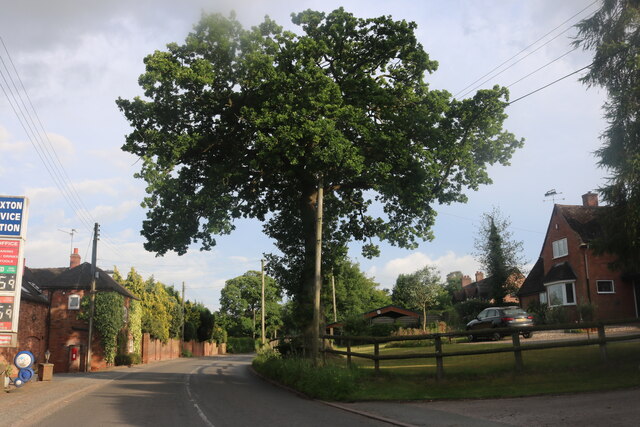
///warned.minute.yours. Near Eccleshall, Staffordshire

Related Wikis

Jackson's Coppice and Marsh

Jackson's Coppice and Marsh is a nature reserve of the Staffordshire Wildlife Trust. It is along the River Sow, near the village of Bishop's Offley and...

Cop Mere

Cop Mere is one of the largest natural bodies of water in Staffordshire, England, covering 42 acres (17 ha). It has been designated a SSSI as an oligotrophic...

Offleyhay

Offleyhay is a village in Staffordshire, England. The population as taken at the 2011 census can be found under Eccleshall. == References ==

Croxton, Staffordshire

Croxton is a village on the B5026 between Eccleshall and Loggerheads. Population details for the 2011 census can be found under Eccleshall. It is notable...

Eccleshall F.C.

Eccleshall Football Club is a football club based in Eccleshall, Staffordshire, England. They are currently members of the North West Counties League Division...

Outlands, Staffordshire

Outlands is a hamlet in the English county of Staffordshire. It lies 1 km eas of Bishop's Offley. == External links == Map sources for Outlands, Staffordshire

Copmere End

Copmere End is a small settlement in Staffordshire, England. It is 2 kilometres (1 mi) west of Eccleshall where the population taken for the 2011 census...

Armsdale

Armsdale is a village in Staffordshire, England. Population details for the 2011 census can be found under Eccleshall.

Nearby Amenities

Located within 500m of 52.871587,-2.3065341
Power: pole
Lat/Long: 52.8690222/-2.3125189
Power: pole
Lat/Long: 52.8683676/-2.3116223
The data included in this document is from www.openstreetmap.org. The data is made available under ODbL.

Have you been to Big Wood?

Leave your review of Big Wood below (or comments, questions and feedback).