Dales Wood

Wood, Forest in Staffordshire Stafford

England

Dales Wood

Entering the small Hamlet of Sugnall The sign is showing the Sugnall walled kitchen garden to the left, which is part of the Sugnall Hall Estate.  see<span class="nowrap"><a title="http://www.sugnall.co.uk/history.html" rel="nofollow ugc noopener" href="http://www.sugnall.co.uk/history.html">Link</a><img style="margin-left:2px;" alt="External link" title="External link - shift click to open in new window" src="https://s1.geograph.org.uk/img/external.png" width="10" height="10"/></span>
Entering the small Hamlet of Sugnall Credit: Mick Malpass

Dales Wood is a picturesque forest located in the county of Staffordshire, England. It covers an area of approximately 200 acres and is known for its natural beauty and diverse wildlife. The wood is situated near the town of Uttoxeter and is easily accessible for visitors.

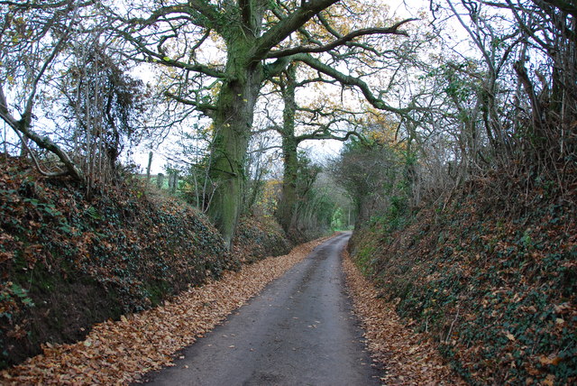
Upon entering Dales Wood, visitors are greeted by a serene and tranquil atmosphere. The dense canopy of trees provides ample shade, making it an ideal place for a peaceful walk or picnic. The forest is predominantly made up of broadleaf trees, such as oak, beech, and ash, which add to its aesthetic appeal.

Dales Wood is not only a haven for nature enthusiasts but also a habitat for a wide range of wildlife. It is home to various bird species, including woodpeckers, owls, and songbirds, making it a popular spot for birdwatching. Small mammals like squirrels, foxes, and rabbits can also be spotted amidst the trees.

The wood is crisscrossed by a network of well-maintained footpaths, allowing visitors to explore its different sections and enjoy the natural beauty from different perspectives. There are also designated picnic areas and benches, providing opportunities for visitors to relax and admire the surroundings.

Dales Wood is managed by the local authorities, who ensure its preservation and conservation. They organize educational programs and guided walks to raise awareness about the importance of forests and the need to protect them. The wood is open to the public year-round, and there is no entrance fee, making it an accessible and enjoyable destination for nature lovers of all ages.

If you have any feedback on the listing, please let us know in the comments section below.
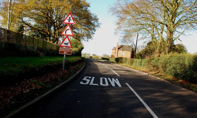
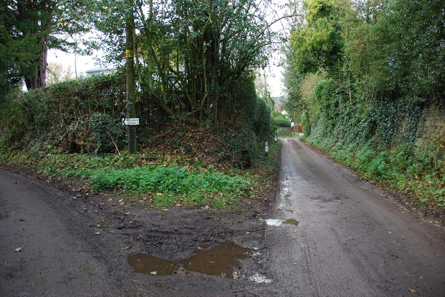
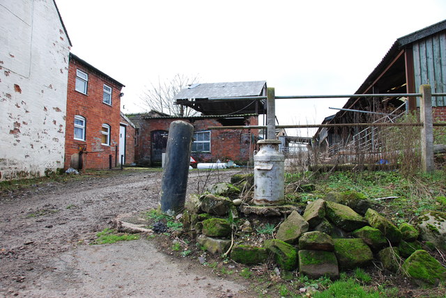
Dales Wood Images

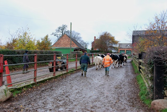
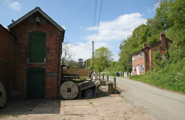
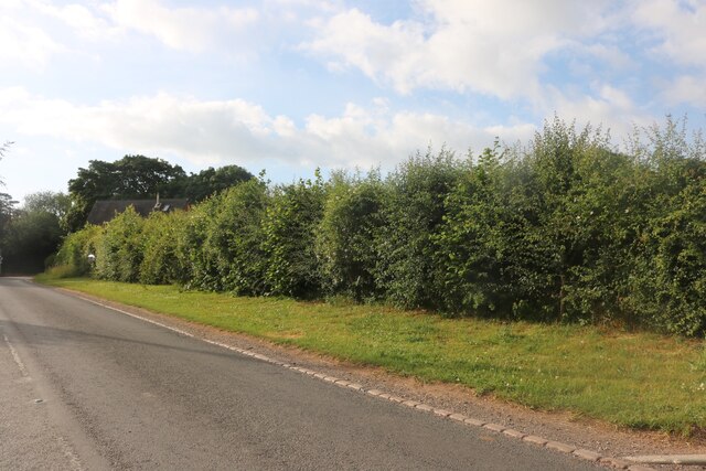
Images are sourced within 2km of 52.87454/-2.3083676 or Grid Reference SJ7930. Thanks to Geograph Open Source API. All images are credited.

Entering the small Hamlet of Sugnall The sign is showing the Sugnall walled kitchen garden to the left, which is part of the Sugnall Hall Estate.  see<span class="nowrap"><a title="http://www.sugnall.co.uk/history.html" rel="nofollow ugc noopener" href="http://www.sugnall.co.uk/history.html">Link</a><img style="margin-left:2px;" alt="External link" title="External link - shift click to open in new window" src="https://s1.geograph.org.uk/img/external.png" width="10" height="10"/></span>
Entering the small Hamlet of Sugnall
The sign is showing the Sugnall walled kitchen garden to the left, which is part of the Sugnall Hall Estate. seeLinkExternal link
Derelict Red Brick Stables at Sugnall
Pasture to the left of Sugnall Hall The main Hall is on the opposite side of the B5026 to the Walled Garden.  see<span class="nowrap"><a title="http://www.sugnall.co.uk/history.html" rel="nofollow ugc noopener" href="http://www.sugnall.co.uk/history.html">Link</a><img style="margin-left:2px;" alt="External link" title="External link - shift click to open in new window" src="https://s1.geograph.org.uk/img/external.png" width="10" height="10"/></span>
Pasture to the left of Sugnall Hall
The main Hall is on the opposite side of the B5026 to the Walled Garden. seeLinkExternal link
Outbuildings for Sugnall Hall
The B5026 on its way to Sugnall
Storage Yard for Farm Implements in Croxton
Side Streets in Croxton The lane straight on rejoins the B5026 just outside the village, the lane to the left goes to Woodwall Green.
Side Streets in Croxton
The lane straight on rejoins the B5026 just outside the village, the lane to the left goes to Woodwall Green.
Small Farm in Croxton This farm has a very inventive post box, it is an old milk churn, with a waterproof slot near the top, and a door has been cut lower down to enable the post to be removed.
Small Farm in Croxton
This farm has a very inventive post box, it is an old milk churn, with a waterproof slot near the top, and a door has been cut lower down to enable the post to be removed.
Country Lane near Croxton
Narrow Lane heading towards Newhouse Farm The lanes round here don't seem to get much wider, but at least they are not getting narrower. They must be rough when there is snow about.
Narrow Lane heading towards Newhouse Farm
The lanes round here don't seem to get much wider, but at least they are not getting narrower. They must be rough when there is snow about.
Cattle Drive English Style at Newhouse Farm These young cattle were being brought back to the farm, from a field down the lane.
Cattle Drive English Style at Newhouse Farm
These young cattle were being brought back to the farm, from a field down the lane.
Rowley House Farm This is a wonderful old red brick barn, that has had quite a few alterations done to it over the years.
Rowley House Farm
This is a wonderful old red brick barn, that has had quite a few alterations done to it over the years.
Road from Woodwall Green to Croxton
House on the crossroads in Croxton
Offley Brook Mill A commercially working watermill with two wheels and an auxiliary diesel alternator set. The mill house is opposite. This is a very rural location.
Offley Brook Mill
A commercially working watermill with two wheels and an auxiliary diesel alternator set. The mill house is opposite. This is a very rural location.
Old house on the corner of Chester Road, Sugnall
Farm equipment by Eccleshall Road, Croxton
Eccleshall Road, Croxton
Show me another place!

Dales Wood is located at Grid Ref: SJ7930 (Lat: 52.87454, Lng: -2.3083676)

Administrative County: Staffordshire

District: Stafford

Police Authority: Staffordshire

What 3 Words

///driver.ordeals.irritable. Near Eccleshall, Staffordshire

Related Wikis

Jackson's Coppice and Marsh

Jackson's Coppice and Marsh is a nature reserve of the Staffordshire Wildlife Trust. It is along the River Sow, near the village of Bishop's Offley and...

Croxton, Staffordshire

Croxton is a village on the B5026 between Eccleshall and Loggerheads. Population details for the 2011 census can be found under Eccleshall. It is notable...

Cop Mere

Cop Mere is one of the largest natural bodies of water in Staffordshire, England, covering 42 acres (17 ha). It has been designated a SSSI as an oligotrophic...

Offleyhay

Offleyhay is a village in Staffordshire, England. The population as taken at the 2011 census can be found under Eccleshall. == References ==

Nearby Amenities

Located within 500m of 52.87454,-2.3083676
Sugnall Nursery
Naptan AtcoCode: 3800C713701
Naptan Bearing: NW
Naptan BusStopType: CUS
Naptan CommonName: Sugnall Nursery
Naptan Indicator: Adj
Naptan Landmark: Nursery
Naptan Street: Chester Rd
Naptan Verified: no
Source: naptan_import
Lat/Long: 52.8753446/-2.3013216
The data included in this document is from www.openstreetmap.org. The data is made available under ODbL.

Have you been to Dales Wood?

Leave your review of Dales Wood below (or comments, questions and feedback).