Gully Wood
Wood, Forest in Somerset
England
Gully Wood

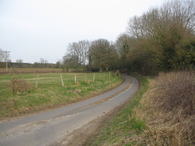
Gully Wood is a picturesque forest located in Somerset, England. Covering an area of approximately 100 acres, it is known for its stunning natural beauty and diverse wildlife. The wood is situated in the heart of the county, just a short distance from the charming village of Somerset.
Gully Wood is primarily made up of a mix of deciduous and coniferous trees, creating a vibrant and lush environment. The canopy of the forest provides a cool shade during summer months and a burst of vibrant colors during the autumn season.
The forest is crisscrossed by a network of well-maintained trails, allowing visitors to explore and immerse themselves in the tranquil surroundings. These trails cater to all levels of fitness and provide access to various points of interest within the wood, such as hidden streams and secluded picnic spots.
One of the highlights of Gully Wood is its diverse wildlife. The forest is home to a wide range of species, including deer, rabbits, foxes, and numerous species of birds. Nature enthusiasts and birdwatchers flock to the wood to catch a glimpse of these creatures in their natural habitat.
Gully Wood offers a sanctuary for those seeking solace and a connection with nature. With its enchanting ambiance and natural wonders, it is a popular destination for hikers, families, and nature lovers alike. Whether one is seeking a peaceful stroll or an immersive wildlife experience, Gully Wood has something to offer for everyone.
If you have any feedback on the listing, please let us know in the comments section below.
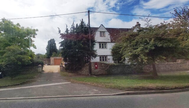
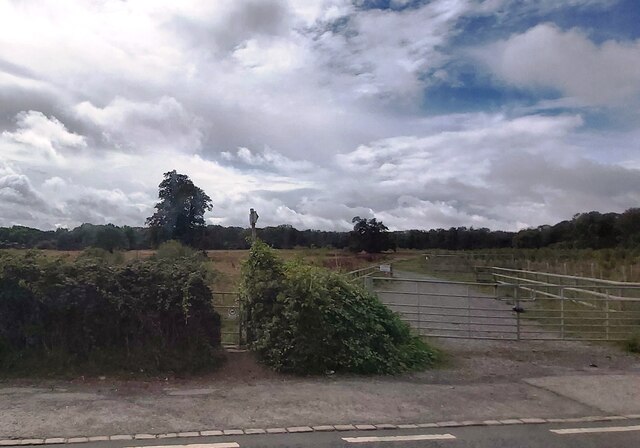
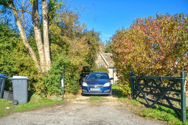
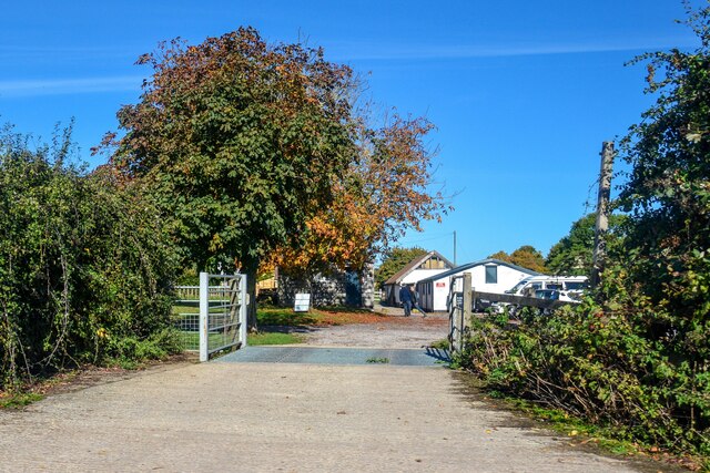
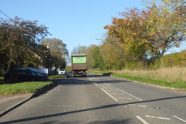
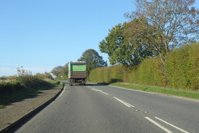
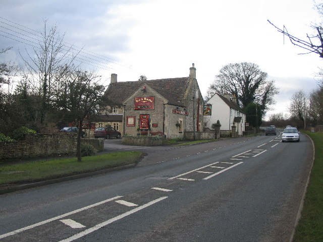
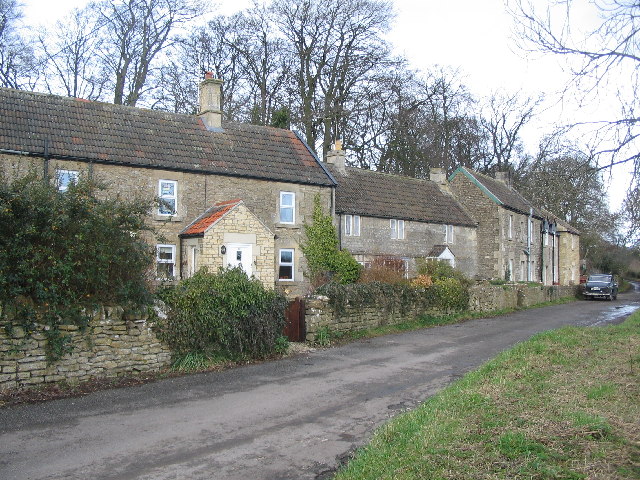
Gully Wood Images
Images are sourced within 2km of 51.384726/-2.2988171 or Grid Reference ST7965. Thanks to Geograph Open Source API. All images are credited.


Gully Wood is located at Grid Ref: ST7965 (Lat: 51.384726, Lng: -2.2988171)
Unitary Authority: Bath and North East Somerset
Police Authority: Avon and Somerset
What 3 Words
///pints.amount.desk. Near Monkton Farleigh, Wiltshire
Nearby Locations
Related Wikis

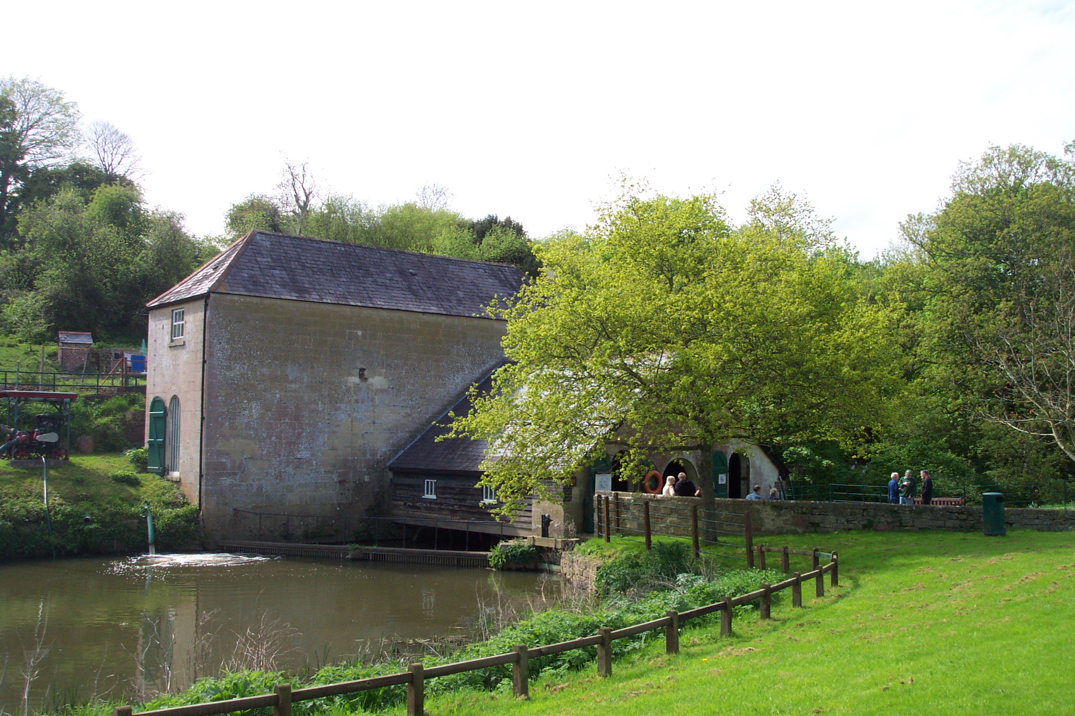
Claverton Pumping Station
Claverton Pumping Station in the village of Claverton, in the English county of Somerset, pumps water from the River Avon to the Kennet and Avon Canal...

Warleigh Weir
Warleigh Weir is a river structure at Warleigh on the River Avon in Somerset, England, upstream from the city of Bath. The weir was originally built to...

Browne's Folly (tower)
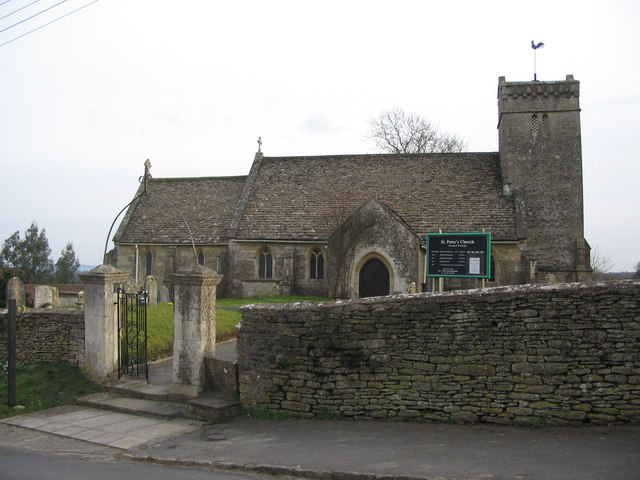
Browne's Folly is a folly tower on the Farleigh Rise near the village of Bathford in Somerset, England. The Folly was designated a Grade II listed building...

Browne's Folly
Browne's Folly or Brown's Folly (grid reference ST793662) is a folly tower sitting within a 39.9 hectare biological and geological Site of Special Scientific...

Kennet and Avon Canal
The Kennet and Avon Canal is a waterway in southern England with an overall length of 87 miles (140 km), made up of two lengths of navigable river linked...
Claverton, Somerset
Claverton is a small village and civil parish about 2 miles (3 km) east of Bath at the southern end of the Cotswolds Area of Outstanding Natural Beauty...
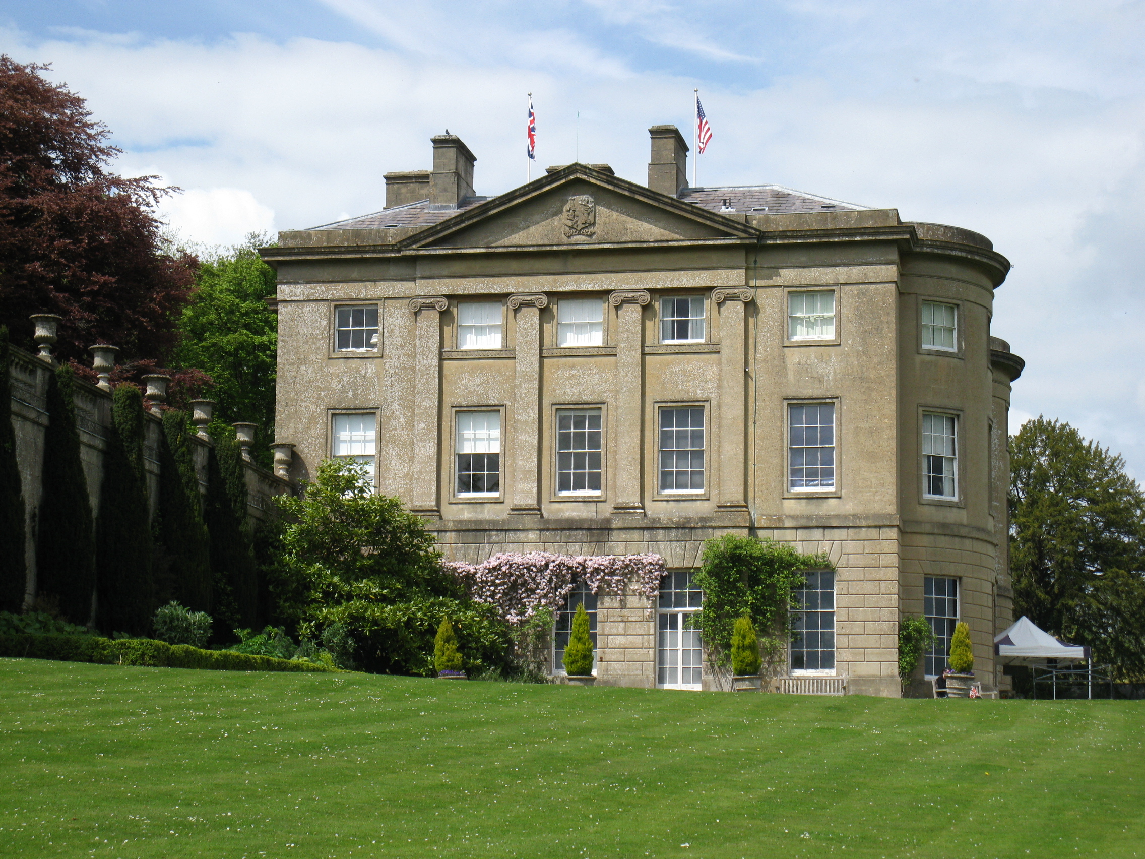
American Museum and Gardens
The American Museum and Gardens (formerly American Museum in Britain) is a museum of American art and culture based at Claverton, near Bath, England. Its...

Monkton Farleigh
Monkton Farleigh is a village and civil parish in west Wiltshire, England, on high ground 3 miles (5 km) northwest of Bradford-on-Avon, and a similar distance...
Nearby Amenities
Located within 500m of 51.384726,-2.2988171Have you been to Gully Wood?
Leave your review of Gully Wood below (or comments, questions and feedback).