Farleigh Down Plantation

Wood, Forest in Wiltshire

England

Farleigh Down Plantation

Old Milestone, High Street, Bathford Hill The milestone is located on the wide bank beside trees on the south side of the road. Parish of Bathford (Bath and North East Somerset District). Metal plate attached to stone post, Bath incised iron plate Erected by the Bath turnpike trust in the 19th century.

The replacement plate was fitted by Bath and North East Somerset council in 2007.

Inscription reads:-
To / BATH / 4

Grade II Listed, List Entry Number: 1115291
<span class="nowrap"><a title="https://historicengland.org.uk/listing/the-list/list-entry/1115291" rel="nofollow ugc noopener" href="https://historicengland.org.uk/listing/the-list/list-entry/1115291">Link</a><img style="margin-left:2px;" alt="External link" title="External link - shift click to open in new window" src="https://s1.geograph.org.uk/img/external.png" width="10" height="10"/></span>


Milestone Society National ID: SO_BAKD04
Old Milestone, High Street, Bathford Hill Credit: Janet Dowding

Farleigh Down Plantation is a picturesque woodland located in the county of Wiltshire, England. Situated just outside the village of Farleigh Hungerford, this captivating forest covers an area of approximately 200 acres. The plantation is known for its diverse range of tree species, including oak, beech, ash, and conifers, creating an enchanting landscape that is both visually stunning and ecologically rich.

The plantation has a long history, with records dating back to the 18th century. It has been managed as a working woodland for several generations, with sustainable practices ensuring the preservation of its natural beauty. The trees are selectively harvested to maintain a healthy ecosystem and to provide a sustainable supply of timber.

Farleigh Down Plantation is a haven for wildlife. The varied habitats within the woodland support a diverse range of animal species, including deer, badgers, foxes, and a multitude of bird species. Nature enthusiasts can enjoy birdwatching, as the plantation is home to several resident and migratory birds.

The woodland also offers a network of walking trails, allowing visitors to explore its serene surroundings. Whether it is a leisurely stroll or a more challenging hike, the plantation provides a tranquil escape from the bustle of everyday life. The trails wind through the lush greenery, offering glimpses of wildflowers, babbling brooks, and ancient trees.

Farleigh Down Plantation is a cherished natural gem in Wiltshire, offering a peaceful retreat for nature lovers and a glimpse into the rich biodiversity of the region.

If you have any feedback on the listing, please let us know in the comments section below.

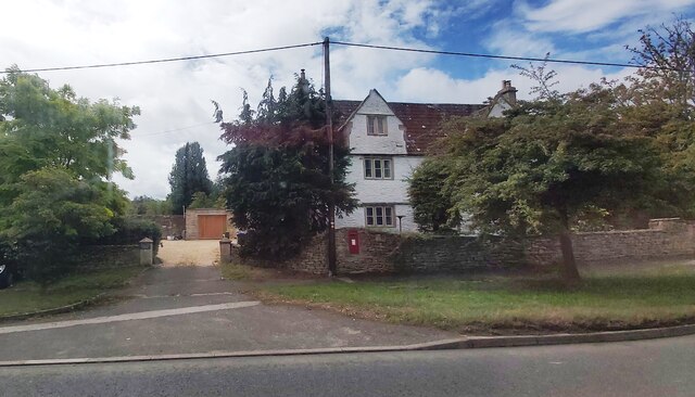
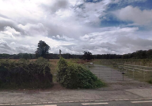
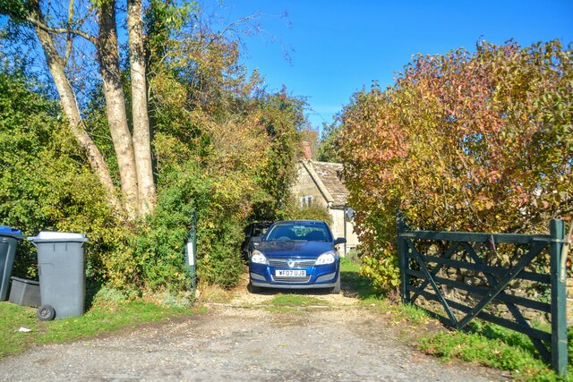
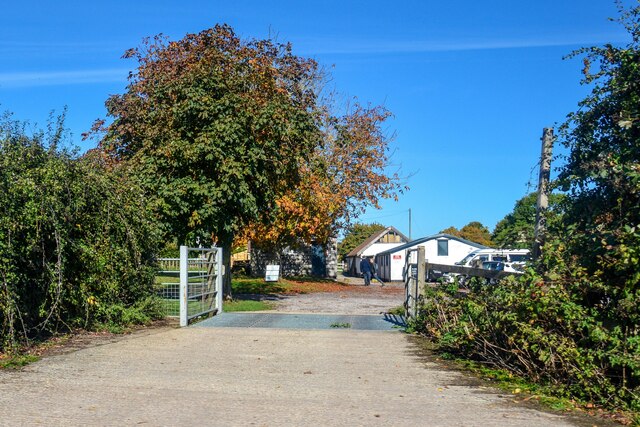
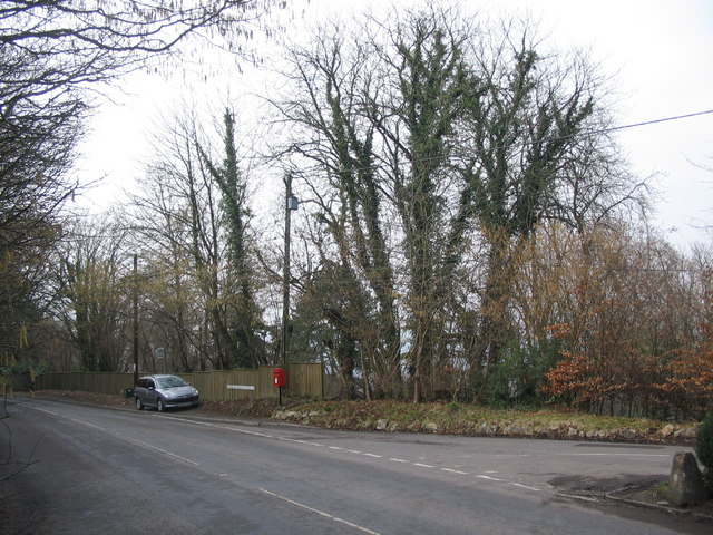
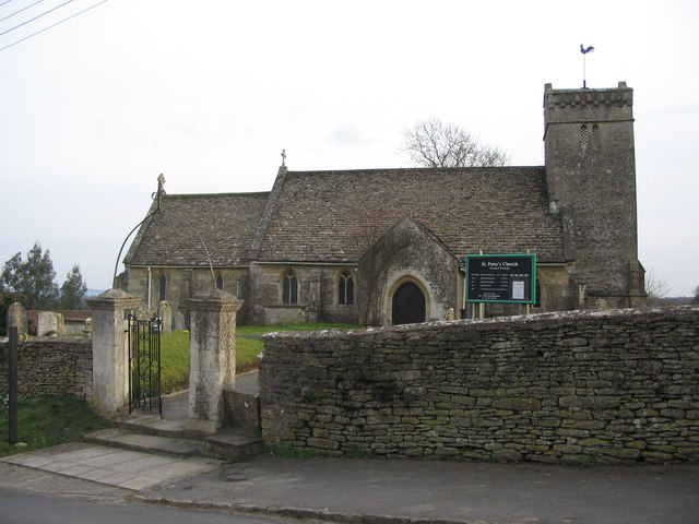
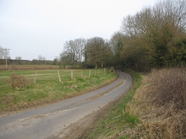
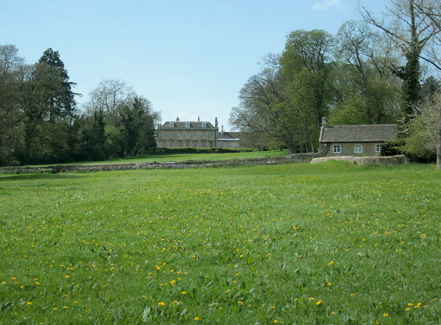
Farleigh Down Plantation Images

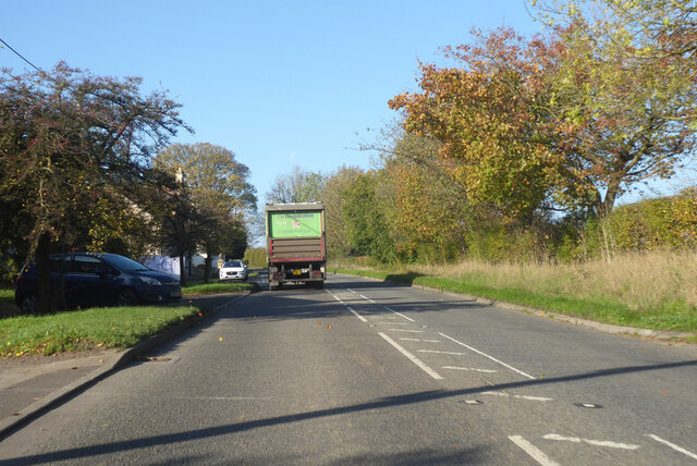
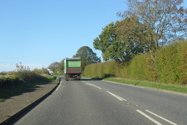
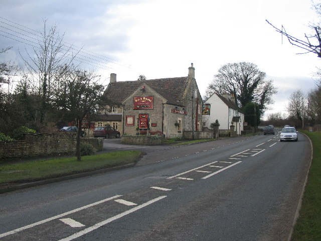
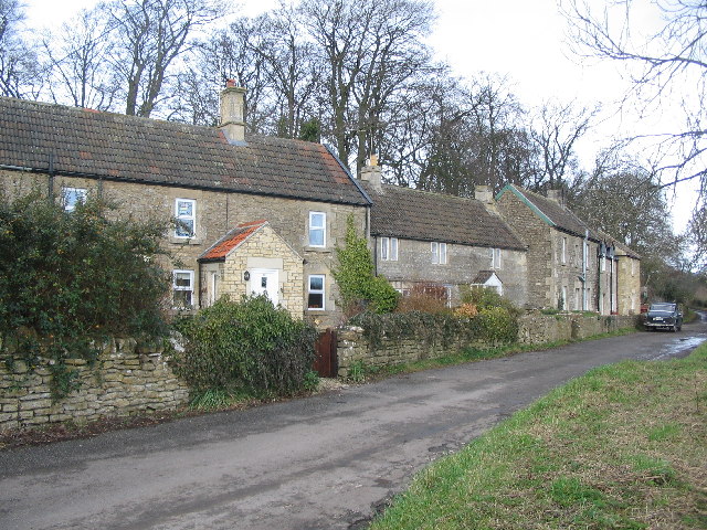
Images are sourced within 2km of 51.38788/-2.2961215 or Grid Reference ST7965. Thanks to Geograph Open Source API. All images are credited.

Old Milestone, High Street, Bathford Hill The milestone is located on the wide bank beside trees on the south side of the road. Parish of Bathford (Bath and North East Somerset District). Metal plate attached to stone post, Bath incised iron plate Erected by the Bath turnpike trust in the 19th century.

The replacement plate was fitted by Bath and North East Somerset council in 2007.

Inscription reads:-
To / BATH / 4

Grade II Listed, List Entry Number: 1115291
<span class="nowrap"><a title="https://historicengland.org.uk/listing/the-list/list-entry/1115291" rel="nofollow ugc noopener" href="https://historicengland.org.uk/listing/the-list/list-entry/1115291">Link</a><img style="margin-left:2px;" alt="External link" title="External link - shift click to open in new window" src="https://s1.geograph.org.uk/img/external.png" width="10" height="10"/></span>


Milestone Society National ID: SO_BAKD04
Old Milestone, High Street, Bathford Hill
The milestone is located on the wide bank beside trees on the south side of the road. Parish of Bathford (Bath and North East Somerset District). Metal plate attached to stone post, Bath incised iron plate Erected by the Bath turnpike trust in the 19th century. The replacement plate was fitted by Bath and North East Somerset council in 2007. Inscription reads:- To / BATH / 4 Grade II Listed, List Entry Number: 1115291 LinkExternal link Milestone Society National ID: SO_BAKD04
House at Farleigh Wick
Gated Footpath near Farleigh Wick
Monkton Farleigh : Farleigh Wick A house off Bath Road.
Monkton Farleigh : Farleigh Wick
A house off Bath Road.
Monkton Farleigh : Equine Centre An equine centre off Bath Road.
Monkton Farleigh : Equine Centre
An equine centre off Bath Road.
A363, Farleigh Wick Towards Bath.
A363, Farleigh Wick
Towards Bath.
A363 towards Bath
A363 towards Bath
Farleigh Wick A view looking northwest along the A363 from the entrance to Hays Wood Farm.
Farleigh Wick
A view looking northwest along the A363 from the entrance to Hays Wood Farm.
Cottages at  Pinckney Green A view looking northeast along the local access road at Pinckney Green.
Cottages at Pinckney Green
A view looking northeast along the local access road at Pinckney Green.
Lower Kingsdown Road A view looking west down the hill from Kingsdown to Bathampton, at the junction with Lower Kingsdown Road (right)
Lower Kingsdown Road
A view looking west down the hill from Kingsdown to Bathampton, at the junction with Lower Kingsdown Road (right)
St. Peters, Monkton Farleigh A view looking south to the gate and stile at the entrance to the churchyard of St. Peters church.
St. Peters, Monkton Farleigh
A view looking south to the gate and stile at the entrance to the churchyard of St. Peters church.
Farmland near Monkton Farleigh A view looking north over farmland towards Kingsdown, from the minor road between Monkton Farleigh and South Wraxall. There were two pheasants in the hedgerow but the camera delay meant only one is visible in the photo.
Farmland near Monkton Farleigh
A view looking north over farmland towards Kingsdown, from the minor road between Monkton Farleigh and South Wraxall. There were two pheasants in the hedgerow but the camera delay meant only one is visible in the photo.
Country lane near Monkton Farleigh A view looking east along the lane between Monkton Farleigh and South Wraxall.
Country lane near Monkton Farleigh
A view looking east along the lane between Monkton Farleigh and South Wraxall.
14 District This photo shows part of 14 District in the ammunition depot at Farleigh. Converted from a Bath Stone Quarry during the mid to late 1930's this was to become until the early 1960's the largest underground ammunition storage facility totaling 80 acres with approx 1,250,000 sq ft of storage. After closure it fell into disrepair and was badly vandalized. In 1984 it was opened as a museum which we ran successfully until 1990 when a property developer purchased the site from the owners, went bankrupt and let the site fall into very bad condition until part of the workings was taken over and is now used for secure storage.
14 District
This photo shows part of 14 District in the ammunition depot at Farleigh. Converted from a Bath Stone Quarry during the mid to late 1930's this was to become until the early 1960's the largest underground ammunition storage facility totaling 80 acres with approx 1,250,000 sq ft of storage. After closure it fell into disrepair and was badly vandalized. In 1984 it was opened as a museum which we ran successfully until 1990 when a property developer purchased the site from the owners, went bankrupt and let the site fall into very bad condition until part of the workings was taken over and is now used for secure storage.
2007 : Hays Wood Farm
2008 : North east of Monkton Farleigh Looking east from a field gate near Manor Farm.
2008 : North east of Monkton Farleigh
Looking east from a field gate near Manor Farm.
2008 : Lower Kingsdown Road The post box appearing in <a href="https://www.geograph.org.uk/photo/137468">ST8066 : Lower Kingsdown Road</a> is visible where Lower Kingsdown Road joins the road from Bathford.
2008 : Lower Kingsdown Road
The post box appearing in ST8066 : Lower Kingsdown Road is visible where Lower Kingsdown Road joins the road from Bathford.
2008 : Monkton Farleigh crossroads This is the nearest thing to a crossroads in Monkton Farleigh. The road behind us goes to Wraxall, follow the road ahead and you get to Bathford, left leads to the A363 and the road to the right wanders around a bit then gets to Kingsdown.
For one of the more interesting village websites see: <span class="nowrap"><a title="http://www.britinfo.net/index_Monkton_Farleigh.htm" rel="nofollow ugc noopener" href="http://www.britinfo.net/index_Monkton_Farleigh.htm">Link</a><img style="margin-left:2px;" alt="External link" title="External link - shift click to open in new window" src="https://s1.geograph.org.uk/img/external.png" width="10" height="10"/></span>
2008 : Monkton Farleigh crossroads
This is the nearest thing to a crossroads in Monkton Farleigh. The road behind us goes to Wraxall, follow the road ahead and you get to Bathford, left leads to the A363 and the road to the right wanders around a bit then gets to Kingsdown. For one of the more interesting village websites see: LinkExternal link
Show me another place!

Farleigh Down Plantation is located at Grid Ref: ST7965 (Lat: 51.38788, Lng: -2.2961215)

Unitary Authority: Wiltshire

Police Authority: Wiltshire

What 3 Words

///expand.vague.limes. Near Monkton Farleigh, Wiltshire

Related Wikis

Browne's Folly (tower)

Browne's Folly is a folly tower on the Farleigh Rise near the village of Bathford in Somerset, England. The Folly was designated a Grade II listed building...

Browne's Folly

Browne's Folly or Brown's Folly (grid reference ST793662) is a folly tower sitting within a 39.9 hectare biological and geological Site of Special Scientific...

Monkton Farleigh

Monkton Farleigh is a village and civil parish in west Wiltshire, England, on high ground 3 miles (5 km) northwest of Bradford-on-Avon, and a similar distance...

Monkton Farleigh Manor

Monkton Farleigh Manor is a Grade I listed country house close to the village of Monkton Farleigh in Wiltshire, England. Built on the site of a Cluniac...

Monkton Farleigh Priory

The Priory of St Mary Magdalene was a Cluniac priory in Monkton Farleigh, Wiltshire, England, in the 12th to 16th centuries. The priory was founded soon...

Claverton Pumping Station

Claverton Pumping Station in the village of Claverton, in the English county of Somerset, pumps water from the River Avon to the Kennet and Avon Canal...

Warleigh Weir

Warleigh Weir is a river structure at Warleigh on the River Avon in Somerset, England, upstream from the city of Bath. The weir was originally built to...

Kennet and Avon Canal

The Kennet and Avon Canal is a waterway in southern England with an overall length of 87 miles (140 km), made up of two lengths of navigable river linked...

Nearby Amenities

Located within 500m of 51.38788,-2.2961215
The data included in this document is from www.openstreetmap.org. The data is made available under ODbL.

Have you been to Farleigh Down Plantation?

Leave your review of Farleigh Down Plantation below (or comments, questions and feedback).