Craighat
Settlement in Stirlingshire
Scotland
Craighat

Craighat is a small village located in the county of Stirlingshire, Scotland. Situated in the central lowlands of the country, it is nestled in a picturesque setting, surrounded by rolling hills and lush green landscapes. The village is positioned approximately 8 miles southwest of the city of Stirling, making it easily accessible for residents and visitors alike.
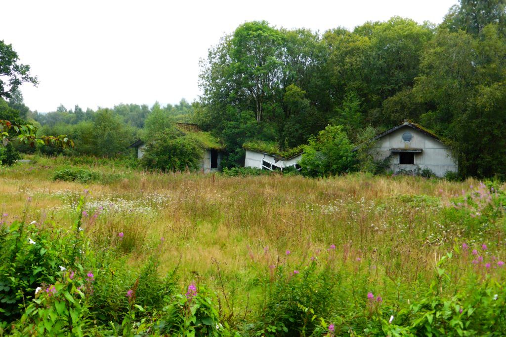
With a population of around 300 people, Craighat is a close-knit community that offers a peaceful and tranquil living environment. The village is predominantly residential, consisting of traditional stone-built houses that add to its charming character. Many of these properties date back several centuries, showcasing the historical heritage of the area.
Although small in size, Craighat benefits from a range of amenities and services that cater to the needs of its residents. These include a local pub, a convenience store, and a primary school, ensuring that essential facilities are within easy reach. Additionally, the village boasts well-maintained public spaces, such as parks and playgrounds, providing opportunities for outdoor recreation and leisure activities.
Craighat is also renowned for its natural beauty and offers plenty of opportunities to explore the surrounding countryside. The nearby hills and forests provide excellent walking and hiking trails, allowing residents and visitors to enjoy the stunning scenery and wildlife. Additionally, the village is situated close to the River Forth, offering opportunities for fishing and water-based activities.
In conclusion, Craighat is a picturesque village in Stirlingshire, Scotland, with a tight-knit community and a rich historical heritage. Its tranquil setting, range of amenities, and proximity to natural beauty make it an attractive place to live or visit.
If you have any feedback on the listing, please let us know in the comments section below.
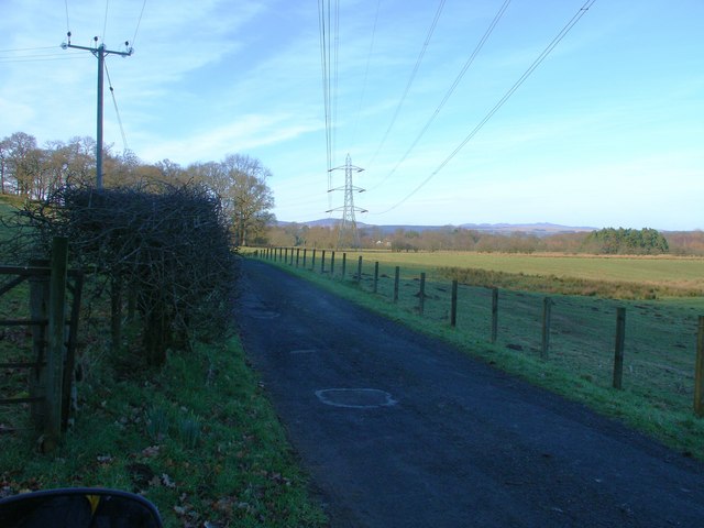
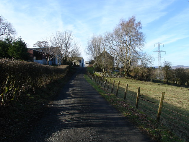
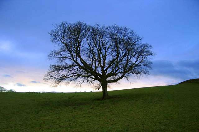
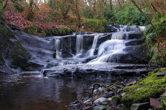
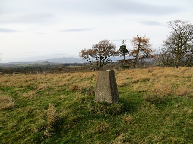
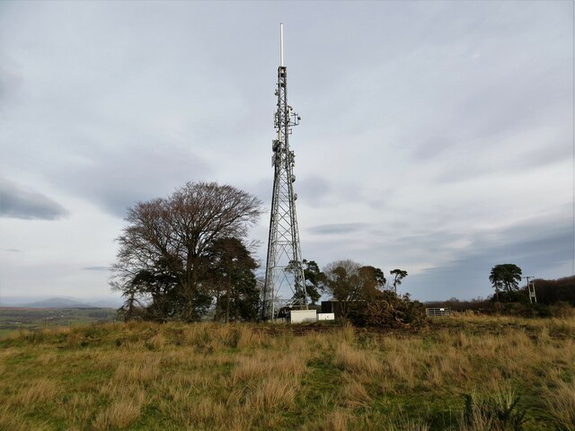
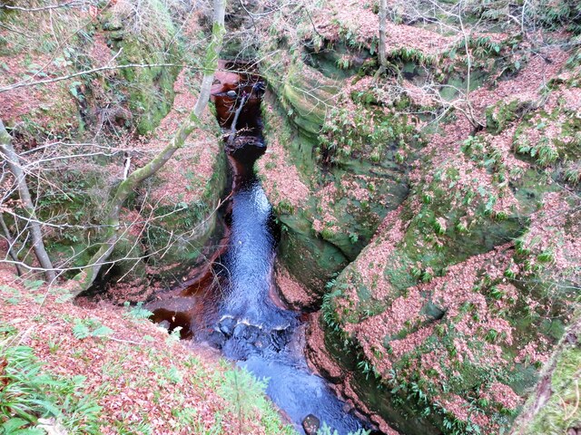
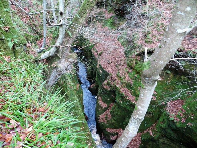
Craighat Images
Images are sourced within 2km of 56.025037/-4.4244666 or Grid Reference NS4984. Thanks to Geograph Open Source API. All images are credited.


Craighat is located at Grid Ref: NS4984 (Lat: 56.025037, Lng: -4.4244666)
Unitary Authority: Stirling
Police Authority: Forth Valley
What 3 Words
///farm.aquatic.gong. Near Killearn, Stirling
Nearby Locations
Related Wikis

Finnich Glen
Finnich Glen in Stirlingshire, is a short, steep glen up to 70 ft deep which runs east from Finnich Bridge on the A809. It was carved from the red sandstone...
Killearn Hospital
Killearn Hospital was a health facility at Killearn in the Stirling council area of Scotland. == History == The hospital was established as one of seven...

Dalnair Castle
Dalnair Castle, also known as Dalnair House, is a Scottish baronial castle dating from around 1884. It is located outside the village of Croftamie in Stirling...

Croftamie
Croftamie (Scottish Gaelic Croit Sheumaidh) is a small village and community council area in the Stirling council area in Scotland. It lies to the south...
Nearby Amenities
Located within 500m of 56.025037,-4.4244666Have you been to Craighat?
Leave your review of Craighat below (or comments, questions and feedback).