Craiggie Cat

Settlement in Kincardineshire

Scotland

Craiggie Cat

Brucewells Bungalow A farm cottage
Brucewells Bungalow Credit: Alan Reid

Craiggie Cat is a small village located in the region of Kincardineshire, Scotland. Nestled amidst picturesque countryside, this tranquil settlement offers a peaceful retreat away from the hustle and bustle of city life. The village is situated on the northeastern coast of Scotland, overlooking the vast expanse of the North Sea.

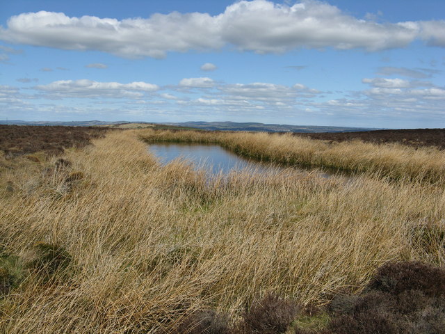
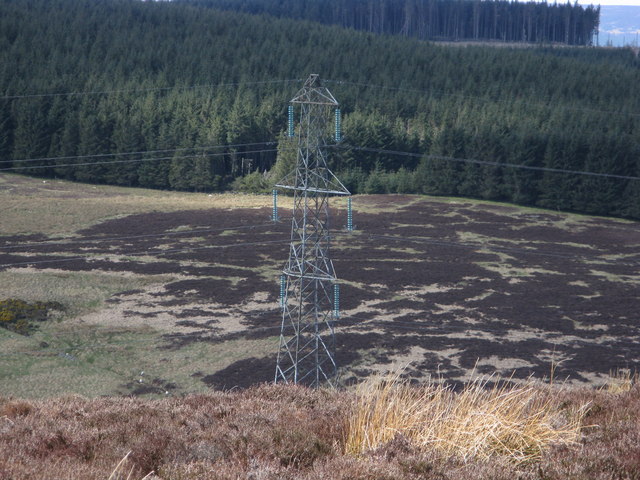
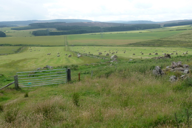
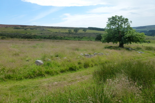
Craiggie Cat boasts a charming atmosphere with its traditional stone cottages, rolling hills, and stunning coastal views. The village is home to a close-knit community that values its rich history and natural surroundings. Residents often engage in activities such as hiking, fishing, and birdwatching, taking advantage of the beautiful landscapes that surround them.

The village is also known for its proximity to various attractions and amenities. Just a short drive away lies the bustling town of Stonehaven, where residents can find a range of shops, restaurants, and other services. Additionally, the famous Dunnottar Castle is within reach, offering visitors a glimpse into Scotland's medieval past.

Despite its small size, Craiggie Cat is well-connected to the surrounding areas through a reliable network of roads and public transportation. This allows residents to easily access nearby towns and cities for work or leisure purposes.

Overall, Craiggie Cat offers a peaceful and idyllic setting for individuals seeking a slower pace of life and a strong sense of community. With its stunning natural beauty and convenient location, it is no wonder that this village holds a special place in the hearts of its residents and visitors alike.

If you have any feedback on the listing, please let us know in the comments section below.
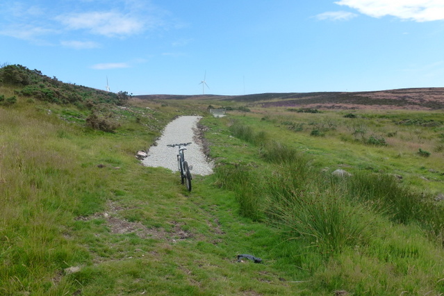
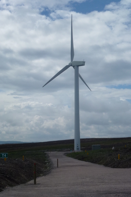
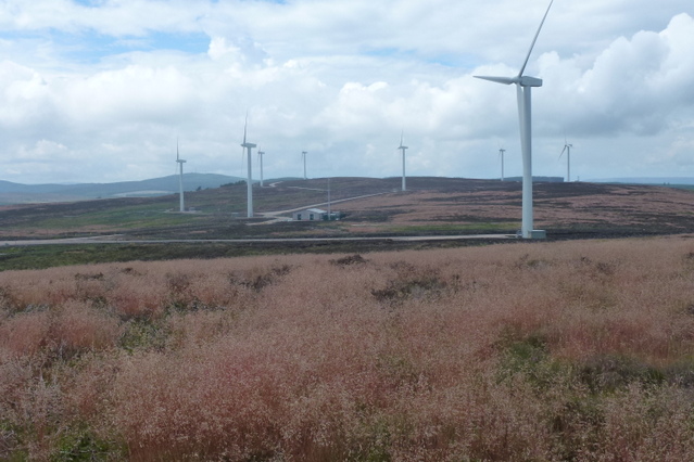
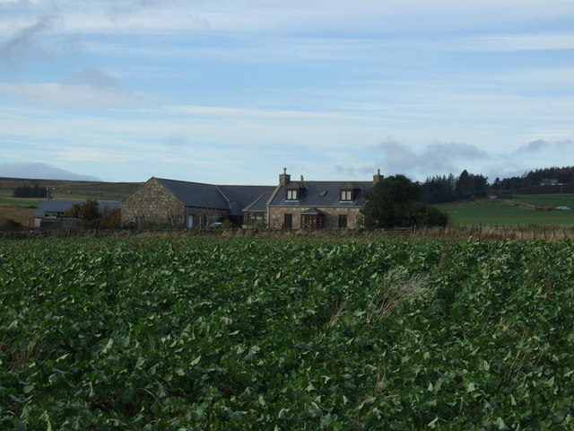
Craiggie Cat Images

Images are sourced within 2km of 57.018847/-2.2651384 or Grid Reference NO8492. Thanks to Geograph Open Source API. All images are credited.

Brucewells Bungalow A farm cottage
Brucewells Bungalow
A farm cottage
Access to a new house at Woodend, Netherley Off the west side of B979.
Access to a new house at Woodend, Netherley
Off the west side of B979.
Curlethney trig. point
Pond between Curlethney Hill and Meikle Carewe Hill
H.V. pylon on Meikle Carewe
Triangular boundary stone
Boundary stone on Round Hill with Curlethney Hill in the background The letter U siginifies the Ury estate
Boundary stone on Round Hill with Curlethney Hill in the background
The letter U siginifies the Ury estate
Looking up the drive of South Blackburn Photographer is standing at the grassy verge.
Looking up the drive of South Blackburn
Photographer is standing at the grassy verge.
Netherley junction Where a minor road from Muchalls meets the B979 from Banchory.
Netherley junction
Where a minor road from Muchalls meets the B979 from Banchory.
Agricultural Land An old track leading from the Lang Stane to the old derelict farm steading of Smallburn
Agricultural Land
An old track leading from the Lang Stane to the old derelict farm steading of Smallburn
A lone tree The track goes through the derelict farm steading of Smallburn, leading to Moss of Blackpots.  The tree is surrounded by rubble, and the low remains of farm buildings are just visible in the long grass
A lone tree
The track goes through the derelict farm steading of Smallburn, leading to Moss of Blackpots. The tree is surrounded by rubble, and the low remains of farm buildings are just visible in the long grass
A new hill track The new way marked track leading to Meikle Carewe windfarm.  The track snakes like a white ribbon over the Moss of Blackpots and can be seen clearly from the road leading to Easter Auquhollie
A new hill track
The new way marked track leading to Meikle Carewe windfarm. The track snakes like a white ribbon over the Moss of Blackpots and can be seen clearly from the road leading to Easter Auquhollie
Wind Turbine T4 Wind Turbine & access road, one of the turbines at Meikle Carewe windfarm
Wind Turbine
T4 Wind Turbine & access road, one of the turbines at Meikle Carewe windfarm
Meikle Carewe Windfarm The wind turbines at Meikle Carewe windfarm from Curlethney Hill
Meikle Carewe Windfarm
The wind turbines at Meikle Carewe windfarm from Curlethney Hill
Access Road The access road to the Meikle Carewe windfarm
Access Road
The access road to the Meikle Carewe windfarm
Crop field, South Blackburn
South Blackburn
South Blackburn
B979 heading north  Towards Peterculter.
B979 heading north
Towards Peterculter.
Show me another place!

Craiggie Cat is located at Grid Ref: NO8492 (Lat: 57.018847, Lng: -2.2651384)

Unitary Authority: Aberdeenshire

Police Authority: North East

What 3 Words

///fidgeted.exists.cried. Near Stonehaven, Aberdeenshire

Related Wikis

Curlethney Hill

Curlethney Hill is a landform in Aberdeenshire, Scotland within the Mounth Range of the Grampian Mountains. (Grid Reference NO 918 839) The peak elevation...

Saddle Hill (Aberdeenshire)

Saddle Hill is a low lying mountain in eastern Aberdeenshire, Scotland within the Mounth Range of the Grampian Mountains. Its peak is 241 metres (791...

Craggie Cat

Craggie Cat is a hill landform in the Mounth of the Grampian Mountains at the southern edge of Netherley, Aberdeenshire, Scotland. The peak elevation...

Meikle Carewe Hill

Meikle Carewe Hill is a landform in Aberdeenshire, Scotland within the Mounth Range of the Grampian Mountains. (Grid Reference NO 921 828) The peak elevation...

Nearby Amenities

Located within 500m of 57.018847,-2.2651384
Curlethney Hill
Ele: 246
Natural: peak
Wikidata: Q5194826
Wikipedia: en:Curlethney Hill
Lat/Long: 57.0167161/-2.2667885
Generator Method: wind_turbine
Generator Source: wind
Generator Type: horizontal_axis
Power: generator
Lat/Long: 57.0174858/-2.2700502
Generator Method: wind_turbine
Generator Source: wind
Generator Type: horizontal_axis
Power: generator
Lat/Long: 57.0154925/-2.2705154
Generator Method: wind_turbine
Generator Source: wind
Generator Type: horizontal_axis
Power: generator
Lat/Long: 57.0158387/-2.267089
Generator Method: wind_turbine
Generator Source: wind
Generator Type: horizontal_axis
Power: generator
Lat/Long: 57.0149392/-2.2641922
The data included in this document is from www.openstreetmap.org. The data is made available under ODbL.

Have you been to Craiggie Cat?

Leave your review of Craiggie Cat below (or comments, questions and feedback).