Ashdhu

Valley in Stirlingshire

Scotland

Ashdhu

Blane Bridge Spans the Blane Water
Blane Bridge Credit: Chris Upson

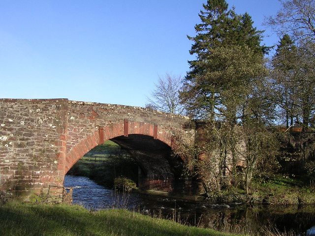
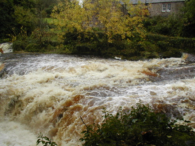
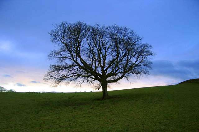
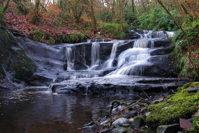
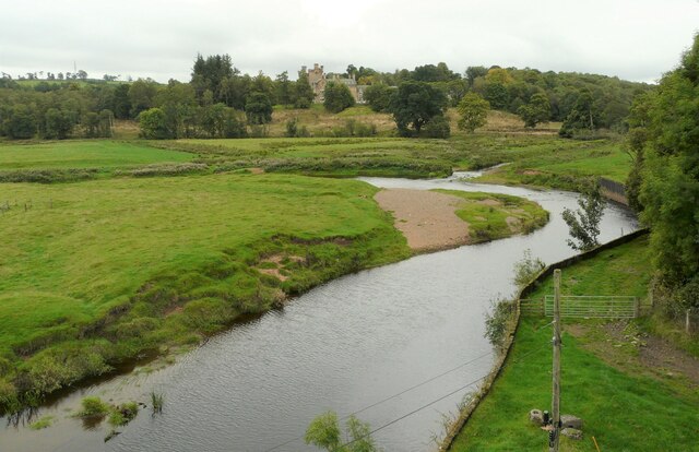
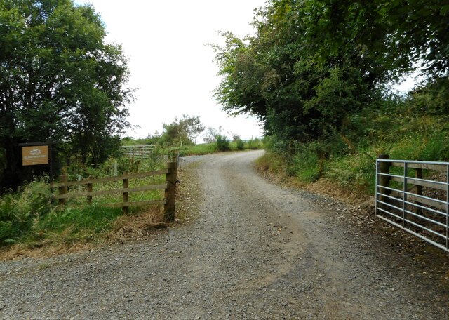
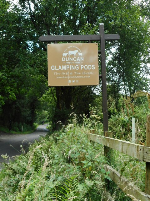
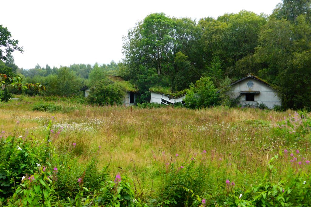
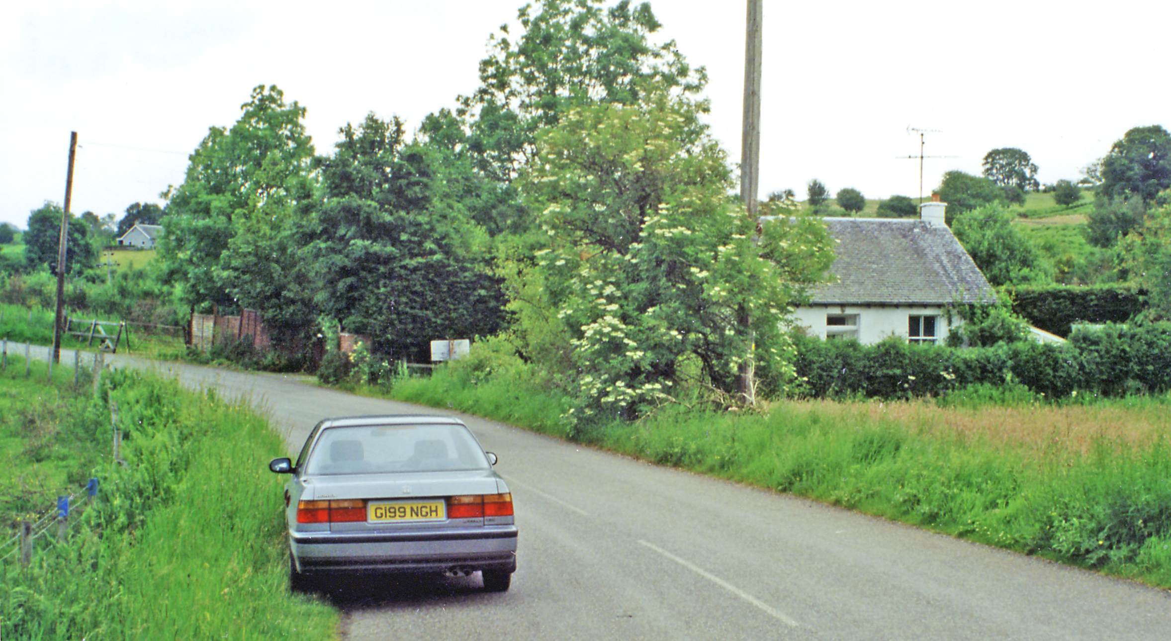
Ashdhu is a small village located in the Stirlingshire region of Scotland. Situated in a picturesque valley, it is surrounded by rolling hills and lush green landscapes. The village is known for its tranquil and idyllic setting, making it a popular destination for nature lovers and those seeking a peaceful retreat.

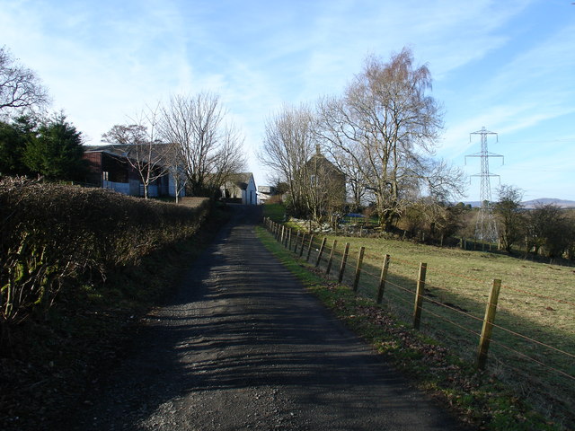
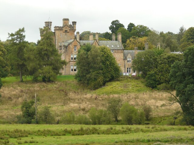
Ashdhu is home to a close-knit community, with a population of around 200 residents. The village retains its rural charm with a scattering of traditional stone cottages and farmhouses. Agriculture plays a significant role in the local economy, with many residents involved in farming and livestock rearing.

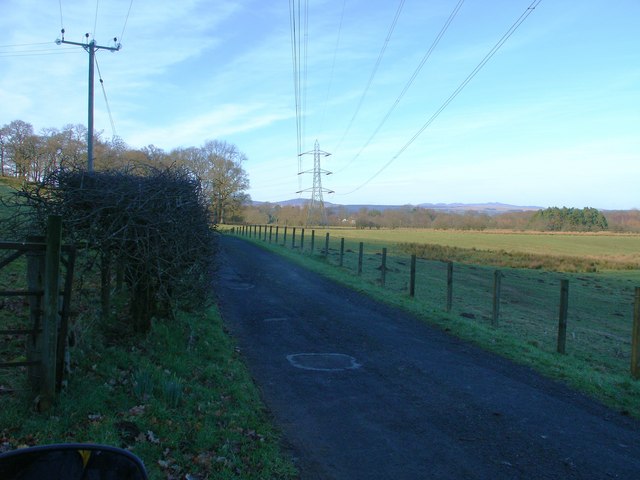
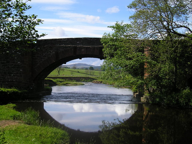
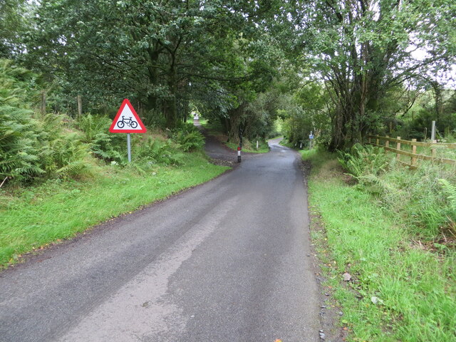
The village is well-connected to nearby towns and cities, with good transport links. The closest town is Stirling, which is approximately 10 miles away, offering a range of amenities and services. The city of Glasgow is also within easy reach, located around 30 miles southwest of Ashdhu.

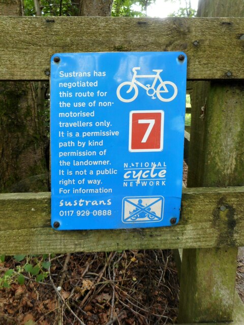
In terms of recreational activities, Ashdhu offers an array of opportunities for outdoor enthusiasts. The surrounding hills and valleys provide ample space for walking, hiking, and cycling. The nearby rivers and lochs offer fishing and boating opportunities. Additionally, there are several golf courses in the vicinity for those who enjoy the sport.

Overall, Ashdhu, Stirlingshire (Valley) is a charming and peaceful village, perfect for those seeking a slower pace of life amidst stunning natural surroundings.

If you have any feedback on the listing, please let us know in the comments section below.

Ashdhu Images

Images are sourced within 2km of 56.033253/-4.415238 or Grid Reference NS4984. Thanks to Geograph Open Source API. All images are credited.

Blane Bridge Spans the Blane Water
Blane Bridge
Spans the Blane Water
Derelict Buildings Derelict buildings to the east of Killearn House. A new roundabout has just been built opposite.
Derelict Buildings
Derelict buildings to the east of Killearn House. A new roundabout has just been built opposite.
Blaneswell Pylons
Blaneswell Pylons
Carston Farm
Carston Farm
River Endrick waterfall This area is a very popular spot for watching salmon leap up the falls.  This picture was taken when the river was in spate.  Normally there are three main channels and the drop is about 15 feet. Today the drop was about 5 feet
River Endrick waterfall
This area is a very popular spot for watching salmon leap up the falls. This picture was taken when the river was in spate. Normally there are three main channels and the drop is about 15 feet. Today the drop was about 5 feet
Stockiemuir oak tree Oak tree against a cold December sky.
Stockiemuir oak tree
Oak tree against a cold December sky.
Dualt Burn waterfall Waterfall on the Dualt Burn, Stockiemuir, Stirlingshire
Dualt Burn waterfall
Waterfall on the Dualt Burn, Stockiemuir, Stirlingshire
The Blane Bridge A lovely perfectly formed bridge over the River Blane before it meets the Endrick.
The Blane Bridge
A lovely perfectly formed bridge over the River Blane before it meets the Endrick.
The Endrick Water Seen from the Endrick Viaduct. Dalnair House is in the distance.
The Endrick Water
Seen from the Endrick Viaduct. Dalnair House is in the distance.
Dalnair House Seen from the Endrick Viaduct. A Category B listed baronial mansion <span class="nowrap"><a title="http://portal.historicenvironment.scot/designation/LB49000" rel="nofollow ugc noopener" href="http://portal.historicenvironment.scot/designation/LB49000">Link</a><img style="margin-left:2px;" alt="External link" title="External link - shift click to open in new window" src="https://s1.geograph.org.uk/img/external.png" width="10" height="10"/></span> dating from 1884. It is also known as Dalnair Castle. It has recently been extensively renovated as a residential development of 10 luxury apartments.
Dalnair House
Seen from the Endrick Viaduct. A Category B listed baronial mansion LinkExternal link dating from 1884. It is also known as Dalnair Castle. It has recently been extensively renovated as a residential development of 10 luxury apartments.
Aucheneck trig pillar
T. V. relay mast for the Killearn area
Gorge in Finnich Glen
Carnock Burn flowing through the gorge in Finnoch Glen
Gartness Road near the Park of Drumquhassle Looking north-westward. This section of road is used by the West Highland Way Path.
Gartness Road near the Park of Drumquhassle
Looking north-westward. This section of road is used by the West Highland Way Path.
Sustrans notice At the point where National Cycle Network Route 7 joins the path following the old Forth and Clyde Junction Railway line.
Sustrans notice
At the point where National Cycle Network Route 7 joins the path following the old Forth and Clyde Junction Railway line.
Road to The Heft & The Hirsel The Heft & The Hirsel are new glamping pods on the Duncan Family Farms' 
Lands of Drumhead.
Road to The Heft & The Hirsel
The Heft & The Hirsel are new glamping pods on the Duncan Family Farms' Lands of Drumhead.
Sign for Glamping Pods, Gartness Road The Heft & The Hirsel are new glamping pods on the Duncan Family Farms'
Lands of Drumhead.
Sign for Glamping Pods, Gartness Road
The Heft & The Hirsel are new glamping pods on the Duncan Family Farms' Lands of Drumhead.
Show me another place!

Ashdhu is located at Grid Ref: NS4984 (Lat: 56.033253, Lng: -4.415238)

Unitary Authority: Stirling

Police Authority: Forth Valley

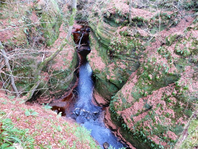
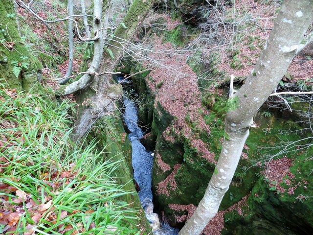
Also known as: Finnich Glen

What 3 Words

///whirlpool.blushed.adopt. Near Killearn, Stirling

Related Wikis

Finnich Glen

Finnich Glen in Stirlingshire, is a short, steep glen up to 70 ft deep which runs east from Finnich Bridge on the A809. It was carved from the red sandstone...

Killearn Hospital

Killearn Hospital was a health facility at Killearn in the Stirling council area of Scotland. == History == The hospital was established as one of seven...

Killearn railway station

Killearn railway station served the village of Killearn, Stirling, Scotland from 1882 to 1951 on the Blane Valley Railway. == History == The station opened...

Dalnair Castle

Dalnair Castle, also known as Dalnair House, is a Scottish baronial castle dating from around 1884. It is located outside the village of Croftamie in Stirling...

Gartness railway station

Gartness railway station served the hamlet of Gartness, Stirling, Scotland, from 1856 to 1934 on the Forth and Clyde Junction Railway. == History == The...

Croftamie

Croftamie (Scottish Gaelic Croit Sheumaidh) is a small village and community council area in the Stirling council area in Scotland. It lies to the south...

Gartness

Gartness is a hamlet in Stirling, Scotland. It is located 1.8 miles/2.9 km from Killearn and 3.1 miles/5 km from Drymen. Most pupils attend Killearn Primary...

Drymen railway station

Drymen railway station served the village of Croftamie, Stirling, Scotland, from 1856 to 1934 on the Forth and Clyde Junction Railway. == History == The...

Nearby Amenities

Located within 500m of 56.033253,-4.415238
Power: pole
Lat/Long: 56.0340181/-4.421086
Power: pole
Lat/Long: 56.034528/-4.4202309
Power: pole
Lat/Long: 56.0349165/-4.4195869
Power: pole
Lat/Long: 56.0355078/-4.4186023
Power: pole
Lat/Long: 56.0360989/-4.417613
Power: pole
Lat/Long: 56.0365955/-4.416792
Power: pole
Lat/Long: 56.0371473/-4.415858
Power: pole
Lat/Long: 56.0328877/-4.4229794
Power: pole
Lat/Long: 56.0335423/-4.421885
Design: barrel
Power: tower
Lat/Long: 56.0326354/-4.4073914
Design: barrel
Power: tower
Lat/Long: 56.0350191/-4.4089736
Finnich Glen
Place: locality
Wikidata: Q24197272
Wikipedia: en:Finnich Glen
Lat/Long: 56.0335351/-4.4146296
Devil's Pulpit
Natural: rock
Lat/Long: 56.0334865/-4.4157197
Tourism: viewpoint
Lat/Long: 56.0334478/-4.4152998
Power: pole
Lat/Long: 56.0321537/-4.4220515
Power: pole
Lat/Long: 56.0317902/-4.4214408
Power: pole
Lat/Long: 56.0314233/-4.4208739
Power: pole
Lat/Long: 56.0309184/-4.4200539
Power: pole
Lat/Long: 56.030237/-4.4196168
Power: pole
Lat/Long: 56.0296958/-4.4192695
Power: pole
Lat/Long: 56.0326516/-4.421401
Power: pole
Lat/Long: 56.0332838/-4.420579
Power: pole
Lat/Long: 56.0338109/-4.4200226
Access: no
Barrier: boulder
Foot: yes
Lat/Long: 56.0340144/-4.4194428
Barrier: cattle_grid
Lat/Long: 56.0327096/-4.4217481
The data included in this document is from www.openstreetmap.org. The data is made available under ODbL.

Have you been to Ashdhu?

Leave your review of Ashdhu below (or comments, questions and feedback).