St Martin's Wood

Wood, Forest in Gloucestershire Stroud

England

St Martin's Wood

Mill Grove, Quedgeley Cul-de-sac on the south side of Millers Dyke.
Mill Grove, Quedgeley Credit: Jaggery

St Martin's Wood is a scenic woodland area located in the county of Gloucestershire, England. Covering an expansive area of approximately 100 acres, this ancient forest is renowned for its natural beauty and diverse ecosystem. The wood is situated on elevated ground, offering visitors breathtaking views of the surrounding countryside.

St Martin's Wood is predominantly composed of deciduous trees, with a variety of species including oak, beech, and ash. The dense canopy of foliage creates a peaceful and tranquil atmosphere, making it a popular destination for nature enthusiasts and hikers seeking solace in the great outdoors.

The forest floor is covered in a rich carpet of mosses, ferns, and wildflowers, providing a habitat for numerous species of small mammals, birds, and insects. Visitors can often spot squirrels, rabbits, and deer roaming freely throughout the wood, adding to the enchanting ambiance.

The wood is crisscrossed by a network of well-maintained footpaths, allowing visitors to explore its beauty while enjoying leisurely walks and hikes. These paths lead to various viewpoints, providing stunning vistas of the surrounding countryside and neighboring villages.

St Martin's Wood is also steeped in history, with evidence of human activity dating back centuries. Archaeological discoveries in the area have uncovered remnants of ancient settlements and burial sites, showcasing the rich cultural heritage of the region.

Overall, St Martin's Wood is a captivating destination, offering a unique opportunity to immerse oneself in the natural beauty, tranquility, and history of Gloucestershire's woodlands.

If you have any feedback on the listing, please let us know in the comments section below.

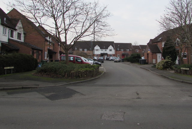
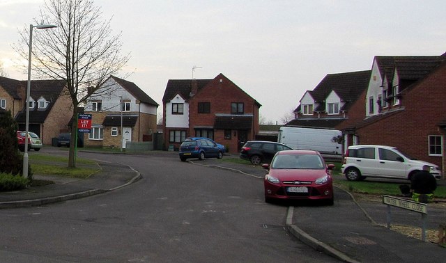
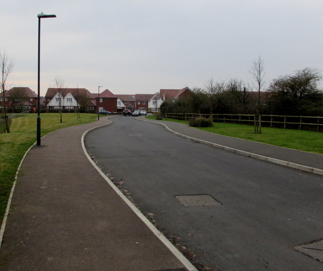
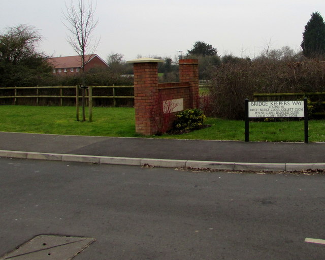
St Martin's Wood Images

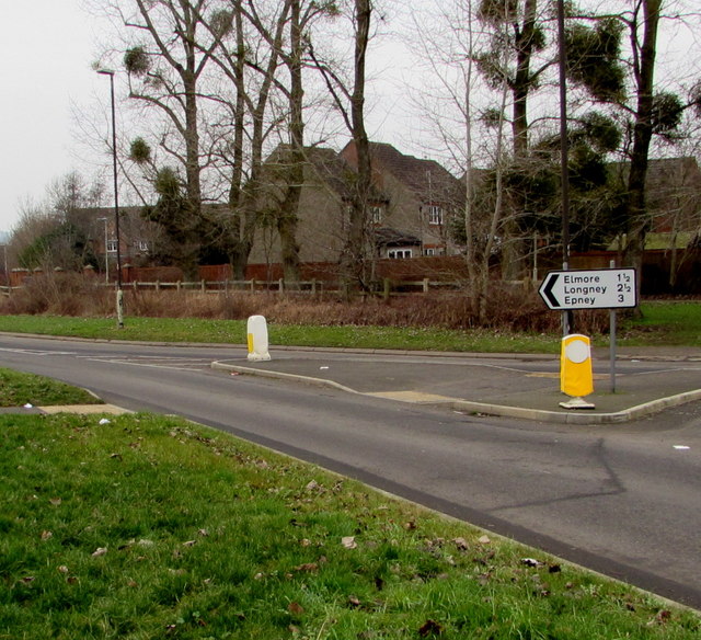
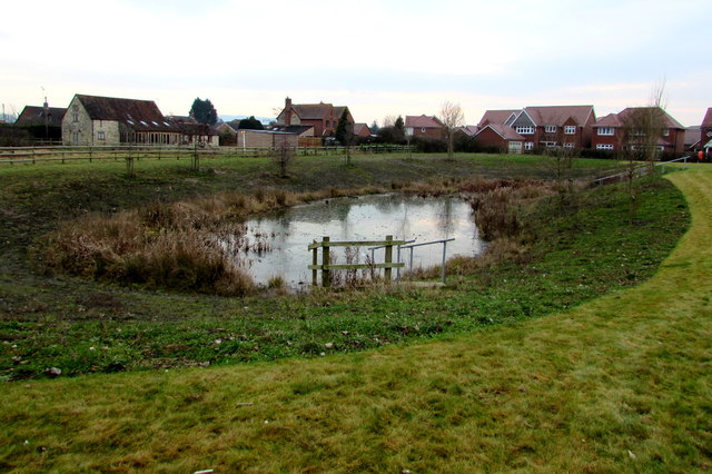
Images are sourced within 2km of 51.824128/-2.3176202 or Grid Reference SO7813. Thanks to Geograph Open Source API. All images are credited.

Mill Grove, Quedgeley Cul-de-sac on the south side of Millers Dyke.
Mill Grove, Quedgeley
Cul-de-sac on the south side of Millers Dyke.
Water Wheel Close, Quedgeley Cul-de-sac on the south side of Millers Dyke.
Water Wheel Close, Quedgeley
Cul-de-sac on the south side of Millers Dyke.
Jet Plant Hire van parked in  Millers Dyke, Quedgeley Jet Plant Hire Ltd is based in Enterprise Way, Vale Park, Evesham.
Jet Plant Hire van parked in Millers Dyke, Quedgeley
Jet Plant Hire Ltd is based in Enterprise Way, Vale Park, Evesham.
Bridge Keepers Way, Hardwicke Towards recently-built houses near the Gloucester and Sharpness Canal, viewed in January 2017.
Bridge Keepers Way, Hardwicke
Towards recently-built houses near the Gloucester and Sharpness Canal, viewed in January 2017.
Bridge Keepers Way name sign, Hardwicke The sign shows that this road <a title="https://www.geograph.org.uk/photo/5263742" href="https://www.geograph.org.uk/photo/5263742">Link</a> leads to six cul-de-sacs.
Bridge Keepers Way name sign, Hardwicke
The sign shows that this road Link leads to six cul-de-sacs.
Distances from Hardwicke in Stroud District, Gloucestershire The sign on the west side of the School Lane and Sellars Road 
roundabout is 1½ (miles) from Elmore, 2½ from Longney, 3 from Epney.
Distances from Hardwicke in Stroud District, Gloucestershire
The sign on the west side of the School Lane and Sellars Road roundabout is 1½ (miles) from Elmore, 2½ from Longney, 3 from Epney.
Pond near Bridge Keepers Way, Hardwicke Below the west (left) side of this road. <a title="https://www.geograph.org.uk/photo/5263742" href="https://www.geograph.org.uk/photo/5263742">Link</a>
Pond near Bridge Keepers Way, Hardwicke
Below the west (left) side of this road. Link
The Pilot Inn, Hardwicke  Located on the east bank of the Gloucester and Sharpness Canal, near Sellars Bridge.
The Pilot Inn, Hardwicke
Located on the east bank of the Gloucester and Sharpness Canal, near Sellars Bridge.
Green World Recycling bin outside the Pilot Inn, Hardwicke On the left here. <a title="https://www.geograph.org.uk/photo/5263820" href="https://www.geograph.org.uk/photo/5263820">Link</a> Green World Recycling collects used clothes and shoes to raise funds for green causes in India and Africa. Green World Recycling Ltd is a not for profit organisation registered in the UK. It was established and started its activities during the summer of 1998. It has no shareholders.
Green World Recycling bin outside the Pilot Inn, Hardwicke
On the left here. Link Green World Recycling collects used clothes and shoes to raise funds for green causes in India and Africa. Green World Recycling Ltd is a not for profit organisation registered in the UK. It was established and started its activities during the summer of 1998. It has no shareholders.
The Pilot Inn, Hardwicke Located on the east bank of the Gloucester and Sharpness Canal. Sellars Bridge across the canal is ahead.
The Pilot Inn, Hardwicke
Located on the east bank of the Gloucester and Sharpness Canal. Sellars Bridge across the canal is ahead.
The Pilot Inn name sign, Hardwicke On the east side of this inn. <a title="https://www.geograph.org.uk/photo/5263820" href="https://www.geograph.org.uk/photo/5263820">Link</a>
The Pilot Inn name sign, Hardwicke
On the east side of this inn. Link
End of the 30mph speed limit, Haywicks Lane, Hardwicke On the approach to the Pilot Inn and Sellars Bridge over the Gloucester 
and Sharpness Canal, the 30mph speed limit increases to the National Speed Limit.
End of the 30mph speed limit, Haywicks Lane, Hardwicke
On the approach to the Pilot Inn and Sellars Bridge over the Gloucester and Sharpness Canal, the 30mph speed limit increases to the National Speed Limit.
Oil pipeline marker, Sellars Road, Hardwicke Text on the base of the marker shows NO DIGGING - N/S(S) OIL PIPELINE.
An 0845 number is shown for enquiries. Another phone number is shown in the event of an emergency.
Oil pipeline marker, Sellars Road, Hardwicke
Text on the base of the marker shows NO DIGGING - N/S(S) OIL PIPELINE. An 0845 number is shown for enquiries. Another phone number is shown in the event of an emergency.
Directions sign facing Haywicks Lane, Hardwicke At the roundabout, take the right side exit for the centre of Hardwicke 
or straight ahead for Quedgeley, Gloucester, Stroud.
Directions sign facing Haywicks Lane, Hardwicke
At the roundabout, take the right side exit for the centre of Hardwicke or straight ahead for Quedgeley, Gloucester, Stroud.
Arkendale Drive telecoms cabinets, Hardwicke Two cabinets at the southern end of Arkendale Drive.
Arkendale Drive telecoms cabinets, Hardwicke
Two cabinets at the southern end of Arkendale Drive.
Arkendale Drive, Hardwicke Arkendale Drive bends to the right ahead, opposite the Wharfedale Way junction.
A warning sign shows Humps for 100 yards.
Arkendale Drive, Hardwicke
Arkendale Drive bends to the right ahead, opposite the Wharfedale Way junction. A warning sign shows Humps for 100 yards.
Quedgeley this way, Hardwicke Showing Quedgeley 1 (mile), a sign points left along School Lane.
Quedgeley this way, Hardwicke
Showing Quedgeley 1 (mile), a sign points left along School Lane.
Oil pipeline marker, School Lane, Hardwicke Text on the base of the marker shows NO DIGGING - N/S(S) OIL PIPELINE.
An 0845 number is shown for enquiries. Another phone number is shown in the event of an emergency.
Oil pipeline marker, School Lane, Hardwicke
Text on the base of the marker shows NO DIGGING - N/S(S) OIL PIPELINE. An 0845 number is shown for enquiries. Another phone number is shown in the event of an emergency.
Show me another place!

St Martin's Wood is located at Grid Ref: SO7813 (Lat: 51.824128, Lng: -2.3176202)

Administrative County: Gloucestershire

District: Stroud

Police Authority: Gloucestershire

What 3 Words

///neon.rocky.ally. Near Frampton on Severn, Gloucestershire

Related Wikis

Elmore, Gloucestershire

For other places with the same name, see Elmore (disambiguation). Elmore is a village and civil parish, in the Stroud district of Gloucestershire, England...

St Nicholas Church, Hardwicke

Saint Nicholas Church is a grade I listed building located in Hardwicke, Gloucestershire. It practices Christianity through the Church of England denomination...

Severn FM

Severn FM is an internet radio station in the United Kingdom, which started broadcasting online in June 2011, and officially launched from its studio in...

Severn Vale School

Severn Vale School is a secondary school with academy status in Quedgeley, Gloucester, England. Its students are aged from 11 to 16. The headmaster is...

St James Church, Quedgeley

St James Church is a Church of England church in School Lane, Quedgeley, Gloucester, Gloucestershire, England. It was designated as a Grade II listed building...

Hardwicke Court

Hardwicke Court is a Grade II* listed country house in Hardwicke, Gloucestershire, England. The house is Late Georgian in style. It was designed by Sir...

Hardwicke, Stroud

Hardwicke is a large village on the A38 road 7 km south of the city of Gloucester, Gloucestershire, England. Despite its proximity to Gloucester, the village...

Quedgeley

Quedgeley is a town and former civil parish in the city of Gloucester in Gloucestershire, England. A thin strip of land between the Severn and the Gloucester...

Nearby Amenities

Located within 500m of 51.824128,-2.3176202
Hockley Hill
Created By: Potlatch 0.10f
Ele: 60
Natural: peak
Source: NPE
Lat/Long: 51.8244573/-2.3150974
Barrier: stile
Lat/Long: 51.8278911/-2.3181317
Barrier: stile
Lat/Long: 51.8256565/-2.3164795
Power: pole
Source: Bing
Lat/Long: 51.8260029/-2.3241235
Power: pole
Source: Bing
Lat/Long: 51.8277206/-2.3203779
Power: pole
Source: Bing
Lat/Long: 51.8268271/-2.322356
Barrier: kissing_gate
Source: survey
Lat/Long: 51.8197241/-2.3173037
The data included in this document is from www.openstreetmap.org. The data is made available under ODbL.

Have you been to St Martin's Wood?

Leave your review of St Martin's Wood below (or comments, questions and feedback).