Down Wood
Wood, Forest in Somerset Mendip
England
Down Wood

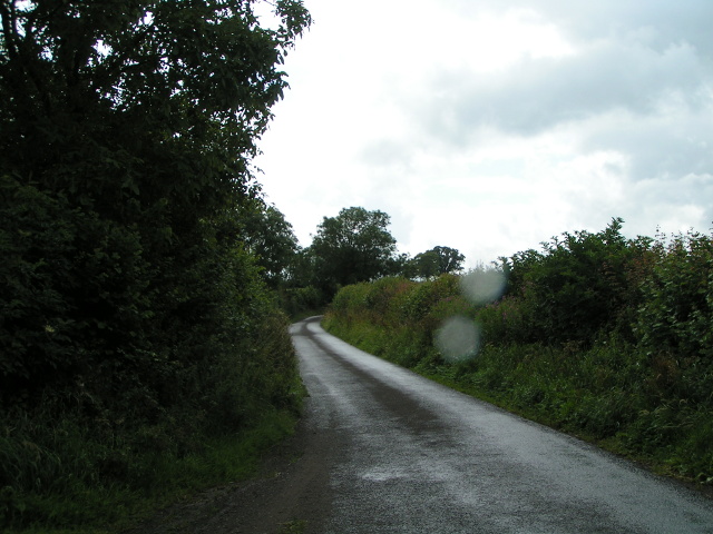
Down Wood is a picturesque forest located in Somerset, England. This woodland, also known as Wood, is a popular destination for nature lovers and outdoor enthusiasts. Spanning over a vast area, Down Wood offers a diverse range of flora and fauna, making it a haven for wildlife.
The woodland is characterized by its dense canopy of trees, primarily consisting of oak, beech, and ash. These towering trees provide shade and shelter for various species of birds, mammals, and insects. Visitors can often spot birds such as woodpeckers, owls, and warblers, while the forest floor is home to small mammals like squirrels, rabbits, and deer.
Walking through Down Wood, visitors can enjoy the tranquility of nature and immerse themselves in the peaceful surroundings. The forest paths are well-maintained, allowing hikers to explore the wood at their own pace. There are also designated picnic areas where families and friends can relax and enjoy a meal amidst the natural beauty.
In addition to its natural allure, Down Wood has historical significance. It is believed that the woodland has been in existence since ancient times, and remnants of old structures and artifacts have been discovered within its boundaries. This rich history adds an extra layer of fascination to the area.
Overall, Down Wood in Somerset offers a serene escape from the hustle and bustle of everyday life. With its breathtaking scenery, diverse wildlife, and historical charm, it is a must-visit destination for those seeking a connection with nature.
If you have any feedback on the listing, please let us know in the comments section below.
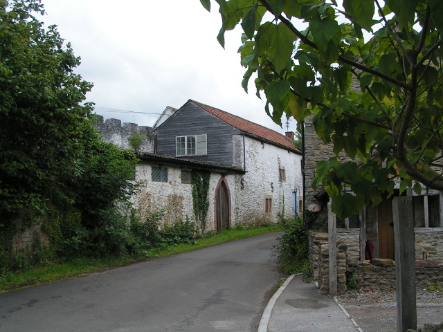
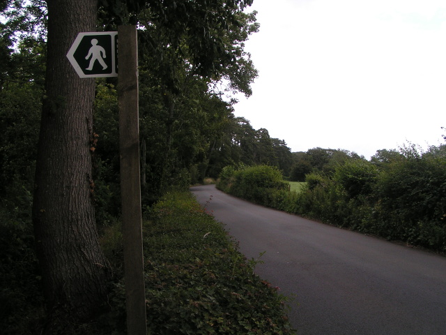
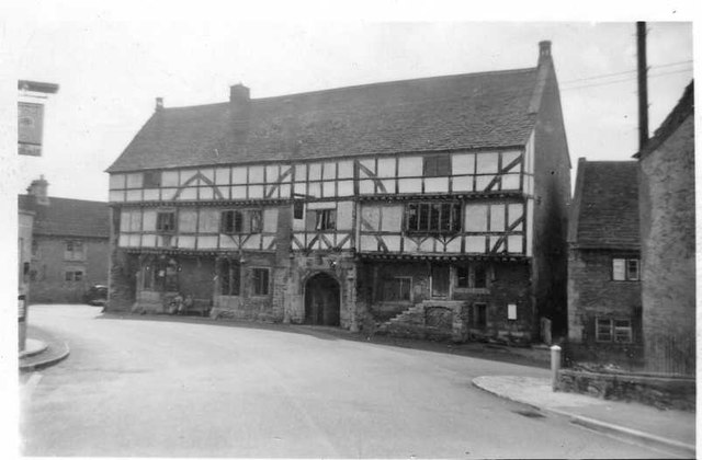
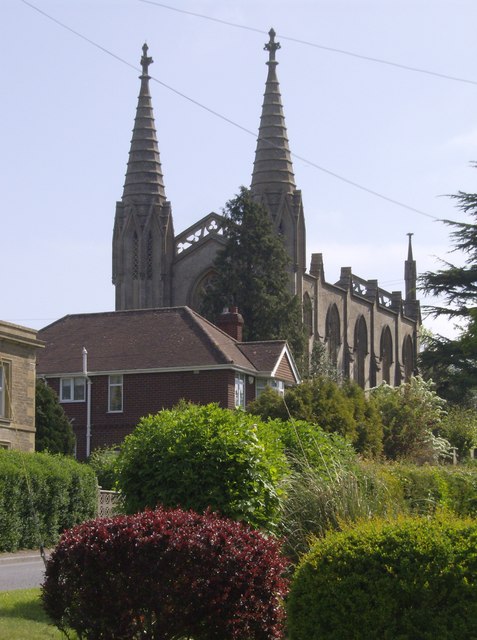
Down Wood Images
Images are sourced within 2km of 51.286065/-2.3138628 or Grid Reference ST7854. Thanks to Geograph Open Source API. All images are credited.


Down Wood is located at Grid Ref: ST7854 (Lat: 51.286065, Lng: -2.3138628)
Administrative County: Somerset
District: Mendip
Police Authority: Avon and Somerset
What 3 Words
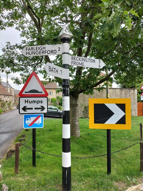
///values.wrenching.suave. Near Rode, Somerset
Nearby Locations
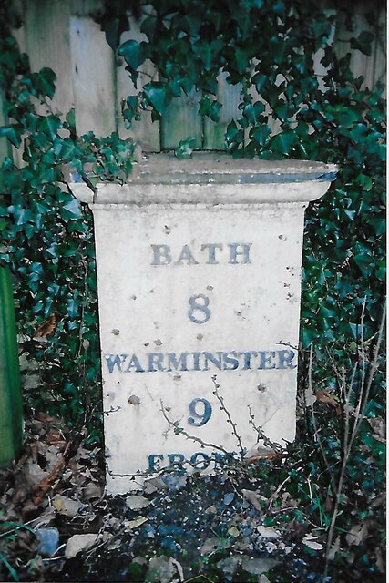
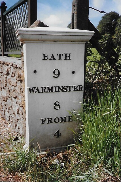
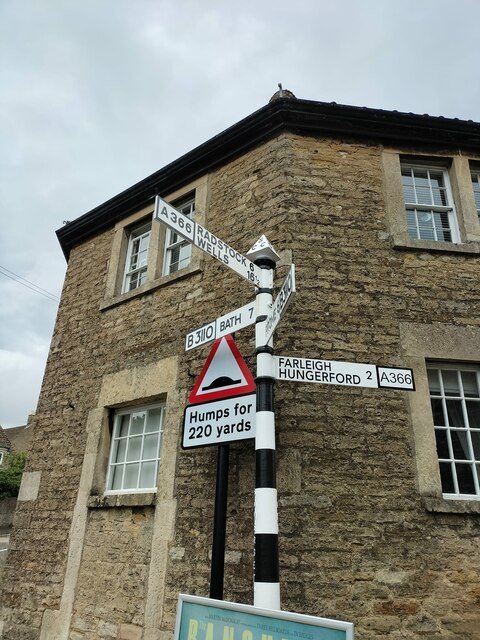
Related Wikis

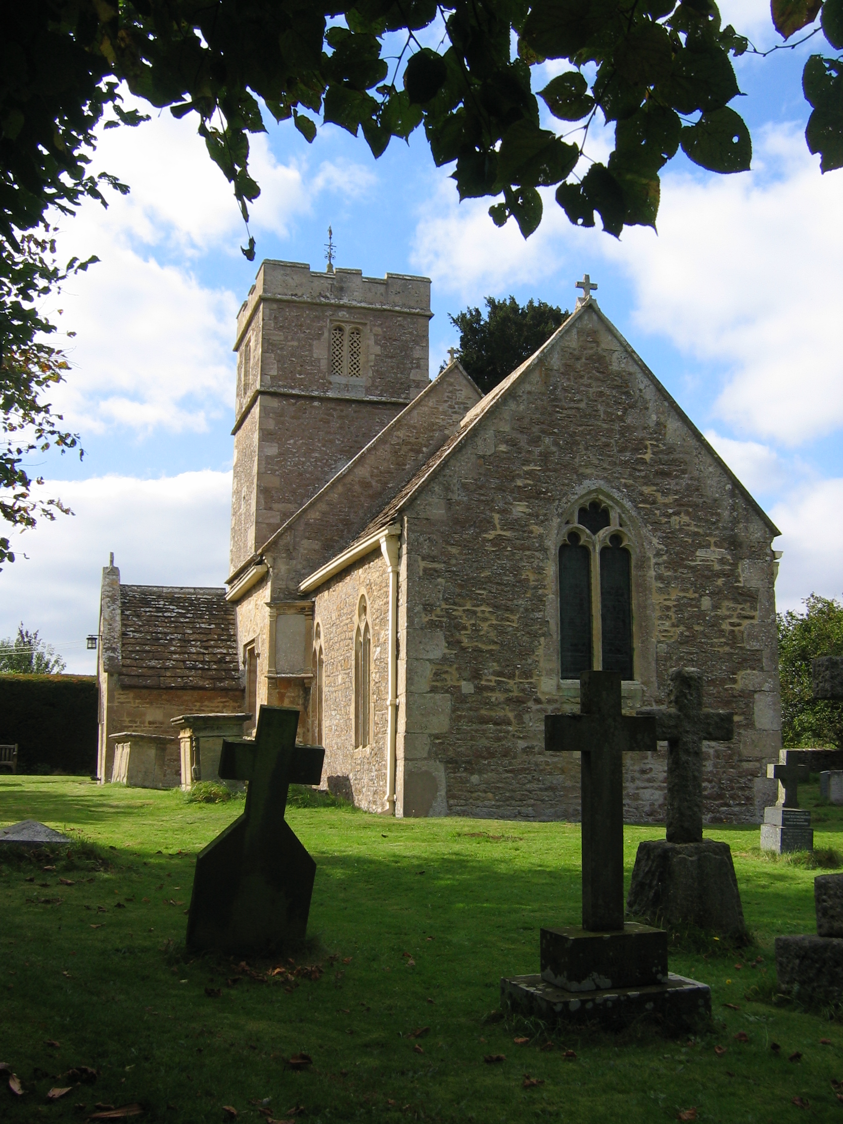
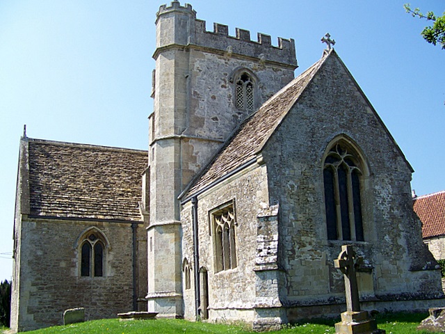
Church of St Mary, Laverton
The Anglican Church of St Mary in Laverton, Lullington, Somerset, England was built in the 11th century. It is a Grade II* listed building. == History... ==

Norton St Philip
Norton St Philip is a village and civil parish in Somerset, England. The village lies about 5+1⁄2 miles (9 km) south of the city of Bath and 5 miles (8...

Church of St Philip and St James, Norton St Philip
The Church of St Philip and St James in Norton St Philip within the English county of Somerset is a Grade II* listed building.The parish is part of the...

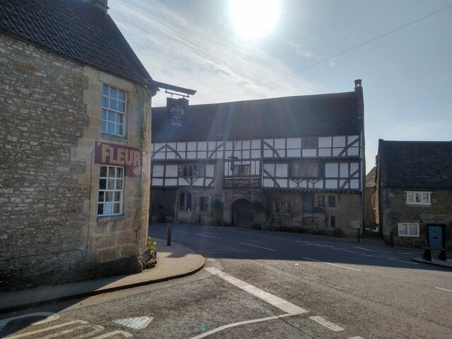
The George Inn, Norton St Philip
The George Inn in Norton St Philip, Somerset, England, one of a number of establishments that claims to be Britain's oldest tavern, is located in the centre...

Rode, Somerset
Rode (formerly Road) is a village and civil parish in the ceremonial county of Somerset in England, 5 miles (8.0 km) north-east of Frome and 5 miles (8...
Christ Church, Rode
The Anglican Church of St Peter in Rode, within the English county of Somerset, dates from 1824. It is a redundant church and a Grade II* listed building...
Tellisford
Tellisford is a village and civil parish 6 miles (10 km) north-east of Frome in the Mendip district of Somerset, England. The parish includes the village...
Lullington, Somerset
Lullington is a village and civil parish just across the Mells River from Beckington and 2.5 miles (4.0 km) north east of Frome, in the Mendip district...
Have you been to Down Wood?
Leave your review of Down Wood below (or comments, questions and feedback).