Hardwicke Farm Covert

Wood, Forest in Gloucestershire Stroud

England

Hardwicke Farm Covert

Hardwicke Court Hardwicke Court is a private country house and a member of the HHA (Historic Houses Association) and occasionally open to the public.
Hardwicke Court Credit: Philip Halling

Hardwicke Farm Covert is a woodland area located in Gloucestershire, England. Situated in the heart of the Forest of Dean, this ancient woodland covers an area of approximately 50 hectares. It is named after the nearby village of Hardwicke.

The woodland is predominantly composed of mixed deciduous trees, including oak, beech, and ash. These towering trees create a dense canopy that provides shade and shelter for a diverse range of flora and fauna. The forest floor is covered with a rich carpet of mosses, ferns, and wildflowers, adding to the area's natural beauty.

Hardwicke Farm Covert is home to a variety of wildlife. Many species of birds, such as woodpeckers, owls, and warblers, can be spotted here, making it a popular destination for birdwatchers. Mammals like deer, foxes, and badgers can also be found roaming the woodland, along with smaller creatures like squirrels and hedgehogs.

The woodland is crisscrossed with a network of nature trails, allowing visitors to explore and appreciate the natural wonders of Hardwicke Farm Covert. These paths offer scenic views of the surrounding countryside and provide opportunities for outdoor activities such as hiking, cycling, and nature photography.

Hardwicke Farm Covert is a designated Site of Special Scientific Interest (SSSI) due to its ecological importance and historical significance. The woodland has been preserved and managed by local authorities to ensure its conservation and protect its unique ecosystem for future generations to enjoy.

If you have any feedback on the listing, please let us know in the comments section below.

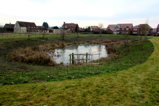
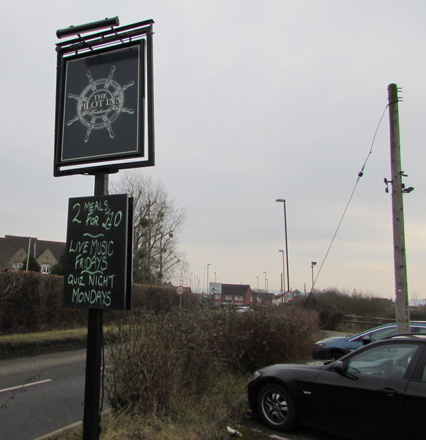
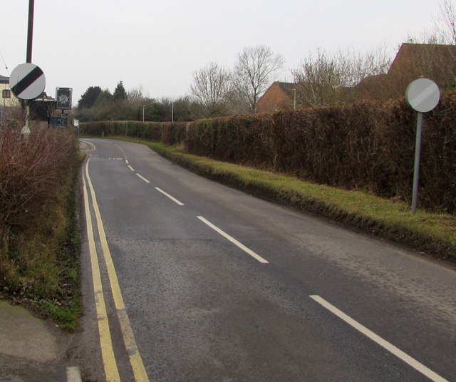
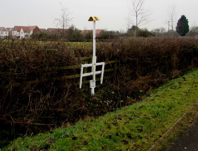
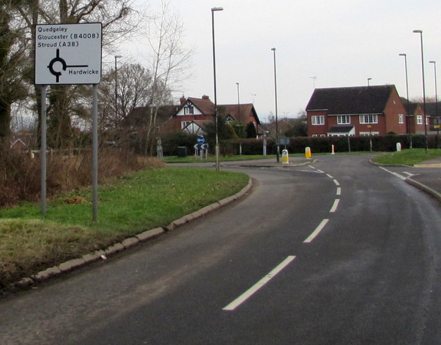
Hardwicke Farm Covert Images

Images are sourced within 2km of 51.82098/-2.3081241 or Grid Reference SO7813. Thanks to Geograph Open Source API. All images are credited.

Hardwicke Court Hardwicke Court is a private country house and a member of the HHA (Historic Houses Association) and occasionally open to the public.
Hardwicke Court
Hardwicke Court is a private country house and a member of the HHA (Historic Houses Association) and occasionally open to the public.
Hardwicke Court Hardwicke Court is a private country house and a member of the HHA (Historic Houses Association) and occasionally open to the public.
Hardwicke Court
Hardwicke Court is a private country house and a member of the HHA (Historic Houses Association) and occasionally open to the public.
Hardwicke Court Hardwicke Court is a private country house and a member of the HHA (Historic Houses Association) and occasionally open to the public.
Hardwicke Court
Hardwicke Court is a private country house and a member of the HHA (Historic Houses Association) and occasionally open to the public.
Hardwicke Court Hardwicke Court is a private country house and a member of the HHA (Historic Houses Association) and occasionally open to the public.
Hardwicke Court
Hardwicke Court is a private country house and a member of the HHA (Historic Houses Association) and occasionally open to the public.
Mill Grove, Quedgeley Cul-de-sac on the south side of Millers Dyke.
Mill Grove, Quedgeley
Cul-de-sac on the south side of Millers Dyke.
Water Wheel Close, Quedgeley Cul-de-sac on the south side of Millers Dyke.
Water Wheel Close, Quedgeley
Cul-de-sac on the south side of Millers Dyke.
Jet Plant Hire van parked in  Millers Dyke, Quedgeley Jet Plant Hire Ltd is based in Enterprise Way, Vale Park, Evesham.
Jet Plant Hire van parked in Millers Dyke, Quedgeley
Jet Plant Hire Ltd is based in Enterprise Way, Vale Park, Evesham.
Bridge Keepers Way, Hardwicke Towards recently-built houses near the Gloucester and Sharpness Canal, viewed in January 2017.
Bridge Keepers Way, Hardwicke
Towards recently-built houses near the Gloucester and Sharpness Canal, viewed in January 2017.
Bridge Keepers Way name sign, Hardwicke The sign shows that this road <a title="https://www.geograph.org.uk/photo/5263742" href="https://www.geograph.org.uk/photo/5263742">Link</a> leads to six cul-de-sacs.
Bridge Keepers Way name sign, Hardwicke
The sign shows that this road Link leads to six cul-de-sacs.
Distances from Hardwicke in Stroud District, Gloucestershire The sign on the west side of the School Lane and Sellars Road 
roundabout is 1½ (miles) from Elmore, 2½ from Longney, 3 from Epney.
Distances from Hardwicke in Stroud District, Gloucestershire
The sign on the west side of the School Lane and Sellars Road roundabout is 1½ (miles) from Elmore, 2½ from Longney, 3 from Epney.
Pond near Bridge Keepers Way, Hardwicke Below the west (left) side of this road. <a title="https://www.geograph.org.uk/photo/5263742" href="https://www.geograph.org.uk/photo/5263742">Link</a>
Pond near Bridge Keepers Way, Hardwicke
Below the west (left) side of this road. Link
The Pilot Inn, Hardwicke  Located on the east bank of the Gloucester and Sharpness Canal, near Sellars Bridge.
The Pilot Inn, Hardwicke
Located on the east bank of the Gloucester and Sharpness Canal, near Sellars Bridge.
Green World Recycling bin outside the Pilot Inn, Hardwicke On the left here. <a title="https://www.geograph.org.uk/photo/5263820" href="https://www.geograph.org.uk/photo/5263820">Link</a> Green World Recycling collects used clothes and shoes to raise funds for green causes in India and Africa. Green World Recycling Ltd is a not for profit organisation registered in the UK. It was established and started its activities during the summer of 1998. It has no shareholders.
Green World Recycling bin outside the Pilot Inn, Hardwicke
On the left here. Link Green World Recycling collects used clothes and shoes to raise funds for green causes in India and Africa. Green World Recycling Ltd is a not for profit organisation registered in the UK. It was established and started its activities during the summer of 1998. It has no shareholders.
The Pilot Inn, Hardwicke Located on the east bank of the Gloucester and Sharpness Canal. Sellars Bridge across the canal is ahead.
The Pilot Inn, Hardwicke
Located on the east bank of the Gloucester and Sharpness Canal. Sellars Bridge across the canal is ahead.
The Pilot Inn name sign, Hardwicke On the east side of this inn. <a title="https://www.geograph.org.uk/photo/5263820" href="https://www.geograph.org.uk/photo/5263820">Link</a>
The Pilot Inn name sign, Hardwicke
On the east side of this inn. Link
End of the 30mph speed limit, Haywicks Lane, Hardwicke On the approach to the Pilot Inn and Sellars Bridge over the Gloucester 
and Sharpness Canal, the 30mph speed limit increases to the National Speed Limit.
End of the 30mph speed limit, Haywicks Lane, Hardwicke
On the approach to the Pilot Inn and Sellars Bridge over the Gloucester and Sharpness Canal, the 30mph speed limit increases to the National Speed Limit.
Oil pipeline marker, Sellars Road, Hardwicke Text on the base of the marker shows NO DIGGING - N/S(S) OIL PIPELINE.
An 0845 number is shown for enquiries. Another phone number is shown in the event of an emergency.
Oil pipeline marker, Sellars Road, Hardwicke
Text on the base of the marker shows NO DIGGING - N/S(S) OIL PIPELINE. An 0845 number is shown for enquiries. Another phone number is shown in the event of an emergency.
Directions sign facing Haywicks Lane, Hardwicke At the roundabout, take the right side exit for the centre of Hardwicke 
or straight ahead for Quedgeley, Gloucester, Stroud.
Directions sign facing Haywicks Lane, Hardwicke
At the roundabout, take the right side exit for the centre of Hardwicke or straight ahead for Quedgeley, Gloucester, Stroud.
Show me another place!

Hardwicke Farm Covert is located at Grid Ref: SO7813 (Lat: 51.82098, Lng: -2.3081241)

Administrative County: Gloucestershire

District: Stroud

Police Authority: Gloucestershire

What 3 Words

///ocean.count.piano. Near Gloucester, Gloucestershire

Related Wikis

Severn FM

Severn FM is an internet radio station in the United Kingdom, which started broadcasting online in June 2011, and officially launched from its studio in...

St Nicholas Church, Hardwicke

Saint Nicholas Church is a grade I listed building located in Hardwicke, Gloucestershire. It practices Christianity through the Church of England denomination...

Severn Vale School

Severn Vale School is a secondary school with academy status in Quedgeley, Gloucester, England. Its students are aged from 11 to 16. The headmaster is...

Elmore, Gloucestershire

For other places with the same name, see Elmore (disambiguation). Elmore is a village and civil parish, in the Stroud district of Gloucestershire, England...

St James Church, Quedgeley

St James Church is a Church of England church in School Lane, Quedgeley, Gloucester, Gloucestershire, England. It was designated as a Grade II listed building...

Hardwicke, Stroud

Hardwicke is a large village on the A38 road 7 km south of the city of Gloucester, Gloucestershire, England. Despite its proximity to Gloucester, the village...
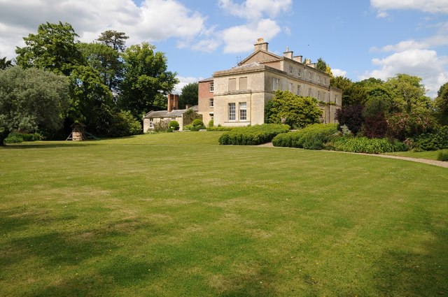
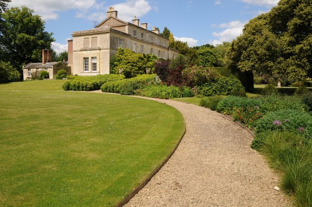
Hardwicke Court

Hardwicke Court is a Grade II* listed country house in Hardwicke, Gloucestershire, England. The house is Late Georgian in style. It was designed by Sir...

Quedgeley

Quedgeley is a town and former civil parish in the city of Gloucester in Gloucestershire, England. A thin strip of land between the Severn and the Gloucester...

Nearby Amenities

Located within 500m of 51.82098,-2.3081241
Bus Stop
Hardwicke Farm Turn
Naptan AtcoCode: 1600GLS1031
Naptan Bearing: NW
Naptan CommonName: Hardwicke Farm Turn
Naptan NaptanCode: gloatjtj
Naptan Street: Haywicks Ln
Naptan Verified: no
Source: naptan_import
Lat/Long: 51.8210081/-2.3047559
Bus Stop
Hardwicke Farm Turn
Naptan AtcoCode: 1600GLS1032
Naptan Bearing: SE
Naptan CommonName: Hardwicke Farm Turn
Naptan NaptanCode: gloatjtp
Naptan Street: Haywicks Ln
Naptan Verified: no
Source: naptan_import
Lat/Long: 51.8210442/-2.3046836
Power: tower
Source: Bing aerial imagery
Lat/Long: 51.8195289/-2.3018932
Barrier: stile
Material: wood
Source: Bing
Stile: stepover
Lat/Long: 51.8234084/-2.3074157
The data included in this document is from www.openstreetmap.org. The data is made available under ODbL.

Have you been to Hardwicke Farm Covert?

Leave your review of Hardwicke Farm Covert below (or comments, questions and feedback).