Well Wood

Wood, Forest in Staffordshire Stafford

England

Well Wood

Farm at The Rudge Well weathered red tin sheets cover most of the buildings.
Farm at The Rudge Credit: Simon Huguet

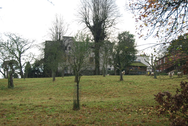
Well Wood is a charming woodland located in Staffordshire, England. Covering an area of approximately 100 acres, it offers a tranquil and picturesque setting for nature enthusiasts and outdoor lovers alike. This ancient forest is nestled in the heart of the Staffordshire countryside, providing a peaceful escape from the bustling city life.

Home to a diverse range of plant and animal species, Well Wood boasts a rich biodiversity. The woodland is predominantly composed of mature deciduous trees such as oak, beech, and ash, creating a dense canopy that provides shade and shelter for various wildlife. Walking through the wood, visitors can expect to encounter an array of native flora, including bluebells, wild garlic, and ferns, especially during the spring and summer months.

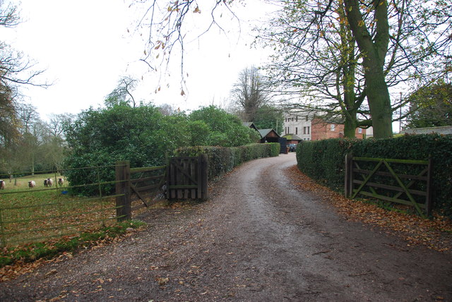
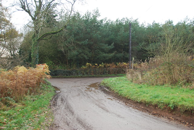
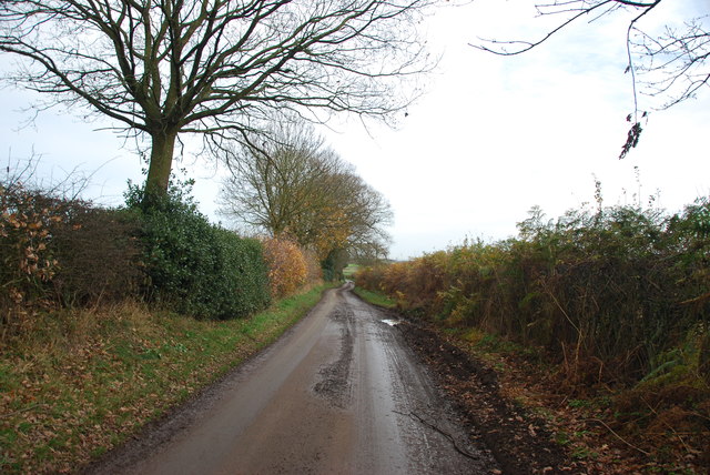
Well Wood features numerous well-maintained trails and footpaths, allowing visitors to explore the natural beauty of the area at their own pace. These paths lead to hidden gems within the forest, such as a small babbling brook and a peaceful pond, adding to the serene atmosphere of the wood.

With its tranquil ambiance and beautiful surroundings, Well Wood offers an ideal location for outdoor activities such as hiking, birdwatching, and photography. The wood is also a popular spot for picnics and family outings, providing ample space for relaxation and recreation.

Overall, Well Wood is a hidden gem in Staffordshire, offering visitors a chance to immerse themselves in the beauty of nature and escape the hustle and bustle of everyday life.

If you have any feedback on the listing, please let us know in the comments section below.
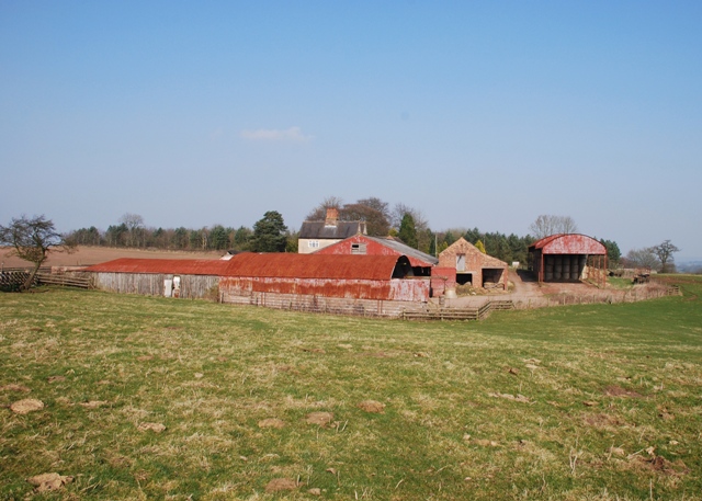
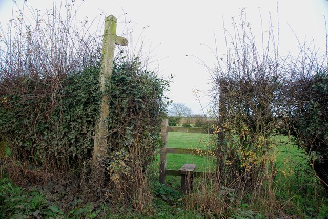
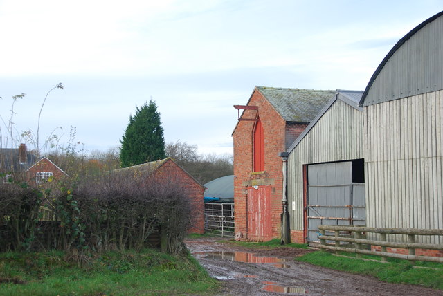
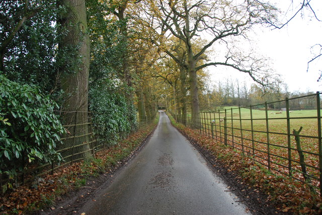
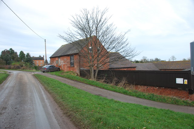
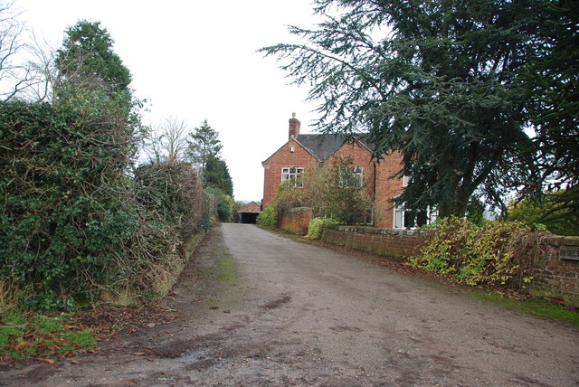
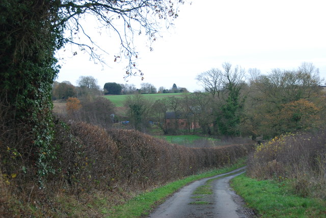
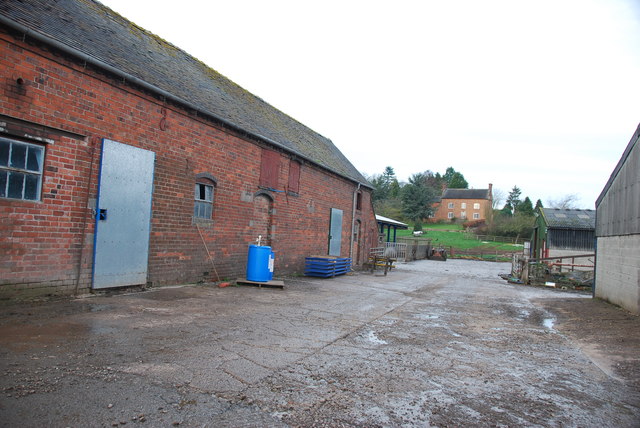
Well Wood Images

Images are sourced within 2km of 52.914972/-2.3322705 or Grid Reference SJ7735. Thanks to Geograph Open Source API. All images are credited.

Farm at The Rudge Well weathered red tin sheets cover most of the buildings.
Farm at The Rudge
Well weathered red tin sheets cover most of the buildings.
Stile and footpath to Chatcull
Entrance to Charnes Old Hall farm
Road through Charnes estate This road with its metal fences and avenue of trees, gives the impression that there is large estate nearby.   see link  <span class="nowrap"><a title="http://www.britishlistedbuildings.co.uk/en-272232-charnes-hall-eccleshall" rel="nofollow ugc noopener" href="http://www.britishlistedbuildings.co.uk/en-272232-charnes-hall-eccleshall">Link</a><img style="margin-left:2px;" alt="External link" title="External link - shift click to open in new window" src="https://s1.geograph.org.uk/img/external.png" width="10" height="10"/></span>
Road through Charnes estate
This road with its metal fences and avenue of trees, gives the impression that there is large estate nearby. see link LinkExternal link
Charnes Hall, Eccleshall It is a pity that this old hall is partly covered by trees.  see link  <span class="nowrap"><a title="http://www.britishlistedbuildings.co.uk/en-272232-charnes-hall-eccleshall" rel="nofollow ugc noopener" href="http://www.britishlistedbuildings.co.uk/en-272232-charnes-hall-eccleshall">Link</a><img style="margin-left:2px;" alt="External link" title="External link - shift click to open in new window" src="https://s1.geograph.org.uk/img/external.png" width="10" height="10"/></span>
Charnes Hall, Eccleshall
It is a pity that this old hall is partly covered by trees. see link LinkExternal link
The driveway to Charnes Hall
Looking back to a road junction near the Ashley Road Plantation
Narrow roadway leading to Bromley Mill Farm
Roadway past Bromley Mill Farm I can't find any information about this mill, and mill pool, which is out of sight on the left of picture.
Roadway past Bromley Mill Farm
I can't find any information about this mill, and mill pool, which is out of sight on the left of picture.
Entrance drive to Bromley Mill Farm House
Looking down towards the Bromley Brook Ford
Bromley Brook Ford between Podmore and Chatcull Do not be fooled by this ford, it is a lot deeper than it looks.
Bromley Brook Ford between Podmore and Chatcull
Do not be fooled by this ford, it is a lot deeper than it looks.
The yard at Bromley Mill Farm Bromley Mill farmhouse can be seen beyond the yard, it is in square SJ7835.
The yard at Bromley Mill Farm
Bromley Mill farmhouse can be seen beyond the yard, it is in square SJ7835.
Chatcull Ford This stone sett ford on the Bromley Brook is found at Chatcull.
Chatcull Ford
This stone sett ford on the Bromley Brook is found at Chatcull.
St John the Baptist Church, Ashley - monument to Sir Gilbert Gerard A very large monument to Sir Gilbert Gerard (†1592) and his wife (†1608). They are accompanied by two sons and six daughters.

<a href="https://www.geograph.org.uk/photo/4461166">SJ7636 : St John the Baptist Church, Ashley - monument to Sir Gilbert Gerard - detail (1)</a>
St John the Baptist Church, Ashley - monument to Sir Gilbert Gerard
A very large monument to Sir Gilbert Gerard (†1592) and his wife (†1608). They are accompanied by two sons and six daughters. SJ7636 : St John the Baptist Church, Ashley - monument to Sir Gilbert Gerard - detail (1)
St John the Baptist Church, Ashley - monument to Sir Gilbert Gerard - detail (1) Sir Gilbert Gerard (†1592) and his wife.

<a href="https://www.geograph.org.uk/photo/4461171">SJ7636 : St John the Baptist Church, Ashley - monument to Sir Gilbert Gerard - detail (2)</a>
St John the Baptist Church, Ashley - monument to Sir Gilbert Gerard - detail (1)
St John the Baptist Church, Ashley - monument to Sir Gilbert Gerard - detail (2) Sir Gilbert Gerard (†1592).
St John the Baptist Church, Ashley - monument to Sir Gilbert Gerard - detail (2)
Sir Gilbert Gerard (†1592).
St John the Baptist Church, Ashley View of the chancel with its painted ceiling and reredos.
St John the Baptist Church, Ashley
View of the chancel with its painted ceiling and reredos.
Show me another place!

Well Wood is located at Grid Ref: SJ7735 (Lat: 52.914972, Lng: -2.3322705)

Administrative County: Staffordshire

District: Stafford

Police Authority: Staffordshire

What 3 Words

///fetching.interlude.sprinter. Near Standon, Staffordshire

Related Wikis

Ashley, Staffordshire

Ashley is a village and former civil parish, now in the parish of Loggerheads, in the Newcastle-under-Lyme district, in the county of Staffordshire, England...

Maer, Staffordshire

Maer is a rural village and civil parish in the Borough of Newcastle-under-Lyme, Staffordshire, England, to the west of the pottery manufacturing town...

Coombesdale

Coombesdale is a small settlement in Staffordshire, England. It is near the A51 road and is 6 kilometres (4 mi) southwest of the city of Stoke-on-Trent...

Maer Hall

Maer Hall is a large Grade II listed 17th-century country house in Maer, Staffordshire, set in a park which is listed Grade II in Historic England's Register...

Croxton, Staffordshire

Croxton is a village on the B5026 between Eccleshall and Loggerheads. Population details for the 2011 census can be found under Eccleshall. It is notable...

Bowers, Staffordshire

Bowers is a village in Staffordshire, England. For population details as taken in the 2011 census see Standon.

Standon, Staffordshire

Standon is a village and civil parish in the Stafford district, in the county of Staffordshire, England. Standon has a church called Church of All Saints...

Berth Hill

Berth Hill is an Iron Age hillfort in Staffordshire, England, about 5 miles (8.0 km) south-west of Newcastle-under-Lyme, and near the village of Maer....

Nearby Amenities

Located within 500m of 52.914972,-2.3322705
Power: pole
Source: Bing
Lat/Long: 52.9182765/-2.3363464
Power: pole
Source: Bing
Lat/Long: 52.9176603/-2.3377439
Power: pole
Source: Bing
Lat/Long: 52.9158605/-2.3394953
Power: pole
Source: Bing
Lat/Long: 52.9188086/-2.335185
Power: pole
Source: Bing
Lat/Long: 52.9109434/-2.3295309
Power: pole
Source: Bing
Lat/Long: 52.9172805/-2.3308564
Power: pole
Source: Bing
Lat/Long: 52.915689/-2.3291393
Power: pole
Source: Bing
Lat/Long: 52.9142883/-2.3293056
Power: pole
Source: Bing
Lat/Long: 52.9167232/-2.3341665
Power: pole
Source: Bing
Lat/Long: 52.9121275/-2.3293968
Power: pole
Source: Bing
Lat/Long: 52.9170157/-2.3324626
Power: pole
Source: Bing
Lat/Long: 52.9175681/-2.3290964
Power: pole
Source: Bing
Lat/Long: 52.9132241/-2.329311
Power: pole
Source: Bing
Lat/Long: 52.9166649/-2.3291372
Power: pole
Source: Bing
Lat/Long: 52.9163549/-2.3364358
Power: pole
Source: Bing
Lat/Long: 52.9160804/-2.3381812
Barrier: stile
Lat/Long: 52.9185665/-2.3304929
Barrier: stile
Lat/Long: 52.9137193/-2.3363118
Barrier: stile
Lat/Long: 52.914588/-2.3270353
Power: pole
Lat/Long: 52.9182775/-2.3275444
The data included in this document is from www.openstreetmap.org. The data is made available under ODbL.

Have you been to Well Wood?

Leave your review of Well Wood below (or comments, questions and feedback).