Fifehead Wood

Wood, Forest in Dorset

England

Fifehead Wood

The Ship Inn, West Stour
The Ship Inn, West Stour Credit: Roger Cornfoot

Fifehead Wood is a picturesque woodland located in the county of Dorset, England. Covering an area of approximately 150 acres, this ancient forest is renowned for its diverse flora and fauna, making it a popular destination for nature enthusiasts and hikers alike.

The woodland is predominantly composed of broadleaf trees, including oak, beech, and ash. These towering giants create a dense canopy, casting dappled sunlight onto the forest floor below. The woodland is also home to a variety of smaller trees such as hawthorn, hazel, and birch, adding to its rich biodiversity.

Fifehead Wood is a designated Site of Special Scientific Interest (SSSI) due to its importance for wildlife conservation. The forest provides a habitat for numerous species, including rare birds like the lesser spotted woodpecker and the tawny owl. Additionally, the woodland is home to various mammals, such as deer, foxes, and badgers, which can occasionally be spotted by lucky visitors.

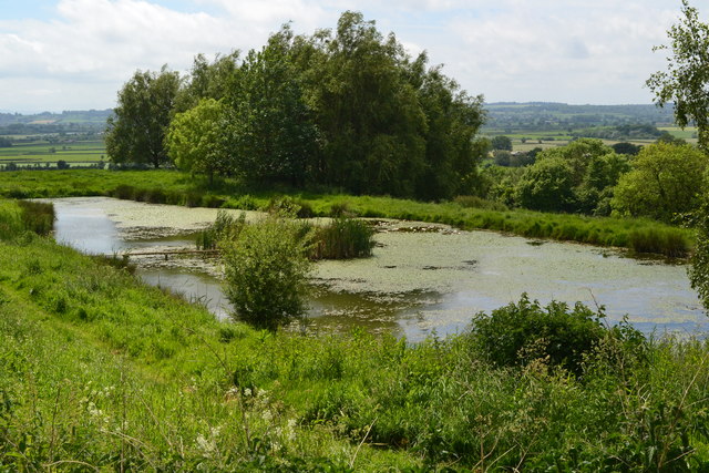
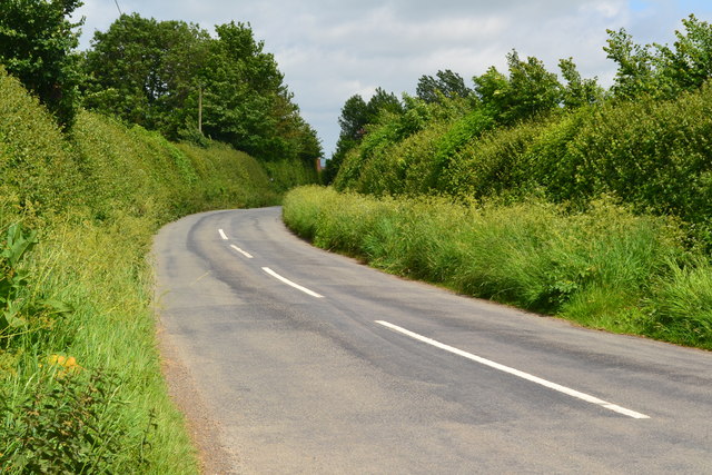
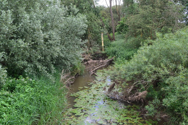
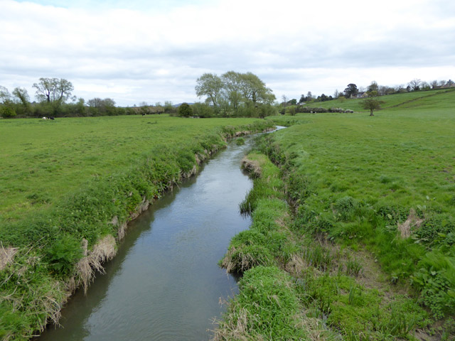
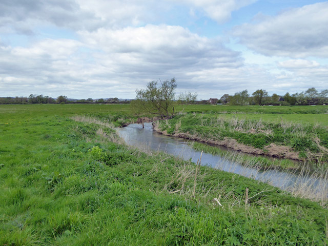
The wood is crisscrossed by a network of well-maintained footpaths, allowing visitors to explore its beauty at their own pace. As one traverses through the forest, they may encounter babbling brooks, charming glades, and peaceful ponds, enhancing the overall tranquility of the area.

Fifehead Wood offers a year-round spectacle of natural beauty. In spring, the forest floor is carpeted with vibrant bluebells and wild garlic, creating a sea of color and aroma. During the autumn months, the woodland is transformed into a tapestry of fiery reds, oranges, and yellows as the leaves change, providing a captivating display.

Overall, Fifehead Wood is a captivating natural haven that offers a true escape from the hustle and bustle of modern life. Its rich biodiversity and stunning scenery make it a must-visit destination for anyone seeking a peaceful retreat in the heart of Dorset.

If you have any feedback on the listing, please let us know in the comments section below.

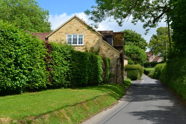
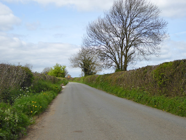
Fifehead Wood Images

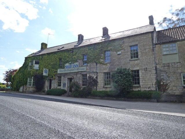
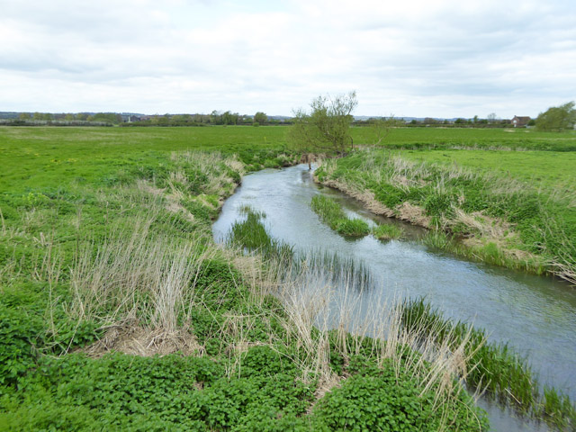
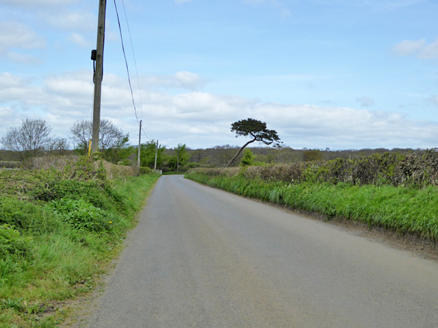
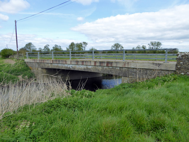
Images are sourced within 2km of 50.993913/-2.3206495 or Grid Reference ST7721. Thanks to Geograph Open Source API. All images are credited.

The Ship Inn, West Stour
Platinum Jubilee Kiosk Last repainted in July 2003, the kiosk now houses a mini-library, and most recently, a community defibrillator donated by a local benefactor.  To celebrate Her Majesty Queen Elizabeth's Platinum Jubilee the kiosk was refreshed with new Post Office red paint with the lettering and royal insignia highlighted in gold.
Platinum Jubilee Kiosk
Last repainted in July 2003, the kiosk now houses a mini-library, and most recently, a community defibrillator donated by a local benefactor. To celebrate Her Majesty Queen Elizabeth's Platinum Jubilee the kiosk was refreshed with new Post Office red paint with the lettering and royal insignia highlighted in gold.
River Stour below Mill Lane bridge Looking downstream.
River Stour below Mill Lane bridge
Looking downstream.
Road to Fifehead Magdalen The hedgerow conifer seems to have suffered some trauma in the past.
Road to Fifehead Magdalen
The hedgerow conifer seems to have suffered some trauma in the past.
Entering Fifehead Magdalen from the south-west
Chapel Hill, Kington Magna
All Saints' Church, Kington Magna
Pond below All Saints Church, Kington Magna
Church Hill, Kington Magna
Harpitts Lane
Harpitts Lane
Very overgrown River Cale at Five Bridges
Road north from Fifehead Magdalen
River Stour above Mill Lane bridge Looking upstream.
River Stour above Mill Lane bridge
Looking upstream.
Bridge on Mill Lane Over the River Stour.
Bridge on Mill Lane
Over the River Stour.
River Stour Looking downstream below Mill Lane bridge.
River Stour
Looking downstream below Mill Lane bridge.
The Riverside Cafe, West Stour
Petrol station on Lotmoor Hill, West Stour
Old Milepost, A30, Coking Farm, Kington Magna Parish The milestone was located opposite the farm entrance on the north side of the road. Parish of Kington Magna (North Dorset district). Cast iron post, Shaston casting design, erected by the Shaftesbury and New Road to Blandford turnpike trust in the 19th century. The milestone is now in a private garden barely visible from the roadside.

Inscription reads:-
SHERBORNE / 9 : : WEST STOWER : : SHASTON / 7

Milestone Society National ID: DO_SBSH09L
Old Milepost, A30, Coking Farm, Kington Magna Parish
The milestone was located opposite the farm entrance on the north side of the road. Parish of Kington Magna (North Dorset district). Cast iron post, Shaston casting design, erected by the Shaftesbury and New Road to Blandford turnpike trust in the 19th century. The milestone is now in a private garden barely visible from the roadside. Inscription reads:- SHERBORNE / 9 : : WEST STOWER : : SHASTON / 7 Milestone Society National ID: DO_SBSH09L
Show me another place!

Fifehead Wood is located at Grid Ref: ST7721 (Lat: 50.993913, Lng: -2.3206495)

Unitary Authority: Dorset

Police Authority: Dorset

What 3 Words

///scaffold.loosed.undercuts. Near Marnhull, Dorset

Related Wikis

Fifehead Wood

Fifehead Wood is a woodland in Dorset, England, near the village of Fifehead Magdalen. Owned and maintained by the Woodland Trust, Fifehead Wood covers...
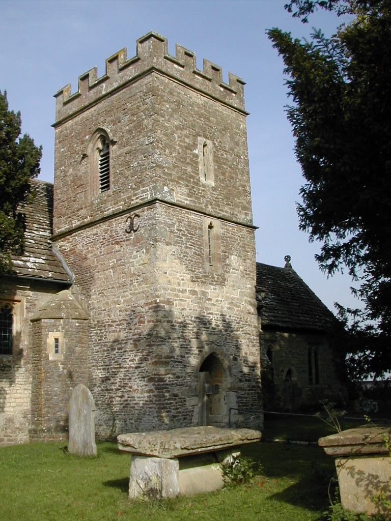
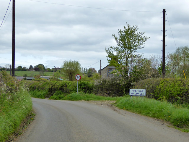
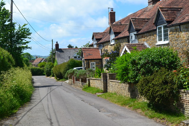
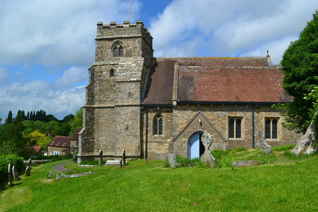
Fifehead Magdalen

Fifehead Magdalen is a small village and civil parish in the county of Dorset in southern England. It lies within the Blackmore Vale, about three miles...

West Stour, Dorset

West Stour is a village and civil parish situated in the Blackmore Vale area of North Dorset, England. It is one of a group of villages known as The Stours...

Stour Provost

Stour Provost is a village and civil parish in the Blackmore Vale area of north Dorset, England, situated on the River Stour between Sturminster Newton...

Kington Magna

Kington Magna is a village and civil parish in the Blackmore Vale area of Dorset, England, about 3+1⁄2 miles (5.5 kilometres) southwest of Gillingham....

Dorset and Somerset Air Ambulance

The Dorset and Somerset Air Ambulance is a registered charity, which uses a helicopter to provide an air ambulance service to the English counties of Dorset...

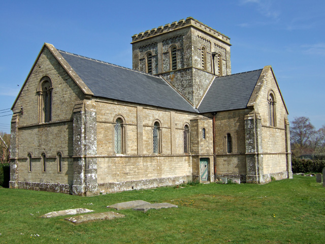
Christ Church, East Stour

Christ Church is a Church of England parish church in East Stour, Dorset, England. The church, a Grade II listed building, was designed by George Alexander...
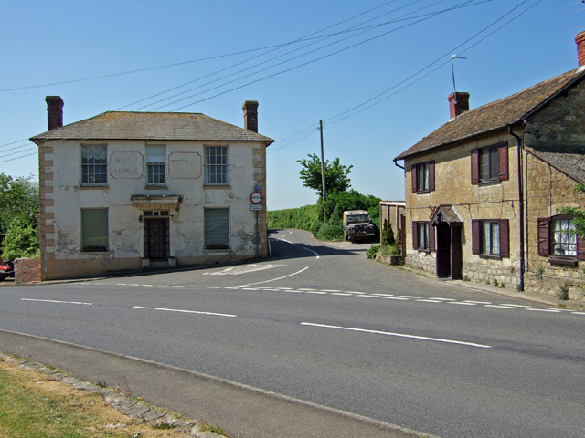
East Stour, Dorset

East Stour is a village and civil parish in the ceremonial county of Dorset in southern England. It lies within the Dorset administrative district, about...

Nearby Amenities

Located within 500m of 50.993913,-2.3206495
Barrier: stile
Foot: yes
Lat/Long: 50.9897329/-2.321999
Barrier: stile
Foot: yes
Lat/Long: 50.9923158/-2.3226348
Barrier: kissing_gate
Foot: yes
Lat/Long: 50.9939803/-2.3228363
Barrier: stile
Foot: yes
Lat/Long: 50.9910059/-2.3224493
Barrier: stile
Foot: yes
Lat/Long: 50.9963325/-2.3248634
Barrier: stile
Foot: yes
Lat/Long: 50.9942211/-2.3135457
Barrier: stile
Foot: yes
Lat/Long: 50.9924474/-2.3147195
Barrier: stile
Foot: yes
Lat/Long: 50.9936303/-2.3141909
Barrier: stile
Foot: yes
Lat/Long: 50.9943519/-2.3165181
Fifehead Magdalen
Place: village
Lat/Long: 50.9927377/-2.3151326
Parking
Lat/Long: 50.9934172/-2.3155363
Barrier: stile
Foot: yes
Lat/Long: 50.9966678/-2.3233997
Material: wood
Power: pole
Source: bing
Lat/Long: 50.9955489/-2.3264021
Material: wood
Power: pole
Source: bing
Lat/Long: 50.9960343/-2.3249835
Material: wood
Power: pole
Source: bing
Lat/Long: 50.9966062/-2.323268
Material: wood
Power: pole
Source: bing
Lat/Long: 50.996936/-2.3217726
Material: wood
Power: pole
Source: bing
Lat/Long: 50.99727/-2.3202107
Material: wood
Power: pole
Source: bing
Lat/Long: 50.9975633/-2.3185494
Fifehead Wood
Leaf Type: mixed
Operator: Woodland Trust
Place: locality
Wikidata: Q5447392
Wikipedia: en:Fifehead Wood
Lat/Long: 50.9932162/-2.3238698
Power: pole
Lat/Long: 50.9952057/-2.3186731
Power: pole
Lat/Long: 50.9960227/-2.3187831
Power: pole
Lat/Long: 50.9967891/-2.3188797
Power: pole
Lat/Long: 50.9922159/-2.3189601
Power: pole
Lat/Long: 50.9922125/-2.3175627
Power: pole
Lat/Long: 50.9939412/-2.3164925
Power: pole
Lat/Long: 50.9937657/-2.3175198
Power: pole
Lat/Long: 50.993607/-2.3184183
The data included in this document is from www.openstreetmap.org. The data is made available under ODbL.

Have you been to Fifehead Wood?

Leave your review of Fifehead Wood below (or comments, questions and feedback).