Rock Coppice

Wood, Forest in Worcestershire Wyre Forest

England

Rock Coppice

Heightington Road The lane climbs steeply on both sides of Gladder Brook's deeply incised valley.
Heightington Road Credit: Peter Whatley

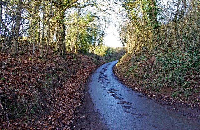
Rock Coppice is a woodland located in Worcestershire, England. Spanning over an area of approximately 100 hectares, it is a prominent natural landscape within the county. The coppice is named after the village of Rock which lies adjacent to the woodland.

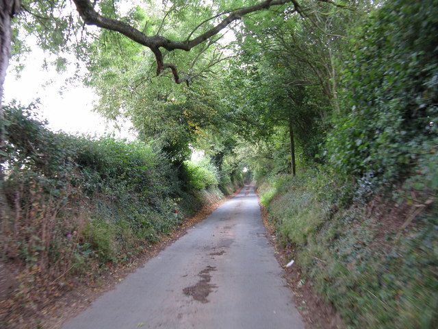
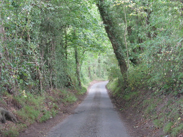
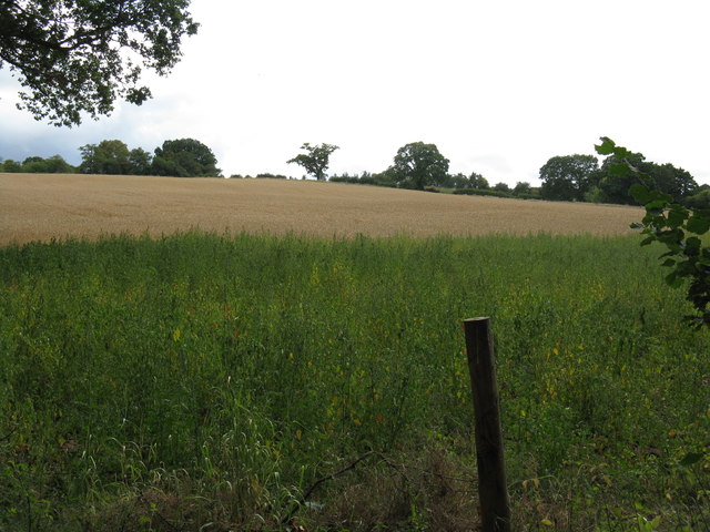
The forest is characterized by a diverse range of tree species, including oak, ash, birch, and beech. These trees create a dense canopy, providing shelter for numerous wildlife species. The woodland is also home to a variety of plants and shrubs, such as bluebells, wood anemones, and wild garlic, which create a colorful and vibrant undergrowth during the spring season.

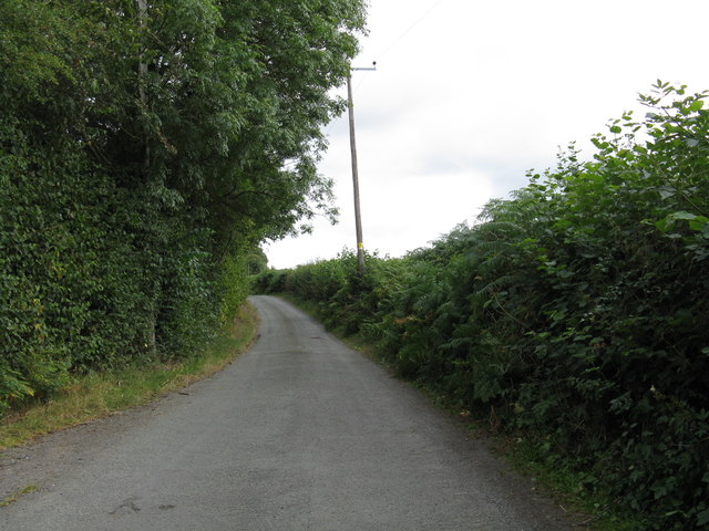
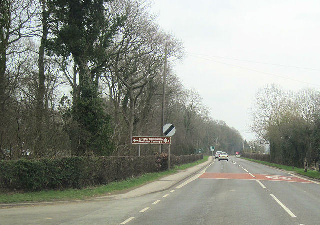
Rock Coppice offers a picturesque setting for nature enthusiasts and hikers alike. It features a network of well-maintained footpaths and trails that meander through the woodland, allowing visitors to explore its natural beauty. The trails provide opportunities for wildlife spotting, birdwatching, and peaceful walks amidst the tranquil surroundings.

The coppice also holds historical significance, with evidence of human activity dating back centuries. The remains of old charcoal hearths, used during the traditional practice of charcoal production, can be found scattered throughout the woodland. These remnants serve as a reminder of the area's past industrial importance.

Managed by local authorities, Rock Coppice is cherished for its ecological value and recreational opportunities. It serves as an important habitat for wildlife and contributes to the overall biodiversity of Worcestershire.

If you have any feedback on the listing, please let us know in the comments section below.
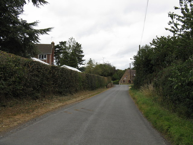
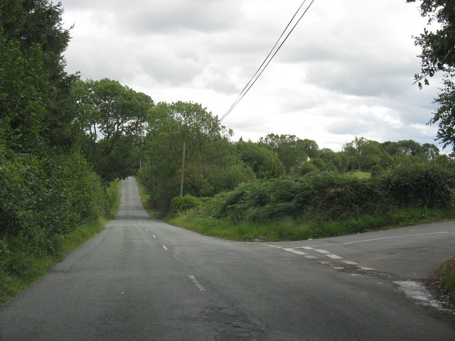
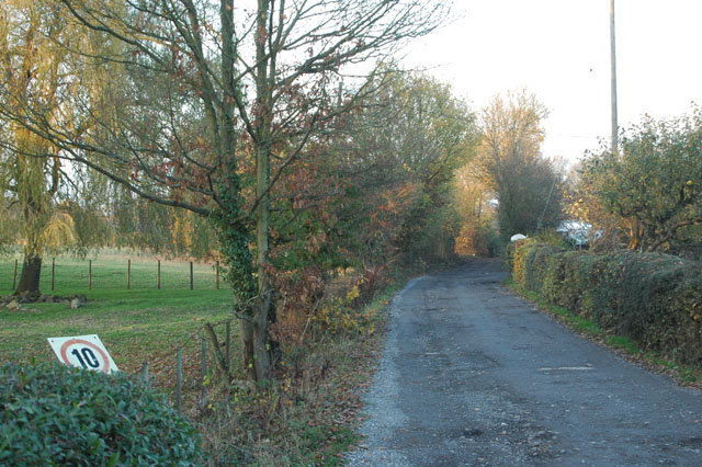
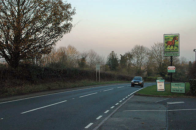
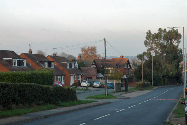
Rock Coppice Images

Images are sourced within 2km of 52.363595/-2.3417435 or Grid Reference SO7674. Thanks to Geograph Open Source API. All images are credited.

Heightington Road The lane climbs steeply on both sides of Gladder Brook's deeply incised valley.
Heightington Road
The lane climbs steeply on both sides of Gladder Brook's deeply incised valley.
Heightington Road near The Lodge
A456 at Alton Nursery
Lane junction at Cross Bank
Narrow lane south of Lye Head
Hillside south of Gladder Brook
Lane to Deasland Farm
Barn conversion near Deasland Farm
Pig playing the bagpipes One of a number of carvings from a 15th-century rood screen, now affixed to the pulpit in St Leonard's Church.  For more on this church see <span class="nowrap"><a title="http://greatenglishchurches.co.uk/html/ribbesford.html" rel="nofollow ugc noopener" href="http://greatenglishchurches.co.uk/html/ribbesford.html">Link</a><img style="margin-left:2px;" alt="External link" title="External link - shift click to open in new window" src="https://s1.geograph.org.uk/img/external.png" width="10" height="10"/></span>
Pig playing the bagpipes
One of a number of carvings from a 15th-century rood screen, now affixed to the pulpit in St Leonard's Church. For more on this church see LinkExternal link
Memorial to John Tiler The Bailiff of Bewdley is commemorated by one of the oldest memorials in St Leonard's Church, of simple painted stone:

1626
===
Here vnder lyeth
bvried, the bodie of
Iohn Tyler  Gent:
late Bayliffe of
Bewdlie, who dyed
the XXVIII daye of
Ianvarie, in the
yeare of ovr
Lord God,
-- 1626. --

For more on this church see <span class="nowrap"><a title="http://greatenglishchurches.co.uk/html/ribbesford.html" rel="nofollow ugc noopener" href="http://greatenglishchurches.co.uk/html/ribbesford.html">Link</a><img style="margin-left:2px;" alt="External link" title="External link - shift click to open in new window" src="https://s1.geograph.org.uk/img/external.png" width="10" height="10"/></span>
Memorial to John Tiler
The Bailiff of Bewdley is commemorated by one of the oldest memorials in St Leonard's Church, of simple painted stone: 1626 === Here vnder lyeth bvried, the bodie of Iohn Tyler Gent: late Bayliffe of Bewdlie, who dyed the XXVIII daye of Ianvarie, in the yeare of ovr Lord God, -- 1626. -- For more on this church see LinkExternal link
The Duke William
The Duke William
Keep your speed down
A456 at Long Bank
A456 at Long Bank
Bus stop at Hales Park
Heightington Road north of Gladder Brook ford, near Ribbesford A narrow lane which involves crossing a normally shallow ford.
Heightington Road north of Gladder Brook ford, near Ribbesford
A narrow lane which involves crossing a normally shallow ford.
Sunset over Wharton Park Bewdley
Sunset over Severn Valley towards Arley
A456 east approaching Visitor Centre Entrance Just east of Callow Hill, this is a Forestry Commission centre
A456 east approaching Visitor Centre Entrance
Just east of Callow Hill, this is a Forestry Commission centre
Show me another place!

Rock Coppice is located at Grid Ref: SO7674 (Lat: 52.363595, Lng: -2.3417435)

Administrative County: Worcestershire

District: Wyre Forest

Police Authority: West Mercia

What 3 Words

///gagging.brick.munch. Near Bewdley, Worcestershire

Related Wikis

Ribbesford

Ribbesford is a village and civil parish in the Wyre Forest District of Worcestershire, England. At the 2001 census it had a population of 237.Notable...

A456 road

Known as the Hagley Road in Birmingham, the A456 is a main road in England running between Central Birmingham and Woofferton, Shropshire, south of Ludlow...
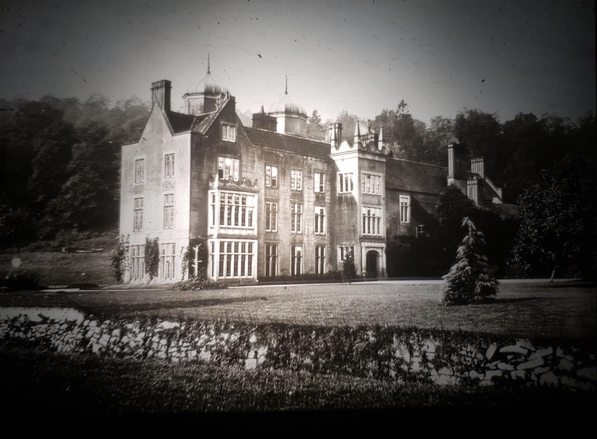
Ribbesford House

Ribbesford House is a historic English mansion in Ribbesford, near Bewdley, Worcestershire. The house and its surrounding estate have a history dating...

Tickenhill Palace

Tickenhill Palace (also known as Tickenhill House or Tickenhall Manor) is a historic building in Bewdley, Worcestershire, England. It is a grade II* listed...

Bewdley Town F.C.

Bewdley Town Football Club is a football club based in Bewdley, Worcestershire, England. They are currently members of the Midland League Premier Division...

Bewdley Guildhall

Bewdley Guildhall is a municipal building in Load Street in Bewdley, Worcestershire, England. The structure, which is the meeting place of Bewdley Town...

Bewdley Museum

Bewdley Museum is a museum in the town of Bewdley in Worcestershire, England. It is managed by the Wyre Forest District Council. == History == The Bewdley...

Bewdley

Bewdley ( pronunciation) is a town and civil parish in the Wyre Forest District in Worcestershire, England on the banks of the River Severn. It is in the...

Nearby Amenities

Located within 500m of 52.363595,-2.3417435
Restaurant
Lat/Long: 52.3595009/-2.3446991
Fixme: not sure chalet is right tag; probably hostel is better, but probably neither appropriate
Tourism: chalet
Lat/Long: 52.3596368/-2.3444389
Barrier: stile
Lat/Long: 52.3628081/-2.3348134
Bench
Source: survey
Lat/Long: 52.365676/-2.3379998
The data included in this document is from www.openstreetmap.org. The data is made available under ODbL.

Have you been to Rock Coppice?

Leave your review of Rock Coppice below (or comments, questions and feedback).