Long Bank

Settlement in Worcestershire Wyre Forest

England

Long Bank

Gated entrance to track in Wyre Forest near Bewdley There is both a kissing gate here, and a gate wide enough to let a vehicle pass through. On the other side is a track, with a rough stone surface, which makes a steep descent down to a pond and a steam.

<a href="https://www.geograph.org.uk/photo/2487006">SO7676 : Track to pond in Wyre Forest, near Bewdley</a>.
<a href="https://www.geograph.org.uk/photo/2487032">SO7676 : Pond and track in the Wyre Forest near Bewdley</a>.
Gated entrance to track in Wyre Forest near Bewdley Credit: P L Chadwick

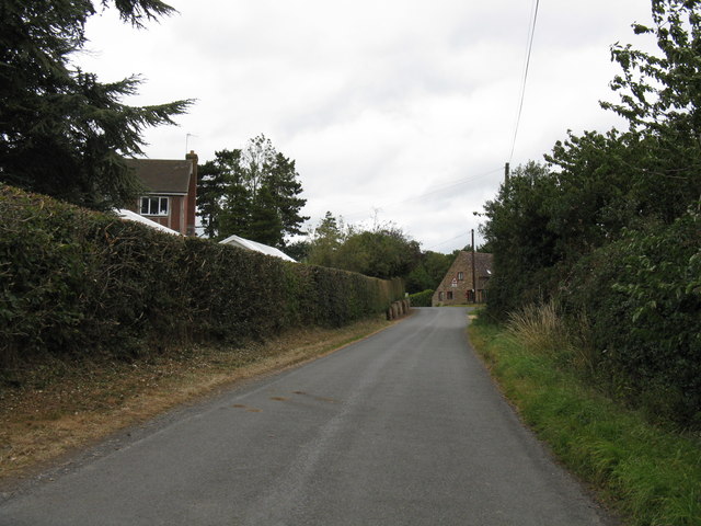
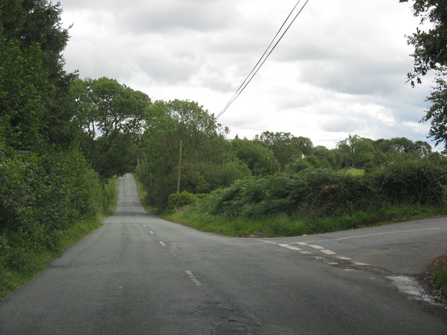
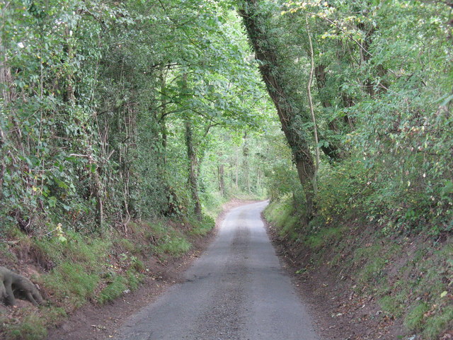
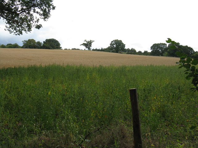
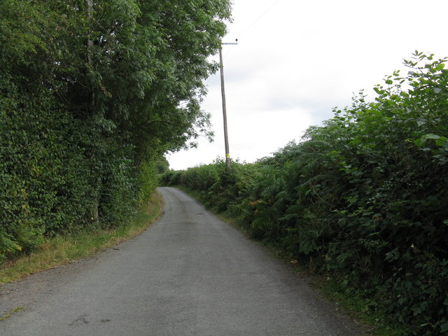
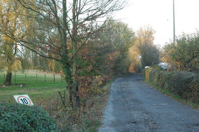
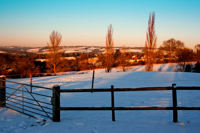
Long Bank is a small hamlet located in Worcestershire, England. Situated in the Wyre Forest District, it is nestled between the towns of Kidderminster and Bewdley. The hamlet is known for its tranquil countryside setting and picturesque views of the surrounding area.

Long Bank is primarily a residential area, with a small number of houses and cottages scattered throughout the countryside. The hamlet is characterized by its peaceful and idyllic atmosphere, making it a popular choice for those seeking a quiet and rural lifestyle.

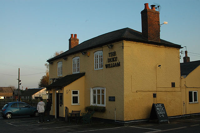
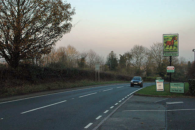
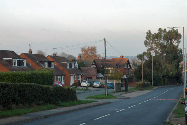
Despite its small size, Long Bank benefits from its proximity to nearby towns, providing residents with easy access to amenities and services. Kidderminster, located around 3 miles away, offers a wider range of shops, supermarkets, schools, and healthcare facilities. The charming town of Bewdley, situated just 2 miles to the west, is also easily accessible and provides further amenities, including a selection of restaurants, pubs, and leisure activities.

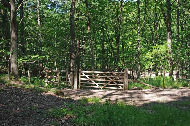
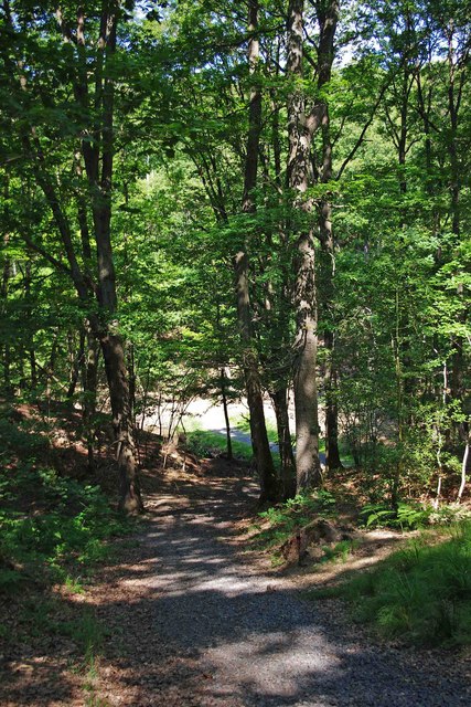
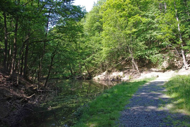
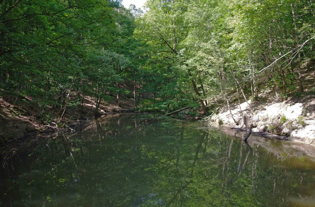
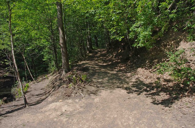
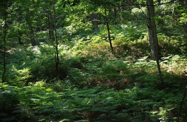
Nature lovers will appreciate Long Bank's close proximity to the Wyre Forest, one of the largest ancient oak woodlands in England. The forest offers numerous walking trails, cycle paths, and wildlife spotting opportunities, making it a popular destination for outdoor enthusiasts.

Overall, Long Bank offers a peaceful and rural lifestyle, surrounded by picturesque countryside and providing easy access to nearby towns and amenities.

If you have any feedback on the listing, please let us know in the comments section below.

Long Bank Images

Images are sourced within 2km of 52.366834/-2.348632 or Grid Reference SO7674. Thanks to Geograph Open Source API. All images are credited.

Gated entrance to track in Wyre Forest near Bewdley There is both a kissing gate here, and a gate wide enough to let a vehicle pass through. On the other side is a track, with a rough stone surface, which makes a steep descent down to a pond and a steam.

<a href="https://www.geograph.org.uk/photo/2487006">SO7676 : Track to pond in Wyre Forest, near Bewdley</a>.
<a href="https://www.geograph.org.uk/photo/2487032">SO7676 : Pond and track in the Wyre Forest near Bewdley</a>.
Gated entrance to track in Wyre Forest near Bewdley
There is both a kissing gate here, and a gate wide enough to let a vehicle pass through. On the other side is a track, with a rough stone surface, which makes a steep descent down to a pond and a steam. SO7676 : Track to pond in Wyre Forest, near Bewdley. SO7676 : Pond and track in the Wyre Forest near Bewdley.
Track to pond in Wyre Forest, near Bewdley The pond is at the bottom of the track, but not visible in this photograph.

<a href="https://www.geograph.org.uk/photo/2486986">SO7676 : Gated entrance to track in Wyre Forest near Bewdley</a>.
<a href="https://www.geograph.org.uk/photo/2487032">SO7676 : Pond and track in the Wyre Forest near Bewdley</a>.
Track to pond in Wyre Forest, near Bewdley
The pond is at the bottom of the track, but not visible in this photograph. SO7676 : Gated entrance to track in Wyre Forest near Bewdley. SO7676 : Pond and track in the Wyre Forest near Bewdley.
Pond and track in the Wyre Forest near Bewdley The pond is on the left but difficult to see, as its surface is reflecting the trees which hang overhead. It is one of several which are linked by a small stream, and appears to be either artificial or enlarged from the original.

<a href="https://www.geograph.org.uk/photo/2486986">SO7676 : Gated entrance to track in Wyre Forest near Bewdley</a>.
<a href="https://www.geograph.org.uk/photo/2487006">SO7676 : Track to pond in Wyre Forest, near Bewdley</a>.
<a href="https://www.geograph.org.uk/photo/2487054">SO7676 : Pond in Wyre Forest near Bewdley</a>.
Pond and track in the Wyre Forest near Bewdley
The pond is on the left but difficult to see, as its surface is reflecting the trees which hang overhead. It is one of several which are linked by a small stream, and appears to be either artificial or enlarged from the original. SO7676 : Gated entrance to track in Wyre Forest near Bewdley. SO7676 : Track to pond in Wyre Forest, near Bewdley. SO7676 : Pond in Wyre Forest near Bewdley.
Pond in Wyre Forest near Bewdley The pond may be artificial or artificially enlarged. It lies on a stream which runs through the forest.

<a href="https://www.geograph.org.uk/photo/2487032">SO7676 : Pond and track in the Wyre Forest near Bewdley</a>.
Pond in Wyre Forest near Bewdley
The pond may be artificial or artificially enlarged. It lies on a stream which runs through the forest. SO7676 : Pond and track in the Wyre Forest near Bewdley.
Junction of two paths in the Wyre Forest near Bewdley The lower path runs alongside a pond. The other path climbs steeply.

<a href="https://www.geograph.org.uk/photo/2487054">SO7676 : Pond in Wyre Forest near Bewdley</a>.
Junction of two paths in the Wyre Forest near Bewdley
The lower path runs alongside a pond. The other path climbs steeply. SO7676 : Pond in Wyre Forest near Bewdley.
Ferns in the Wyre Forest near Bewdley Ferns were flourishing in this area.
Ferns in the Wyre Forest near Bewdley
Ferns were flourishing in this area.
Heightington Road near The Lodge
A456 at Alton Nursery
Lane junction at Cross Bank
Narrow lane south of Lye Head
Hillside south of Gladder Brook
Lane to Deasland Farm
The Duke William
The Duke William
Keep your speed down
A456 at Long Bank
A456 at Long Bank
Bus stop at Hales Park
Sunset over Wharton Park Bewdley
Sunset over Severn Valley towards Arley
Show me another place!

Long Bank is located at Grid Ref: SO7674 (Lat: 52.366834, Lng: -2.348632)

Administrative County: Worcestershire

District: Wyre Forest

Police Authority: West Mercia

What 3 Words

///vital.hamper.blink. Near Bewdley, Worcestershire

Related Wikis

A456 road

Known as the Hagley Road in Birmingham, the A456 is a main road in England running between Central Birmingham and Woofferton, Shropshire, south of Ludlow...

Ribbesford

Ribbesford is a village and civil parish in the Wyre Forest District of Worcestershire, England. At the 2001 census it had a population of 237.Notable...

Knowles Mill

Knowles Mill is the remains of an eighteenth-century water-powered grain mill, located in the Wyre Forest in Worcestershire, England. The mill has been...

Tickenhill Palace

Tickenhill Palace (also known as Tickenhill House or Tickenhall Manor) is a historic building in Bewdley, Worcestershire, England. It is a grade II* listed...

Nearby Amenities

Located within 500m of 52.366834,-2.348632
Man Made: reservoir_covered
Lat/Long: 52.3657669/-2.3545665
The data included in this document is from www.openstreetmap.org. The data is made available under ODbL.

Have you been to Long Bank?

Leave your review of Long Bank below (or comments, questions and feedback).