Bathwick Wood
Wood, Forest in Somerset
England
Bathwick Wood
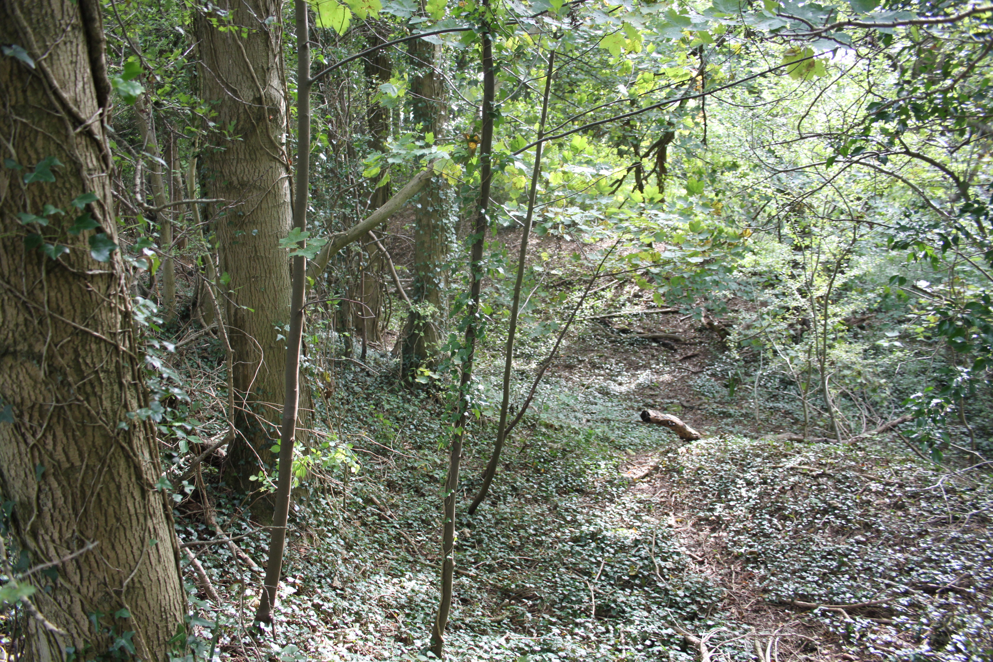
Bathwick Wood is a picturesque woodland located in Somerset, England. Situated on the outskirts of the historic city of Bath, this forested area covers approximately 100 acres of land. Bathwick Wood is known for its diverse range of tree species, including oak, beech, ash, and birch, which create a vibrant and lush canopy overhead.
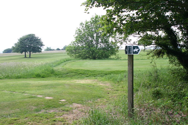
The wood is a popular destination for nature enthusiasts and walkers, offering a tranquil escape from the hustle and bustle of urban life. There are several well-maintained trails that wind their way through the wood, allowing visitors to explore its beauty at their own pace. The paths are relatively flat and easy to navigate, making Bathwick Wood accessible for people of all ages and abilities.
Wildlife thrives within Bathwick Wood, with a variety of bird species, such as woodpeckers and jays, calling the area home. Squirrels can also be spotted darting between the trees, adding to the charm and natural ambiance of the wood.
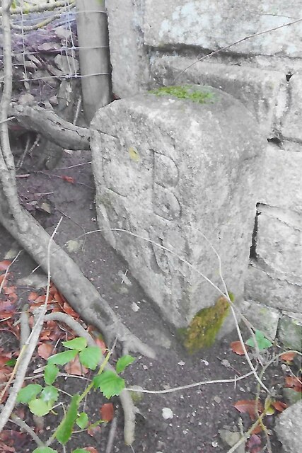
In addition to its natural beauty, Bathwick Wood also holds historical significance. The wood was once part of the extensive estates of the Bathwick House, an 18th-century mansion that no longer stands. Remnants of the house can still be found within the wood, including old walls and foundations, giving visitors a glimpse into the area's past.
Overall, Bathwick Wood offers a peaceful retreat for those seeking a connection with nature. With its idyllic setting, diverse flora and fauna, and historical remnants, it is a must-visit destination for anyone exploring the Somerset region.
If you have any feedback on the listing, please let us know in the comments section below.
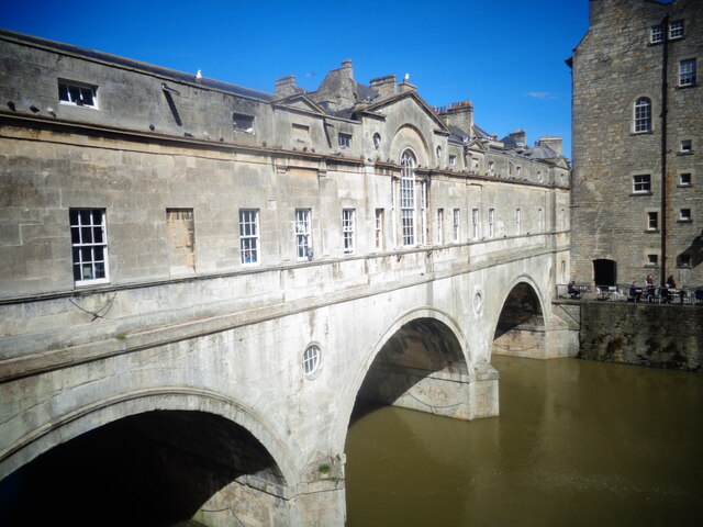
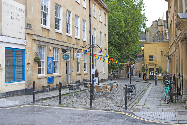
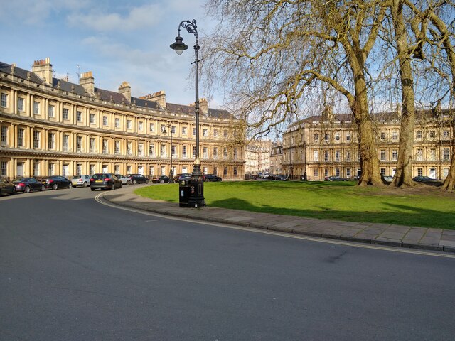
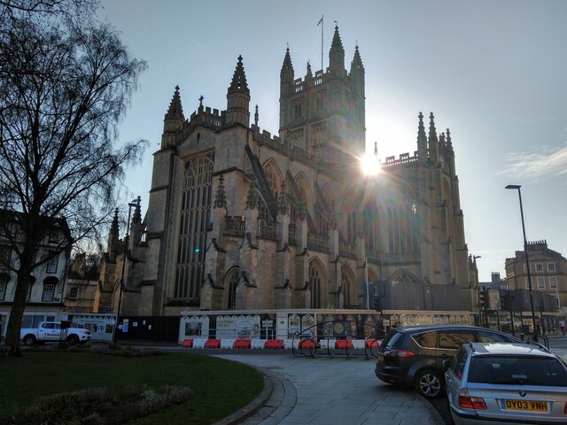
Bathwick Wood Images
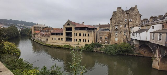
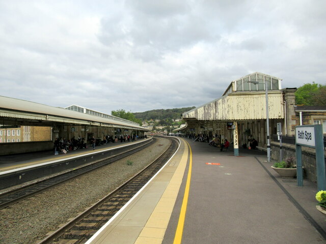
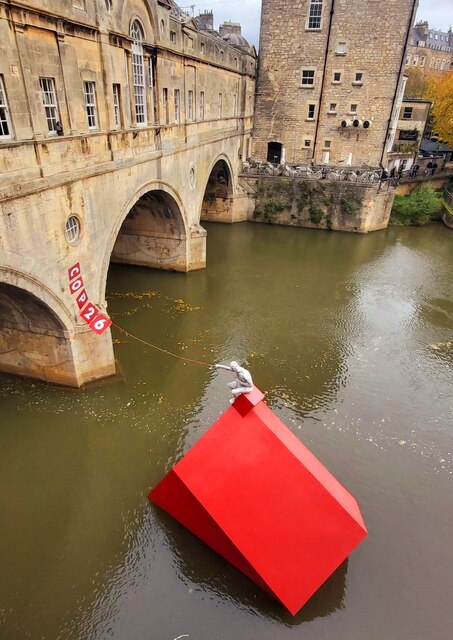
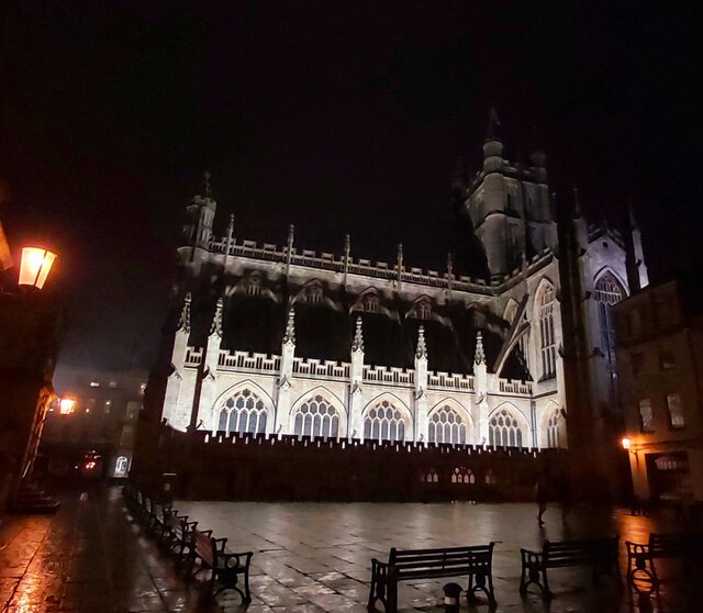
Images are sourced within 2km of 51.38547/-2.3362707 or Grid Reference ST7665. Thanks to Geograph Open Source API. All images are credited.


Bathwick Wood is located at Grid Ref: ST7665 (Lat: 51.38547, Lng: -2.3362707)
Unitary Authority: Bath and North East Somerset
Police Authority: Avon and Somerset
What 3 Words
///tape.beast.librarian. Near Bath, Somerset
Nearby Locations
Related Wikis
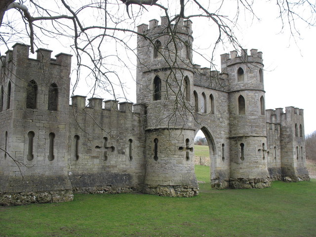
Sham Castle
Sham Castle is a folly on Claverton Down overlooking the city of Bath, Somerset, England. It is a Grade II* listed building. It is a screen wall with a...

King Edward's School, Bath
King Edward's School (KES), Bath, Somerset, England is an independent co-educational day school providing education for 1,134 pupils aged 3 to 18. The...
North Road Quarry, Bath
North Road Quarry, Bath (grid reference ST767646) is a 0.3 hectare geological Site of Special Scientific Interest close to Sham Castle in the city of Bath...
Bathampton Down
Bathampton Down is a flat limestone plateau in Bathampton, Somerset, England, overlooking the River Avon and the city of Bath. There is evidence of man...
Nearby Amenities
Located within 500m of 51.38547,-2.3362707Have you been to Bathwick Wood?
Leave your review of Bathwick Wood below (or comments, questions and feedback).