Locketts Copse
Wood, Forest in Dorset
England
Locketts Copse
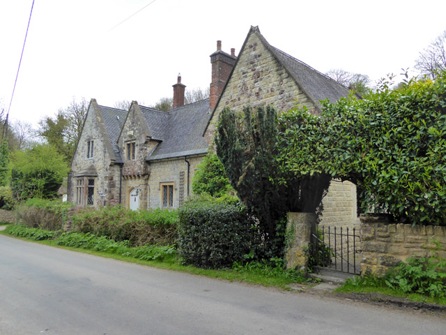
Locketts Copse is a charming woodland area located in the county of Dorset, England. Situated near the town of Wareham, this copse is a haven for nature enthusiasts and those seeking a peaceful retreat.
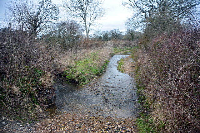
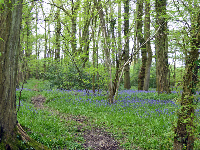
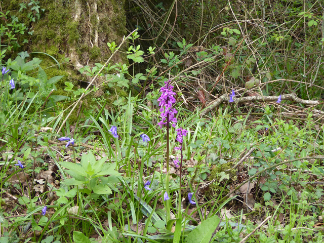
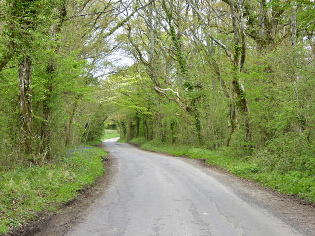
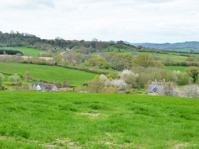
Covering an area of approximately 10 hectares, Locketts Copse is primarily composed of mixed broadleaf trees, including oak, beech, and ash. The forest floor is adorned with a carpet of bluebells during the springtime, creating a picturesque and tranquil scene. The copse is also home to a diverse range of wildlife, with deer, badgers, and various bird species frequently spotted by visitors.
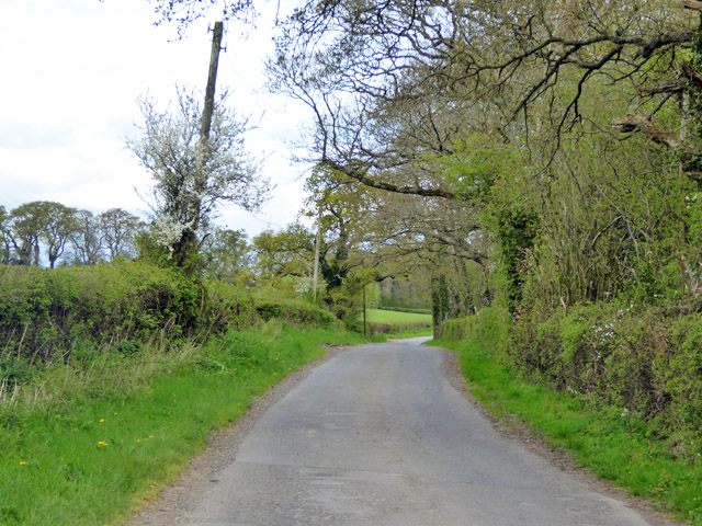
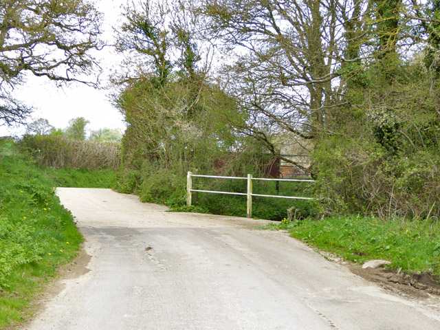
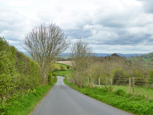
Visitors to Locketts Copse can enjoy a network of well-maintained footpaths that wind their way through the woodland, providing ample opportunities for leisurely walks and exploring the natural surroundings. The copse is particularly popular among hikers and dog walkers, offering a serene and scenic backdrop for outdoor activities.
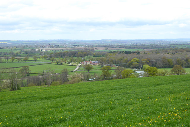
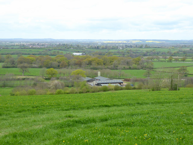
Additionally, Locketts Copse is part of the larger Wareham Forest complex, which stretches over 1,500 hectares. This interconnected forest provides ample opportunities for further exploration, with various trails and paths leading to other parts of the forest, such as Puddletown Forest and Morden Bog National Nature Reserve.
Overall, Locketts Copse in Dorset offers a delightful escape into nature, with its ancient trees, enchanting bluebell displays, and abundant wildlife. Whether one seeks a peaceful stroll or a more adventurous hike, this woodland sanctuary provides an idyllic setting for outdoor enthusiasts and nature lovers alike.
If you have any feedback on the listing, please let us know in the comments section below.
Locketts Copse Images
Images are sourced within 2km of 50.870514/-2.3325206 or Grid Reference ST7607. Thanks to Geograph Open Source API. All images are credited.


Locketts Copse is located at Grid Ref: ST7607 (Lat: 50.870514, Lng: -2.3325206)
Unitary Authority: Dorset
Police Authority: Dorset
What 3 Words
///tarred.rents.chess. Near Sturminster Newton, Dorset
Nearby Locations
Related Wikis

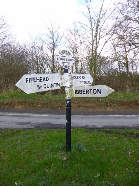
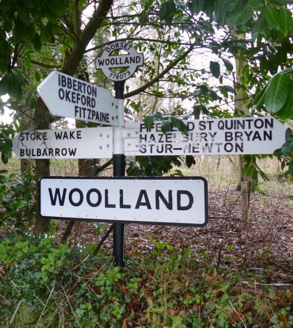
Woolland
Woolland is a village and civil parish in north Dorset, England, situated in the Blackmore Vale under Bulbarrow Hill 7 miles (11 km) west of Blandford...

Stoke Wake
Stoke Wake is a hamlet and civil parish, formerly part of the Whiteway hundred in north Dorset, England. It is situated under Bulbarrow Hill on the edge...

Ibberton
Ibberton is a village and civil parish in the county of Dorset in southern England. It is situated in the Blackmore Vale under the scarp face of the Dorset...

Bulbarrow Hill
Bulbarrow Hill is a 274 metres (899 ft) hill near Woolland, five miles west of Blandford Forum and ten miles (16 km) north of Dorchester in Dorset, England...
Nearby Amenities
Located within 500m of 50.870514,-2.3325206Have you been to Locketts Copse?
Leave your review of Locketts Copse below (or comments, questions and feedback).