Bathampton Warren
Downs, Moorland in Somerset
England
Bathampton Warren
Bathampton Warren is a picturesque area located in Somerset, England, known for its stunning downs and moorland. Situated just a few miles from the historic city of Bath, it offers a tranquil escape from the hustle and bustle of urban life.
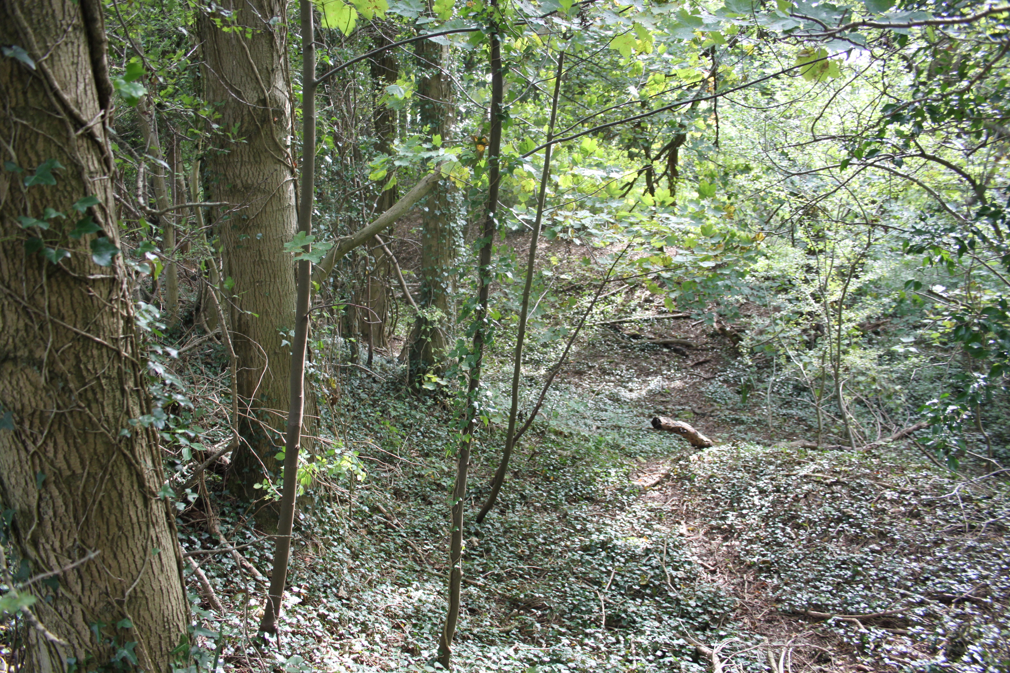
Covering an area of approximately 200 acres, Bathampton Warren is a nature lover's paradise. Its diverse landscape encompasses rolling hills, open grasslands, and patches of dense woodland, providing a haven for a wide range of plant and animal species. Visitors can expect to encounter an array of wildlife, including rabbits, foxes, and various species of birds.
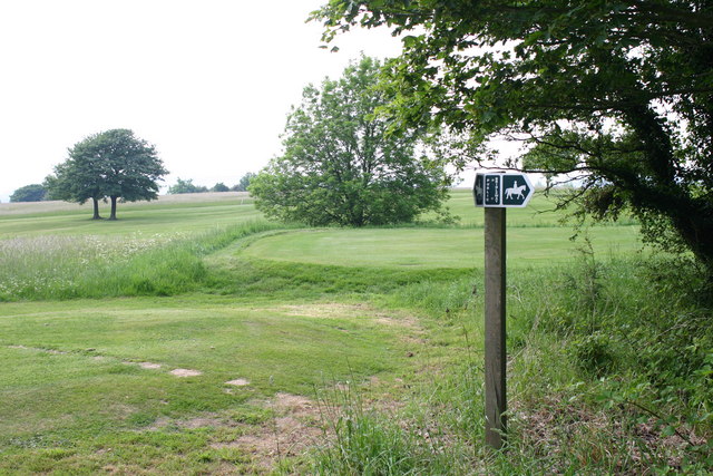
The downs of Bathampton Warren are a prominent feature, offering breathtaking panoramic views of the surrounding countryside. These grassy slopes are perfect for leisurely walks, picnics, or even kite flying. The moorland, on the other hand, is characterized by its heather-covered expanses and meandering footpaths, providing ample opportunities for hikers and nature enthusiasts to explore the area.
Bathampton Warren also boasts a rich historical heritage. The remnants of an Iron Age hillfort can be found on the downs, offering a glimpse into the area's ancient past. Additionally, the site has been used for centuries as common land, where locals would graze their livestock.
Overall, Bathampton Warren is a place of natural beauty and tranquility, offering visitors the chance to immerse themselves in the stunning landscapes and rich history of the Somerset countryside. Whether it's for a peaceful stroll, a family picnic, or a nature walk, this area is sure to captivate all who venture here.
If you have any feedback on the listing, please let us know in the comments section below.
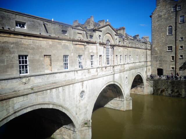
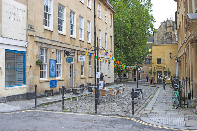
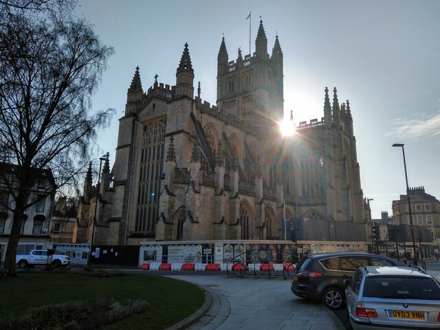
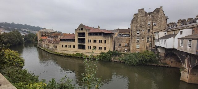
Bathampton Warren Images
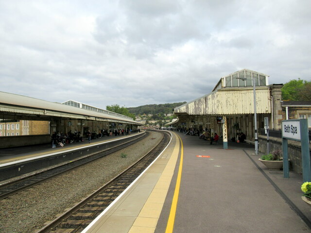
Images are sourced within 2km of 51.384866/-2.3336222 or Grid Reference ST7665. Thanks to Geograph Open Source API. All images are credited.


Bathampton Warren is located at Grid Ref: ST7665 (Lat: 51.384866, Lng: -2.3336222)
Unitary Authority: Bath and North East Somerset
Police Authority: Avon and Somerset
What 3 Words
///hidden.lamps.elaborate. Near Bath, Somerset
Nearby Locations
Related Wikis
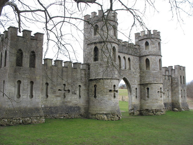
Sham Castle
Sham Castle is a folly on Claverton Down overlooking the city of Bath, Somerset, England. It is a Grade II* listed building. It is a screen wall with a...
Bathampton Down
Bathampton Down is a flat limestone plateau in Bathampton, Somerset, England, overlooking the River Avon and the city of Bath. There is evidence of man...
North Road Quarry, Bath
North Road Quarry, Bath (grid reference ST767646) is a 0.3 hectare geological Site of Special Scientific Interest close to Sham Castle in the city of Bath...

University of Bath
The University of Bath is a public research university in Bath, England. It received its royal charter in 1966, along with a number of other institutions...
Nearby Amenities
Located within 500m of 51.384866,-2.3336222Have you been to Bathampton Warren?
Leave your review of Bathampton Warren below (or comments, questions and feedback).