Kate's Copse

Wood, Forest in Dorset

England

Kate's Copse

Ascending Bulbarrow Hill The Bulbarrow Hill of the last verse of Thomas Hardy's poem 'Wessex Heights':


So I am found on Ingpen Beacon, or on Wylls-Neck to the west, 
Or else on homely Bulbarrow, or little Pilsdon Crest, 
Where men have never cared to haunt, nor women have walked with me, 
And ghosts then keep their distance; and I know some liberty.
Ascending Bulbarrow Hill Credit: Becky Williamson

Kate's Copse is a picturesque woodland located in the county of Dorset, England. Nestled in the heart of the beautiful Dorset countryside, this copse is a haven for nature enthusiasts and those seeking tranquility amidst the hustle and bustle of modern life.

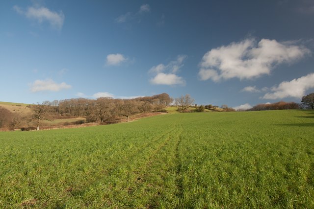
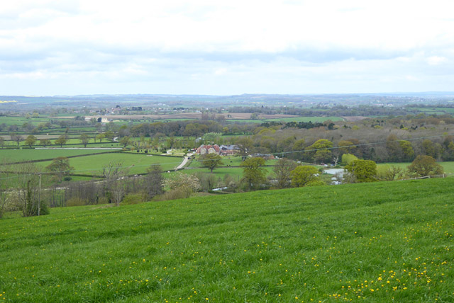
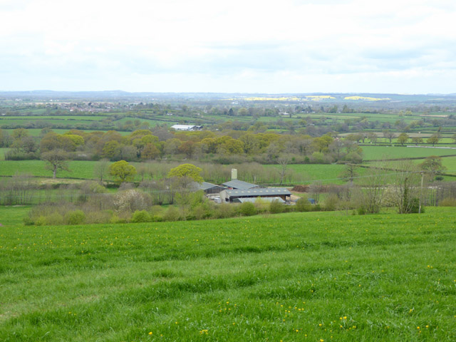
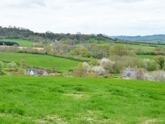
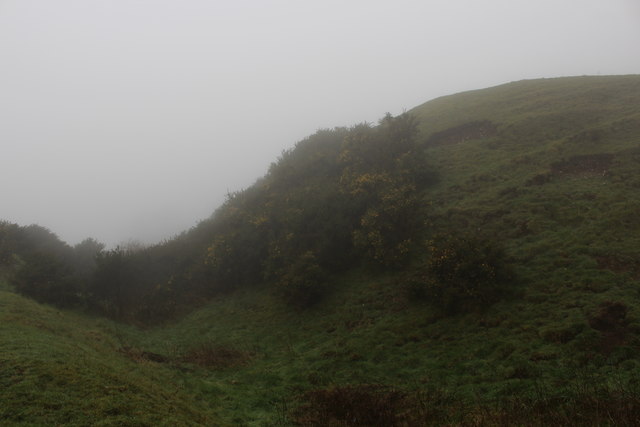
Covering an area of approximately 20 acres, Kate's Copse is characterized by its dense canopy of deciduous trees, predominantly oak and beech, creating a stunning display of vibrant colors during autumn. The forest floor is adorned with a rich carpet of wildflowers and ferns, adding to the copse's natural charm.

The copse is home to a diverse array of wildlife, including various bird species such as woodpeckers, owls, and songbirds. Mammals such as deer, foxes, and badgers can also be spotted, making it a popular spot for wildlife enthusiasts and photographers. Moreover, the copse is known for its abundance of butterflies and insects, attracting nature lovers who appreciate the intricate beauty of these creatures.

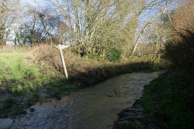
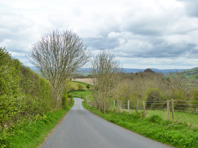
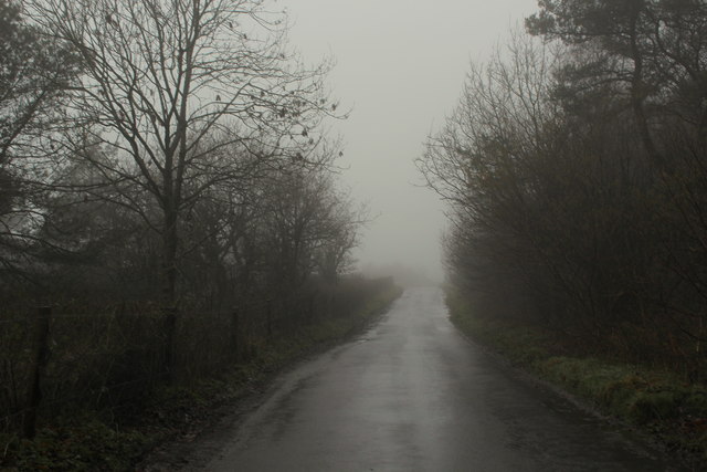
For those who enjoy walking and exploring, there are numerous well-maintained trails crisscrossing the copse, allowing visitors to immerse themselves in its natural splendor. These trails offer stunning views of the surrounding countryside and provide ample opportunities for birdwatching and photography.

Kate's Copse is not only a haven for wildlife but also a vital part of the local ecosystem, providing a habitat for rare and endangered species. It is also a popular destination for educational visits, where visitors can learn about the importance of conservation and sustainable woodland management.

Overall, Kate's Copse in Dorset offers a serene escape from the modern world, allowing visitors to reconnect with nature and appreciate the beauty of a traditional English woodland.

If you have any feedback on the listing, please let us know in the comments section below.
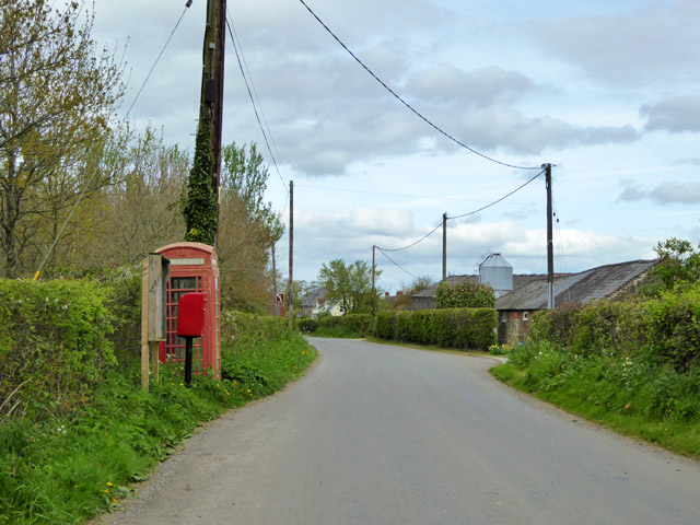
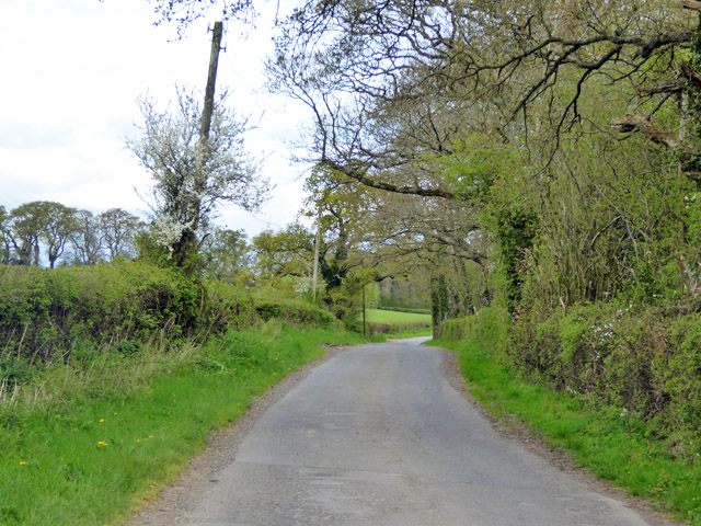
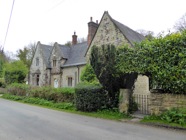
Kate's Copse Images

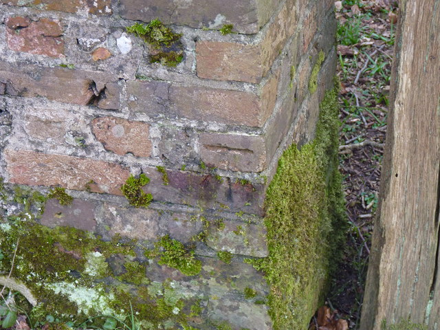
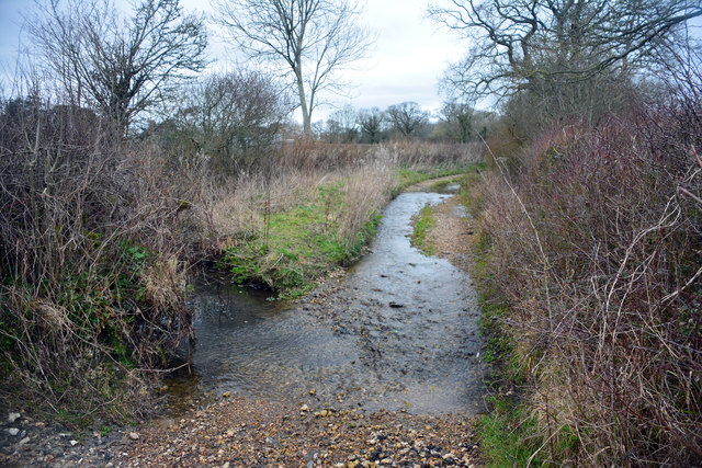
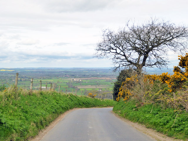
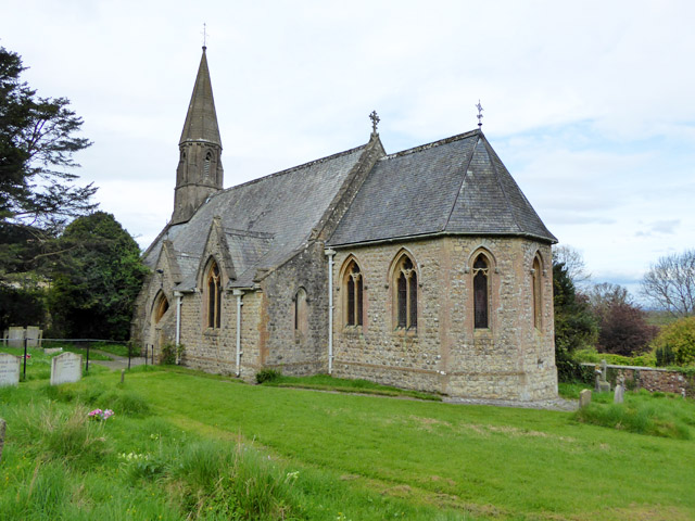
Images are sourced within 2km of 50.860593/-2.3330609 or Grid Reference ST7606. Thanks to Geograph Open Source API. All images are credited.

Ascending Bulbarrow Hill The Bulbarrow Hill of the last verse of Thomas Hardy's poem 'Wessex Heights':


So I am found on Ingpen Beacon, or on Wylls-Neck to the west, 
Or else on homely Bulbarrow, or little Pilsdon Crest, 
Where men have never cared to haunt, nor women have walked with me, 
And ghosts then keep their distance; and I know some liberty.
Ascending Bulbarrow Hill
The Bulbarrow Hill of the last verse of Thomas Hardy's poem 'Wessex Heights': So I am found on Ingpen Beacon, or on Wylls-Neck to the west, Or else on homely Bulbarrow, or little Pilsdon Crest, Where men have never cared to haunt, nor women have walked with me, And ghosts then keep their distance; and I know some liberty.
Flooded bridleway ford at Crockers Farm Almost impassable!
Flooded bridleway ford at Crockers Farm
Almost impassable!
Phone mast, Bulbarrow Hill If you look carefully on the right hand side, about half-way up, you can see two work men dangling.
Phone mast, Bulbarrow Hill
If you look carefully on the right hand side, about half-way up, you can see two work men dangling.
Wall at Delcombe Head There is an Ordnance Survey benchmark on the wall end. See <span class="nowrap"><a title="http://www.bench-marks.org.uk/bm47073" rel="nofollow ugc noopener" href="http://www.bench-marks.org.uk/bm47073">Link</a><img style="margin-left:2px;" alt="External link" title="External link - shift click to open in new window" src="https://s1.geograph.org.uk/img/external.png" width="10" height="10"/></span> for description and <a href="https://www.geograph.org.uk/photo/4863413">ST7805 : Benchmark on wall, Delcombe Head</a> for closer picture.
Wall at Delcombe Head
There is an Ordnance Survey benchmark on the wall end. See LinkExternal link for description and ST7805 : Benchmark on wall, Delcombe Head for closer picture.
Benchmark on wall, Delcombe Head Ordnance Survey benchmark, described on database at <span class="nowrap"><a title="http://www.bench-marks.org.uk/bm47073" rel="nofollow ugc noopener" href="http://www.bench-marks.org.uk/bm47073">Link</a><img style="margin-left:2px;" alt="External link" title="External link - shift click to open in new window" src="https://s1.geograph.org.uk/img/external.png" width="10" height="10"/></span>. For context photo, see <a href="https://www.geograph.org.uk/photo/4863400">ST7805 : Wall at Delcombe Head</a>.
Benchmark on wall, Delcombe Head
Ordnance Survey benchmark, described on database at LinkExternal link. For context photo, see ST7805 : Wall at Delcombe Head.
Ibberton Ford This ford at Marsh Farm, Ibberton runs along the byway for about 50 metres.
Ibberton Ford
This ford at Marsh Farm, Ibberton runs along the byway for about 50 metres.
View north-west from Bulbarrow Hill
Woolland church A grade II listed building, about 1857. 'Unknown dedication' - odd for such a late church, surely someone must know.
Woolland church
A grade II listed building, about 1857. 'Unknown dedication' - odd for such a late church, surely someone must know.
Notice board, postbox, telephone box, Woolland Across the road from Skinners Farm.
Notice board, postbox, telephone box, Woolland
Across the road from Skinners Farm.
Lane north from Woolland Heading towards Fifehead St. Quintin.
Lane north from Woolland
Heading towards Fifehead St. Quintin.
The Old School, Woolland A grade II listed building, from about 1850.
The Old School, Woolland
A grade II listed building, from about 1850.
View north-west from hill above Woolland Looking towards Dairy House Farm.
View north-west from hill above Woolland
Looking towards Dairy House Farm.
View WNW from hill above Woolland
View west from hill above Woolland Hill Farm and nearby cottages are below.
View west from hill above Woolland
Hill Farm and nearby cottages are below.
Road down from Bulbarrow Hill Towards Woolland.
Road down from Bulbarrow Hill
Towards Woolland.
Old Direction Sign - Signpost by Mafeking Lane, Woolland, Dorset Annulus and bar finial - 3 arms; Dorset halo with NGR by the UC road, in parish of Woolland (North Dorset District), Woolland, T-junction with UC road to Ibberton, on embankment in hedgerow.

Surveyed

Milestone Society National ID: DO_ST7707
Old Direction Sign - Signpost by Mafeking Lane, Woolland, Dorset
Annulus and bar finial - 3 arms; Dorset halo with NGR by the UC road, in parish of Woolland (North Dorset District), Woolland, T-junction with UC road to Ibberton, on embankment in hedgerow. Surveyed Milestone Society National ID: DO_ST7707
Ramparts on Rawlsbury Camp Part of an Iron Age Hillfort on the western edge of Bulbarrow Hill.
The fog was thick on this summit - the second highest in Dorset, from which 5 Counties can be seen. But that is on a clear day.
Ramparts on Rawlsbury Camp
Part of an Iron Age Hillfort on the western edge of Bulbarrow Hill. The fog was thick on this summit - the second highest in Dorset, from which 5 Counties can be seen. But that is on a clear day.
Lane on Bulbarrow Hill Gloomy day on Bulbarrow Hill, beside woodland entitled Ivers, on the map
Lane on Bulbarrow Hill
Gloomy day on Bulbarrow Hill, beside woodland entitled Ivers, on the map
Show me another place!

Kate's Copse is located at Grid Ref: ST7606 (Lat: 50.860593, Lng: -2.3330609)

Unitary Authority: Dorset

Police Authority: Dorset

What 3 Words

///sometimes.proof.backpack. Near Shillingstone, Dorset

Related Wikis

Stoke Wake

Stoke Wake is a hamlet and civil parish, formerly part of the Whiteway hundred in north Dorset, England. It is situated under Bulbarrow Hill on the edge...
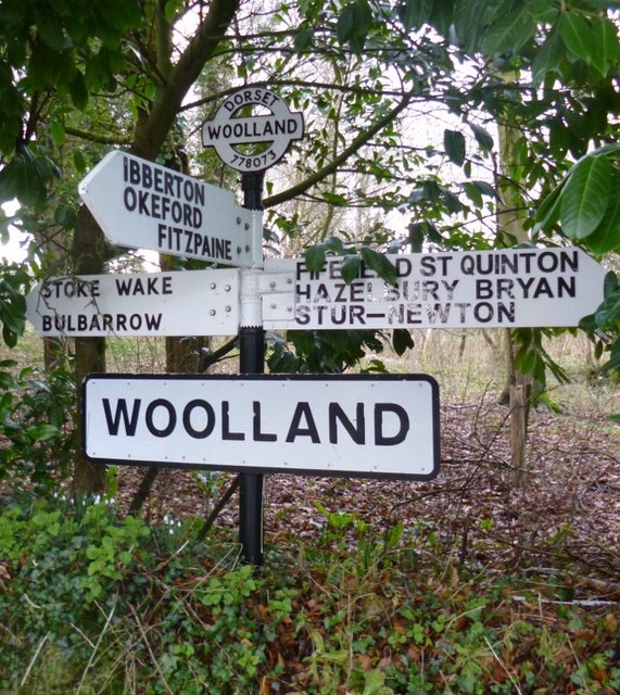
Woolland

Woolland is a village and civil parish in north Dorset, England, situated in the Blackmore Vale under Bulbarrow Hill 7 miles (11 km) west of Blandford...

Bulbarrow Hill

Bulbarrow Hill is a 274 metres (899 ft) hill near Woolland, five miles west of Blandford Forum and ten miles (16 km) north of Dorchester in Dorset, England...

Ibberton

Ibberton is a village and civil parish in the county of Dorset in southern England. It is situated in the Blackmore Vale under the scarp face of the Dorset...

Nearby Amenities

Located within 500m of 50.860593,-2.3330609
Stoke Wake
Is In: Dorset, England, UK
Place: hamlet
Lat/Long: 50.8571207/-2.3360775
Power: pole
Source: bing
Lat/Long: 50.862597/-2.339011
Power: pole
Source: bing
Lat/Long: 50.8621873/-2.3377799
Power: pole
Source: bing
Lat/Long: 50.8615626/-2.3369524
Power: pole
Source: bing
Lat/Long: 50.8609201/-2.3361437
Cables: 3
Power: pole
Source: bing
Lat/Long: 50.8602954/-2.3353095
Power: pole
Source: bing
Lat/Long: 50.8596867/-2.3345223
Poles: bipole
Power: pole
Source: bing
Transformer: distribution
Lat/Long: 50.8577244/-2.3372059
Power: pole
Source: bing
Lat/Long: 50.8579979/-2.3353806
Power: pole
Source: bing
Lat/Long: 50.857909/-2.3359774
Power: pole
Source: bing
Lat/Long: 50.8581257/-2.3345277
Power: pole
Source: bing
Lat/Long: 50.858251/-2.3336881
Power: pole
Source: bing
Lat/Long: 50.8590281/-2.3336586
Power: pole
Source: bing
Lat/Long: 50.8583983/-2.3328406
Power: pole
Source: bing
Lat/Long: 50.8577464/-2.3319849
Power: pole
Source: bing
Lat/Long: 50.8570929/-2.3311374
The data included in this document is from www.openstreetmap.org. The data is made available under ODbL.

Have you been to Kate's Copse?

Leave your review of Kate's Copse below (or comments, questions and feedback).