Fir Plantation
Wood, Forest in Somerset Mendip
England
Fir Plantation
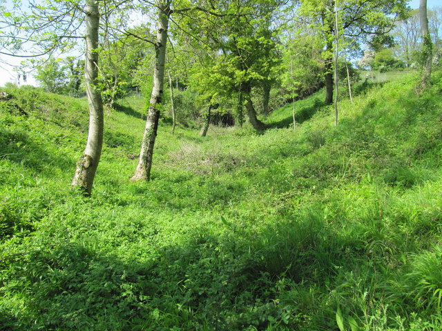
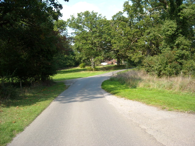
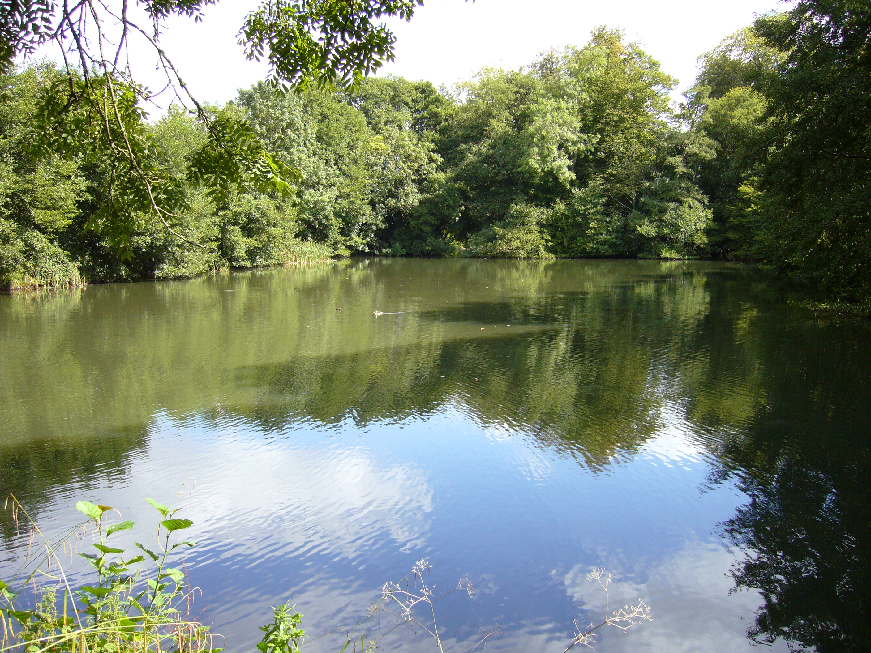
Fir Plantation, located in Somerset, England, is a magnificent woodland area known for its diverse range of fir trees. Covering a vast expanse of land, the plantation is a haven for nature enthusiasts and offers a serene escape from the hustle and bustle of daily life.
The fir trees in the plantation are predominantly of the Abies genus, with species such as Abies alba (European silver fir), Abies concolor (white fir), and Abies fraseri (Fraser fir) being prominent. These evergreen conifers provide a stunning backdrop throughout the year, maintaining their lush green foliage even during the winter months.
The woodland is meticulously managed, with careful attention given to maintaining a healthy ecosystem. The plantation is home to a variety of wildlife, including deer, squirrels, and a wide range of bird species. Visitors often spot these creatures while walking along the well-maintained trails that wind through the woodland.
Fir Plantation also serves as an important resource for the local community. The plantation engages in sustainable forestry practices, with periodic harvesting of trees to ensure the long-term health and vitality of the woodland. The harvested timber is then used for various purposes, including construction, furniture-making, and firewood.
Beyond its ecological and economic significance, Fir Plantation also offers recreational opportunities for visitors. Many people visit the plantation for outdoor activities such as hiking, picnicking, and birdwatching. The tranquil ambiance of the woodland, combined with its natural beauty, makes it a popular destination for individuals seeking a peaceful retreat in the heart of Somerset.
If you have any feedback on the listing, please let us know in the comments section below.
Fir Plantation Images
Images are sourced within 2km of 51.253297/-2.3373253 or Grid Reference ST7650. Thanks to Geograph Open Source API. All images are credited.


Fir Plantation is located at Grid Ref: ST7650 (Lat: 51.253297, Lng: -2.3373253)
Administrative County: Somerset
District: Mendip
Police Authority: Avon and Somerset
What 3 Words
///pizzeria.relegate.sunset. Near Frome, Somerset
Related Wikis

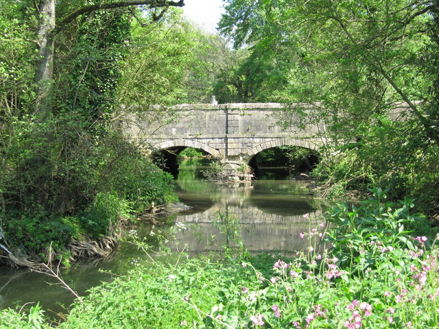
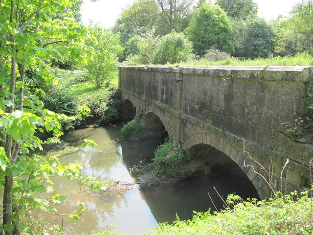
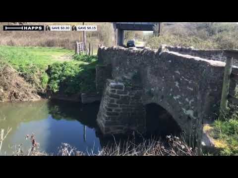
Murtry Aqueduct
Murtry Aqueduct is a three-arched aqueduct that was intended to carry the Dorset and Somerset Canal over the Mells River, near Frome in Somerset, England...

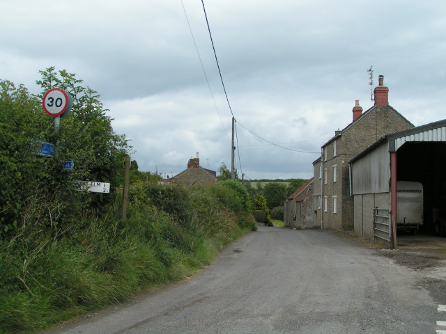
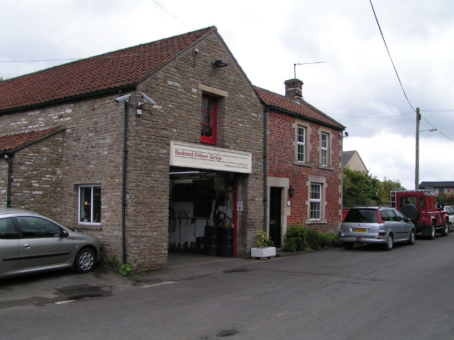
Buckland Dinham
Buckland Dinham is a small village near Frome in Somerset, England. The village has a population of 381. The village's main industry is farming (arable...
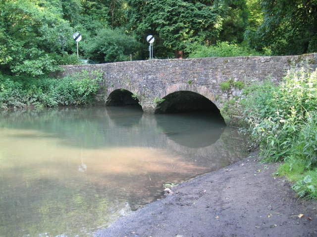
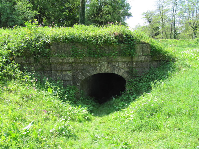
Mells River
The Mells River flows through the eastern Mendip Hills in Somerset, England. It rises at Gurney Slade and flows east joining the River Frome at Frome....
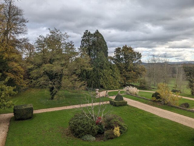
Orchardleigh Lake
Orchardleigh Lake (also spelt Orchardlea) (grid reference ST779508) is an 11.23-hectare artificial lake in the grounds of the Orchardleigh Estate, just...

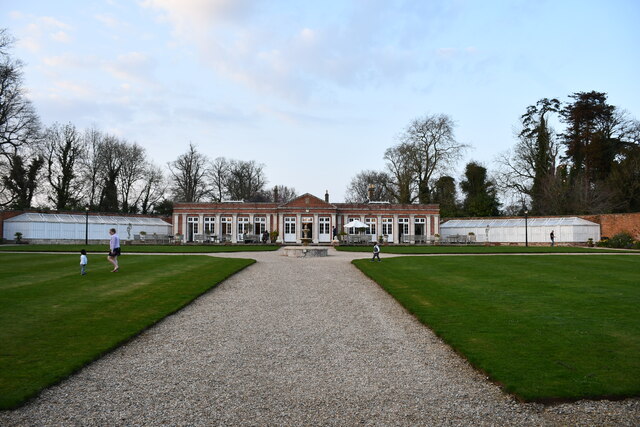
Orchardleigh Estate
Orchardleigh (also spelled Orchardlea) is a country estate in Somerset, approximately two miles north of Frome, and on the southern edge of the village...

Vallis Vale
Vallis Vale (grid reference ST755490) is a 23.9 hectare biological and geological Site of Special Scientific Interest near Great Elm in Somerset, notified...

St Mary's Church, Frome
St Mary's Church is a Church of England parish church in Frome, Somerset, England. It was built in 1862–1864 to the designs of C. E. Giles and is a Grade...
Frome Community College
Frome Community College, styled as Frome College, is a comprehensive school in Frome, Somerset, England for students aged 13 to 18. Approximately 1,200...
Related Videos

SURPRISE TRAVEL DAY | FROME, SOMERSET, UK | AIR BNB
Join us as we head off on a road trip to Frome and check into our air bnb for the night! Twitter: @TheArchersWeAre Instagram: ...
The Den and Orchard Holiday Accommodation and Campsite revuew
Holiday Accommodation and Campsite located in Frome, which is very close to Longleat Safari park ...
A Countryside Walk, Frome
Join me and Jamie House on this countryside walk on the edge of Frome, Somerset. Enjoy the nature and views!

Wandering around Frome in Somerset | Things to do near Bath
Near to Bath is the cute little market town of Frome, we fancied heading out for the day and so caught the train and went for a ...
Nearby Amenities
Located within 500m of 51.253297,-2.3373253Have you been to Fir Plantation?
Leave your review of Fir Plantation below (or comments, questions and feedback).