Broughton Plantation

Wood, Forest in Staffordshire Stafford

England

Broughton Plantation

Free Gospel Chapel The Chapel, built in 1874 according to the stone above the door, appears to be under development for residential use.
Free Gospel Chapel Credit: Peter Fleming

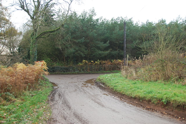
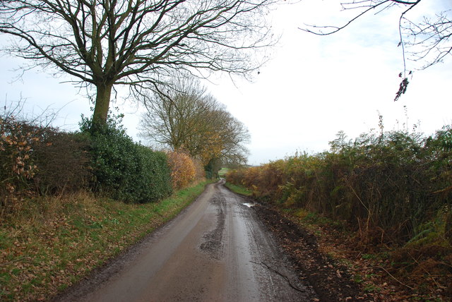
Broughton Plantation, located in Staffordshire, England, is a historic woodland area known for its rich natural beauty and diverse ecosystem. Covering an expansive area, the plantation is primarily characterized by dense woodlands and forests, making it a haven for nature enthusiasts and wildlife alike.

The plantation features a wide variety of tree species, including oak, beech, and birch, contributing to its vibrant and picturesque landscape. The lush undergrowth is teeming with flora such as bluebells, wild garlic, and ferns, creating a visually captivating environment throughout the seasons.

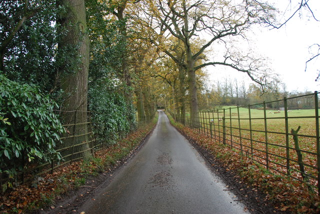
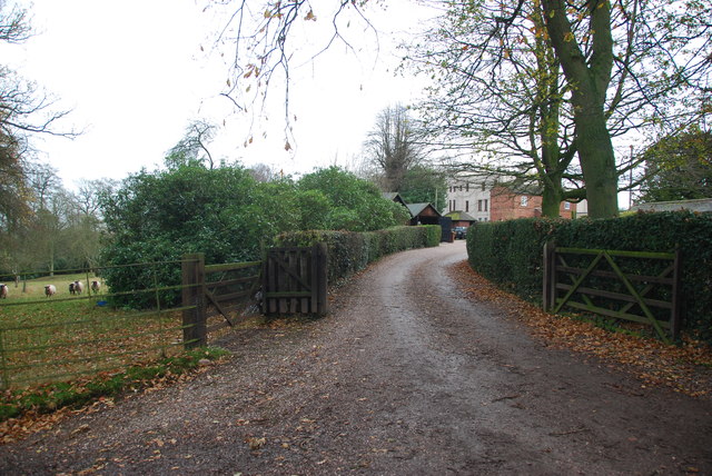
A network of well-maintained trails crisscrosses the plantation, providing ample opportunities for visitors to explore and appreciate the natural surroundings. Hikers and walkers can enjoy the tranquility of the woodlands while observing the resident wildlife, which includes deer, squirrels, and a plethora of bird species.

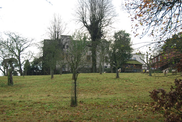
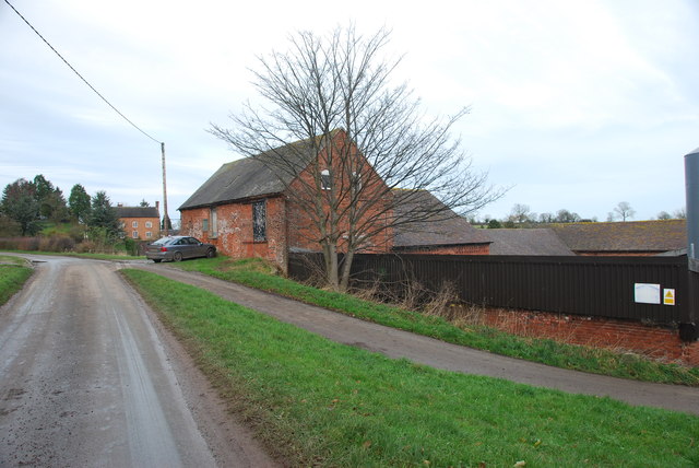
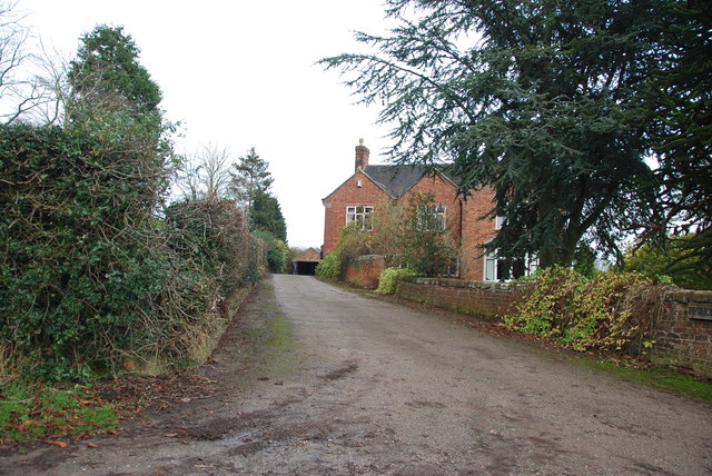
Broughton Plantation holds historical significance, with evidence of human activity dating back centuries. Ruins of old buildings, remnants of charcoal pits, and ancient boundary walls can still be found within the plantation, serving as a testament to its past.

The plantation is not only a haven for wildlife but also serves as an important carbon sink, contributing to the local ecosystem's health and sustainability. Conservation efforts are in place to preserve and protect the plantation, ensuring future generations can continue to enjoy its natural beauty.

Overall, Broughton Plantation in Staffordshire offers a serene and picturesque escape into nature, showcasing the region's diverse flora and fauna while preserving its historical heritage.

If you have any feedback on the listing, please let us know in the comments section below.

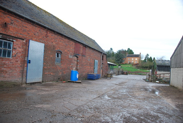
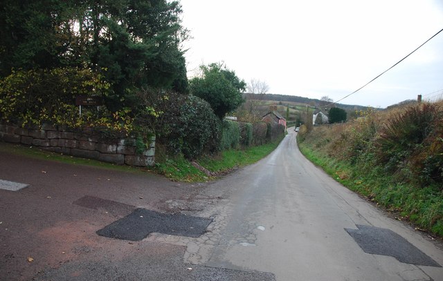
Broughton Plantation Images

Images are sourced within 2km of 52.904665/-2.3500031 or Grid Reference SJ7634. Thanks to Geograph Open Source API. All images are credited.

Free Gospel Chapel The Chapel, built in 1874 according to the stone above the door, appears to be under development for residential use.
Free Gospel Chapel
The Chapel, built in 1874 according to the stone above the door, appears to be under development for residential use.
Road through Charnes estate This road with its metal fences and avenue of trees, gives the impression that there is large estate nearby.   see link  <span class="nowrap"><a title="http://www.britishlistedbuildings.co.uk/en-272232-charnes-hall-eccleshall" rel="nofollow ugc noopener" href="http://www.britishlistedbuildings.co.uk/en-272232-charnes-hall-eccleshall">Link</a><img style="margin-left:2px;" alt="External link" title="External link - shift click to open in new window" src="https://s1.geograph.org.uk/img/external.png" width="10" height="10"/></span>
Road through Charnes estate
This road with its metal fences and avenue of trees, gives the impression that there is large estate nearby. see link LinkExternal link
Charnes Hall, Eccleshall It is a pity that this old hall is partly covered by trees.  see link  <span class="nowrap"><a title="http://www.britishlistedbuildings.co.uk/en-272232-charnes-hall-eccleshall" rel="nofollow ugc noopener" href="http://www.britishlistedbuildings.co.uk/en-272232-charnes-hall-eccleshall">Link</a><img style="margin-left:2px;" alt="External link" title="External link - shift click to open in new window" src="https://s1.geograph.org.uk/img/external.png" width="10" height="10"/></span>
Charnes Hall, Eccleshall
It is a pity that this old hall is partly covered by trees. see link LinkExternal link
The driveway to Charnes Hall
Looking back to a road junction near the Ashley Road Plantation
Narrow roadway leading to Bromley Mill Farm
Roadway past Bromley Mill Farm I can't find any information about this mill, and mill pool, which is out of sight on the left of picture.
Roadway past Bromley Mill Farm
I can't find any information about this mill, and mill pool, which is out of sight on the left of picture.
Entrance drive to Bromley Mill Farm House
The yard at Bromley Mill Farm Bromley Mill farmhouse can be seen beyond the yard, it is in square SJ7835.
The yard at Bromley Mill Farm
Bromley Mill farmhouse can be seen beyond the yard, it is in square SJ7835.
Longfield Cottage at Wetwood This is a charming cottage in the hamlet of Wetwood, the date on the front is 1921.
Longfield Cottage at Wetwood
This is a charming cottage in the hamlet of Wetwood, the date on the front is 1921.
Wetwood Manor, Wetwood
Looking towards Fairoak The drive on the left leads up to a property named The Mount.
Looking towards Fairoak
The drive on the left leads up to a property named The Mount.
Well Cottage, Fairoak The coach going by Well Cottage, gives some idea how of narrow the lanes are around here.
Well Cottage, Fairoak
The coach going by Well Cottage, gives some idea how of narrow the lanes are around here.
Rookery Cottages near Wetwood This row of cottages are very eyecatching as you drive by. The chimneys are worth looking at, there has been a lot of pride taken when building them.
Rookery Cottages near Wetwood
This row of cottages are very eyecatching as you drive by. The chimneys are worth looking at, there has been a lot of pride taken when building them.
Junction on Eccleshall Road, Wetwood
Eccleshall Road, Hookgate
Garden at the entrance to Broughton Hall This is also the home for the Caudwell lyme disease charity. <span class="nowrap"><a title="https://caudwelllyme.com/" rel="nofollow ugc noopener" href="https://caudwelllyme.com/">Link</a><img style="margin-left:2px;" alt="External link" title="External link - shift click to open in new window" src="https://s1.geograph.org.uk/img/external.png" width="10" height="10"/></span>
Garden at the entrance to Broughton Hall
This is also the home for the Caudwell lyme disease charity. LinkExternal link
Eccleshall Road, Wetwood
Show me another place!

Broughton Plantation is located at Grid Ref: SJ7634 (Lat: 52.904665, Lng: -2.3500031)

Administrative County: Staffordshire

District: Stafford

Police Authority: Staffordshire

What 3 Words

///buzzer.butterfly.stopped. Near Standon, Staffordshire

Related Wikis

Ashley, Staffordshire

Ashley is a village and former civil parish, now in the parish of Loggerheads, in the Newcastle-under-Lyme district, in the county of Staffordshire, England...

Armsdale

Armsdale is a village in Staffordshire, England. Population details for the 2011 census can be found under Eccleshall.

Loggerheads, Staffordshire

Loggerheads is a village and civil parish in north-west Staffordshire, England, on the A53 between Market Drayton and Newcastle-under-Lyme. == Name... ==

Croxton, Staffordshire

Croxton is a village on the B5026 between Eccleshall and Loggerheads. Population details for the 2011 census can be found under Eccleshall. It is notable...

Outlands, Staffordshire

Outlands is a hamlet in the English county of Staffordshire. It lies 1 km eas of Bishop's Offley. == External links == Map sources for Outlands, Staffordshire

Maer, Staffordshire

Maer is a rural village and civil parish in the Borough of Newcastle-under-Lyme, Staffordshire, England, to the west of the pottery manufacturing town...

Blore Heath Rural District

Blore Heath was a rural district in Staffordshire, England from 1894 to 1932. It was created under the Local Government Act 1894 from that part of the...

Bowers, Staffordshire

Bowers is a village in Staffordshire, England. For population details as taken in the 2011 census see Standon.

Related Videos

The Celtic Mission to Anglo-Saxon England

An illustrated overview of the Celtic church's Lindisfarne-based mission to Anglo-Saxon England; the coming of Columba to Iona, ...

Nearby Amenities

Located within 500m of 52.904665,-2.3500031
Bus Stop
Broughton Hall
Naptan AtcoCode: 3800C701300
Naptan Bearing: SE
Naptan CommonName: Broughton Hall
Naptan Indicator: Adj
Naptan Landmark: Broughton Hall
Naptan Street: Eccleshall Rd
Naptan Verified: no
Source: naptan_import
Lat/Long: 52.9013704/-2.3501767
Bus Stop
Broughton Hall
Naptan AtcoCode: 3800C701301
Naptan Bearing: NW
Naptan BusStopType: CUS
Naptan CommonName: Broughton Hall
Naptan Indicator: Opp
Naptan Landmark: Broughton Hall
Naptan Street: Eccleshall Rd
Naptan Verified: no
Source: naptan_import
Lat/Long: 52.9015483/-2.3508472
Barrier: stile
Lat/Long: 52.907741/-2.3523959
Barrier: stile
Lat/Long: 52.9002796/-2.3484679
Broughton
Place: hamlet
Lat/Long: 52.9011487/-2.3475763
The data included in this document is from www.openstreetmap.org. The data is made available under ODbL.

Have you been to Broughton Plantation?

Leave your review of Broughton Plantation below (or comments, questions and feedback).