Beech Plantation
Wood, Forest in Somerset Mendip
England
Beech Plantation
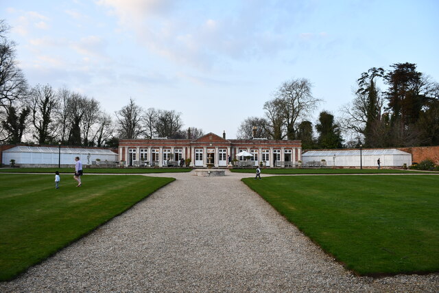
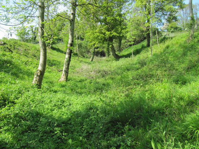
Beech Plantation, located in Somerset, is a magnificent wood forest renowned for its expansive beech trees and lush vegetation. Covering an area of approximately 500 acres, this plantation is a haven for nature enthusiasts and is widely recognized for its scenic beauty and ecological significance.
The dominant feature of Beech Plantation is undoubtedly its impressive beech trees, which can reach heights of up to 100 feet. These majestic trees create a dense canopy, providing shade and shelter to a diverse range of plants and wildlife. The forest floor is covered with a thick layer of leaf litter, contributing to the rich biodiversity found within the plantation.
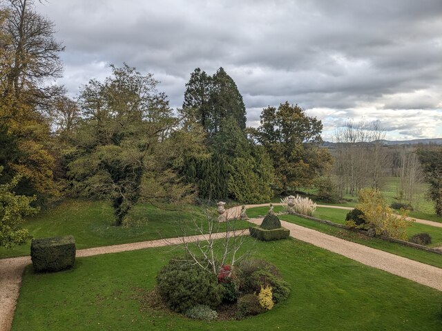
The flora in Beech Plantation is abundant and varied, with a wide array of wildflowers, ferns, and mosses thriving in the moist and fertile soil. The forest is home to numerous species of birds, including owls, woodpeckers, and warblers, making it a popular destination for birdwatchers. In addition, the forest provides habitat for mammals such as deer, squirrels, and foxes, adding to the ecological importance of the area.
Beech Plantation offers an extensive network of walking trails and paths, allowing visitors to explore the enchanting woodland at their own pace. The plantation is well-maintained, with clear signage and markers to guide visitors through the forest. It also provides picnic areas and benches for those who wish to relax and soak in the peaceful ambiance.
Overall, Beech Plantation is a captivating destination for nature lovers, offering a serene and immersive experience in the heart of Somerset's natural beauty. Its impressive beech trees, diverse flora, and abundant wildlife make it an ideal place for both leisurely walks and educational exploration.
If you have any feedback on the listing, please let us know in the comments section below.
Beech Plantation Images
Images are sourced within 2km of 51.251818/-2.3416417 or Grid Reference ST7650. Thanks to Geograph Open Source API. All images are credited.

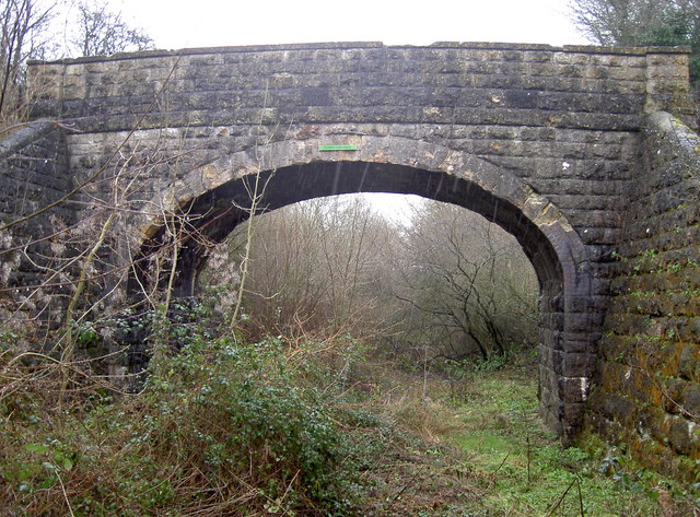
![Gate to the field A simple gate opposite Flowers Farm Bridge - see [[[3329125]] - that allows non-motorised passage to the other field on the other side of the railway. See also <a href="https://www.geograph.org.uk/photo/3330254">ST7450 : For all travellers</a> for the cattle grid here.](https://s3.geograph.org.uk/geophotos/03/33/02/3330247_6c5c9f5a.jpg)
![For all travellers Despite a simple cyclepath running alongside the old railway line, these gates are clearly designed to control a variety of wheeled, two-legged and four-legged users through. The adjoining bridge crossing the line is not one for motorised traffic as it leads to a field. See <a href="https://www.geograph.org.uk/photo/3330247">ST7450 : Gate to the field</a> for the gate and [[[3329125]] for the little bridge.](https://s2.geograph.org.uk/geophotos/03/33/02/3330254_7a6542ad.jpg)

Beech Plantation is located at Grid Ref: ST7650 (Lat: 51.251818, Lng: -2.3416417)
Administrative County: Somerset
District: Mendip
Police Authority: Avon and Somerset
What 3 Words
///calm.estuaries.renew. Near Frome, Somerset
Related Wikis

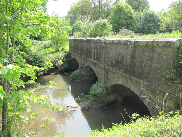
Murtry Aqueduct
Murtry Aqueduct is a three-arched aqueduct that was intended to carry the Dorset and Somerset Canal over the Mells River, near Frome in Somerset, England...

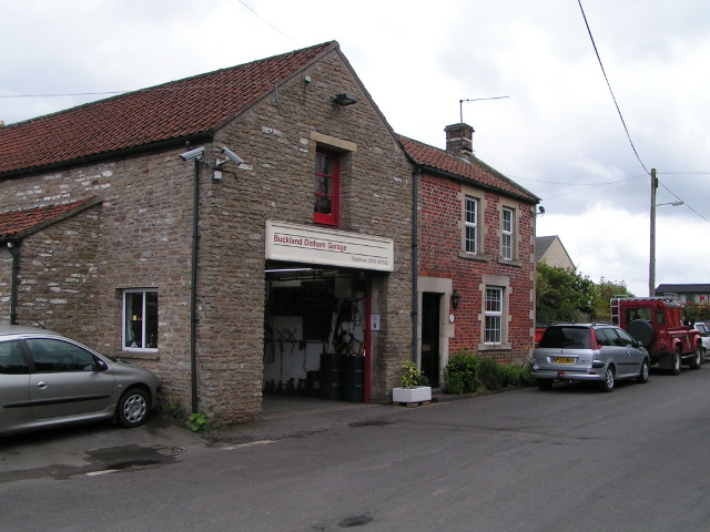
Buckland Dinham
Buckland Dinham is a small village near Frome in Somerset, England. The village has a population of 381. The village's main industry is farming (arable...

Vallis Vale
Vallis Vale (grid reference ST755490) is a 23.9 hectare biological and geological Site of Special Scientific Interest near Great Elm in Somerset, notified...
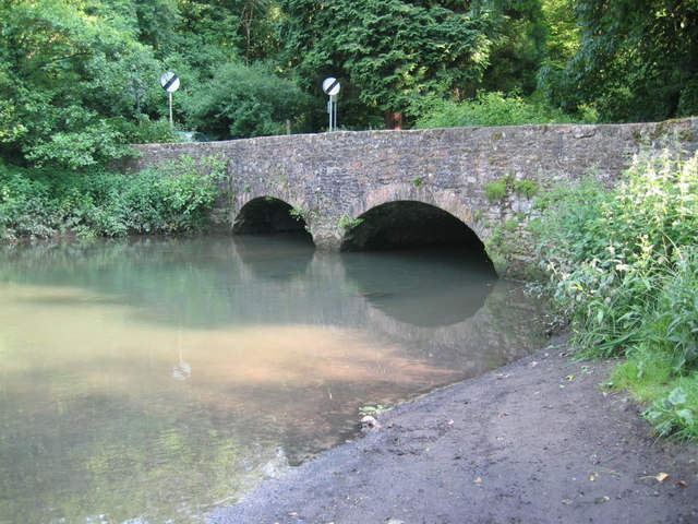
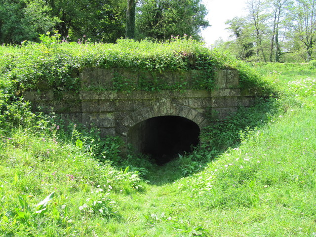
Mells River
The Mells River flows through the eastern Mendip Hills in Somerset, England. It rises at Gurney Slade and flows east joining the River Frome at Frome....
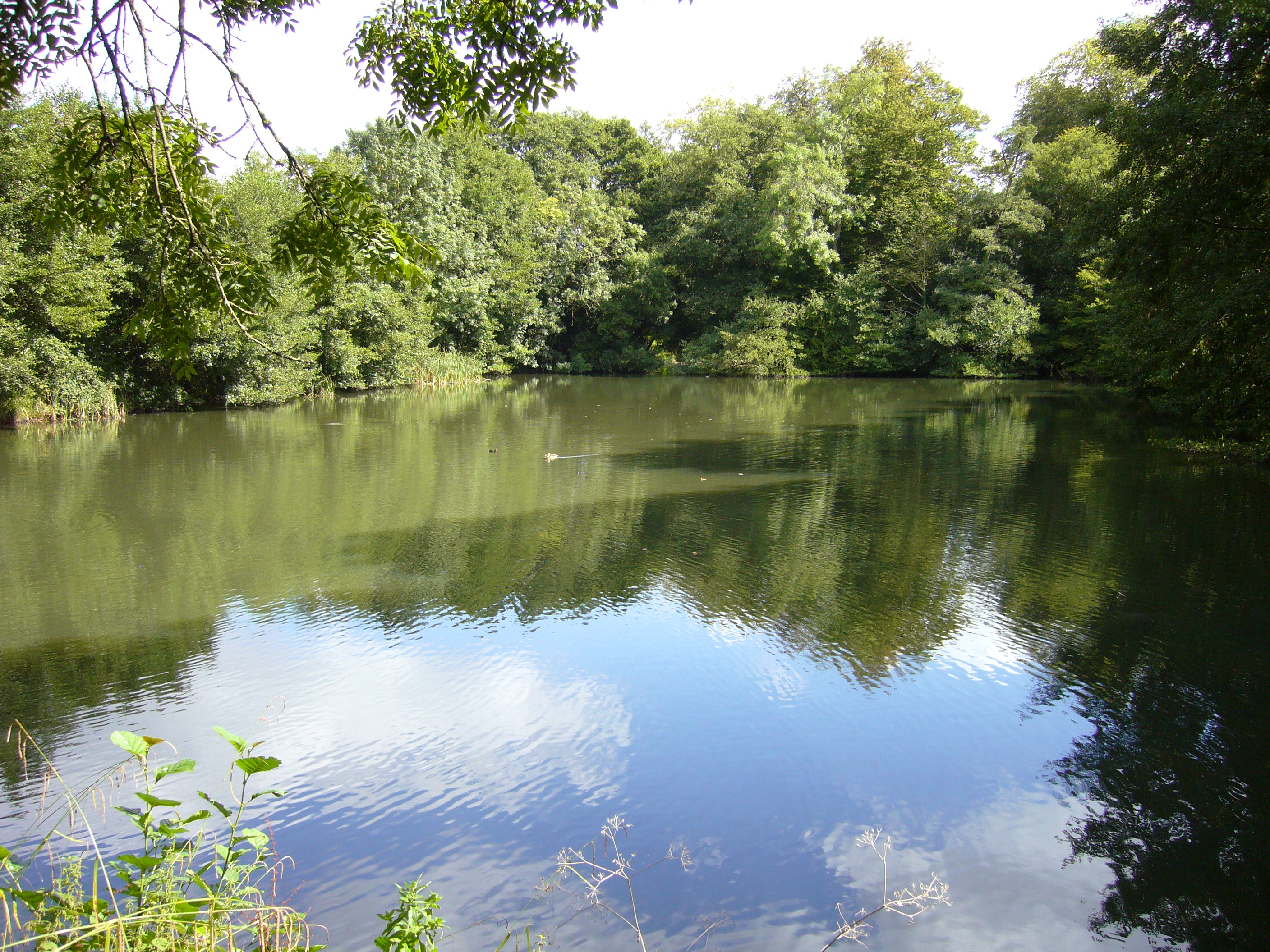
Orchardleigh Lake
Orchardleigh Lake (also spelt Orchardlea) (grid reference ST779508) is an 11.23-hectare artificial lake in the grounds of the Orchardleigh Estate, just...

Orchardleigh Estate
Orchardleigh (also spelled Orchardlea) is a country estate in Somerset, approximately two miles north of Frome, and on the southern edge of the village...

Great Elm
Great Elm is a village and civil parish between Mells and Frome in the Mendip district of Somerset, England. The parish includes the hamlet of Hapsford...

St Mary's Church, Frome
St Mary's Church is a Church of England parish church in Frome, Somerset, England. It was built in 1862–1864 to the designs of C. E. Giles and is a Grade...
Have you been to Beech Plantation?
Leave your review of Beech Plantation below (or comments, questions and feedback).