Crackley
Settlement in Warwickshire Warwick
England
Crackley
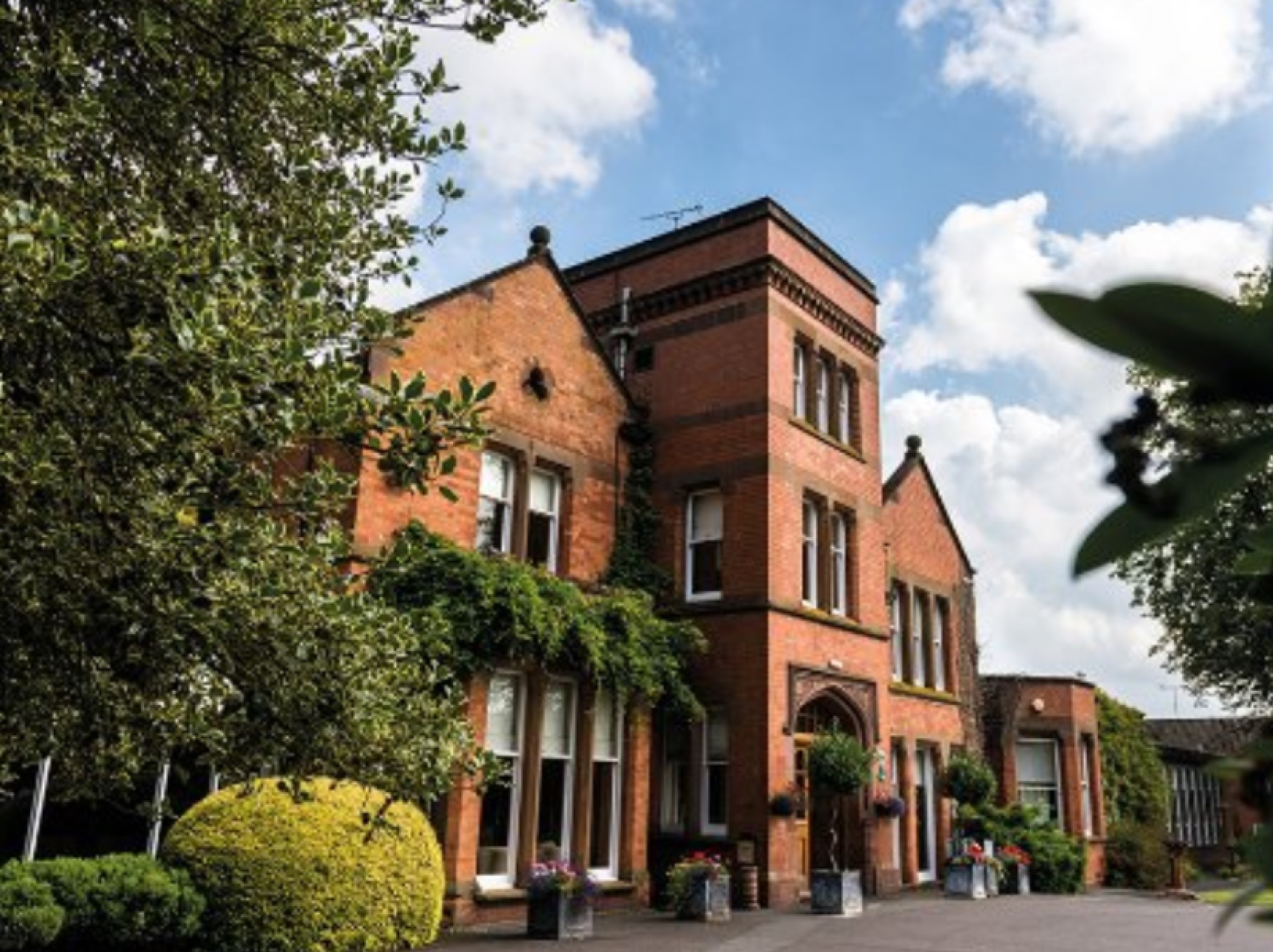
Crackley is a small village located in the county of Warwickshire, England. Situated just 3 miles south of the historic town of Kenilworth, Crackley is surrounded by picturesque countryside and offers a tranquil and idyllic setting.
The village itself boasts a population of around 500 residents, creating a close-knit and friendly community atmosphere. The architecture in Crackley is predominantly traditional, with charming cottages and houses lining the quiet streets. The village is known for its well-maintained gardens and green spaces, providing a serene environment for residents and visitors alike.
Crackley is home to St. Margaret's Church, a beautiful medieval building that dates back to the 12th century. The church is a prominent landmark in the area and holds regular services, as well as hosting community events throughout the year.
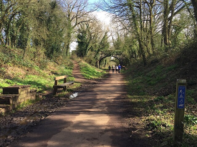
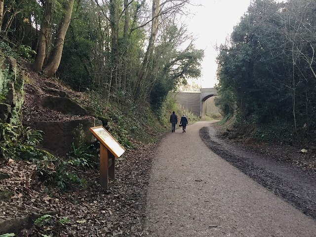
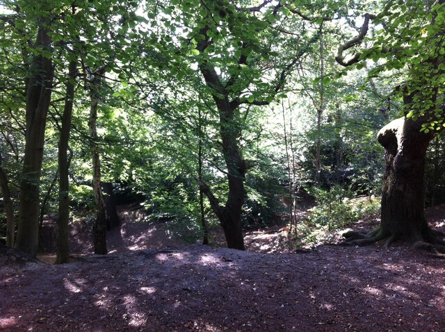
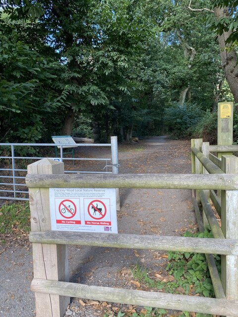
For those seeking outdoor activities, Crackley is nestled near several nature reserves and country parks. Crackley Wood, located on the outskirts of the village, offers walking trails and a variety of wildlife to observe. Additionally, the nearby Kenilworth Common provides a vast expanse of open green space, perfect for picnics and leisurely walks.
Despite its small size, Crackley benefits from excellent transport links. The M40 motorway is easily accessible, providing convenient connections to nearby cities such as Birmingham and Coventry. The village also has regular bus services, ensuring easy access to neighboring towns and villages.
Overall, Crackley offers a peaceful and welcoming environment, ideal for those seeking a rural lifestyle with convenient access to nearby amenities.
If you have any feedback on the listing, please let us know in the comments section below.
Crackley Images
Images are sourced within 2km of 52.360334/-1.562072 or Grid Reference SP2973. Thanks to Geograph Open Source API. All images are credited.


Crackley is located at Grid Ref: SP2973 (Lat: 52.360334, Lng: -1.562072)
Administrative County: Warwickshire
District: Warwick
Police Authority: Warwickshire
What 3 Words
///anyway.urgent.wage. Near Kenilworth, Warwickshire
Nearby Locations
Related Wikis

The Water Tower, Kenilworth
The Water Tower is a building in Kenilworth, Warwickshire, England. It is understood that the building was constructed as a windmill in the mid-18th century...

Kenilworth School and Sixth Form
Kenilworth School and Sixth Form, also known as Kenilworth School and Sports College, is a coeducational secondary school and sixth form based in Glasshouse...
Warwick Medical School
Warwick Medical School is the medical school of the University of Warwick and is located in Coventry, United Kingdom. It was opened in 2000 in partnership...
Priory Theatre
The Priory Theatre is an amateur theatre building and company located in Kenilworth, Warwickshire, England. There are 120 seats in a circle and stall layout...

St Nicholas Church, Kenilworth
St Nicholas Church is a Church of England parish church in Kenilworth, Warwickshire, England. The church is built of local red sandstones. The main phases...
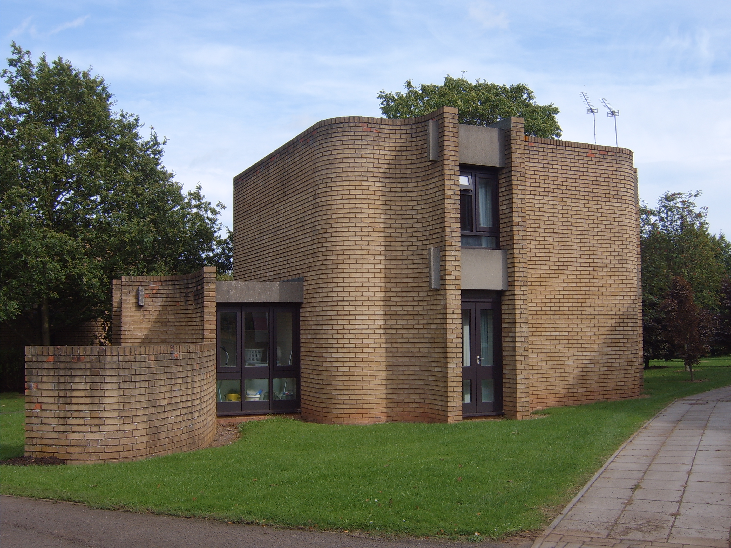
Houses for Visiting Mathematicians
The Houses for Visiting Mathematicians (also known as the Mathematics Research Centre houses) are a set of five houses and two flats, built for academics...

St Mary's Abbey, Kenilworth
The remains of St Mary's Abbey, of Kenilworth, Warwickshire, England are situated in the grounds of St Nicholas' Church and in an adjacent area of Abbey...
Woodside Hotel, Kenilworth
The Woodside Hotel is a building of historical significance in Kenilworth, Warwickshire, England. It was the residence of several notable people from about...
Nearby Amenities
Located within 500m of 52.360334,-1.562072Have you been to Crackley?
Leave your review of Crackley below (or comments, questions and feedback).