Rough Hill Wood

Wood, Forest in Herefordshire

England

Rough Hill Wood

Birchwood Lane This shows the 40 metre stretch of the lane used by the Geopark Way, which has just joined from the right, and turns right into a field at the track junction ahead, although it rejoins the lane for a while about a kilometre ahead.
Birchwood Lane Credit: Derek Harper

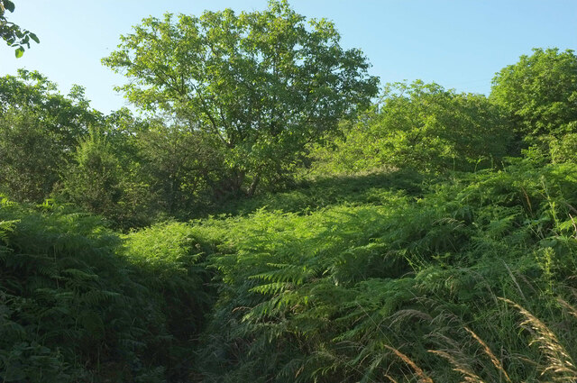
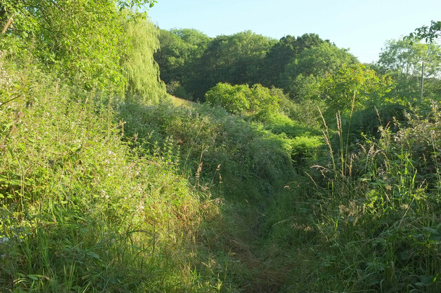
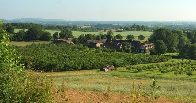
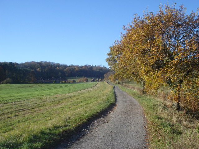
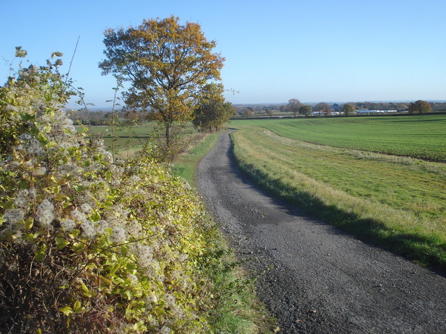
Rough Hill Wood is a picturesque woodland located in Herefordshire, England. Covering an area of approximately 50 hectares, it is one of the most stunning and diverse woodlands in the region. The wood is situated on the gently sloping slopes of Rough Hill, which provides a fantastic vantage point to admire the surrounding countryside.

The woodland is predominantly made up of native broadleaf trees, including oak, ash, beech, and birch. These trees create a dense and vibrant canopy, allowing only dappled sunlight to filter through to the forest floor. This creates a unique and magical ambiance, particularly during the spring when bluebells carpet the ground with their vibrant hues.

Rough Hill Wood is home to a rich array of wildlife. The woodland provides an ideal habitat for various bird species, including woodpeckers, owls, and buzzards, making it a haven for birdwatchers. Additionally, the wood supports a diverse range of mammals, such as deer, foxes, badgers, and bats.

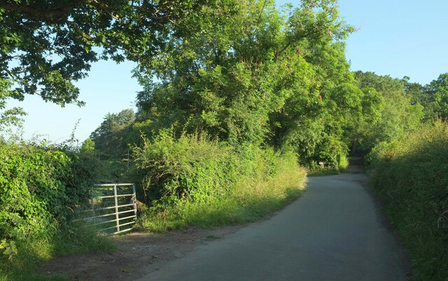
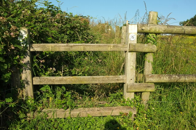
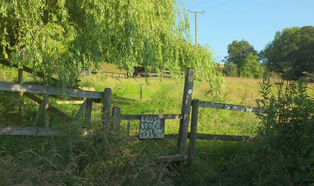
The wood is crisscrossed by a network of well-maintained footpaths, allowing visitors to explore and immerse themselves in the natural beauty of the area. There is also a small picnic area near the entrance, providing a perfect spot to rest and enjoy a packed lunch.

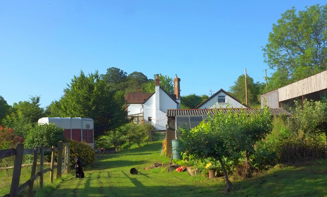
Rough Hill Wood offers a tranquil escape from the hustle and bustle of daily life, providing a haven for nature lovers, hikers, and families alike. Its breathtaking scenery, diverse wildlife, and serene atmosphere make it a must-visit destination for anyone seeking an authentic and peaceful woodland experience in Herefordshire.

If you have any feedback on the listing, please let us know in the comments section below.

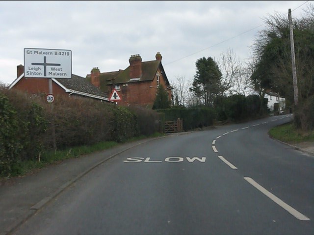
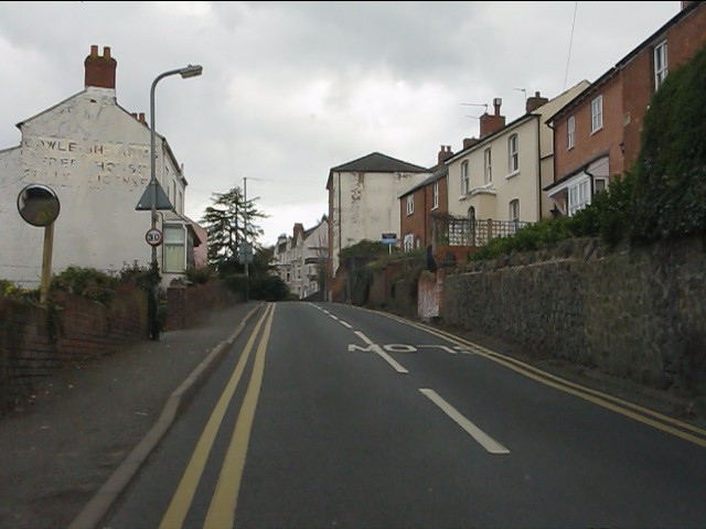
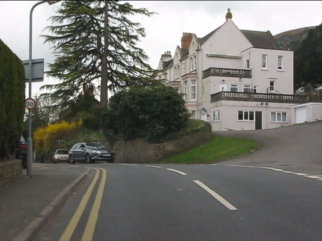
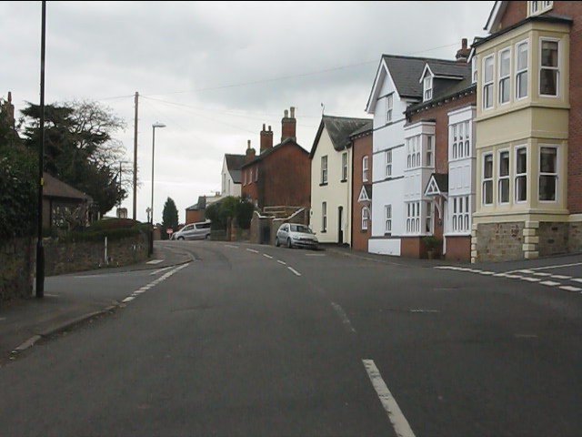
Rough Hill Wood Images

Images are sourced within 2km of 52.131527/-2.3537838 or Grid Reference SO7548. Thanks to Geograph Open Source API. All images are credited.

Birchwood Lane This shows the 40 metre stretch of the lane used by the Geopark Way, which has just joined from the right, and turns right into a field at the track junction ahead, although it rejoins the lane for a while about a kilometre ahead.
Birchwood Lane
This shows the 40 metre stretch of the lane used by the Geopark Way, which has just joined from the right, and turns right into a field at the track junction ahead, although it rejoins the lane for a while about a kilometre ahead.
Stile on Geopark Way On Cradley footpath CD62, with the Geopark Way logo visible on the waymark.
Stile on Geopark Way
On Cradley footpath CD62, with the Geopark Way logo visible on the waymark.
Old Norrest The listed cottage <span class="nowrap"><a title="https://historicengland.org.uk/listing/the-list/list-entry/1177082" rel="nofollow ugc noopener" href="https://historicengland.org.uk/listing/the-list/list-entry/1177082">Link</a><img style="margin-left:2px;" alt="External link" title="External link - shift click to open in new window" src="https://s1.geograph.org.uk/img/external.png" width="10" height="10"/></span> is also seen in <a href="https://www.geograph.org.uk/photo/6899038">SO7550 : Old Norrest</a>.
Old Norrest
The listed cottage LinkExternal link is also seen in SO7550 : Old Norrest.
Geopark Way at Old Norrest Looking right from <a href="https://www.geograph.org.uk/photo/6899038">SO7550 : Old Norrest</a> past a willow as Cradley footpath CD62 - or 61, not quite sure which here - makes its way around the farm.
Geopark Way at Old Norrest
Looking right from SO7550 : Old Norrest past a willow as Cradley footpath CD62 - or 61, not quite sure which here - makes its way around the farm.
Geopark Way at Old Norrest Looking right from <a href="https://www.geograph.org.uk/photo/7268791">SO7550 : Geopark Way at Old Norrest</a>, as the Way, following Cradley footpath CD61, seems to vanish in a sea of bracken. Ahead is a walnut grove.
Geopark Way at Old Norrest
Looking right from SO7550 : Geopark Way at Old Norrest, as the Way, following Cradley footpath CD61, seems to vanish in a sea of bracken. Ahead is a walnut grove.
Geopark Way approaching Old Norrest Early morning on Cradley footpath CD61.
Geopark Way approaching Old Norrest
Early morning on Cradley footpath CD61.
Norrest Court Looking left from <a href="https://www.geograph.org.uk/photo/7269655">SO7549 : Orchard, Norrest Court</a>. The Norrest Court Development contains nine properties.
Norrest Court
Looking left from SO7549 : Orchard, Norrest Court. The Norrest Court Development contains nine properties.
Old Norrest Seen from the Geopark Way on CRADLEY footpath CD61. The cottage is listed <span class="nowrap"><a title="https://historicengland.org.uk/listing/the-list/list-entry/1177082" rel="nofollow ugc noopener" href="https://historicengland.org.uk/listing/the-list/list-entry/1177082">Link</a><img style="margin-left:2px;" alt="External link" title="External link - shift click to open in new window" src="https://s1.geograph.org.uk/img/external.png" width="10" height="10"/></span> .
Old Norrest
Seen from the Geopark Way on CRADLEY footpath CD61. The cottage is listed LinkExternal link .
Track to The Norrest Looking south-west towards the row of houses at The Norrest with Norrest Wood behind.
Track to The Norrest
Looking south-west towards the row of houses at The Norrest with Norrest Wood behind.
Track from The Norrest Looking eastwards with the Leigh Sinton Garden Centre in the distance on the right.
Track from The Norrest
Looking eastwards with the Leigh Sinton Garden Centre in the distance on the right.
A4103 at Storridge
A4103 at Storridge
Cowleigh Road near Rough Hill Wood
North Malvern - Cowleigh Road approaching Cowleigh Bank crossroads
North Malvern - Cowleigh Road Faded lettering on the building on the left reveals it to once have been the Cowleigh Arms free house and off licence.  It is now a private dwelling.
North Malvern - Cowleigh Road
Faded lettering on the building on the left reveals it to once have been the Cowleigh Arms free house and off licence. It is now a private dwelling.
North Malvern - building at the junction of Cowleigh Road and Old Hollow
North Malvern - Cowleigh Road at Belvoir Bank
North Malvern - eastern end of Cowleigh Road
A deeply furrowed field Beside the A4103 near The Norrest.
A deeply furrowed field
Beside the A4103 near The Norrest.
Show me another place!

Rough Hill Wood is located at Grid Ref: SO7548 (Lat: 52.131527, Lng: -2.3537838)

Unitary Authority: County of Herefordshire

Police Authority: West Mercia

What 3 Words

///resting.twit.discouraged. Near Great Malvern, Worcestershire

Related Wikis

Church of St Peter, Cowleigh

The Church of St Peter, Cowleigh, is a Grade II listed Anglican church in the parish of Malvern Link and Cowleigh. It was built in 1865, and was designed...

Radar Research and Development Establishment

The Radar Research and Development Establishment, RRDE for short, was a civilian research organization run by the United Kingdom's Ministry of Supply that...

End Hill

End Hill is the northernmost top of the Malvern Hills that runs approximately 13 kilometres (8 mi) north-south along the Herefordshire-Worcestershire border...

Church of the Ascension, Malvern Link

The first completed work by the renowned architect Sir Walter Tapper, this is a Grade II listed church in the parish of Malvern Link and Cowleigh. The...

North Malvern

North Malvern is a suburb of Malvern, Worcestershire, England. It nestles on the northern slopes of the Malvern Hills. It is a contiguous urban extension...

Dyson Perrins Church of England Academy

Dyson Perrins CofE Academy is a co-educational secondary school in Malvern, Worcestershire, England. It is named after its benefactor Charles William Dyson...

West Malvern

West Malvern is a village and a civil parish on the west side of the north part of the Malvern Hills, on the western edge of Worcestershire, England. It...

Clarendon School for Girls

Clarendon School for Girls was a girls' independent boarding school, which began in 1898 in Malvern, Worcestershire, England. It moved three times: first...

Nearby Amenities

Located within 500m of 52.131527,-2.3537838
Barrier: stile
Lat/Long: 52.1289926/-2.3519562
Barrier: stile
Lat/Long: 52.1288971/-2.3520421
Fixme: incomplete
Lat/Long: 52.1322322/-2.3494208
Ford: yes
Lat/Long: 52.1285501/-2.3548035
Power: pole
Lat/Long: 52.1283571/-2.3588446
Cowleigh Gate
Power: pole
Transformer: distribution
Voltage Primary: 11000
Lat/Long: 52.1284596/-2.3588741
Power: pole
Lat/Long: 52.1285724/-2.3488527
Cowleigh Bridge
Power: pole
Transformer: distribution
Voltage Primary: 11000
Lat/Long: 52.1287762/-2.3507604
Location Transition: yes
Power: pole
Lat/Long: 52.128714/-2.3502327
Location Transition: yes
Power: pole
Lat/Long: 52.1291298/-2.3590846
Power: pole
Lat/Long: 52.1297044/-2.3592389
Power: pole
Lat/Long: 52.1303894/-2.3594776
Power: pole
Lat/Long: 52.1312637/-2.3609488
Power: pole
Lat/Long: 52.1310217/-2.359672
Power: pole
Lat/Long: 52.1317169/-2.359896
Power: pole
Lat/Long: 52.1324944/-2.3597599
Power: pole
Lat/Long: 52.1333341/-2.3596291
Power: pole
Lat/Long: 52.1336189/-2.3595607
Hill Farm Storridge
Power: pole
Transformer: distribution
Voltage Primary: 11000
Lat/Long: 52.1340091/-2.3581874
Location Transition: yes
Power: pole
Lat/Long: 52.1340231/-2.3594863
The data included in this document is from www.openstreetmap.org. The data is made available under ODbL.

Have you been to Rough Hill Wood?

Leave your review of Rough Hill Wood below (or comments, questions and feedback).