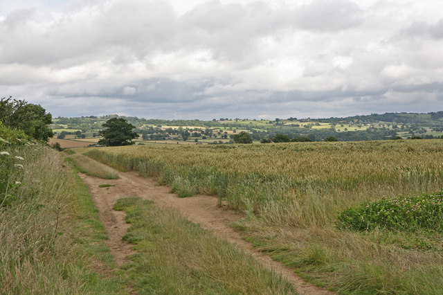
The Grove Coppice
Wood, Forest in Staffordshire Wyre Forest
England
The Grove Coppice
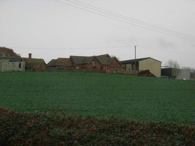
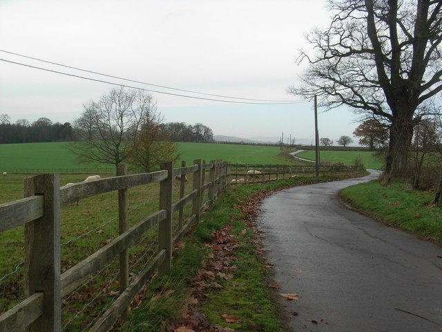
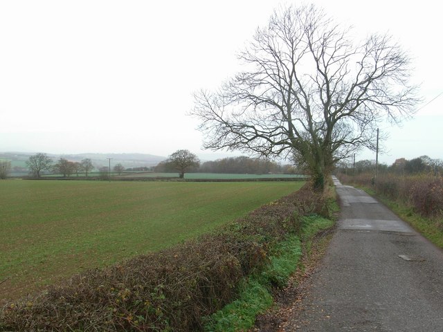
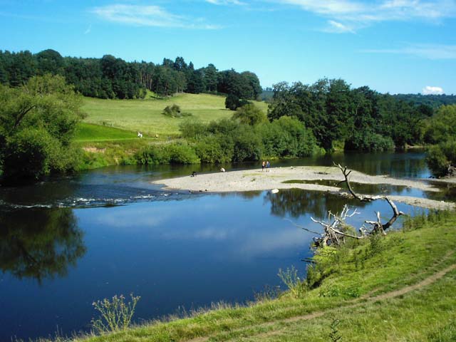
The Grove Coppice is a stunning woodland area located in Staffordshire, England. Covering an expansive area of approximately 100 acres, this forest is a popular destination for nature enthusiasts and outdoor lovers alike. The coppice is situated in close proximity to the town of Uttoxeter, making it easily accessible for visitors.
The Grove Coppice boasts a diverse range of flora and fauna, making it an important ecological site. The woodland is predominantly composed of native tree species such as oak, birch, and beech, creating a picturesque and serene environment. The forest floor is adorned with a vibrant carpet of bluebells during the spring season, providing a breathtaking sight for visitors.
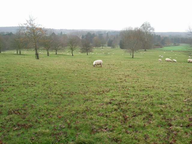
The forest also serves as a habitat for a variety of wildlife species, including deer, foxes, and numerous bird species. The Grove Coppice is a designated nature reserve, ensuring the protection and preservation of its natural inhabitants.
Visitors to The Grove Coppice can enjoy a multitude of outdoor activities. The forest offers several walking trails, allowing visitors to explore the woodland at their own pace. These trails range in difficulty and length, catering to both casual walkers and more experienced hikers. Additionally, the coppice provides ample space for picnicking and birdwatching, creating a tranquil setting for relaxation and observation.
Overall, The Grove Coppice in Staffordshire is a remarkable woodland area, offering visitors a chance to immerse themselves in nature and experience the beauty of the English countryside.
If you have any feedback on the listing, please let us know in the comments section below.
The Grove Coppice Images
Images are sourced within 2km of 52.424454/-2.358067 or Grid Reference SO7580. Thanks to Geograph Open Source API. All images are credited.


The Grove Coppice is located at Grid Ref: SO7580 (Lat: 52.424454, Lng: -2.358067)
Administrative County: Worcestershire
District: Wyre Forest
Police Authority: West Mercia
What 3 Words
///mergers.cemented.narrowest. Near Highley, Shropshire
Nearby Locations
Related Wikis

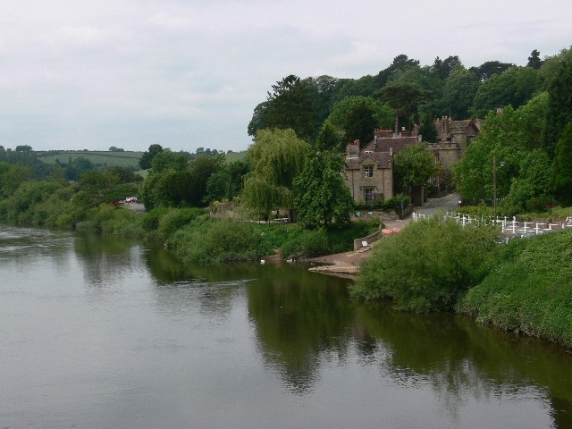
Arley House and Gardens
Arley House and Gardens are situated at Upper Arley, about 4 miles (6.4 km) north-west of Bewdley, in Worcestershire, England. The gardens, arboretum and...

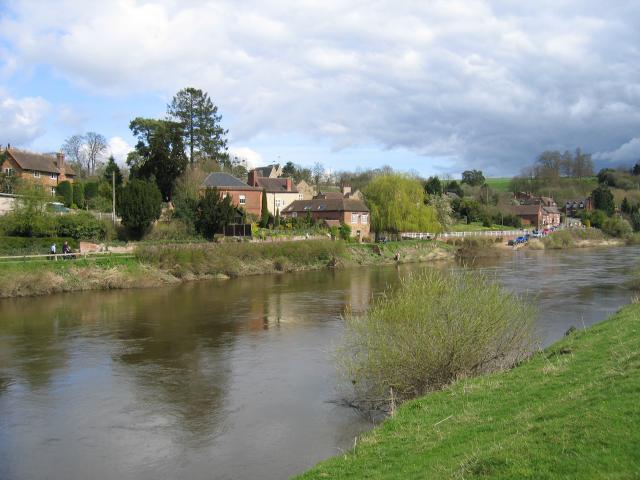
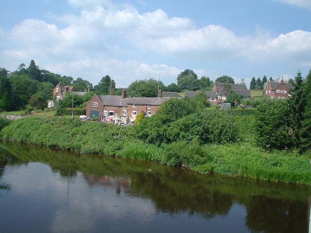
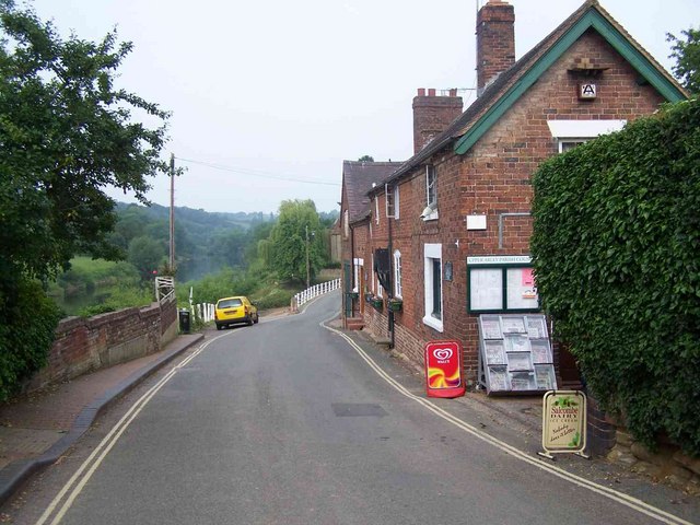
Upper Arley
Upper Arley (grid reference SO765805) is a village and civil parish near Kidderminster in the Wyre Forest District of Worcestershire, England. Historically...

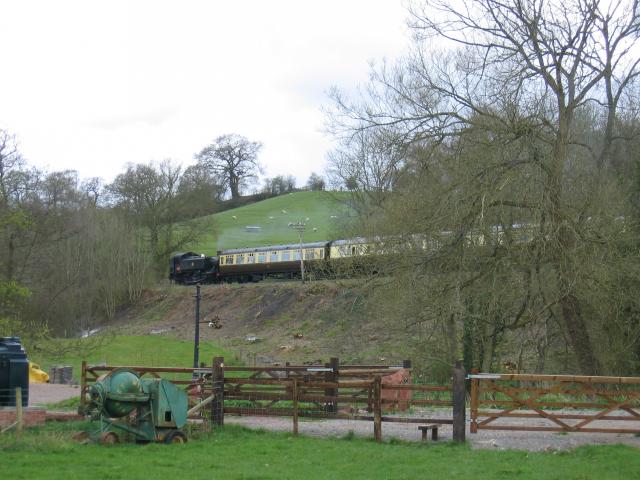
Arley railway station
Arley railway station is a station on the Severn Valley Railway heritage line in Worcestershire, situated just over the River Severn from the village of...

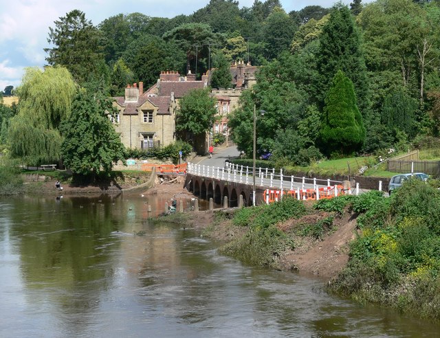
Victoria Bridge, Worcestershire
The Victoria Bridge crosses the River Severn between Arley and Bewdley in Worcestershire, England. At the time of its construction, the 200-foot railway...

Shatterford Hill
Shatterford Hill is an English geographical feature that extends from Bewdley in north Worcestershire to Birdsgreen near Alveley, just over the border...

Coppicegate
Coppicegate is a small settlement in Shropshire, England. It is beside the Wyre Forest and is 10 kilometres (6 mi) northwest of Kidderminster. == External... ==

Pound Green
Pound Green is a hamlet in Upper Arley, Worcestershire, England. It has a number of tourist landmarks such as Ye Olde New Inn and a village hall that also...
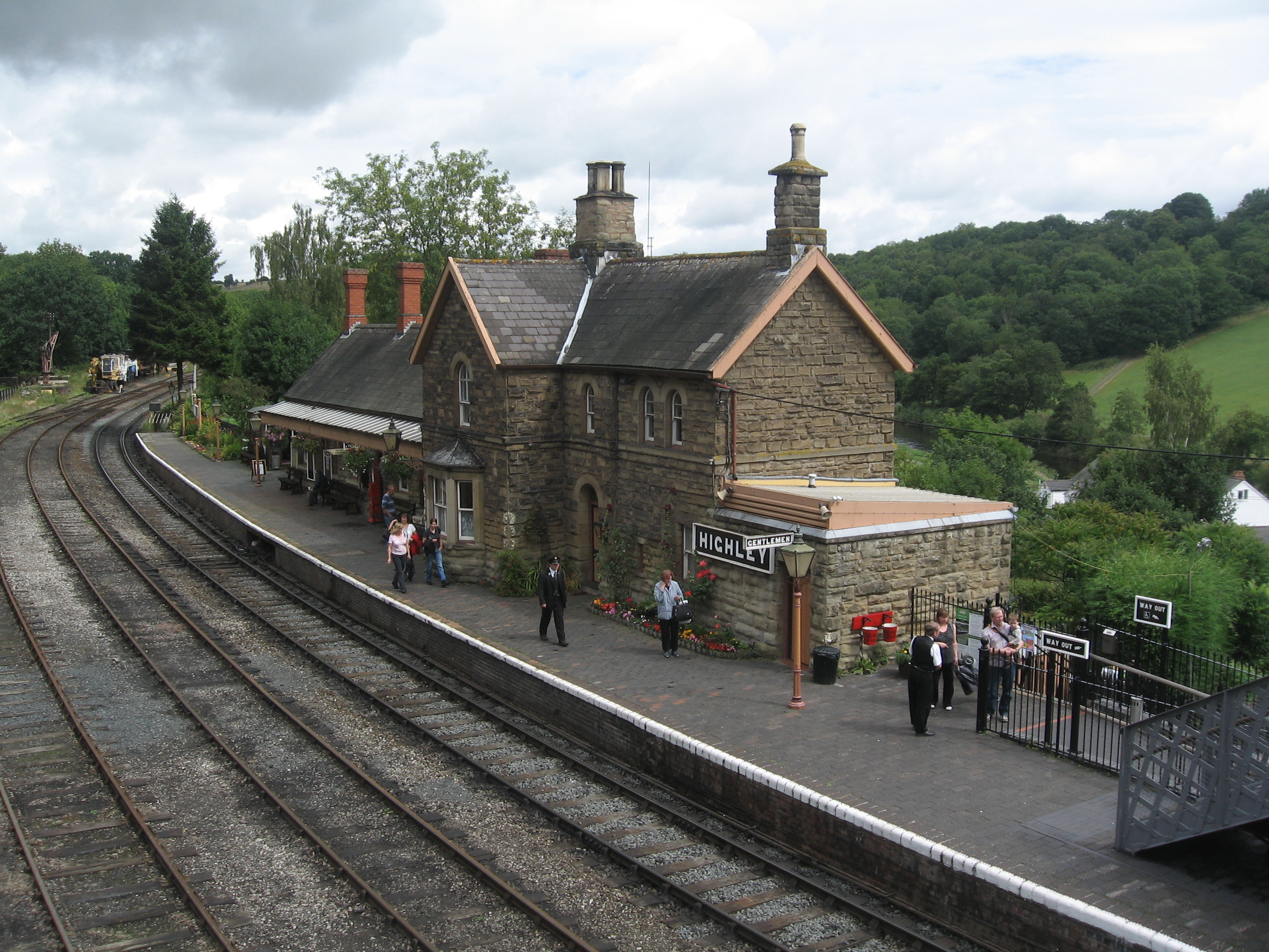
Highley railway station
Highley railway station is a station on the Severn Valley Railway heritage line in Shropshire, near the west bank of the River Severn and just under a...
Nearby Amenities
Located within 500m of 52.424454,-2.358067Have you been to The Grove Coppice?
Leave your review of The Grove Coppice below (or comments, questions and feedback).