Lower Common
Wood, Forest in Shropshire
England
Lower Common
Lower Common is a charming village located in the county of Shropshire, in the West Midlands region of England. Situated amidst the picturesque Wood Forest, the village is known for its idyllic setting and natural beauty. With a population of around 500 residents, Lower Common offers a peaceful and close-knit community.
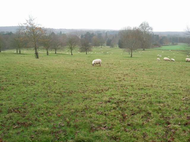
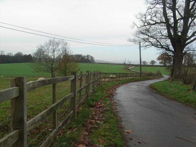
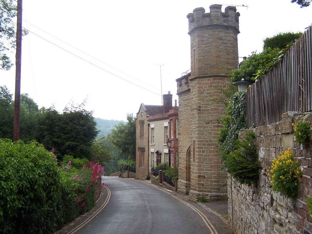
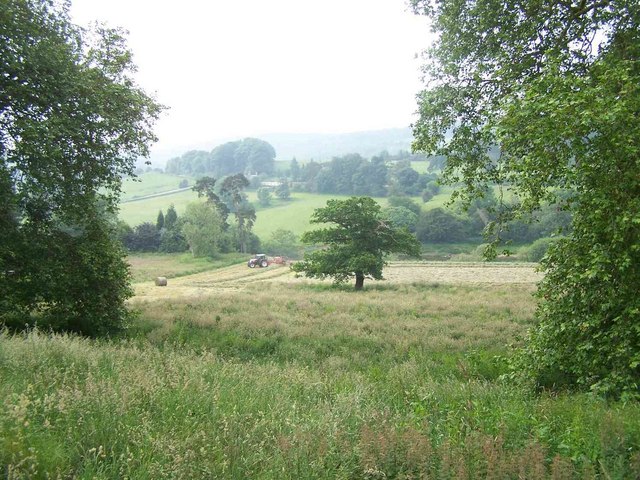
The village is characterized by its quaint cottages and traditional architecture, which adds to its timeless appeal. The surrounding Wood Forest provides a haven for nature enthusiasts, with its diverse range of flora and fauna. The forest is particularly renowned for its ancient oak trees, some of which are believed to be over 500 years old.
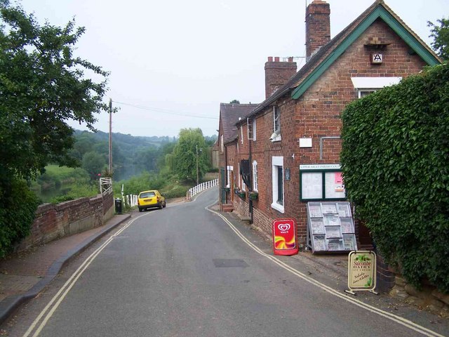
Lower Common is also home to a number of small businesses, including a local bakery, a cozy pub, and a village shop. These establishments provide essential services and contribute to the village's vibrant community spirit. The annual village fair, held in the summer, is a much-anticipated event that brings residents and visitors together, featuring traditional games, food stalls, and live entertainment.
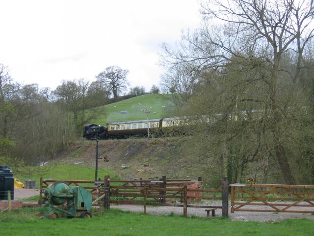
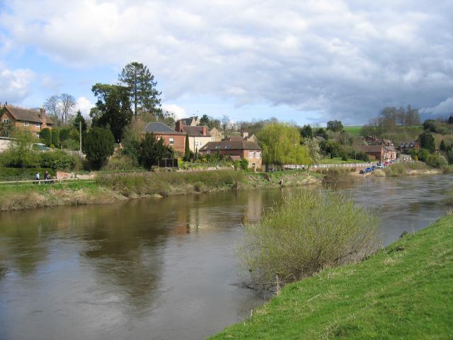
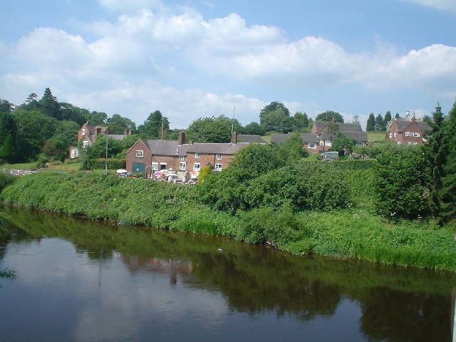
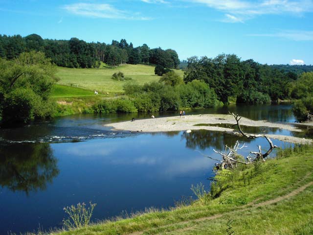
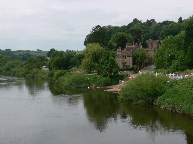
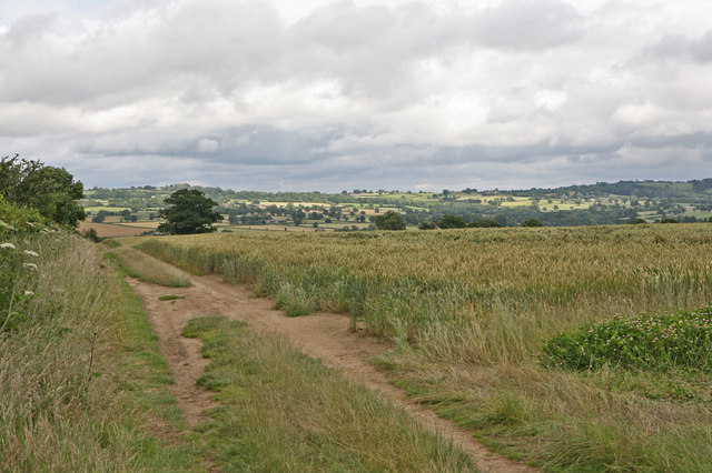
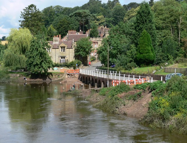
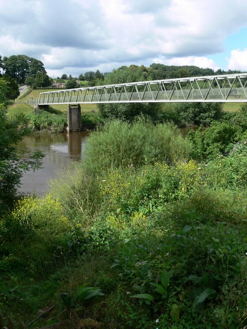
For those seeking outdoor activities, Lower Common offers an abundance of opportunities. The forest is a perfect setting for walking, cycling, and horse riding, with numerous trails and bridleways to explore. Additionally, the nearby River Teme provides a scenic backdrop for fishing and boating enthusiasts.
Overall, Lower Common, Shropshire (Wood, Forest) is a hidden gem nestled in the heart of the countryside. Its tranquil atmosphere, natural beauty, and strong community spirit make it an ideal place to live or visit for those seeking a peaceful retreat.
If you have any feedback on the listing, please let us know in the comments section below.
Lower Common Images
Images are sourced within 2km of 52.417637/-2.3649958 or Grid Reference SO7580. Thanks to Geograph Open Source API. All images are credited.


Lower Common is located at Grid Ref: SO7580 (Lat: 52.417637, Lng: -2.3649958)
Unitary Authority: Shropshire
Police Authority: West Mercia
What 3 Words
///subtitle.servers.scrubber. Near Highley, Shropshire
Nearby Locations
Related Wikis

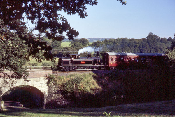
Arley railway station
Arley railway station is a station on the Severn Valley Railway heritage line in Worcestershire, situated just over the River Severn from the village of...

Upper Arley
Upper Arley (grid reference SO765805) is a village and civil parish near Kidderminster in the Wyre Forest District of Worcestershire, England. Historically...

Arley House and Gardens
Arley House and Gardens are situated at Upper Arley, about 4 miles (6.4 km) north-west of Bewdley, in Worcestershire, England. The gardens, arboretum and...

Pound Green
Pound Green is a hamlet in Upper Arley, Worcestershire, England. It has a number of tourist landmarks such as Ye Olde New Inn and a village hall that also...
Nearby Amenities
Located within 500m of 52.417637,-2.3649958Have you been to Lower Common?
Leave your review of Lower Common below (or comments, questions and feedback).