Birchen Wood

Wood, Forest in Herefordshire

England

Birchen Wood

Hollybush Hill It can be quite hard to imagine that 2000 years ago this quiet spot was part of a busy town - the Midsummer Hill iron-age hill-fort. 
Excavations in the late 1960s by Stan Stanford showed the area full of small building plots. 
Each plot had been reused time and time again over the centuries suggesting continuous occupation. 
The buildings used four posts arranged in a square - not at all like the round huts usually depicted for this era.
Evidence for similar square buildings have been found in other so called "hill-forts" in Herefordshire and the Welsh Marches
Hollybush Hill Credit: Bob Embleton

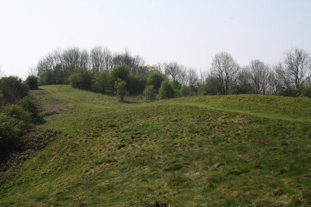
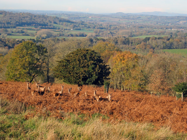
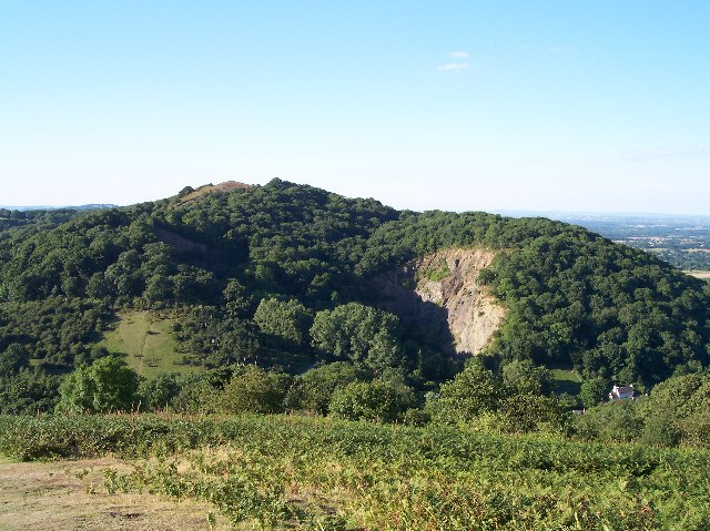
Birchen Wood is a picturesque woodland located in Herefordshire, England. Covering an area of approximately 150 hectares, it is a haven for nature enthusiasts and a popular destination for outdoor activities. The wood is primarily composed of birch trees, which give it its name, but it also features a diverse range of other tree species, including oak, ash, and beech.

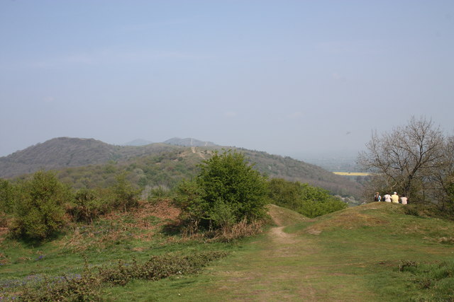
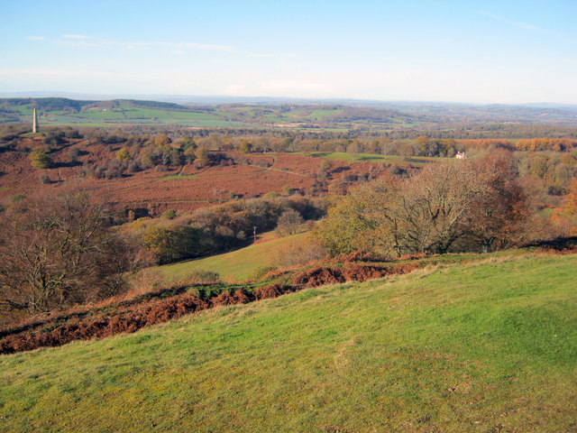
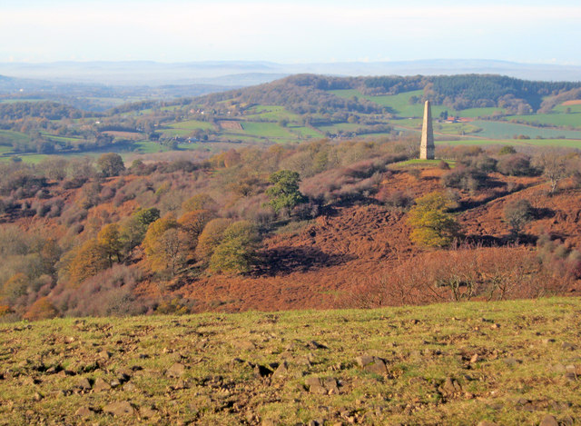
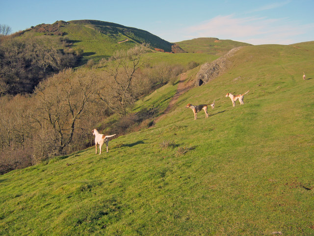
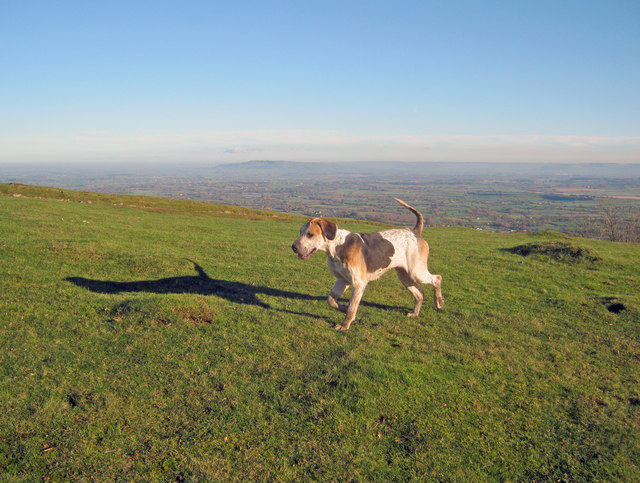
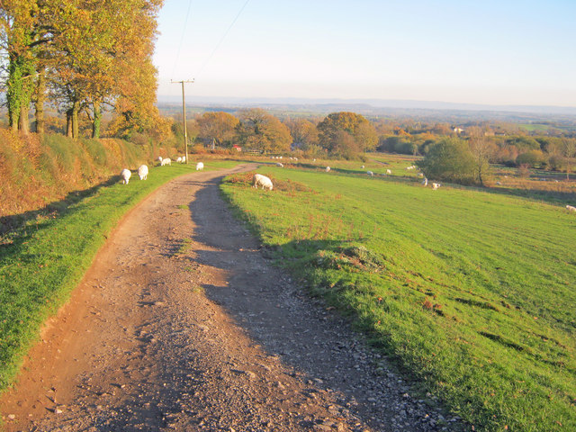
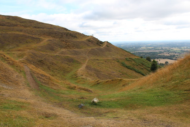
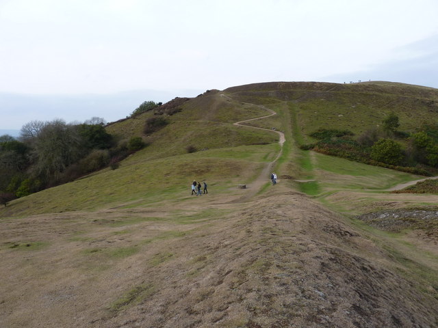
This ancient woodland is known for its natural beauty and tranquil atmosphere. Visitors can explore the network of well-maintained trails that wind through the wood, offering stunning views of the surrounding countryside and providing a chance to observe the abundant wildlife. The wood is home to a variety of bird species, such as woodpeckers, owls, and warblers, making it a haven for birdwatchers.

Birchen Wood also boasts a rich history, with evidence of human activity dating back centuries. The remains of ancient earthworks and boundary banks can still be seen, offering a glimpse into the area's past. The wood has been managed sustainably for many years, ensuring its continued preservation and allowing visitors to enjoy its beauty for generations to come.

In addition to its natural and historical significance, Birchen Wood provides recreational opportunities for visitors. It is a popular spot for walking, jogging, and cycling, with designated paths catering to different levels of difficulty. The wood is also a great place for picnics and family outings, with ample space and facilities available.

Overall, Birchen Wood is a gem of Herefordshire, offering a peaceful retreat in the heart of nature, with its enchanting woodland, diverse wildlife, and recreational amenities making it a must-visit destination for all nature lovers.

If you have any feedback on the listing, please let us know in the comments section below.
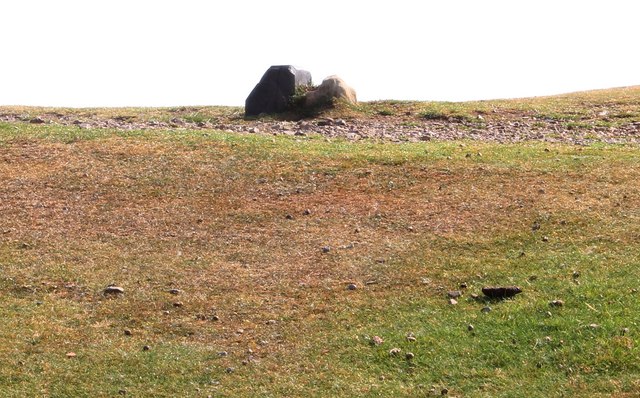
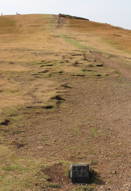
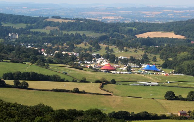
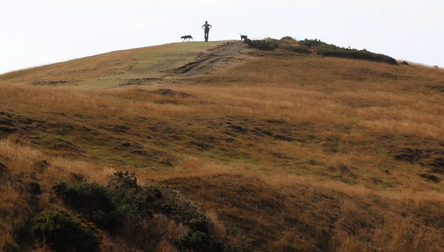
Birchen Wood Images

Images are sourced within 2km of 52.04191/-2.3621294 or Grid Reference SO7538. Thanks to Geograph Open Source API. All images are credited.

Hollybush Hill It can be quite hard to imagine that 2000 years ago this quiet spot was part of a busy town - the Midsummer Hill iron-age hill-fort. 
Excavations in the late 1960s by Stan Stanford showed the area full of small building plots. 
Each plot had been reused time and time again over the centuries suggesting continuous occupation. 
The buildings used four posts arranged in a square - not at all like the round huts usually depicted for this era.
Evidence for similar square buildings have been found in other so called "hill-forts" in Herefordshire and the Welsh Marches
Hollybush Hill
It can be quite hard to imagine that 2000 years ago this quiet spot was part of a busy town - the Midsummer Hill iron-age hill-fort. Excavations in the late 1960s by Stan Stanford showed the area full of small building plots. Each plot had been reused time and time again over the centuries suggesting continuous occupation. The buildings used four posts arranged in a square - not at all like the round huts usually depicted for this era. Evidence for similar square buildings have been found in other so called "hill-forts" in Herefordshire and the Welsh Marches
North gate of Midsummer Hill iron-age  hill-fort Looking north along the Malvern Hills.
Another hill-fort occupies Herefordshire Beacon on the left.
Straight ahead are three overlapping peaks of Pinnacle Hill (north and south) and Black Hill.
In the far distance one can just make out Worcestershire Beacon in the haze.
North gate of Midsummer Hill iron-age hill-fort
Looking north along the Malvern Hills. Another hill-fort occupies Herefordshire Beacon on the left. Straight ahead are three overlapping peaks of Pinnacle Hill (north and south) and Black Hill. In the far distance one can just make out Worcestershire Beacon in the haze.
The shelter on Midsummer Hill The shelter was built by the owners of Eastnor Castle and the hill.
In 1923 the hill was given to the National Trust in memory of Captain Reginald Somers Cocks, MC who died in the first world war.
The shelter on Midsummer Hill
The shelter was built by the owners of Eastnor Castle and the hill. In 1923 the hill was given to the National Trust in memory of Captain Reginald Somers Cocks, MC who died in the first world war.
Hillfort ditch on Midsummer Hill Looking north-west from Midsummer Hill with the Somers Obelisk on the left and Peacock Villa on the right. A commanding view across the countryside as autumn takes a grip. The ditch just below runs around the complete top of Midsummer Hill and Hollybush Hill to enclose a large area. Less well-known than its neighbour the Hereford Beacon, but may well have been just as important in the Iron Age.
Hillfort ditch on Midsummer Hill
Looking north-west from Midsummer Hill with the Somers Obelisk on the left and Peacock Villa on the right. A commanding view across the countryside as autumn takes a grip. The ditch just below runs around the complete top of Midsummer Hill and Hollybush Hill to enclose a large area. Less well-known than its neighbour the Hereford Beacon, but may well have been just as important in the Iron Age.
The obelisk from Midsummer Hill From Midsummer Hill looking west across Eastnor Park to Frith Hill above Ledbury.
The obelisk from Midsummer Hill
From Midsummer Hill looking west across Eastnor Park to Frith Hill above Ledbury.
Red Deer in Eastnor Park View north-east towards a group of deer foraging amongst the bracken. Around 200 deer roam the large area of parkland.
Red Deer in Eastnor Park
View north-east towards a group of deer foraging amongst the bracken. Around 200 deer roam the large area of parkland.
Hounds on Broad Down View north to the Herefordshire Beacon with Clutter's Cave just ahead. The Ledbury Hunt is scouring the Eastnor estate off to the left and these hounds have come up to the hilltop to check things out.
Hounds on Broad Down
View north to the Herefordshire Beacon with Clutter's Cave just ahead. The Ledbury Hunt is scouring the Eastnor estate off to the left and these hounds have come up to the hilltop to check things out.
Hound on Broad Down A member of the Ledbury Hunt pack bounds across the top of the down. Bredon Hill and the Cotswold escarpment in the distance to the east.
Hound on Broad Down
A member of the Ledbury Hunt pack bounds across the top of the down. Bredon Hill and the Cotswold escarpment in the distance to the east.
Track across Castlemorton Common Heading east towards Bowling Green.
Track across Castlemorton Common
Heading east towards Bowling Green.
Boundary Stones, British Camp, the Malvern Hills Two boundary markers: the right-hand one being a somewhat sunken stone and the other being a Malvern Hills Conservators' blue brick marker.
They are on the ridge of the Malvern hills in the saddle between Herefordshire Beacon and Millennium Hill. 
The iron-age hill fort known as British camp occupies both hill tops and these markers are close to the western gate to the fort.
Boundary Stones, British Camp, the Malvern Hills
Two boundary markers: the right-hand one being a somewhat sunken stone and the other being a Malvern Hills Conservators' blue brick marker. They are on the ridge of the Malvern hills in the saddle between Herefordshire Beacon and Millennium Hill. The iron-age hill fort known as British camp occupies both hill tops and these markers are close to the western gate to the fort.
Boundary marker, British Camp, Malvern The blue brick marker is bears the inscription MHC 159.
It was placed here by the Malvern Hills Conservators on the ridge of the hills in the saddle between Herefordshire Beacon and Millennium Hill.
The peak of the latter can be seen along the well worn ridge.
Just behind the marker and barely visible in this photo is a much older boundary stone in a somewhat sunken state.
If one looks carefully it is possible to see the levelled hut platforms of the iron-age town on the slopes of the hill side.
Boundary marker, British Camp, Malvern
The blue brick marker is bears the inscription MHC 159. It was placed here by the Malvern Hills Conservators on the ridge of the hills in the saddle between Herefordshire Beacon and Millennium Hill. The peak of the latter can be seen along the well worn ridge. Just behind the marker and barely visible in this photo is a much older boundary stone in a somewhat sunken state. If one looks carefully it is possible to see the levelled hut platforms of the iron-age town on the slopes of the hill side.
Big Chill 2011, Eastnor Deer Park Viewed from British Camp on the Malvern Hills in the week preceding the weekend musical festival.
Eastnor Castle is visible on the left and in the lower right-hand corner are Netherton Cottages.
Big Chill 2011, Eastnor Deer Park
Viewed from British Camp on the Malvern Hills in the week preceding the weekend musical festival. Eastnor Castle is visible on the left and in the lower right-hand corner are Netherton Cottages.
Millennium Hill, Malvern Hills The hill is the southern of two peaks included in the iron-age hill fort known as British Camp.
Almost all of the Malvern Hills is under the care of the Malvern Hills Conservators and is open to the public and very popular with dog walkers.
Millennium Hill, Malvern Hills
The hill is the southern of two peaks included in the iron-age hill fort known as British Camp. Almost all of the Malvern Hills is under the care of the Malvern Hills Conservators and is open to the public and very popular with dog walkers.
Boundary Stones, British Camp, the Malvern Hills The county boundary making use of the iron-age defensive ditch. The stone marker is older and the blue brick is a Malvern Hills Conservator marker.
Boundary Stones, British Camp, the Malvern Hills
The county boundary making use of the iron-age defensive ditch. The stone marker is older and the blue brick is a Malvern Hills Conservator marker.
Big Chill 2011, Eastnor Deer Park On the Friday morning, yet still more vehicles arriving.
Big Chill 2011, Eastnor Deer Park
On the Friday morning, yet still more vehicles arriving.
Hollybush Fete, Hollybush Church Hall, 2011 An auction of donated items too good for the bric-a-brac stall is taking place.
On the other side of the hall the skittles competition was taking place.
On this side books, CDs, a raffle.
Inside the hall, Cakes, jams, produce (I bought a box of quinces for £1!) clothes, and the bric-a-brac stall.
Scrummy cakes and cups of tea served in the adjoining room.
Hollybush Fete, Hollybush Church Hall, 2011
An auction of donated items too good for the bric-a-brac stall is taking place. On the other side of the hall the skittles competition was taking place. On this side books, CDs, a raffle. Inside the hall, Cakes, jams, produce (I bought a box of quinces for £1!) clothes, and the bric-a-brac stall. Scrummy cakes and cups of tea served in the adjoining room.
Skittles, Hollybush village fete, 2011 At the back of the church hall.
The ball return guttering is still working despite slowly deteriorating over the decades.
Skittles, Hollybush village fete, 2011
At the back of the church hall. The ball return guttering is still working despite slowly deteriorating over the decades.
Shire Ditch and the path onto Millennium Hill
Show me another place!

Birchen Wood is located at Grid Ref: SO7538 (Lat: 52.04191, Lng: -2.3621294)

Unitary Authority: County of Herefordshire

Police Authority: West Mercia

What 3 Words

///connector.apparatus.drainage. Near Ledbury, Herefordshire

Nearby Locations

Gullet Wood Birchen Wood

Related Wikis

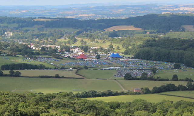
Electromagnetic Field (festival)

Electromagnetic Field (also known as EMF, or EMF Camp) is a camping festival in the UK, held every two years, for hackers, geeks, engineers and scientists...

Midsummer Hill

Midsummer Hill is situated in the range of Malvern Hills that runs approximately 13 kilometres (8 mi) north-south along the Herefordshire-Worcestershire...

Hollybush Hill

Hollybush Hill is situated in the range of Malvern Hills that runs approximately 13 kilometres (8 mi) north–south along the Herefordshire–Worcestershire...

Bronsil Castle

Bronsil Castle was a fortified manor house about 1 mile (1.6 km) to the east of Eastnor in Herefordshire, England near Ledbury). It is a Grade II* listed...

Nearby Amenities

Located within 500m of 52.04191,-2.3621294
Barrier: kissing_gate
Foot: yes
Source: survey
Lat/Long: 52.0462218/-2.362075
Barrier: kissing_gate
Foot: yes
Source: survey
Lat/Long: 52.042722/-2.3600657
Man Made: water_well
Source: OS 1:25k
Lat/Long: 52.0445581/-2.364949
Man Made: water_well
Source: OS 1:25k
Lat/Long: 52.0420301/-2.357102
Man Made: water_well
Source: OS 1:25k
Lat/Long: 52.0409676/-2.359001
Edward Charles Cocks
Historic: memorial
Lat/Long: 52.0383087/-2.3625359
James Cocks
Historic: memorial
Lat/Long: 52.0382401/-2.3625095
John Lord Somers
Historic: memorial
Lat/Long: 52.0382664/-2.3625787
Lord Chancellor Somers
Historic: memorial
Lat/Long: 52.0382802/-2.3624742
Barrier: cattle_grid
Lat/Long: 52.0399657/-2.3564386
Location Transition: yes
Power: pole
Transformer: distribution
Voltage Primary: 11000
Lat/Long: 52.0411395/-2.3571789
The data included in this document is from www.openstreetmap.org. The data is made available under ODbL.

Have you been to Birchen Wood?

Leave your review of Birchen Wood below (or comments, questions and feedback).