Coalhill Coppice
Wood, Forest in Gloucestershire Forest of Dean
England
Coalhill Coppice
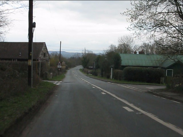
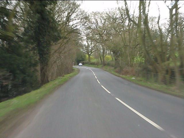
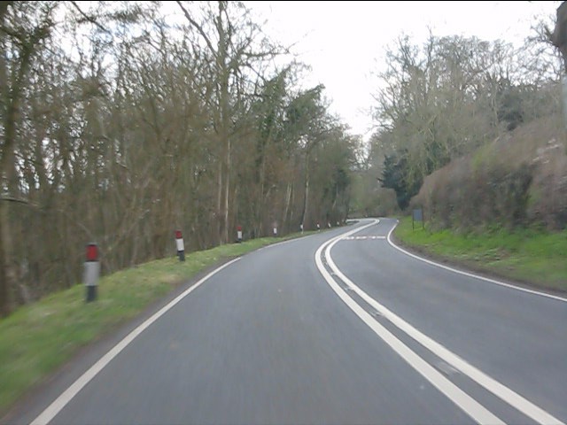
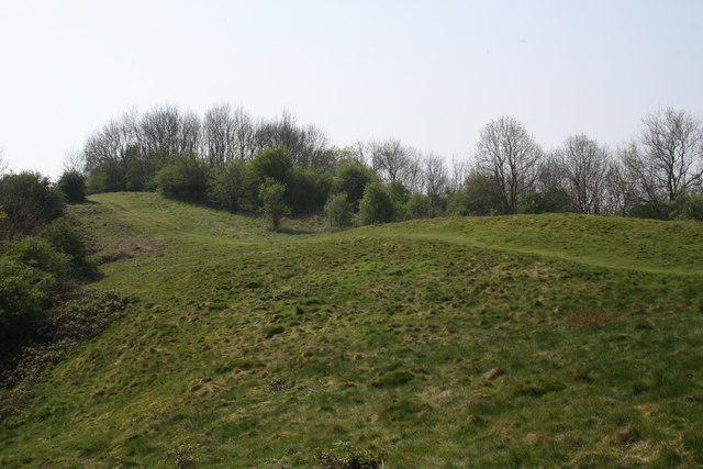
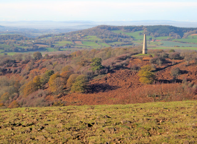
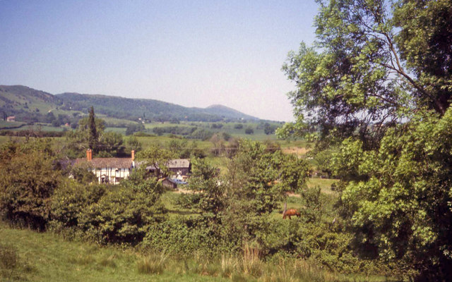
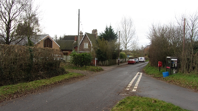
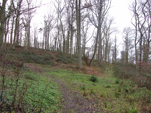
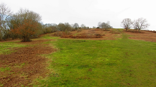
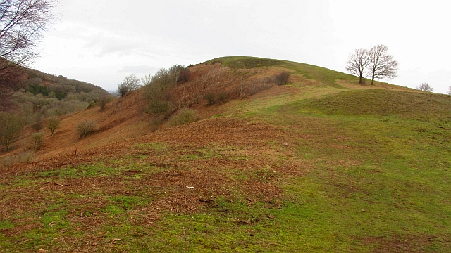
Coalhill Coppice is a picturesque woodland located in Gloucestershire, England. Covering an area of approximately 50 acres, it is an enchanting destination for nature lovers and outdoor enthusiasts alike. Situated just a few miles outside the bustling town of Stroud, this ancient forest offers a tranquil and serene atmosphere for visitors to escape the hustle and bustle of everyday life.
The coppice's name originates from the historical coal mining activities that took place in the area during the 17th and 18th centuries. Today, however, the woodland is a thriving ecosystem, home to a diverse range of flora and fauna. It boasts a rich variety of tree species, including oak, ash, beech, and birch, which create a dense canopy overhead, providing shade and shelter for the undergrowth below.
Exploring Coalhill Coppice, visitors will discover a network of well-maintained footpaths and trails that wind their way through the woodland. These pathways offer the perfect opportunity to immerse oneself in the natural beauty of the environment, with glimpses of wildflowers, ferns, and mosses that thrive on the forest floor.
The abundant wildlife in Coalhill Coppice is another highlight for nature enthusiasts. The forest is teeming with bird species, such as woodpeckers, nightingales, and owls, making it a popular spot for birdwatching. Squirrels, badgers, and deer can also be spotted if one is lucky, adding to the magical charm of the woodland.
Overall, Coalhill Coppice in Gloucestershire is a haven for those seeking solace in nature. Its ancient trees, peaceful trails, and thriving wildlife make it a true gem of the region, inviting visitors to connect with the beauty and tranquility of the natural world.
If you have any feedback on the listing, please let us know in the comments section below.
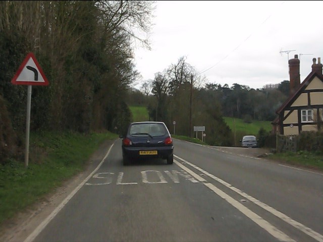
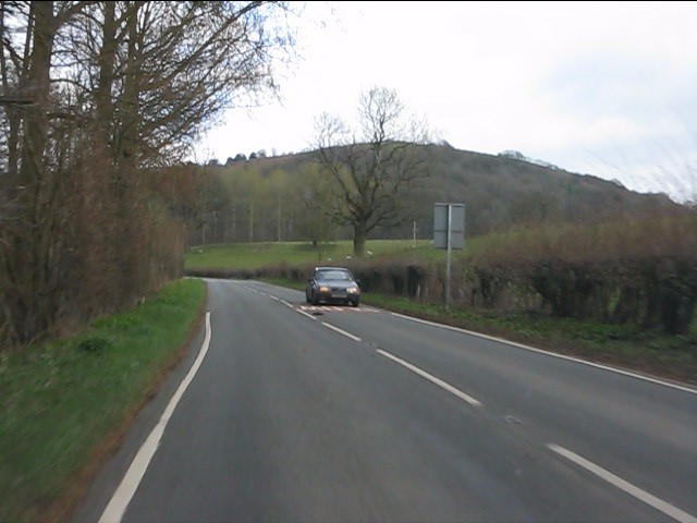
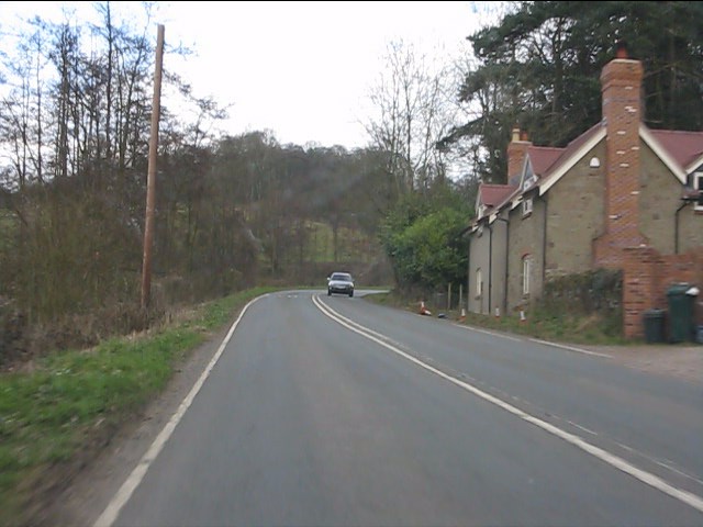
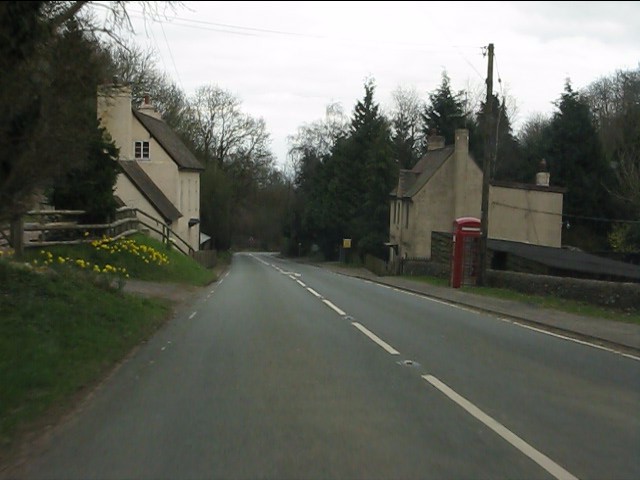
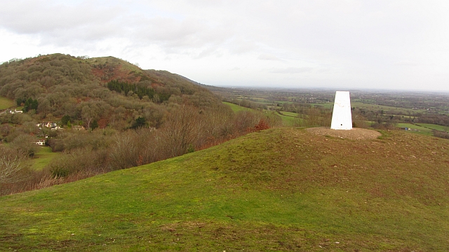
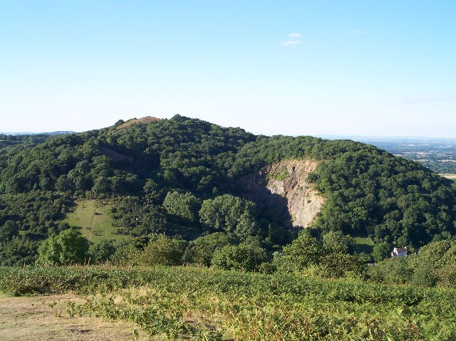
Coalhill Coppice Images
Images are sourced within 2km of 52.018026/-2.3551167 or Grid Reference SO7535. Thanks to Geograph Open Source API. All images are credited.

Coalhill Coppice is located at Grid Ref: SO7535 (Lat: 52.018026, Lng: -2.3551167)
Administrative County: Gloucestershire
District: Forest of Dean
Police Authority: Gloucestershire
What 3 Words
///swimsuits.streaking.exhaling. Near Donnington, Herefordshire
Nearby Locations
Related Wikis

Whiteleaved Oak
Whiteleaved Oak is a hamlet in the English county of Herefordshire, lying in a valley at the southern end of the Malvern Hills between Raggedstone Hill...

Raggedstone Hill
Raggedstone Hill is situated on the range of Malvern Hills that runs approximately 13 kilometres (8 mi) north-south along the Herefordshire-Worcestershire...

Hollybush, Worcestershire
Hollybush is a small village in Worcestershire at the southern end of the Malvern Hills and close to the borders of both Gloucestershire and Herefordshire...

Bronsil Castle
Bronsil Castle was a fortified manor house about 1 mile (1.6 km) to the east of Eastnor in Herefordshire, England near Ledbury). It is a Grade II* listed...
Midsummer Hill
Midsummer Hill is situated in the range of Malvern Hills that runs approximately 13 kilometres (8 mi) north-south along the Herefordshire-Worcestershire...
Hollybush Hill
Hollybush Hill is situated in the range of Malvern Hills that runs approximately 13 kilometres (8 mi) north–south along the Herefordshire–Worcestershire...

Rye Cross
Rye Cross is a hamlet in south-west Worcestershire 1 mile west of Castlemorton, 0.5 miles east of Berrow and 1 mile south of Hollybush, near the borders...

Bromsberrow
Bromsberrow (or Bromesberrow) is part of the Forest of Dean district. The village is close to the meeting point between Gloucestershire, Herefordshire...
Nearby Amenities
Located within 500m of 52.018026,-2.3551167There is a notice-board at this junction./(unnamed)
Have you been to Coalhill Coppice?
Leave your review of Coalhill Coppice below (or comments, questions and feedback).