High Wood

Wood, Forest in Gloucestershire Forest of Dean

England

High Wood

A449 at Wayend Street
A449 at Wayend Street Credit: Peter Whatley

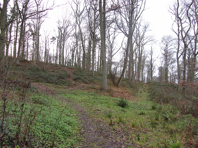
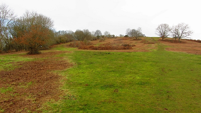
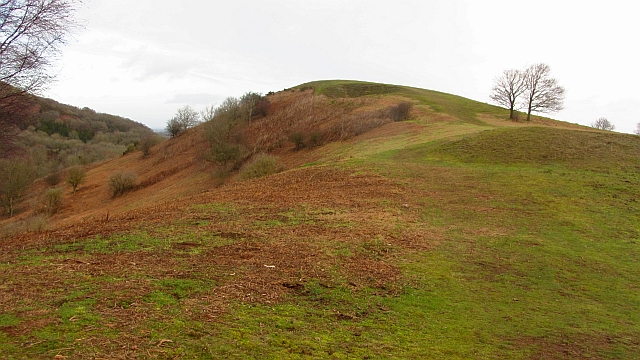
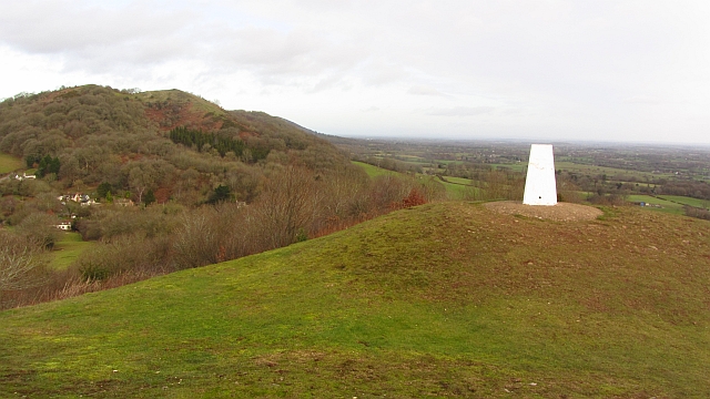
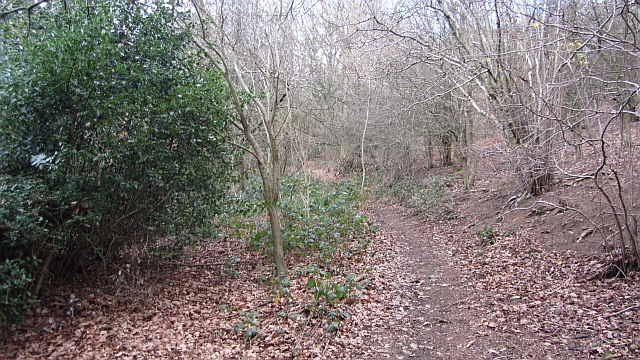
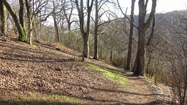
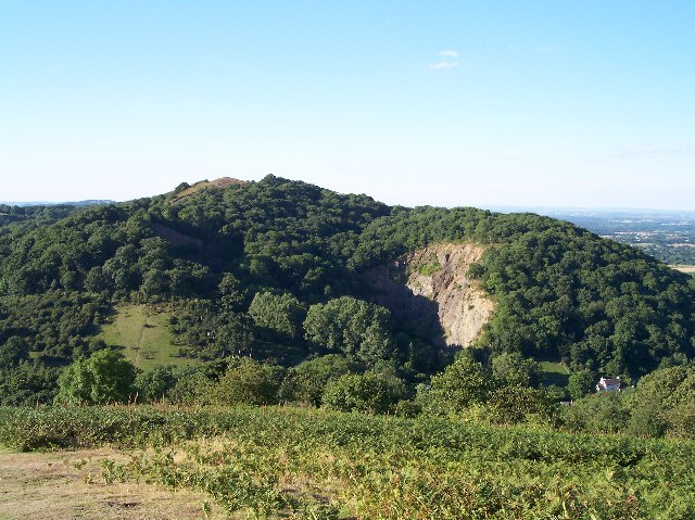
High Wood is a small forest located in the county of Gloucestershire, England. Situated near the town of Newent, it covers an area of approximately 100 acres. The wood is predominantly made up of deciduous trees such as oak, beech, and birch, creating a diverse and vibrant landscape.

The forest is known for its rich biodiversity, providing a habitat for a wide range of flora and fauna. Various species of birds, including woodpeckers and owls, can be spotted among the treetops, while deer and foxes roam the forest floor. The woodland floor is adorned with an array of wildflowers, adding to its natural beauty.

High Wood is a popular destination for nature enthusiasts and outdoor enthusiasts alike. It offers numerous walking trails, allowing visitors to explore the forest and enjoy its tranquil surroundings. The wood also features picnic areas, making it an ideal spot for a family day out.

The forest has a rich history, with evidence of human activity dating back thousands of years. Archaeological remains, including ancient burial mounds, have been discovered within the wood, providing insights into the area's past.

Overall, High Wood in Gloucestershire is a picturesque and biodiverse forest, offering visitors a chance to connect with nature and immerse themselves in its natural beauty.

If you have any feedback on the listing, please let us know in the comments section below.
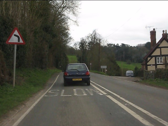
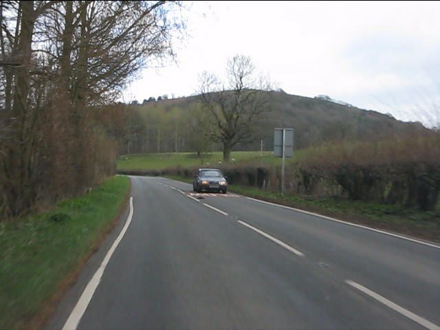
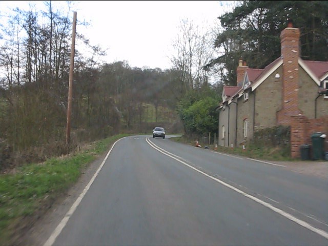
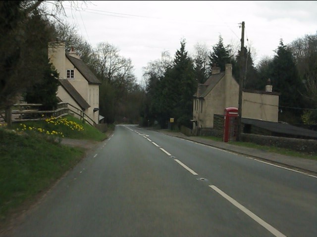
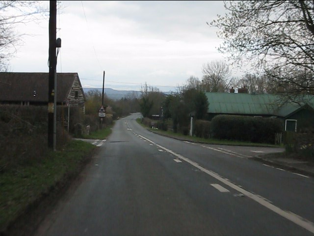
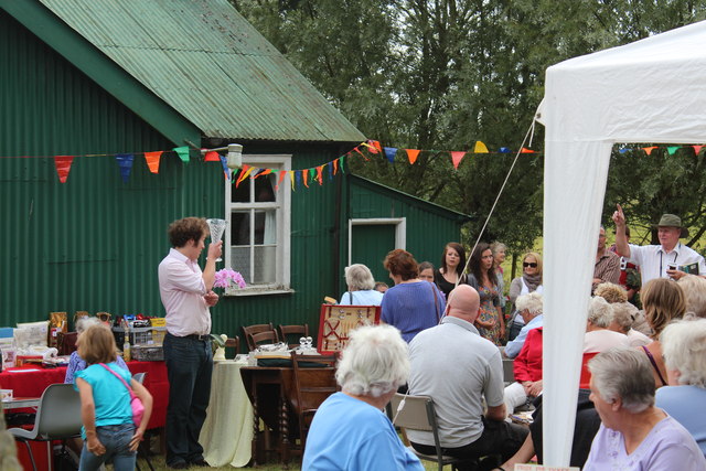
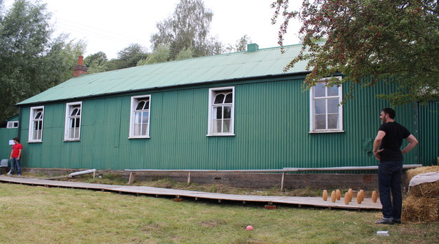
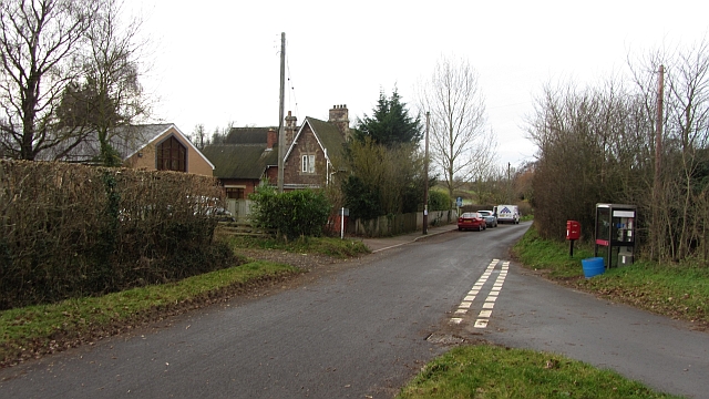
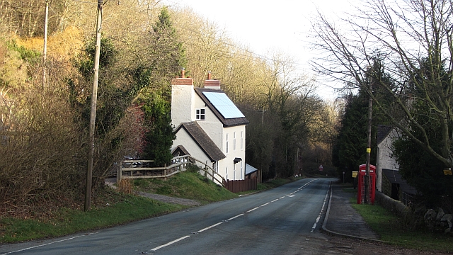
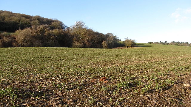
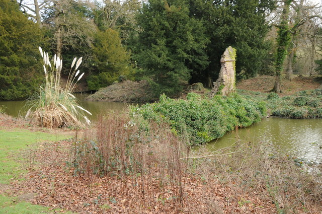
High Wood Images

Images are sourced within 2km of 52.016367/-2.3623455 or Grid Reference SO7535. Thanks to Geograph Open Source API. All images are credited.

A449 at Wayend Street
Hollybush Hill from the A438
Roadside cottages near Hollybush
A438 at Hollybush
A438 at Hollybush
Hollybush crossroads, A438
Hollybush Fete, Hollybush Church Hall, 2011 An auction of donated items too good for the bric-a-brac stall is taking place.
On the other side of the hall the skittles competition was taking place.
On this side books, CDs, a raffle.
Inside the hall, Cakes, jams, produce (I bought a box of quinces for £1!) clothes, and the bric-a-brac stall.
Scrummy cakes and cups of tea served in the adjoining room.
Hollybush Fete, Hollybush Church Hall, 2011
An auction of donated items too good for the bric-a-brac stall is taking place. On the other side of the hall the skittles competition was taking place. On this side books, CDs, a raffle. Inside the hall, Cakes, jams, produce (I bought a box of quinces for £1!) clothes, and the bric-a-brac stall. Scrummy cakes and cups of tea served in the adjoining room.
Skittles, Hollybush village fete, 2011 At the back of the church hall.
The ball return guttering is still working despite slowly deteriorating over the decades.
Skittles, Hollybush village fete, 2011
At the back of the church hall. The ball return guttering is still working despite slowly deteriorating over the decades.
School, Bromesberrow Village primary school and telephone box seen from the green.
School, Bromesberrow
Village primary school and telephone box seen from the green.
Hayes Coppice One of the many small woodlands in the surrounds of the Malvern Hills. This is a great place to visit if you like traditional old English woodland.  This is the Bromesberrow Estate in Gloucestershire, just to the north in Herefordshire is Eastnor which is also well wooded and very light on the Sitka.
 Oaks dominate the deep soils on the sandstones. Further up the hill on thin soils above Uriconian rocks ashes, some huge are the favoured tree.  Sadly the invasive sycamore is too common in the Malvern Hills, it thrived when grazing stopped.
Hayes Coppice
One of the many small woodlands in the surrounds of the Malvern Hills. This is a great place to visit if you like traditional old English woodland. This is the Bromesberrow Estate in Gloucestershire, just to the north in Herefordshire is Eastnor which is also well wooded and very light on the Sitka. Oaks dominate the deep soils on the sandstones. Further up the hill on thin soils above Uriconian rocks ashes, some huge are the favoured tree. Sadly the invasive sycamore is too common in the Malvern Hills, it thrived when grazing stopped.
Chase End Hill Path junction on the southern end of the Malvern Hills. It is much quieter here than up at the Malvern end and the paths are grass or moss covered. The common is about to be grazed again and fencing has been put in to keep the stock in.
In 2001 the Malvern Hills was closed off as part of precautions against foot and mouth disease. I can remember the feeling of being conned when  I later found out that there was no livestock up at the Malvern end as the sheep kept getting out and trashing expensive gardens. There was of course no need whatsoever to close the place down and we were all caught admiring the King's dashing new threads.  
The cessation of grazing has encouraged sycamores as well as the more desirable succession woodlands. Chase End has been regularly mown.
Chase End Hill
Path junction on the southern end of the Malvern Hills. It is much quieter here than up at the Malvern end and the paths are grass or moss covered. The common is about to be grazed again and fencing has been put in to keep the stock in. In 2001 the Malvern Hills was closed off as part of precautions against foot and mouth disease. I can remember the feeling of being conned when I later found out that there was no livestock up at the Malvern end as the sheep kept getting out and trashing expensive gardens. There was of course no need whatsoever to close the place down and we were all caught admiring the King's dashing new threads. The cessation of grazing has encouraged sycamores as well as the more desirable succession woodlands. Chase End has been regularly mown.
Chase End Hill Southern terminus of the Malvern Hills and an Uriconian foothold in Gloucestershire. The march with Worcestershire runs along the ridge with this western side being in Gloucestershire. The common is grazed again after a long period of being left.
Chase End Hill
Southern terminus of the Malvern Hills and an Uriconian foothold in Gloucestershire. The march with Worcestershire runs along the ridge with this western side being in Gloucestershire. The common is grazed again after a long period of being left.
Chase End Hill The summit and triangulation pillar of the southernmost Malvern hill. View towards Raggedstone Hill. Very impressive scenery, great to see so much broadleaved woodland. The benchmark number is S5030.

I am standing just inside Gloucestershire and there is a very good view over the flat and low lying plain in Worcestershire, the flood plain of the Avon and Severn.
Chase End Hill
The summit and triangulation pillar of the southernmost Malvern hill. View towards Raggedstone Hill. Very impressive scenery, great to see so much broadleaved woodland. The benchmark number is S5030. I am standing just inside Gloucestershire and there is a very good view over the flat and low lying plain in Worcestershire, the flood plain of the Avon and Severn.
Path, Raggedstone Common A path through the woods on the east side of Raggedstone Common.
Path, Raggedstone Common
A path through the woods on the east side of Raggedstone Common.
Hollybush The A438 descends into Worcestershire after crossing one of the passes over the Malvern Hills.
Hollybush
The A438 descends into Worcestershire after crossing one of the passes over the Malvern Hills.
Polytunnel hoops The frames for fruit tunnels are exposed during the winter.
Polytunnel hoops
The frames for fruit tunnels are exposed during the winter.
Field, Clencher's Mill A field recently vacated by sheep. There is an extensive woodland on a Silurian limestone ridge here.
Field, Clencher's Mill
A field recently vacated by sheep. There is an extensive woodland on a Silurian limestone ridge here.
Bronsil Castle Little remains of Bronsil Castle in terms of masonry however the site still retains a decent moat part of which can be seen here.
Bronsil Castle
Little remains of Bronsil Castle in terms of masonry however the site still retains a decent moat part of which can be seen here.
Woodland, Midsummer Hill A pleasant path down to Hollybush with no hint of the quarry on the left.
Woodland, Midsummer Hill
A pleasant path down to Hollybush with no hint of the quarry on the left.
Show me another place!

High Wood is located at Grid Ref: SO7535 (Lat: 52.016367, Lng: -2.3623455)

Administrative County: Gloucestershire

District: Forest of Dean

Police Authority: Gloucestershire

What 3 Words

///answer.drag.neckline. Near Donnington, Herefordshire

Related Wikis

Whiteleaved Oak

Whiteleaved Oak is a hamlet in the English county of Herefordshire, lying in a valley at the southern end of the Malvern Hills between Raggedstone Hill...

Raggedstone Hill

Raggedstone Hill is situated on the range of Malvern Hills that runs approximately 13 kilometres (8 mi) north-south along the Herefordshire-Worcestershire...

Bronsil Castle

Bronsil Castle was a fortified manor house about 1 mile (1.6 km) to the east of Eastnor in Herefordshire, England near Ledbury). It is a Grade II* listed...

Bromsberrow

Bromsberrow (or Bromesberrow) is part of the Forest of Dean district. The village is close to the meeting point between Gloucestershire, Herefordshire...

Hollybush, Worcestershire

Hollybush is a small village in Worcestershire at the southern end of the Malvern Hills and close to the borders of both Gloucestershire and Herefordshire...

Midsummer Hill

Midsummer Hill is situated in the range of Malvern Hills that runs approximately 13 kilometres (8 mi) north-south along the Herefordshire-Worcestershire...

Hollybush Hill

Hollybush Hill is situated in the range of Malvern Hills that runs approximately 13 kilometres (8 mi) north–south along the Herefordshire–Worcestershire...

Eastnor Castle

Eastnor Castle, Eastnor, Herefordshire, is a 19th-century mock castle. Eastnor was built for John Cocks, 1st Earl Somers, who employed Robert Smirke, later...

Nearby Amenities

Located within 500m of 52.016367,-2.3623455
Howlers Heath
Place: locality
Source: OS 1:25k
Lat/Long: 52.0162211/-2.3680409
Fixme: incomplete
Lat/Long: 52.0140566/-2.360976
Fixme: incomplete
Lat/Long: 52.0142597/-2.3598012
Fixme: incomplete
Lat/Long: 52.0137859/-2.3599085
Fixme: incomplete
Lat/Long: 52.0179675/-2.3621998
Fixme: incomplete
Lat/Long: 52.0143274/-2.3613193
Barrier: stile
Source: survey+gps
Lat/Long: 52.0141435/-2.3651048
The data included in this document is from www.openstreetmap.org. The data is made available under ODbL.

Have you been to High Wood?

Leave your review of High Wood below (or comments, questions and feedback).