Littley Coppice

Wood, Forest in Worcestershire

England

Littley Coppice

Birches Farm In the valley of the Whippets Brook between the limestone ridge to the west and the granite of the Malvern Hills to the east.
Birches Farm Credit: Bob Embleton

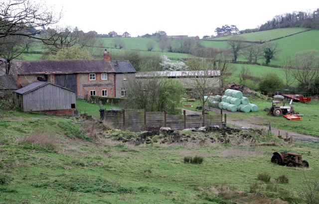
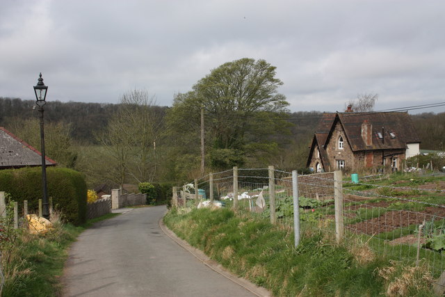
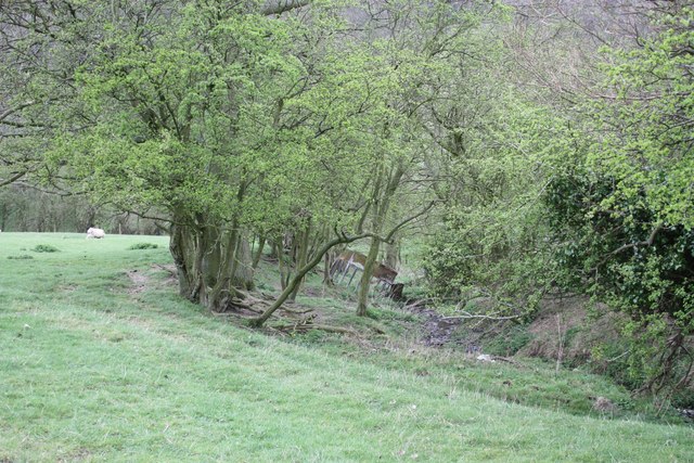
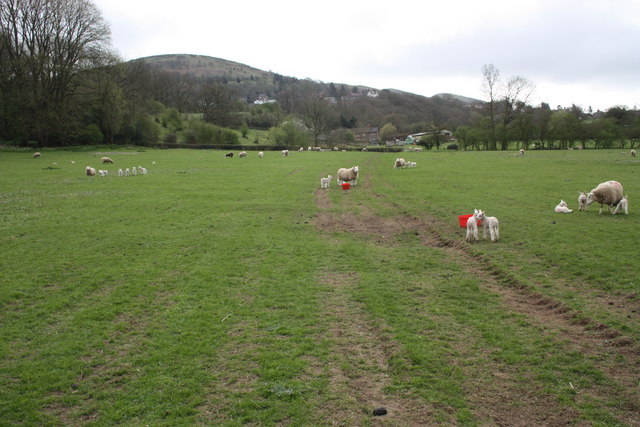
Littley Coppice is a small woodland located in Worcestershire, England. Spanning approximately 10 acres, it is situated near the village of Littley Green, just a few miles outside the town of Droitwich Spa. The coppice is part of a larger area of mixed woodland that covers the gently rolling countryside of the region.

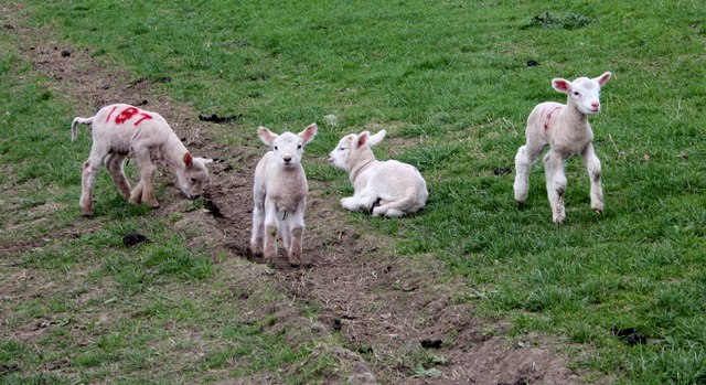
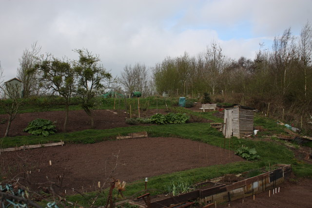
The woodland is predominantly made up of various species of native trees, including oak, ash, beech, and birch. The dense canopy created by these trees provides a habitat for a diverse range of wildlife, including woodland birds, squirrels, and various insects. The forest floor is covered with a thick carpet of moss, ferns, and wildflowers, adding to the natural beauty of the area.

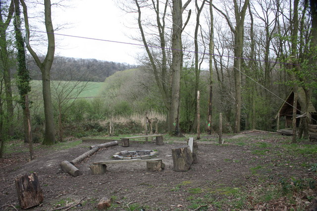
Littley Coppice is a popular destination for nature enthusiasts and walkers, who enjoy exploring the well-maintained footpaths that crisscross the woodland. These paths provide access to the heart of the coppice, where visitors can immerse themselves in the tranquility of nature and admire the stunning scenery. The woodland is particularly enchanting during the spring and summer months when the trees are in full leaf and the air is filled with the songs of birds.

In addition to its recreational value, Littley Coppice also plays an important ecological role. The woodland helps to improve air quality by absorbing carbon dioxide and releasing oxygen into the atmosphere. It also acts as a natural water filter, purifying rainwater and preventing soil erosion. The diverse range of plant species in the coppice provides a valuable food source for local wildlife, contributing to the overall biodiversity of the area.

Overall, Littley Coppice is a picturesque woodland that offers both beauty and ecological significance to the Worcestershire countryside.

If you have any feedback on the listing, please let us know in the comments section below.

Littley Coppice Images

Images are sourced within 2km of 52.107275/-2.3613303 or Grid Reference SO7545. Thanks to Geograph Open Source API. All images are credited.

Birches Farm In the valley of the Whippets Brook between the limestone ridge to the west and the granite of the Malvern Hills to the east.
Birches Farm
In the valley of the Whippets Brook between the limestone ridge to the west and the granite of the Malvern Hills to the east.
Young lambs near Birches Farm The lambs are numbered to match their mothers.
They seemed to gather on the footpath and appeared more curious than cautious - until their anxious mothers called to them.
Young lambs near Birches Farm
The lambs are numbered to match their mothers. They seemed to gather on the footpath and appeared more curious than cautious - until their anxious mothers called to them.
Reception, West Malvern Outdoor Centre Dating back to the open air school of 1914.
"The main focus of a visit to the centre is the residential experience, incorporating activities designed to challenge and stretch participants."
<span class="nowrap"><a title="http://www.worcestershire.gov.uk/cms/education-and-learning/be-healthy/outdoor-education-centres/malvern-hills-oec.aspx" rel="nofollow ugc noopener" href="http://www.worcestershire.gov.uk/cms/education-and-learning/be-healthy/outdoor-education-centres/malvern-hills-oec.aspx">Link</a><img style="margin-left:2px;" alt="External link" title="External link - shift click to open in new window" src="https://s1.geograph.org.uk/img/external.png" width="10" height="10"/></span>
Reception, West Malvern Outdoor Centre
Dating back to the open air school of 1914. "The main focus of a visit to the centre is the residential experience, incorporating activities designed to challenge and stretch participants." LinkExternal link
Old Hollow, West Malvern The junction with the narrow road to the outdoor education centre.
Old Hollow, West Malvern
The junction with the narrow road to the outdoor education centre.
The road to West Malvern Outdoor Centre The narrow lane is still lit with the old gas lamps.
The building on the right is the reception office for the outdoor centre.
The road to West Malvern Outdoor Centre
The narrow lane is still lit with the old gas lamps. The building on the right is the reception office for the outdoor centre.
West Malvern allotments Just off the road to the outdoor centre.
The apple trees are bristling with mistletoe.
West Malvern allotments
Just off the road to the outdoor centre. The apple trees are bristling with mistletoe.
Confidence course The plaque on the tree reads:
This Confidence Course at
West Malvern Outdoor Education Centre
was designed and erected by
the staff of the centre and opened for use by
Colonel J.N. Blashford Snell MBE
on January 12th 1991
"To encourage the development of confidence, trust and self-control"
Education Department
Hereford and Worcester County Council
Confidence course
The plaque on the tree reads: This Confidence Course at West Malvern Outdoor Education Centre was designed and erected by the staff of the centre and opened for use by Colonel J.N. Blashford Snell MBE on January 12th 1991 "To encourage the development of confidence, trust and self-control" Education Department Hereford and Worcester County Council
Camp fire, West Malvern Outdoor Education Centre Just below the ropes and confidence course.
Camp fire, West Malvern Outdoor Education Centre
Just below the ropes and confidence course.
Field boundary and stream near Birches Farm The trees are slowly spreading into the field.
Field boundary and stream near Birches Farm
The trees are slowly spreading into the field.
Ewes and lambs near Birches Farm Looking back along the bridleway towards the farm with West Malvern and North hill beyond.
Ewes and lambs near Birches Farm
Looking back along the bridleway towards the farm with West Malvern and North hill beyond.
Bilberry patches on the Malvern Hills On the eastern side of Worcestershire Beacon large near-circular patches of bilberry plants are expanding year by year.
These stand out as lighter green patches at this time of the year when the light is right.
The berries are often smaller than those commercially farmed, but are free and in a wonderful setting.
Late August to late September are good times to get one's hands stained blue.
Bilberry patches on the Malvern Hills
On the eastern side of Worcestershire Beacon large near-circular patches of bilberry plants are expanding year by year. These stand out as lighter green patches at this time of the year when the light is right. The berries are often smaller than those commercially farmed, but are free and in a wonderful setting. Late August to late September are good times to get one's hands stained blue.
Bilberry patches near Prospect Point The granite outcrop called Prospect Point can be seen from Great Malvern.
The Dripping Well is in a cleft in the rock, just visible on the path towards the right of the picture.
On the eastern side of Worcestershire Beacon large near-circular patches of bilberry plants are expanding year by year.
These stand out as lighter green patches at this time of the year when the light is right.
The berries are often smaller than those commercially farmed, but are free and in a wonderful setting.
Late August to late September are good times to get one's hands stained blue.
Bilberry patches near Prospect Point
The granite outcrop called Prospect Point can be seen from Great Malvern. The Dripping Well is in a cleft in the rock, just visible on the path towards the right of the picture. On the eastern side of Worcestershire Beacon large near-circular patches of bilberry plants are expanding year by year. These stand out as lighter green patches at this time of the year when the light is right. The berries are often smaller than those commercially farmed, but are free and in a wonderful setting. Late August to late September are good times to get one's hands stained blue.
The Dripping Well On the eastern side of the Worcestershire Beacon. 
One of the highest springs on the Malvern Hills and very close to Prospect Point.
The water is in a cleft in the rock, but is obvious from the wetness on the hillside and the path just below it.
The Dripping Well
On the eastern side of the Worcestershire Beacon. One of the highest springs on the Malvern Hills and very close to Prospect Point. The water is in a cleft in the rock, but is obvious from the wetness on the hillside and the path just below it.
The Dripping Well - Well Dressing 2011 The most out-of-the-way well on the Malvern Hills to be dressed this year.
The well is in a cleft in the granite rock on the eastern side of the Worcestershire Beacon.
The Dripping Well - Well Dressing 2011
The most out-of-the-way well on the Malvern Hills to be dressed this year. The well is in a cleft in the granite rock on the eastern side of the Worcestershire Beacon.
The Dripping Well - Well Dressing 2011 The stream of water is just visible in the dark cleft in the granite. 
The well is one of the most difficult to access out of those dressed this year.
A small team of well-dressers carried flowers hoops and tools in rucksacks on Friday.
The Dripping Well - Well Dressing 2011
The stream of water is just visible in the dark cleft in the granite. The well is one of the most difficult to access out of those dressed this year. A small team of well-dressers carried flowers hoops and tools in rucksacks on Friday.
Old gas lamppost On the twisty little path that runs close to the twisty little road up to St. Ann's Well.
Quite a few gas lamps are still running in Malvern and there is hope that they will be fitted with cheaper, brighter, more reliant burners.
English Heritage listed the lamps, but I wonder if a few such as this one missed the survey.
Old gas lamppost
On the twisty little path that runs close to the twisty little road up to St. Ann's Well. Quite a few gas lamps are still running in Malvern and there is hope that they will be fitted with cheaper, brighter, more reliant burners. English Heritage listed the lamps, but I wonder if a few such as this one missed the survey.
St Ann's Well - Well Dressing 2011 - Togetherness Dressed by Nina Coulson & Alexander Johnson.
Visitors are invited to write a wish or a message onto one of the luggage tags and tie it to the wall.
St Ann's Well - Well Dressing 2011 - Togetherness
Dressed by Nina Coulson & Alexander Johnson. Visitors are invited to write a wish or a message onto one of the luggage tags and tie it to the wall.
Show me another place!

Littley Coppice is located at Grid Ref: SO7545 (Lat: 52.107275, Lng: -2.3613303)

Unitary Authority: County of Herefordshire

Police Authority: West Mercia

What 3 Words

///button.abundance.lace. Near Great Malvern, Worcestershire

Related Wikis

Regents Theological College

Regents Theological College is a theological college in Malvern, Worcestershire, England. It is the training centre of the Elim Pentecostal Church. First...

Sugarloaf Hill, Malvern

Sugarloaf Hill lies between the Worcestershire Beacon and North Hill in the range of Malvern Hills that runs about 13 kilometres (8 mi) north-south along...

West Malvern

West Malvern is a village and a civil parish on the west side of the north part of the Malvern Hills, on the western edge of Worcestershire, England. It...

Worcestershire Beacon

Worcestershire Beacon, also popularly known as Worcester Beacon, or locally simply as The Beacon, is a hill whose summit at 425 metres (1,394 ft) is the...

Nearby Amenities

Located within 500m of 52.107275,-2.3613303
Power: pole
Lat/Long: 52.1110213/-2.3630235
Power: pole
Lat/Long: 52.1109472/-2.3584208
West Malvern Pumping Station
Power: pole
Transformer: distribution
Voltage Primary: 11000
Lat/Long: 52.1107829/-2.3592462
Power: pole
Lat/Long: 52.1105683/-2.3603077
Power: pole
Lat/Long: 52.1104291/-2.3610199
Power: pole
Lat/Long: 52.1104094/-2.3616998
Power: pole
Lat/Long: 52.1103879/-2.362778
Power: pole
Lat/Long: 52.1085858/-2.3667672
Stockton House
Power: pole
Transformer: distribution
Voltage Primary: 11000
Lat/Long: 52.1097677/-2.3625433
Power: pole
Lat/Long: 52.1093806/-2.363757
Power: pole
Lat/Long: 52.1093325/-2.364667
Power: pole
Lat/Long: 52.1089931/-2.3652383
Power: pole
Lat/Long: 52.1084433/-2.3661348
Power: pole
Lat/Long: 52.108767/-2.3675819
The data included in this document is from www.openstreetmap.org. The data is made available under ODbL.

Have you been to Littley Coppice?

Leave your review of Littley Coppice below (or comments, questions and feedback).