Pound Green Coppice

Wood, Forest in Staffordshire Wyre Forest

England

Pound Green Coppice

North Worcestershire Path Near Upper Arley on the River Severn.
North Worcestershire Path Credit: Mat Fascione

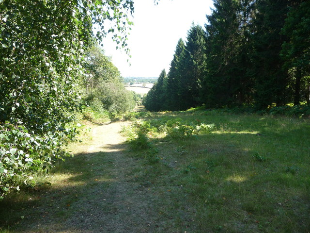
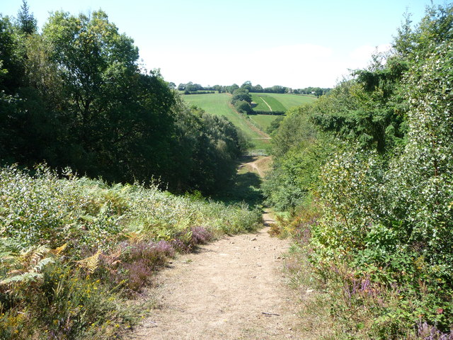
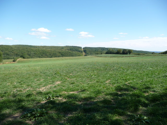
Pound Green Coppice is a picturesque woodland area located in Staffordshire, England. Spanning over several acres, this coppice is a natural haven for nature enthusiasts and hikers alike. The woodland is situated in a rural setting, surrounded by rolling hills and fields, creating a serene and tranquil atmosphere.

The coppice is predominantly made up of deciduous trees, including oak, birch, and beech, which provide a stunning display of colors throughout the seasons. The dense foliage of the woodland offers a cool retreat during the hot summer months, while providing shelter during the colder winter months.

The forest floor is covered in a thick layer of leaf litter, creating a rich habitat for a variety of wildlife. Visitors to Pound Green Coppice may come across a plethora of bird species, such as woodpeckers and nightingales, as well as small mammals like rabbits and squirrels. The area is also home to several species of bats, which can be observed at dusk.

There are numerous walking trails throughout the coppice, allowing visitors to explore the diverse landscape and discover hidden gems within. These paths are well-maintained and offer varying levels of difficulty, catering to both casual strollers and more experienced hikers.

Pound Green Coppice is a popular destination for nature lovers looking to immerse themselves in the beauty of the Staffordshire countryside. With its abundance of wildlife, picturesque scenery, and well-maintained trails, it is an ideal spot for a peaceful escape and a chance to reconnect with nature.

If you have any feedback on the listing, please let us know in the comments section below.

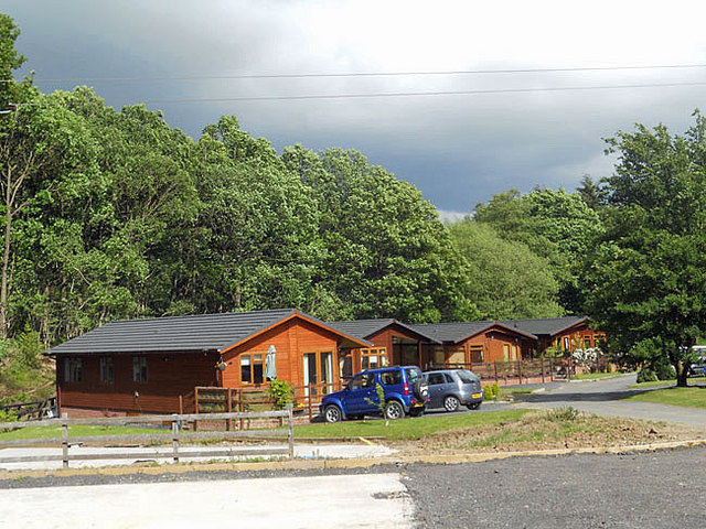
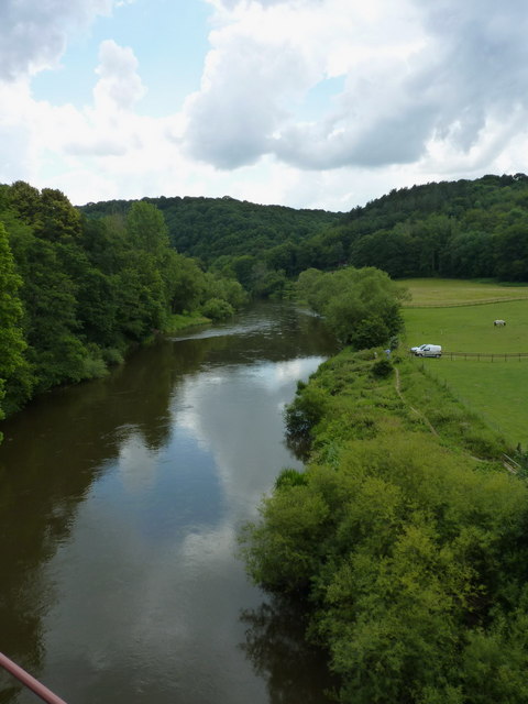
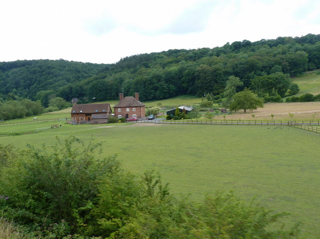
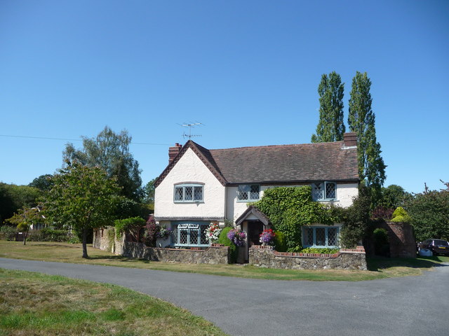
Pound Green Coppice Images

Images are sourced within 2km of 52.402904/-2.3672259 or Grid Reference SO7578. Thanks to Geograph Open Source API. All images are credited.

North Worcestershire Path Near Upper Arley on the River Severn.
North Worcestershire Path
Near Upper Arley on the River Severn.
Trimpley Reservoir Viewed from the adjacent railway line, this is the reservoir at Trimpley, beside the River Severn
Trimpley Reservoir
Viewed from the adjacent railway line, this is the reservoir at Trimpley, beside the River Severn
Picnic Area, Arley station Beside the railway line at Arley Station is a small picnic area
Picnic Area, Arley station
Beside the railway line at Arley Station is a small picnic area
River Severn near Arley Viewed from the railway line crossing Victoria Bridge, this is the River Severn flowing south near Arley
River Severn near Arley
Viewed from the railway line crossing Victoria Bridge, this is the River Severn flowing south near Arley
Coppicegate Farm Holiday homes
Trimpley Reservoir from the SVR Part of Birmingham's water supply system; the reservoirs hold water taken from the river, which is then added to the flow coming from the Elan Valley reservoirs via the <a title="https://www.geograph.org.uk/photo/5532" href="https://www.geograph.org.uk/photo/5532">Link</a> at times of need.
Trimpley Reservoir from the SVR
Part of Birmingham's water supply system; the reservoirs hold water taken from the river, which is then added to the flow coming from the Elan Valley reservoirs via the Link at times of need.
River Severn at Arley Between Trimpley and Arley, the Severn heads south towards Bewdley
River Severn at Arley
Between Trimpley and Arley, the Severn heads south towards Bewdley
The Meadows, Arley House and barn conversion in the Severn Valley, seen from the railway line.
The Meadows, Arley
House and barn conversion in the Severn Valley, seen from the railway line.
House on the B4194 at Button Bridge Lane
Grass to the west, trees to the east The Severn valley south of Arley. Seen from a south-bound Severn Valley Railway train.
Grass to the west, trees to the east
The Severn valley south of Arley. Seen from a south-bound Severn Valley Railway train.
Victoria Bridge Seen from a south-bound Severn Valley Railway train.
Victoria Bridge
Seen from a south-bound Severn Valley Railway train.
South-bound train crossing Victoria Bridge The front seen from the back!
South-bound train crossing Victoria Bridge
The front seen from the back!
Eymore Wood and the River Severn Upstream of Victoria Bridge. Seen from a south-bound Severn Valley Railway train.
Eymore Wood and the River Severn
Upstream of Victoria Bridge. Seen from a south-bound Severn Valley Railway train.
Cottage at Pound Green A handsome cottage in a lovely setting.
Cottage at Pound Green
A handsome cottage in a lovely setting.
Footpath in the Wyre Forest near Buttonoak The footpath here follows a fire break in the woodland but which may well actually be the route of the Elan Valley pipeline carrying water to Brum. Anyway, it is steep!
Footpath in the Wyre Forest near Buttonoak
The footpath here follows a fire break in the woodland but which may well actually be the route of the Elan Valley pipeline carrying water to Brum. Anyway, it is steep!
Footpath in the Wyre Forest Looking westwards.
Footpath in the Wyre Forest
Looking westwards.
The Elan Valley pipeline in the Wyre Forest The break in the plantation shows the line of the water pipeline from near Winwoods Farm.
The Elan Valley pipeline in the Wyre Forest
The break in the plantation shows the line of the water pipeline from near Winwoods Farm.
Trimpley Reservoir View of level control tower from the top of the dam
Trimpley Reservoir
View of level control tower from the top of the dam
Show me another place!

Pound Green Coppice is located at Grid Ref: SO7578 (Lat: 52.402904, Lng: -2.3672259)

Administrative County: Worcestershire

District: Wyre Forest

Police Authority: West Mercia

What 3 Words

///wallet.ogre.rucksack. Near Bewdley, Worcestershire

Related Wikis

Pound Green

Pound Green is a hamlet in Upper Arley, Worcestershire, England. It has a number of tourist landmarks such as Ye Olde New Inn and a village hall that also...

Button Oak

Button Oak is a small village in the English county of Shropshire, England. It is 3 miles north west of Bewdley. Button Oak is very similar to nearby...

Victoria Bridge, Worcestershire

The Victoria Bridge crosses the River Severn between Arley and Bewdley in Worcestershire, England. At the time of its construction, the 200-foot railway...

Wyre Forest

Wyre Forest is a large, semi-natural (partially unmanaged) woodland and forest measuring 26.34 square kilometres (10.17 sq mi) which straddles the borders...

Nearby Amenities

Located within 500m of 52.402904,-2.3672259
Button Oak
Created By: xybot
Place: hamlet
Wikidata: Q5003088
Lat/Long: 52.3988333/-2.3655443
Post Box
Ref: DY12 222
Lat/Long: 52.4041548/-2.3604853
Bus Stop
Button Oak
Bus: yes
Naptan AtcoCode: 2000G099999
Naptan Bearing: NW
Naptan CommonName: Button Oak
Naptan Indicator: Adj
Naptan Landmark: B4194
Naptan NaptanCode: wocgjwgd
Naptan Street: B4194
Naptan Verified: no
Public Transport: platform
Source: naptan_import
Lat/Long: 52.399056/-2.3644853
Man Made: manhole
Manhole: water
Pipeline: inspection chamber
Lat/Long: 52.3995844/-2.3636431
Post Box
Collection Times: Mo-Fr 15:20; Sa 09:00
Post Box Type: wall
Ref: DY12 87
Royal Cypher: VR
Royal Cypher Wikidata: Q33102356
Lat/Long: 52.3991893/-2.3645552
Parking
Lat/Long: 52.4020201/-2.374215
Building: yes
Lat/Long: 52.4055678/-2.3638832
Building: yes
Lat/Long: 52.4046711/-2.3636042
Building: yes
Lat/Long: 52.4046449/-2.3626815
Building: yes
Lat/Long: 52.4039903/-2.3626279
Place: farm
Lat/Long: 52.4043503/-2.3618983
Pub
The Button Oak Inn
Addr City: Bewdley
Addr Country: GB
Addr Hamlet: Kinlet
Addr Postcode: DY12 3AQ
Addr Street: Buttonoak
Fhrs Authority: Shropshire
Fhrs Id: 1132422
Fhrs Local Authority Id: 18/00435/COMM
Operator: Banks's
Lat/Long: 52.3997694/-2.3667423
The data included in this document is from www.openstreetmap.org. The data is made available under ODbL.

Have you been to Pound Green Coppice?

Leave your review of Pound Green Coppice below (or comments, questions and feedback).